© Verein Südliche Weinstrasse Annweiler am Trifels e.V. - Axel Brachat


© Verein Südliche Weinstrasse Annweiler am Trifels e.V. - Dominik Ketz

© Verein Südliche Weinstrasse Annweiler am Trifels e.V. - Christina Abele Verein Südliche Weinstrasse Annweiler am Trifels e.V.

© Verein Südliche Weinstrasse Annweiler am Trifels e.V. - Christina Abele Verein Südliche Weinstrasse Annweiler am Trifels e.V.

- Lyhyt kuvaus
-
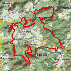
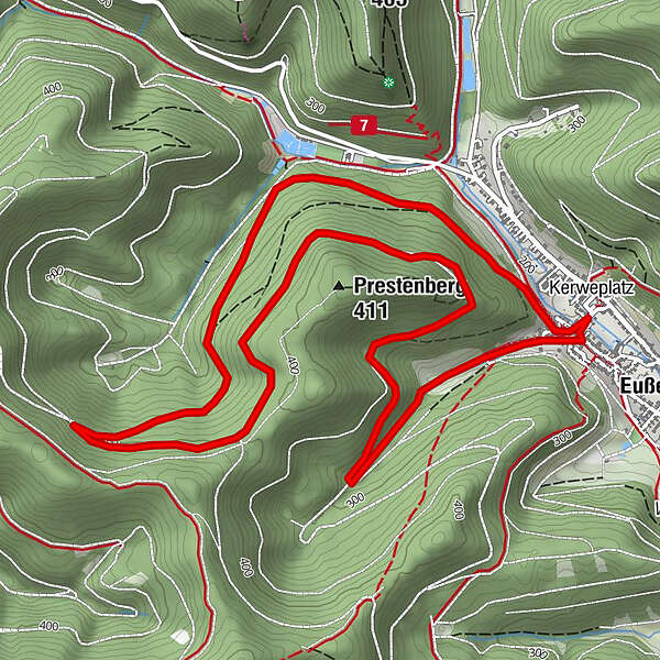
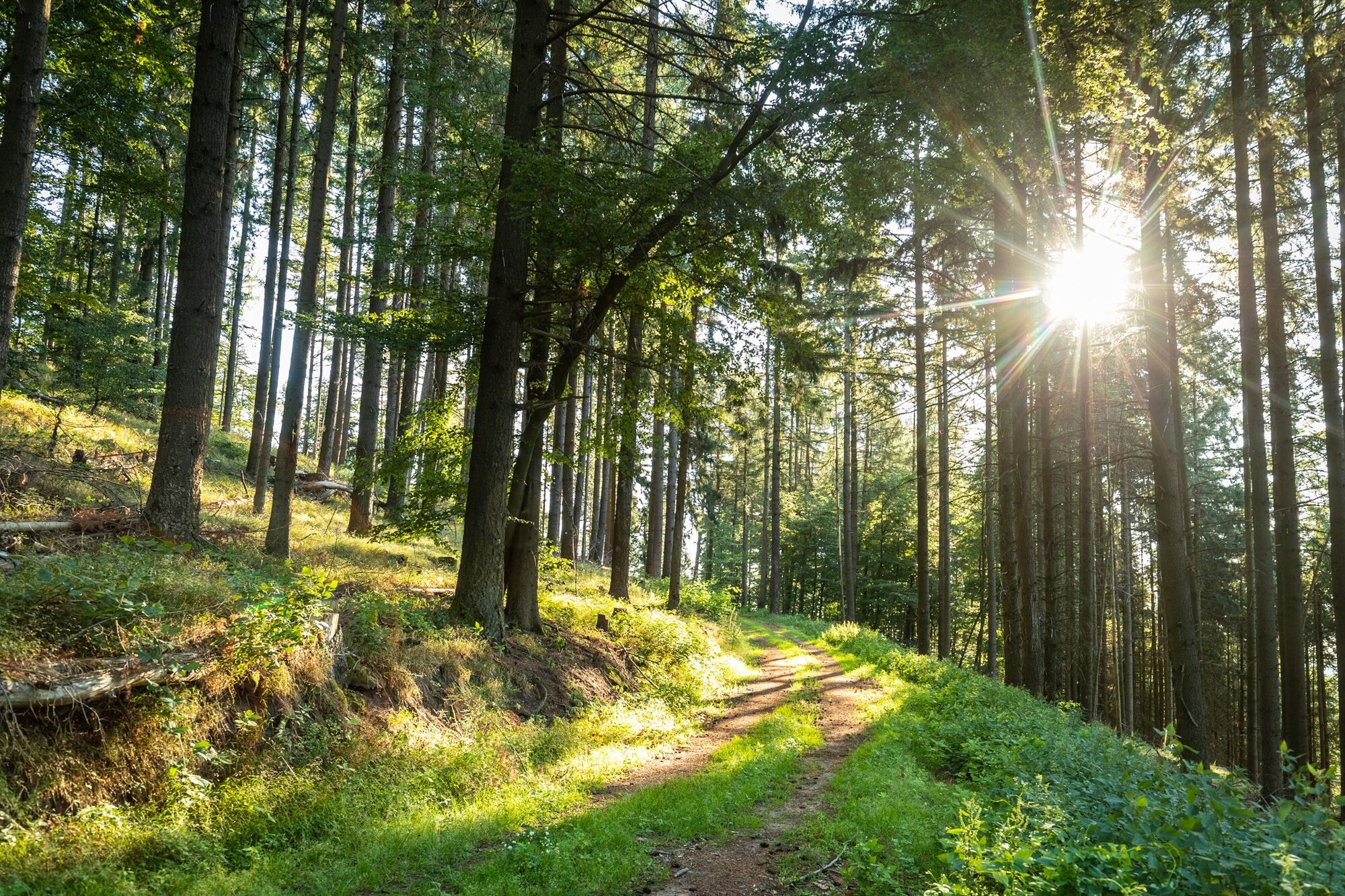
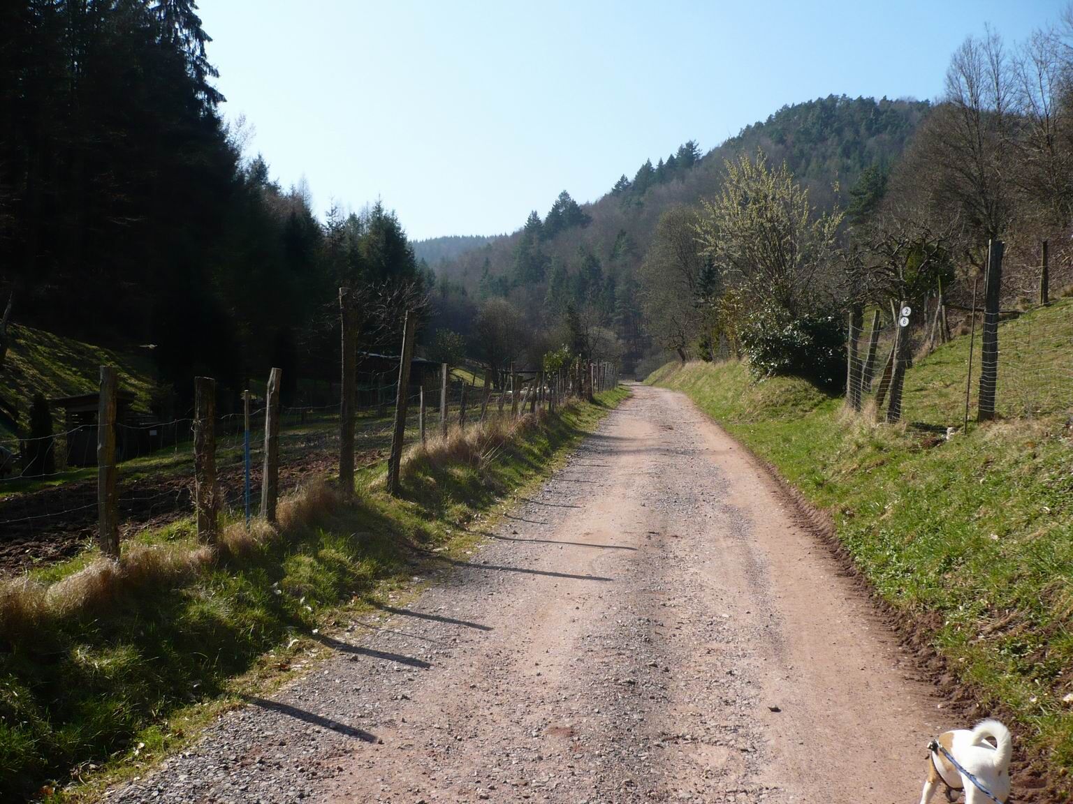
Well-surfaced circular trail around the Prestenberg and below the Sommerfelsen (summer rock)
- Vaikeus
-
helppo
- Arviointi
-
- Reitti
-
EußerthalEußerthal7,2 km
- Paras kausi
-
tammihelmimaalishuhtitoukokesäheinäelosyyslokamarrasjoulu
- Korkein kohta
- 388 m
- Kohde
-
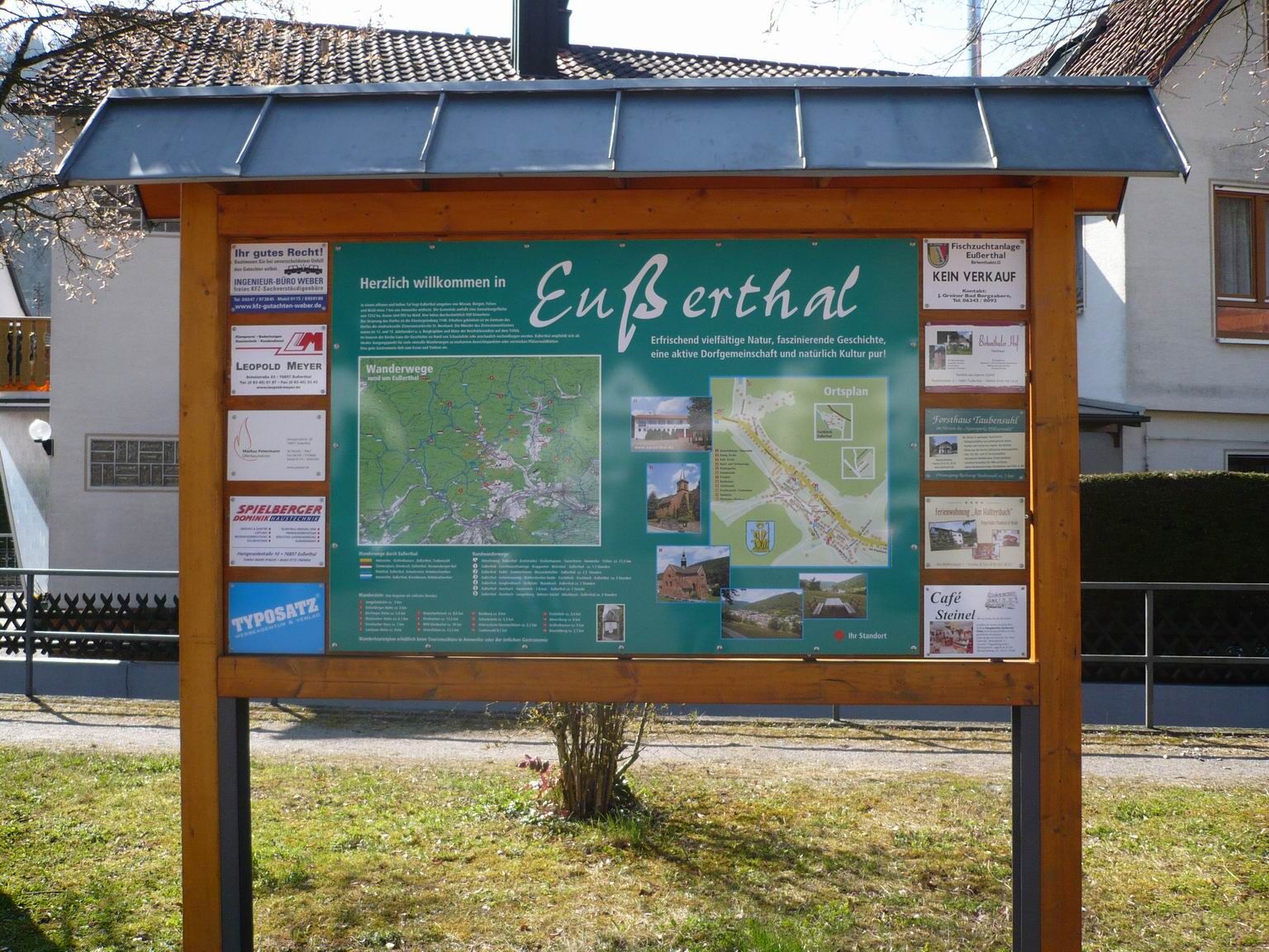
Car park at the village community centre, Hauptstraße 76857 Eußerthal
- Korkeusprofiili
-
 © outdooractive.com


-

-
KirjoittajaKiertue Eußerthal Rundweg 2 käyttää outdooractive.com toimitettu.
GPS Downloads


Lisää retkiä alueilla
-
Pfalz
1515
-
Trifelsland
1061