Rundwanderweg Naturpark Südeifel Nr. 89 Dockendorf (Eifel)


© TI Bitburger Land

© Dr. Karl-Heinz Fellmann

© Dr. Karl-Heinz Fellmann

© TI Bitburger Land

© TI Bitburger Land

© TI Bitburger Land

© TI Bitburger Land

© TI Bitburger Land

© TI Bitburger Land

© TI Bitburger Land


- Lyhyt kuvaus
-
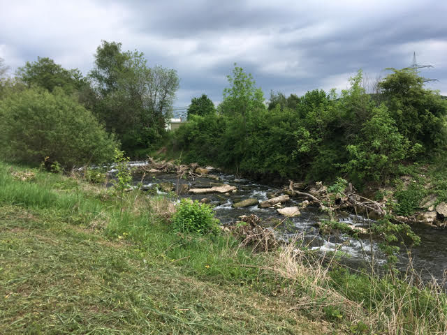
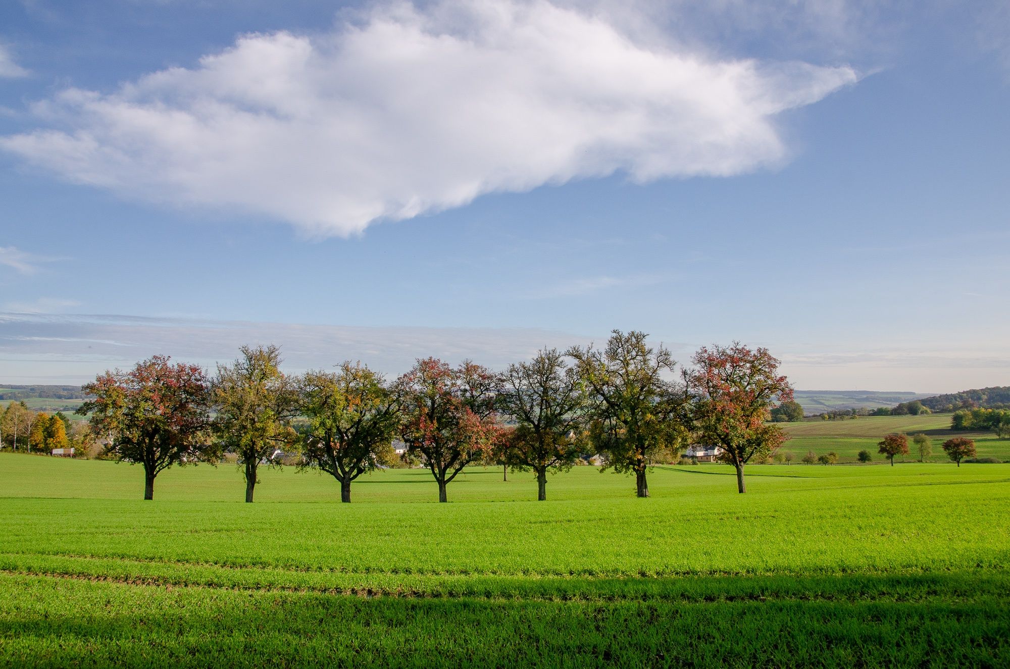
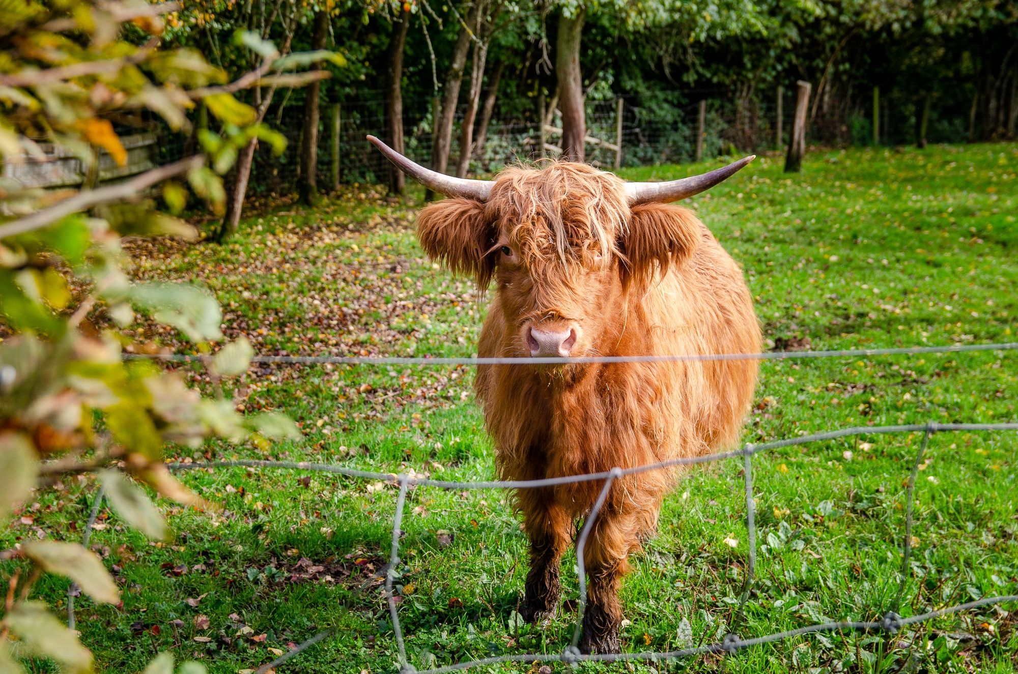
Die rund 12 km lange Wanderung startet und endet in Dockendorf. Die Route führt durch das Naturschutzgebiet "Scharren bei Dockendorf" und an vielen Streuobstwiesen vorbei.“
- Vaikeus
-
tapa
- Arviointi
-
- Reitti
-
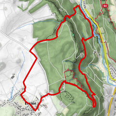
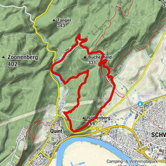
Sankt MartinDockendorf0,3 kmWolsfelderberg2,9 kmHolsthumerberg3,9 kmSankt Martin8,8 kmHof Wiesengrund9,1 kmEichelhof9,3 kmDockendorfermühle11,0 kmDockendorf11,2 km
- Paras kausi
-
tammihelmimaalishuhtitoukokesäheinäelosyyslokamarrasjoulu
- Korkein kohta
- 375 m
- Kohde
-
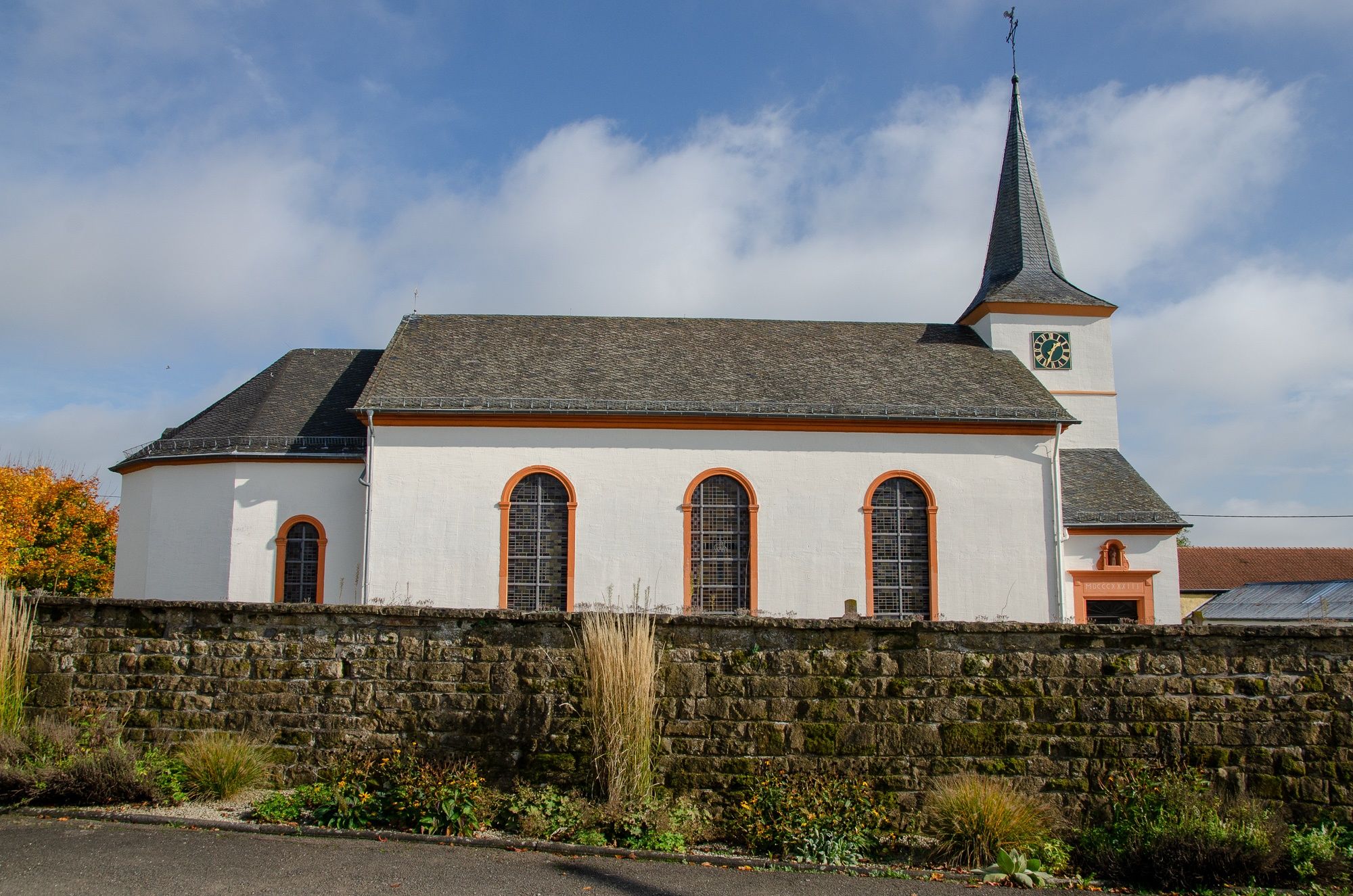
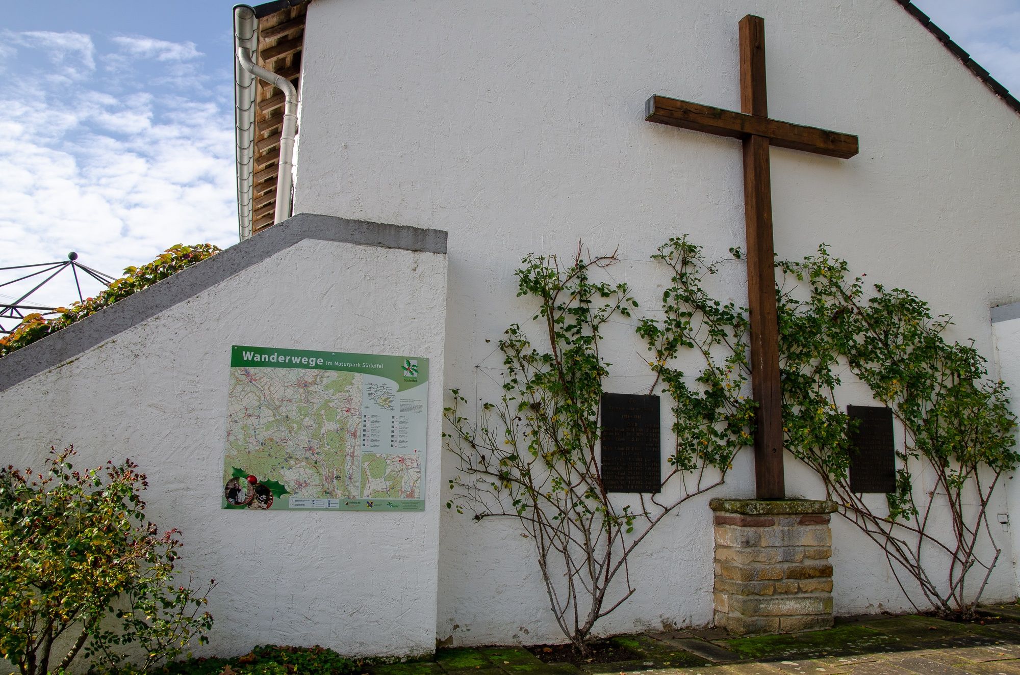
Dockendorf, Talweg (Pfarrkirche St. Martin)
- Korkeusprofiili
-
 © outdooractive.com


- Kirjoittaja
-
Kiertue Rundwanderweg Naturpark Südeifel Nr. 89 Dockendorf (Eifel) käyttää outdooractive.com toimitettu.
GPS Downloads


Yleistä tietoa
Kulttuuri/Historiallinen
Flora
Lupaava
Lisää retkiä alueilla
-
Eifel/ Rheinland-Pfalz
1056
-
Bitburger Land
474