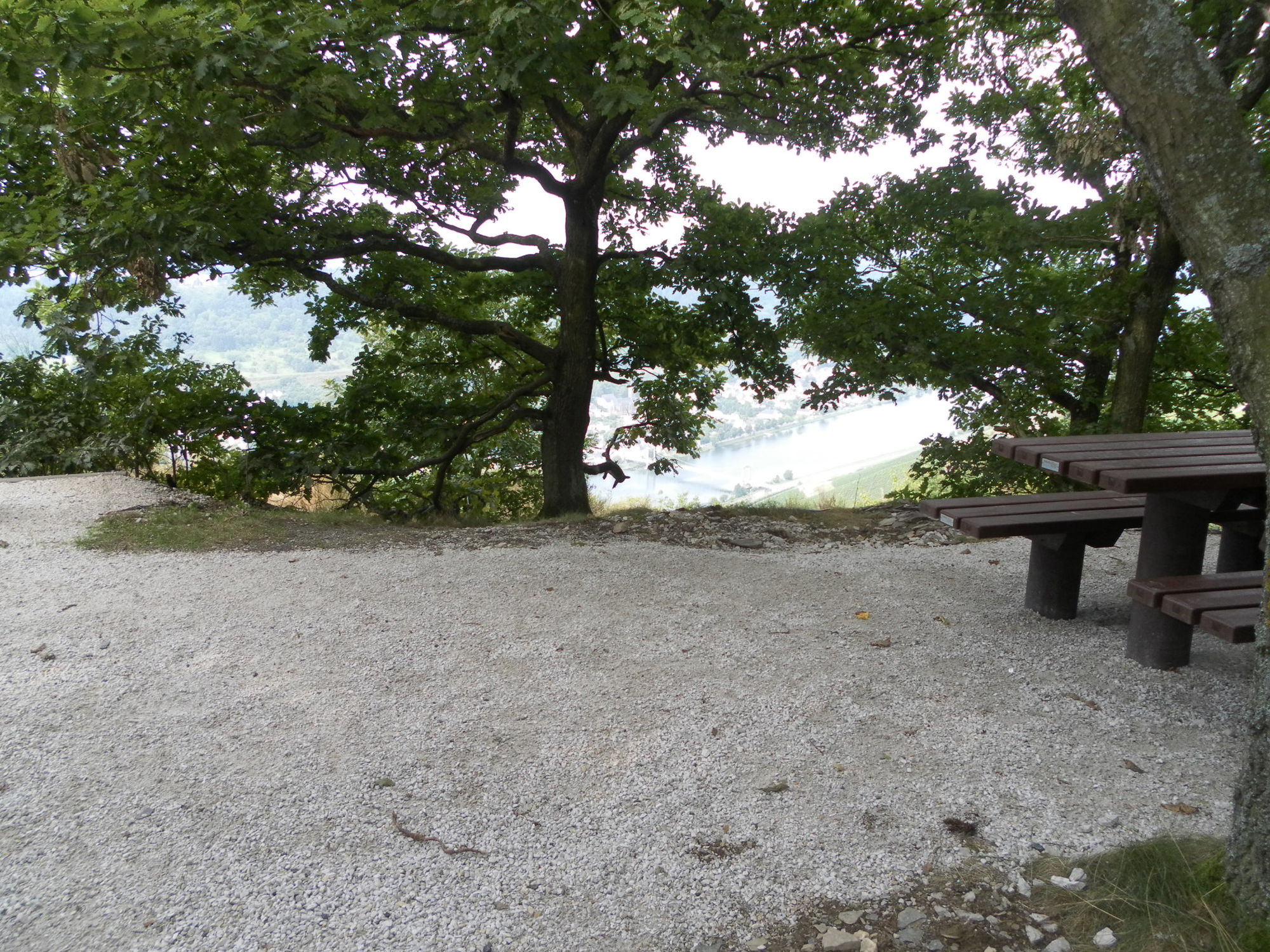
© Ferienland Bernkastel-Kues - Arnoldi


© Tourist- und Gemeindebüro Graach

© Ferienland Bernkastel-Kues - Dieter Ehses

© Ferienland Bernkastel-Kues - Erwin Kandels
- Lyhyt kuvaus
-
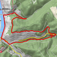
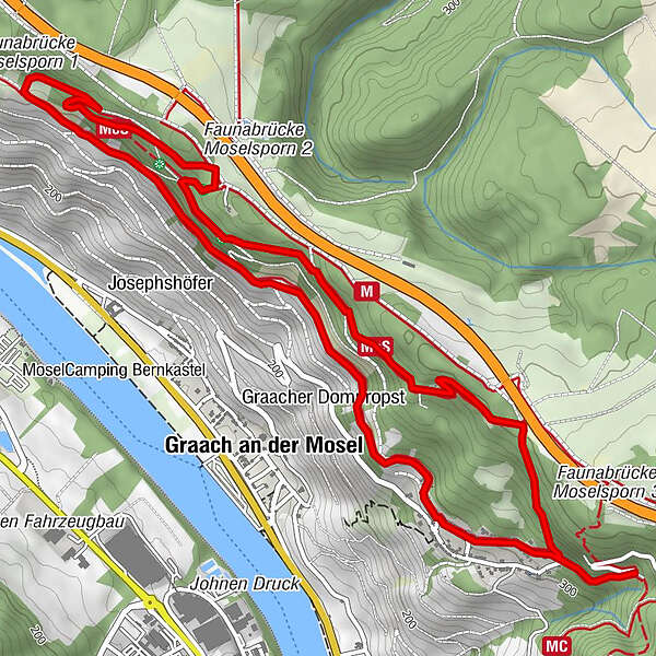
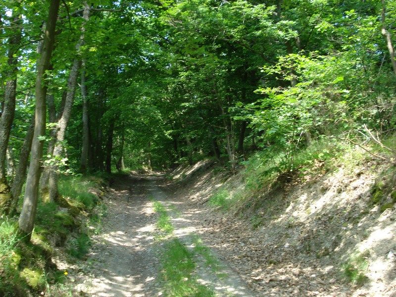
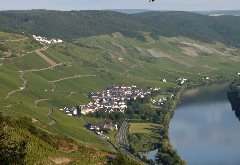
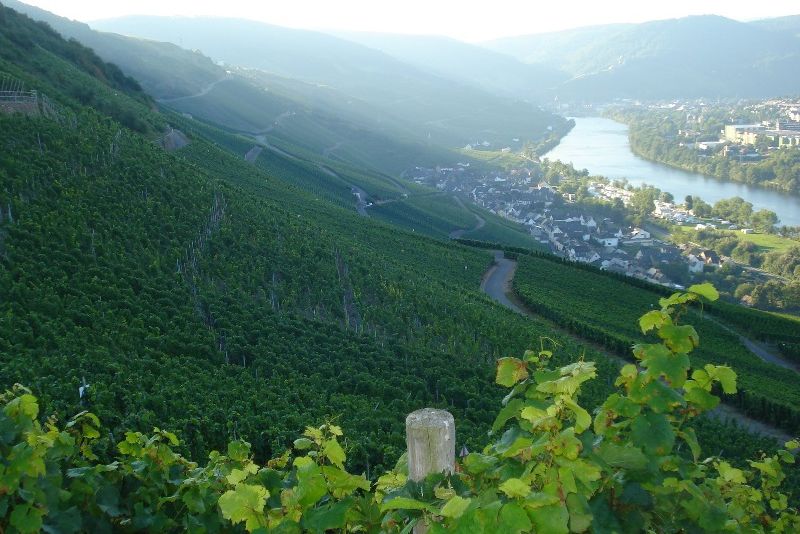
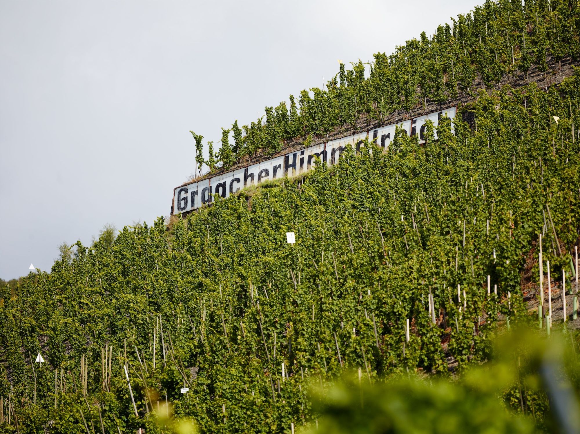
Easy hike of 7.5 kilometres in length. Half of the tour leads - high above the Moselle - through vineyard paths, the rest through light forests.
- Vaikeus
-
helppo
- Arviointi
-
- Reitti
-
Graacher Schäferei0,4 kmGraach an der Mosel5,9 kmGraacher Schäferei6,7 km
- Paras kausi
-
tammihelmimaalishuhtitoukokesäheinäelosyyslokamarrasjoulu
- Korkein kohta
- 398 m
- Kohde
-
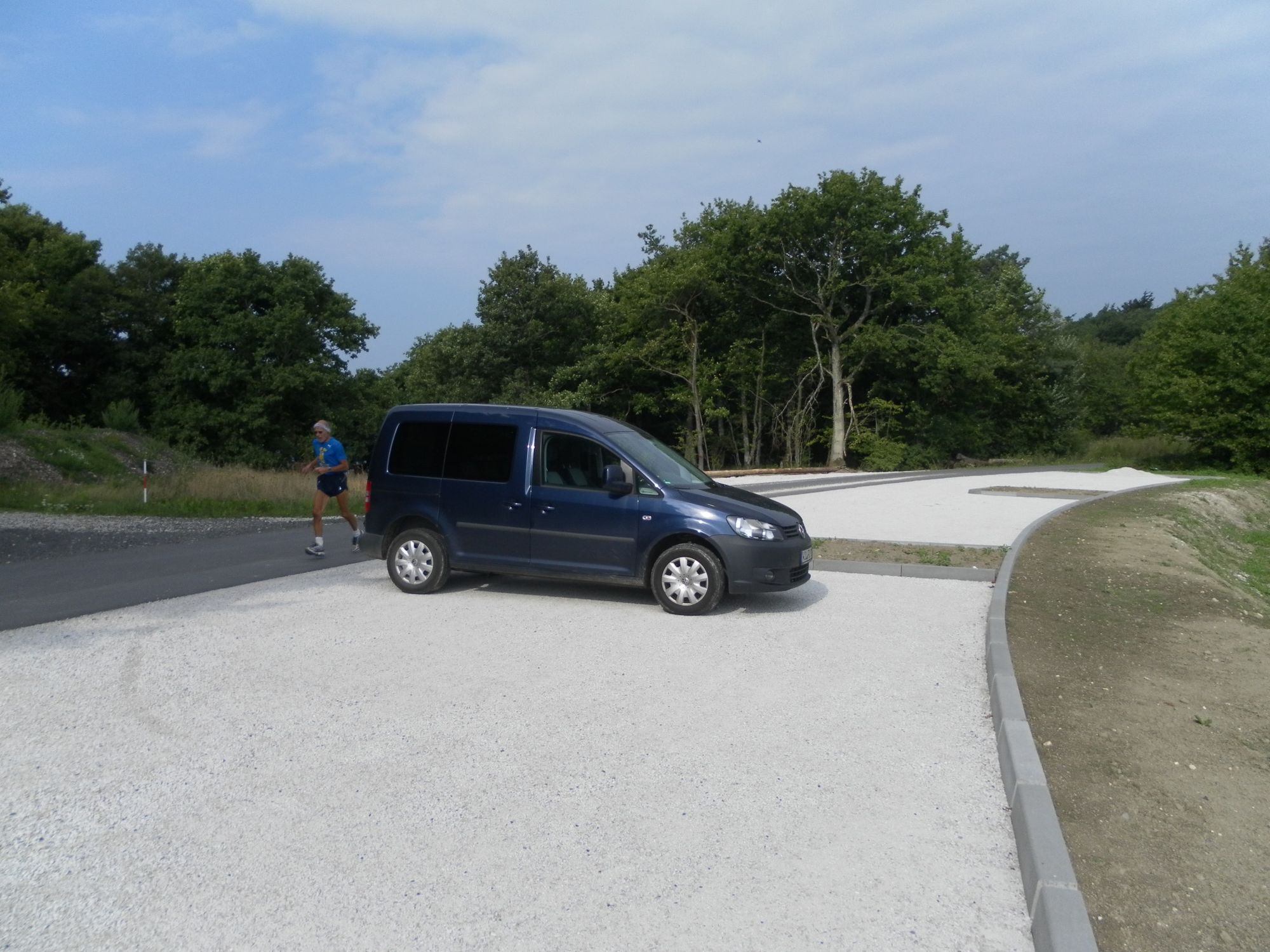
Graacher Schäferei, Parkplatz "An der Traver Ruh" (alternativ: Wanderparkplatz "Auf´m Hahn")
- Korkeusprofiili
-
 © outdooractive.com
-

-
KirjoittajaKiertue Himmelreich-Wanderweg - above the Moselle village Graach käyttää outdooractive.com toimitettu.
GPS Downloads


Yleistä tietoa
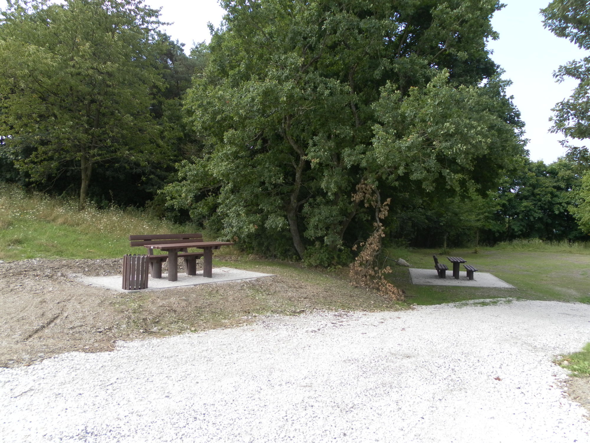
Virvokepysäkki
Lisää retkiä alueilla
-
Mosel-Saar
1078
-
Moselregion Traben-Trarbach Kröv
650
-
Zell (Mosel)
190