© Pfälzerwald-Verein Böchingen - Thomas Jutzy
© Pfälzerwald-Verein Böchingen - Thomas Jutzy
© Pfälzerwald-Verein Böchingen - Thomas Jutzy
© http://www.tourenwelt.info
- Lyhyt kuvaus
-
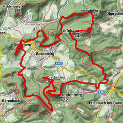
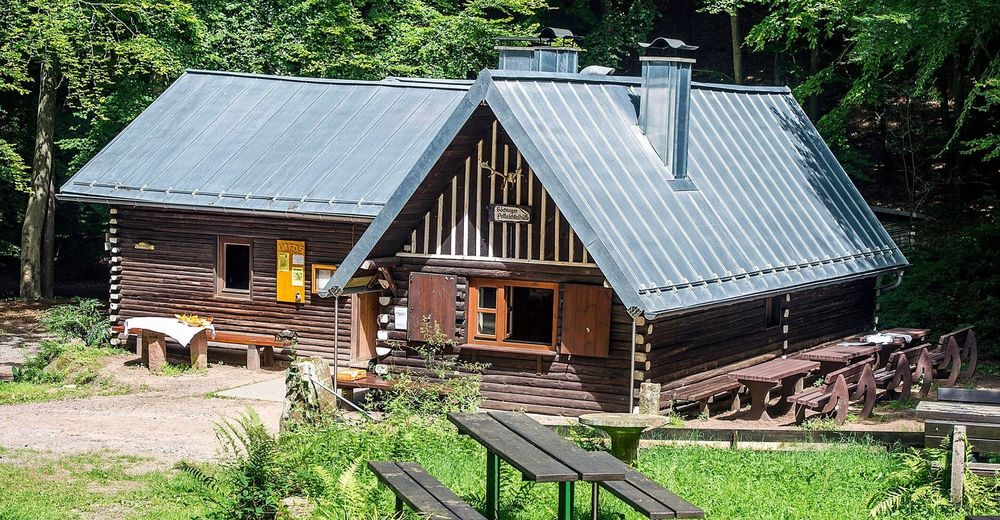
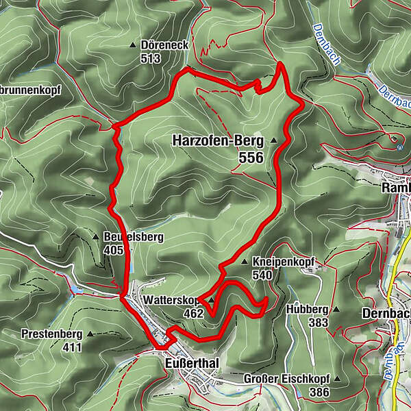
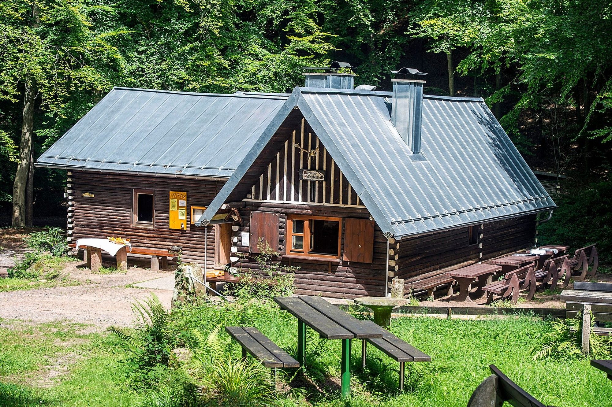
Von Eußerthal über den Schwörstein zur Böchinger Hütte im Pottaschtal
- Reitti
-
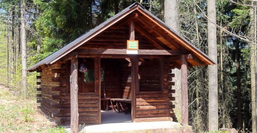
Birkental1,3 kmPottaschtal3,6 kmPottaschbrunnen3,6 kmPottaschtalhütte3,9 kmWatterskopf (462 m)9,3 kmEußerthal11,3 kmKerweplatz12,0 km
- Korkein kohta
- 518 m
- Korkeusprofiili
-
 © outdooractive.com


- Kirjoittaja
-
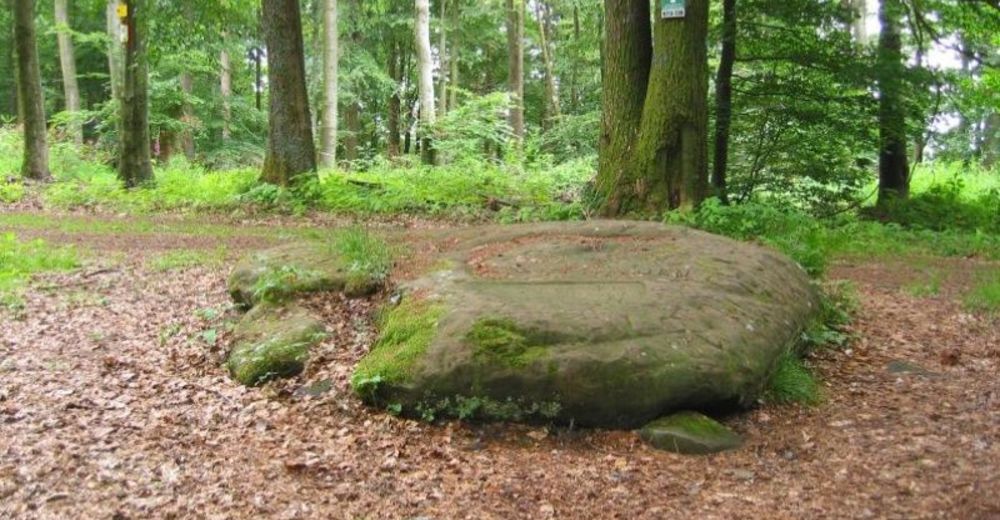
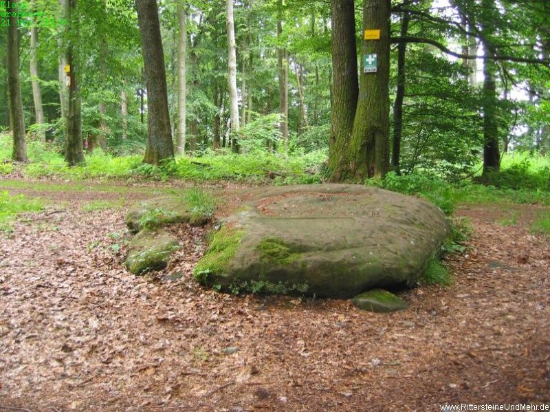
Kiertue Eine Felsplatte mit Geschichte: der Schwörstein käyttää outdooractive.com toimitettu.
GPS Downloads


Lisää retkiä alueilla
-
Pfalz
1515
-
Trifelsland
1061
-
Edenkoben
459