© Tourismus Zentrale Saarland, Frank Polotzek

© Tourismus Zentrale Saarland, Frank Polotzek

© Tourismus Zentrale Saarland, Frank Polotzek - Frank Polotzek

© Tourismus Zentrale Saarland, Frank Polotzek

© Tourismus Zentrale Saarland, Frank Polotzek

© Tourismus Zentrale Saarland, Frank Polotzek


- Lyhyt kuvaus
-
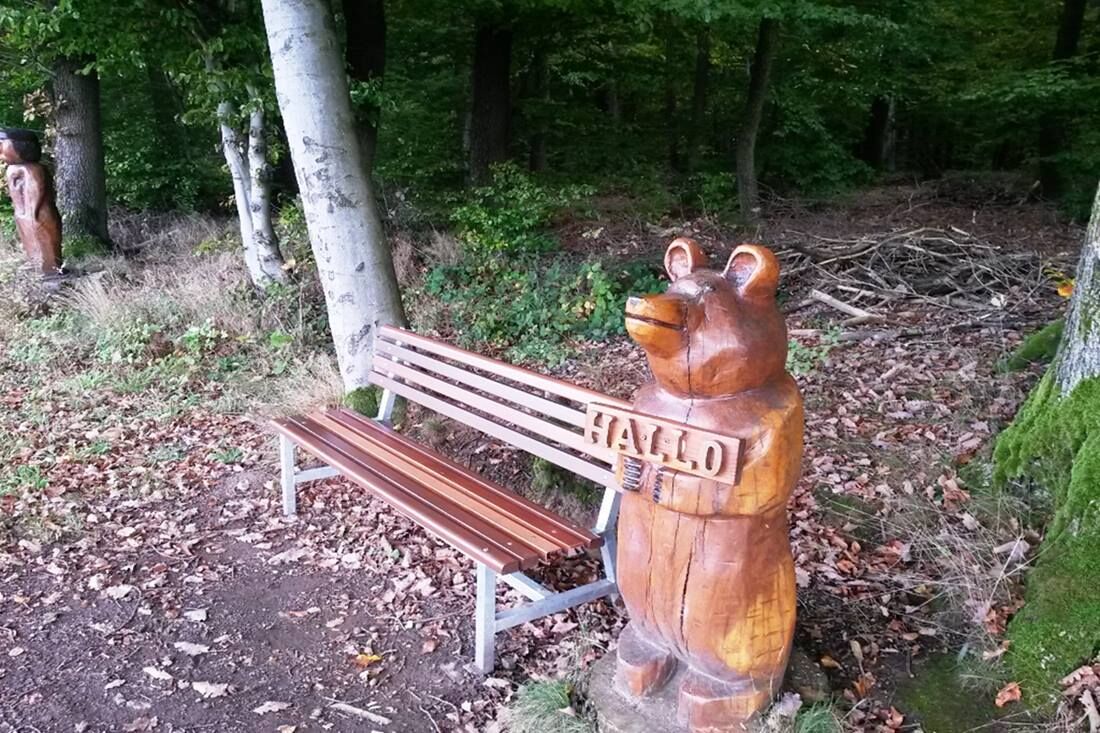
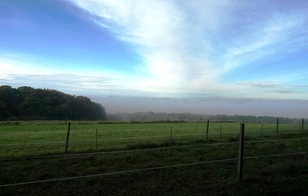
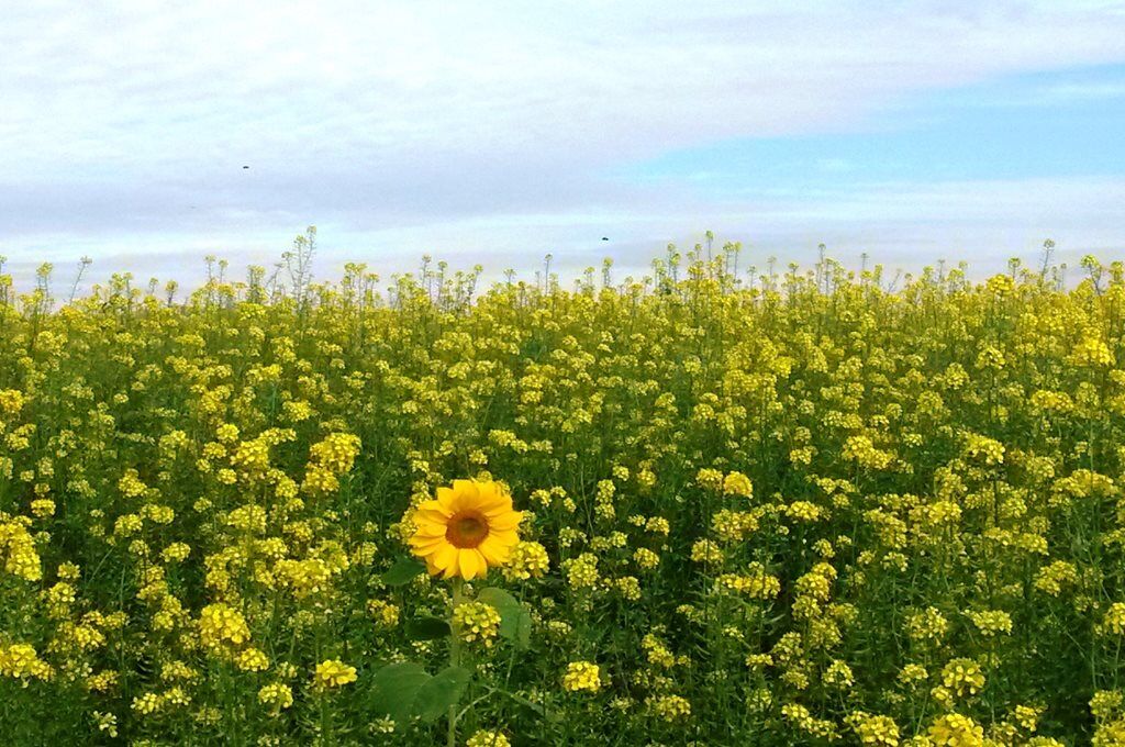
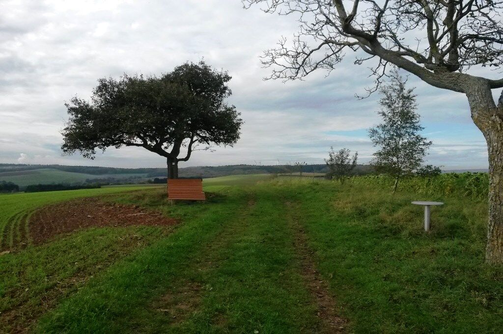
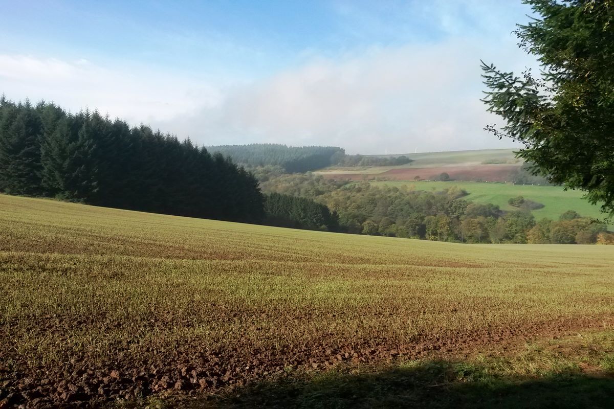
The Beaver Path comprises winding trails and leads through an extension of the Saar-Nahe-Bergland, a mountainous region. Hence, there’ll be a few steep ascents. The valley meadows you’ll see along the way are a nature reserve. Watch out for the creeks, habitat of the beavers.
- Vaikeus
-
vaikea
- Arviointi
-
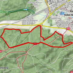
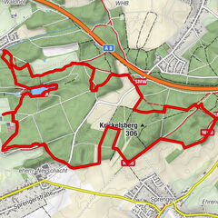
- Reitti
-
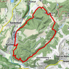
Metzelberg (368 m)8,0 kmBreckert (365 m)12,3 km
- Paras kausi
-
tammihelmimaalishuhtitoukokesäheinäelosyyslokamarrasjoulu
- Korkein kohta
- 400 m
- Kohde
-
Einmündung zum Schullandheim, In der Meulwies 1, 66646 Marpingen-Berschweiler
- Korkeusprofiili
-
 © outdooractive.com

- Kirjoittaja
-
Kiertue Beaver Path käyttää outdooractive.com toimitettu.
GPS Downloads


Yleistä tietoa
Flora
Fauna
Lupaava
Lisää retkiä alueilla