© Tourismusbetrieb der Stadt Oberharz am Brocken - Mandy Leonhardt

© Tourismusbetrieb der Stadt Oberharz am Brocken - Mandy Leonhardt

© Tourismusbetrieb der Stadt Oberharz am Brocken - Mandy Leonhardt

© Tourismusbetrieb der Stadt Oberharz am Brocken - Mandy Leonhardt

© Tourismusbetrieb der Stadt Oberharz am Brocken - Mandy Leonhardt

© Tourismusbetrieb der Stadt Oberharz am Brocken - Mandy Leonhardt

© Tourismusbetrieb der Stadt Oberharz am Brocken - Mandy Leonhardt

© Tourismusbetrieb der Stadt Oberharz am Brocken - Mandy Leonhardt

© Tourismusbetrieb der Stadt Oberharz am Brocken - Mandy Leonhardt

© Tourismusbetrieb der Stadt Oberharz am Brocken - Mandy Leonhardt

- Lyhyt kuvaus
-
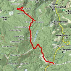
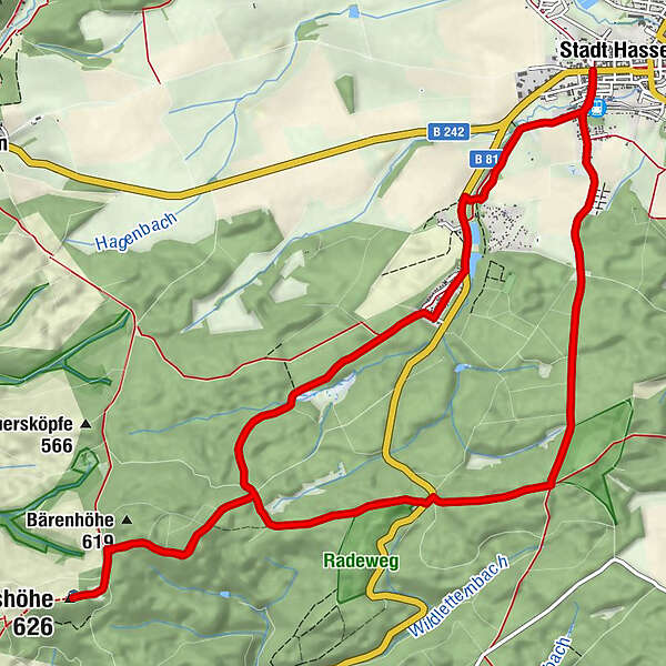
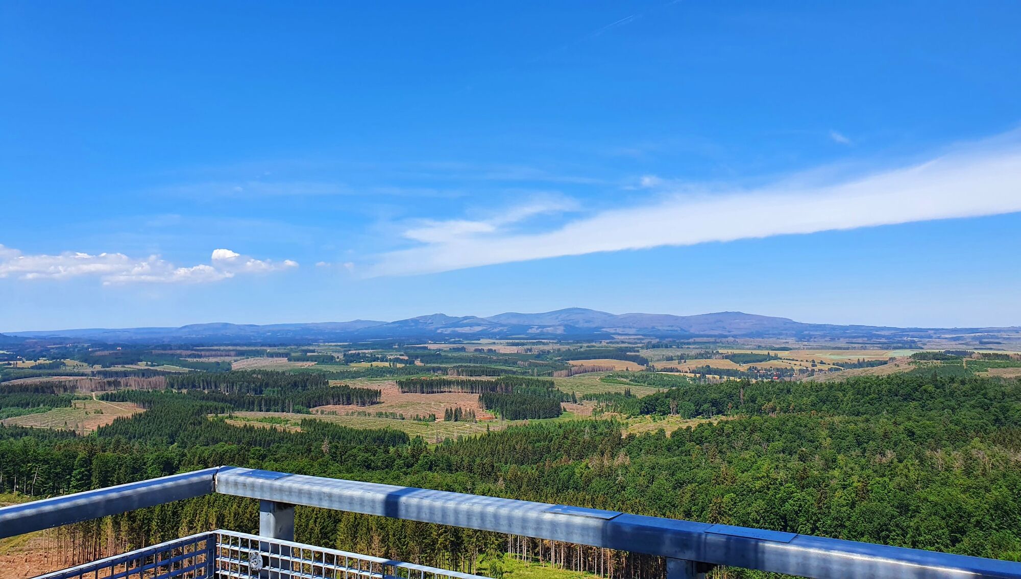
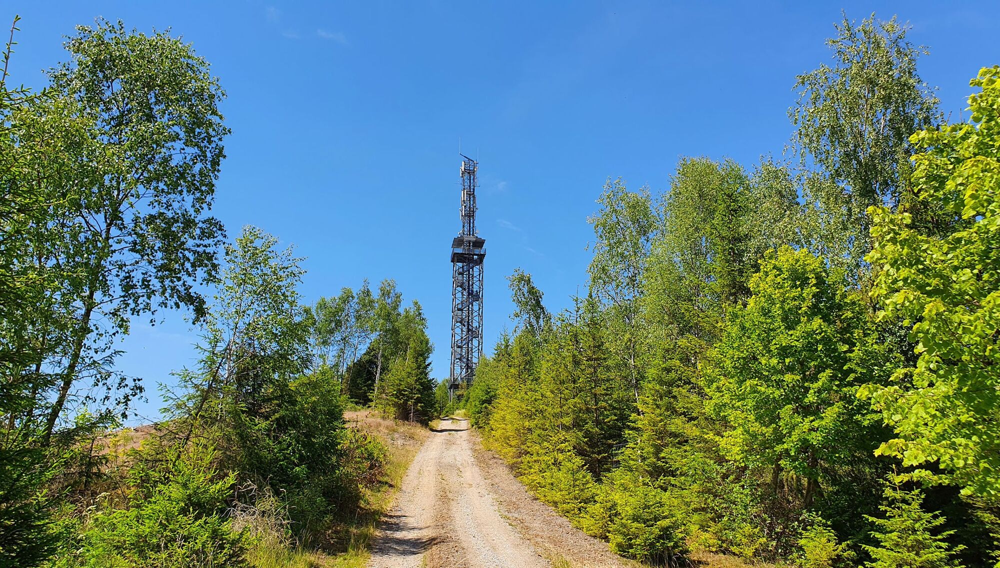
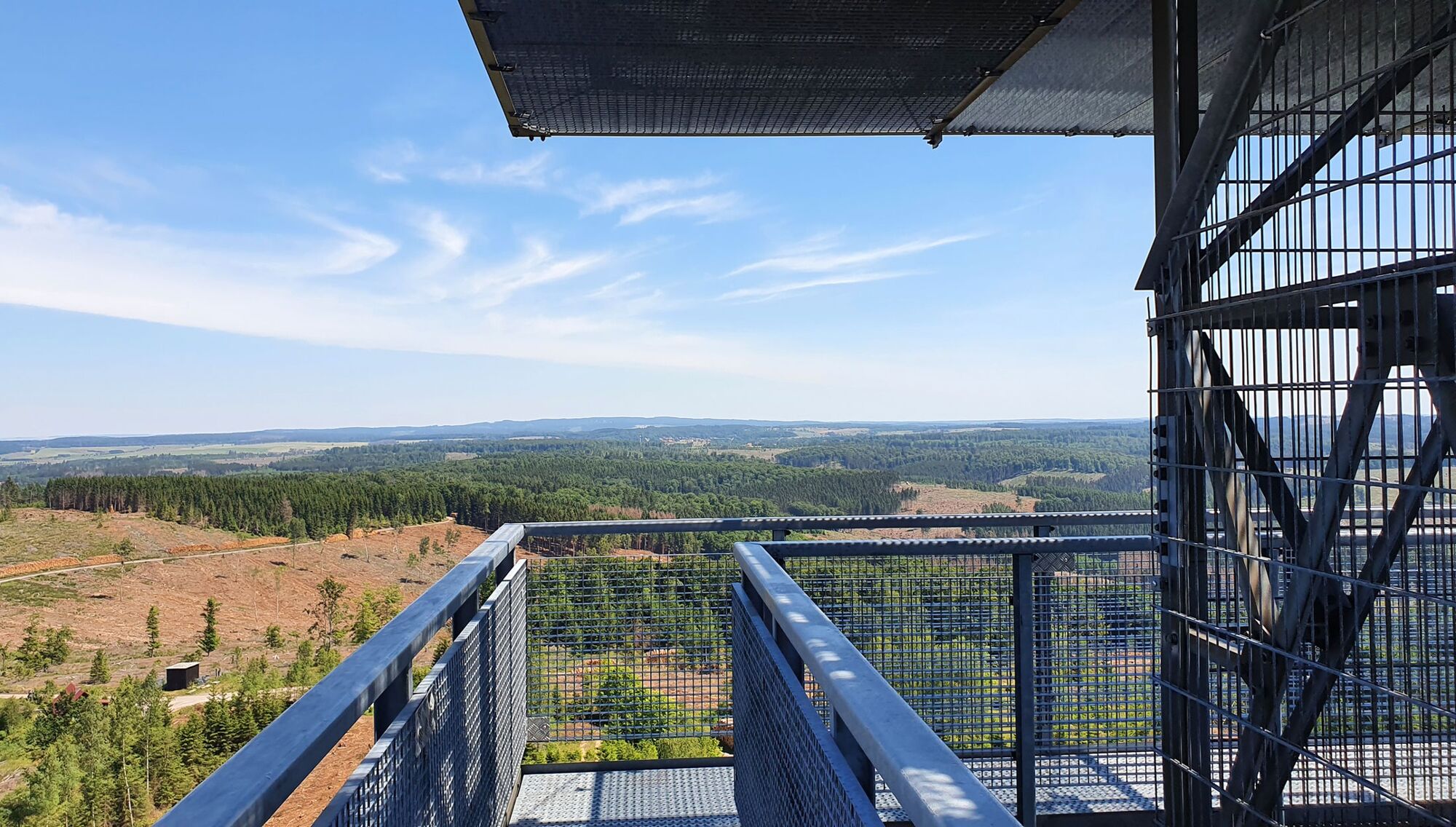
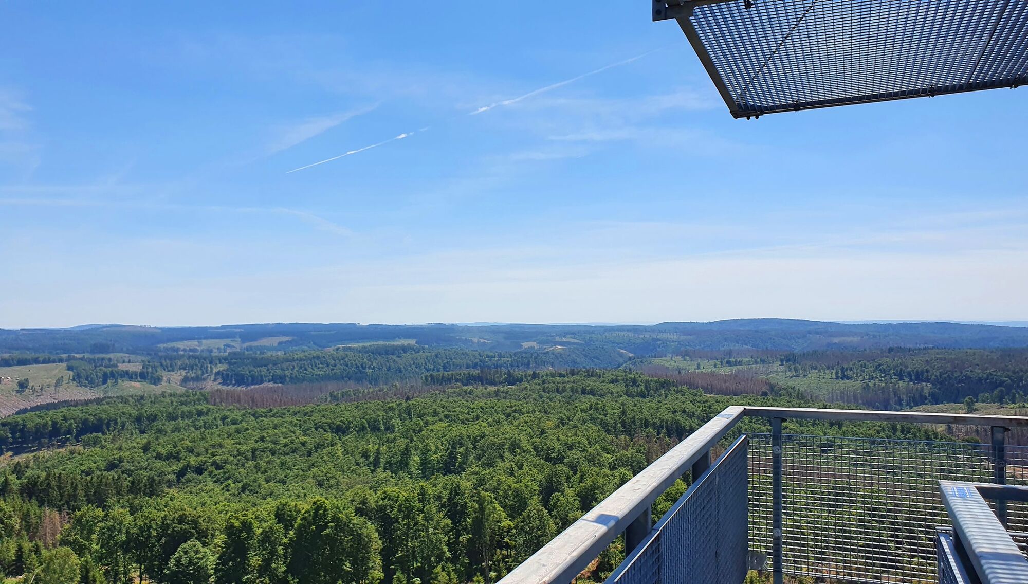
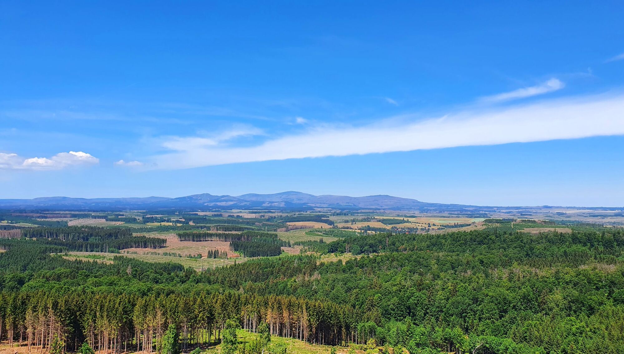
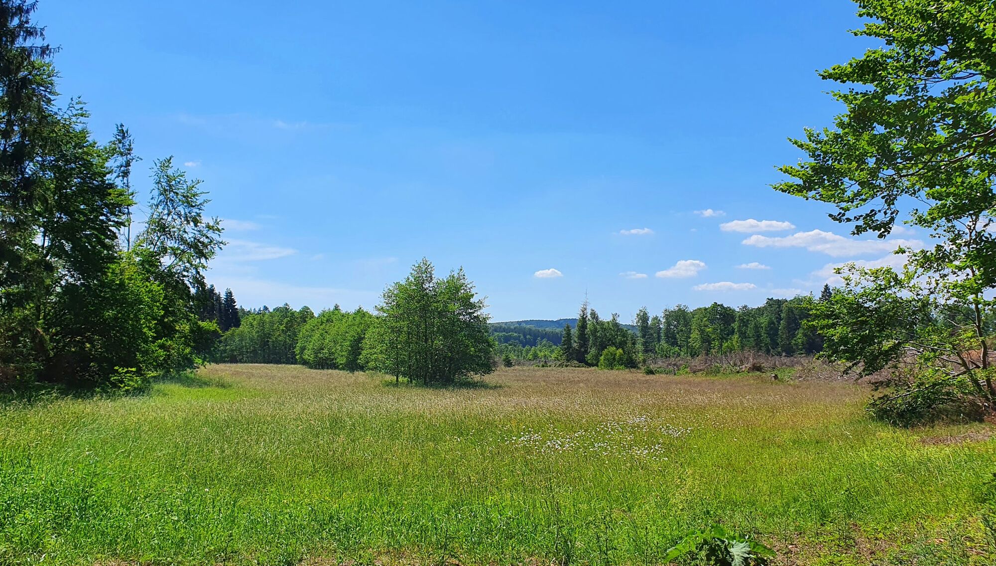
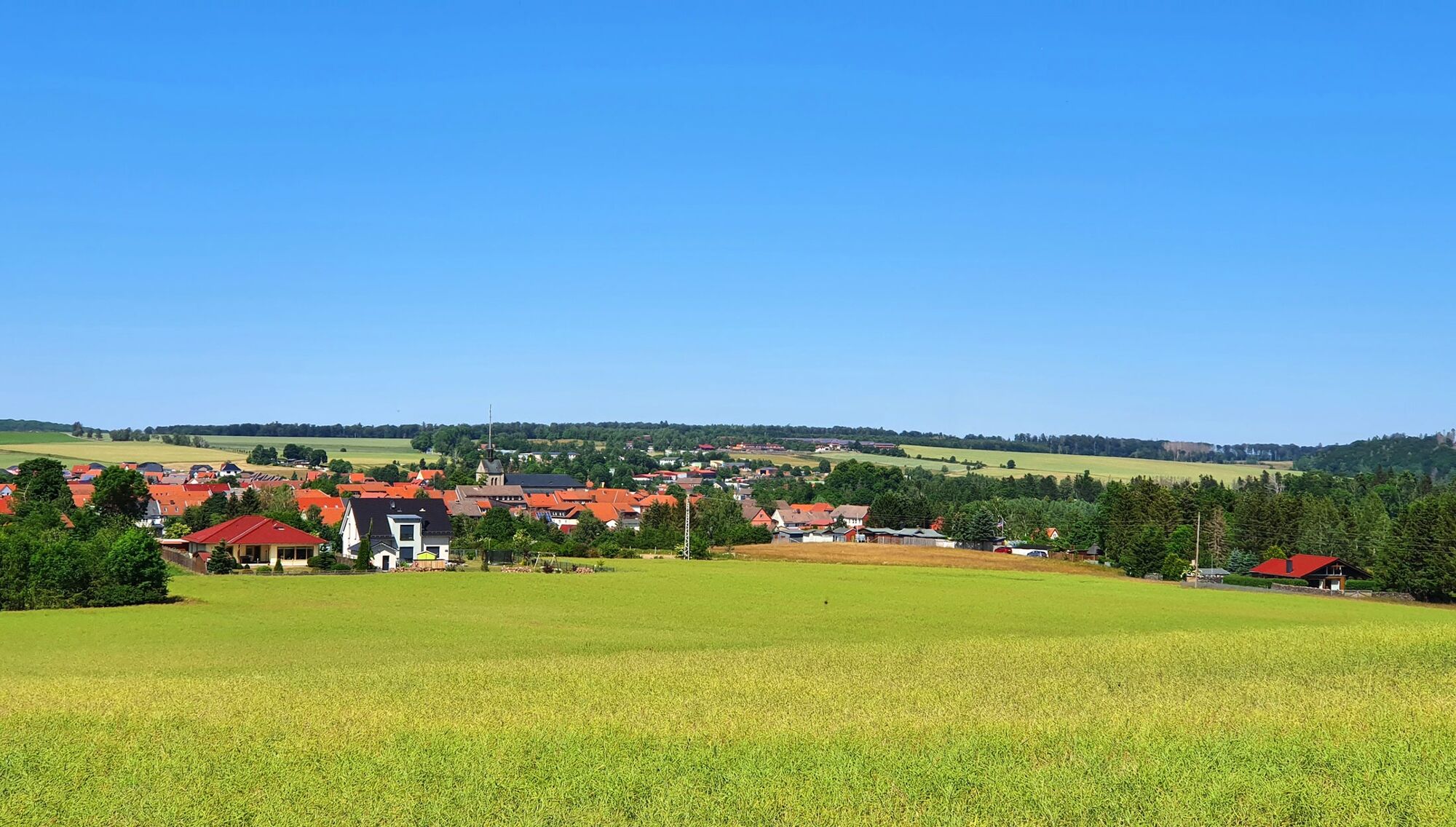
A 13 km long circular hike to the Carlshausturm with a fantastic view over the entire eastern Harz mountains, with the Brocken mountain panorama, as well as to the Josephskreuz and Kyffhäuser.
- Vaikeus
-
tapa
- Arviointi
-
- Reitti
-
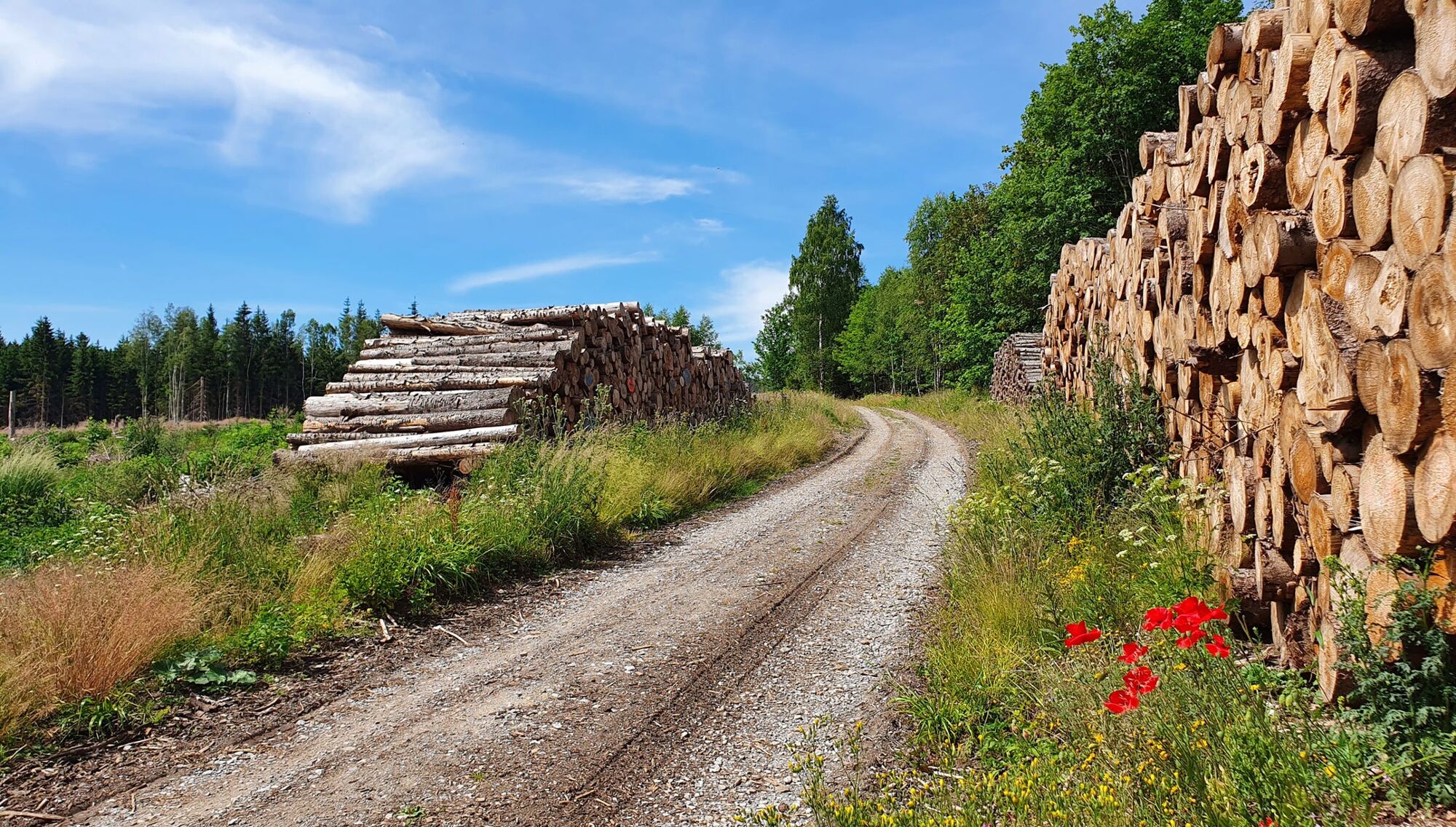
Hotel Pension Rebentisch2,2 kmRotacker2,3 kmHahnefurtkreuzung4,6 kmCarlshausturm (626 m)6,3 kmCarlshaushöhe (626 m)6,3 kmHahnefurtkreuzung8,1 kmBrockenblick12,5 km
- Paras kausi
-
tammihelmimaalishuhtitoukokesäheinäelosyyslokamarrasjoulu
- Korkein kohta
- 619 m
- Kohde
-
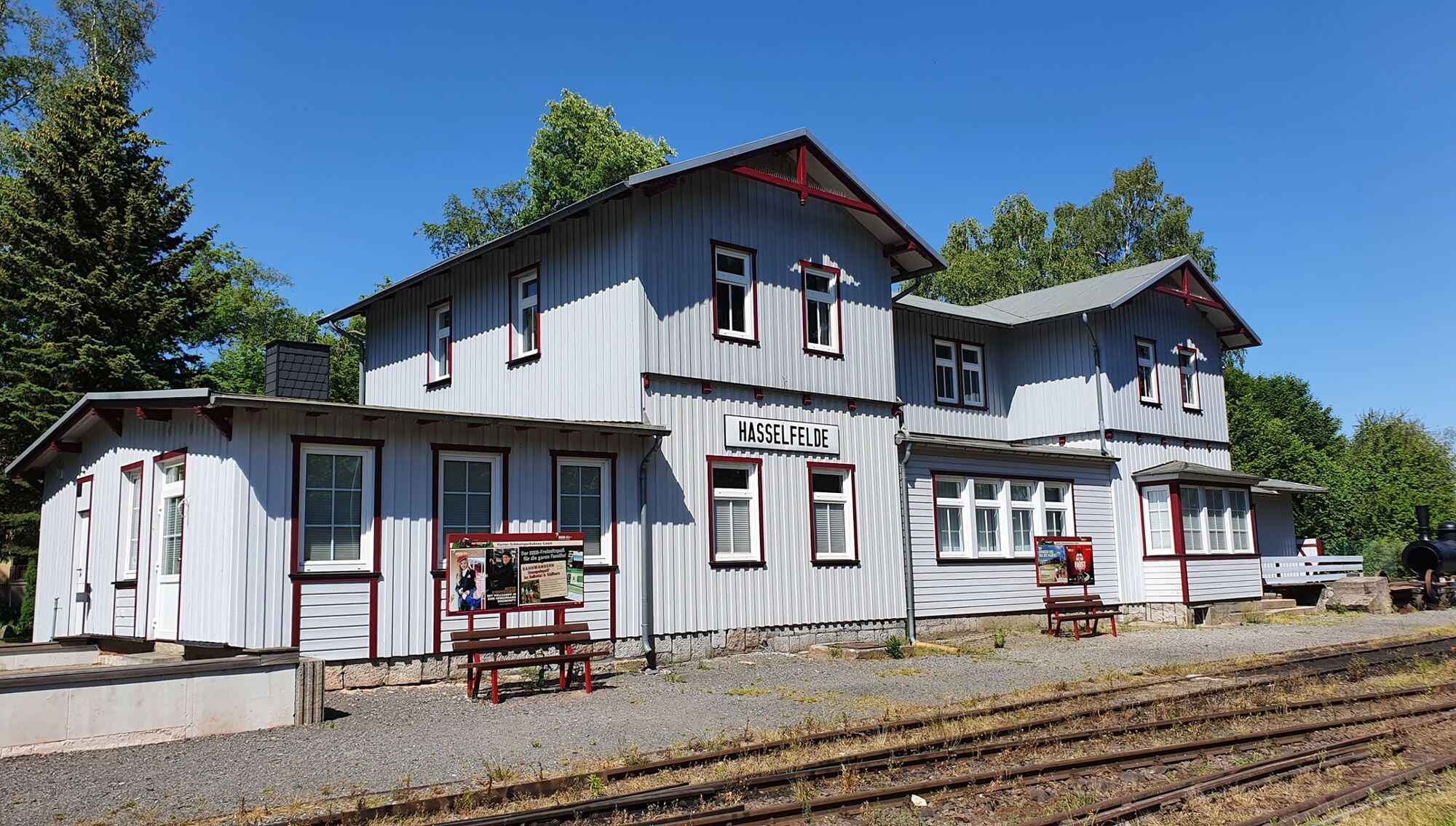
Hasselfelde: tourist information office
- Korkeusprofiili
-
 © outdooractive.com
-

-
KirjoittajaKiertue Hike to the Carlshausturm with a panoramic view (HWN 51) käyttää outdooractive.com toimitettu.
GPS Downloads


Yleistä tietoa
Lupaava
Lisää retkiä alueilla
-
Der Harz/ Thüringen
1089
-
Bodetal
617
-
Stiege
201