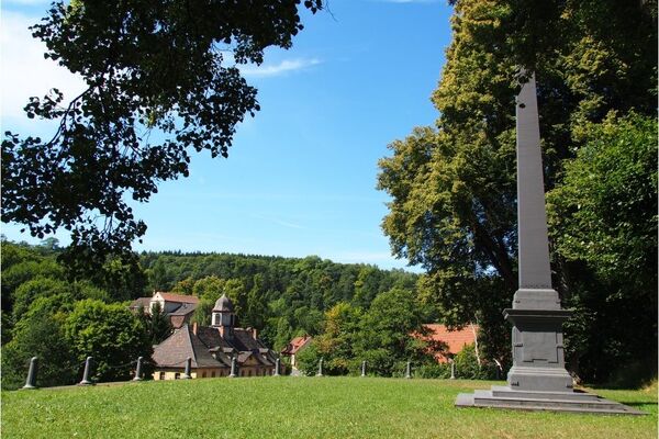
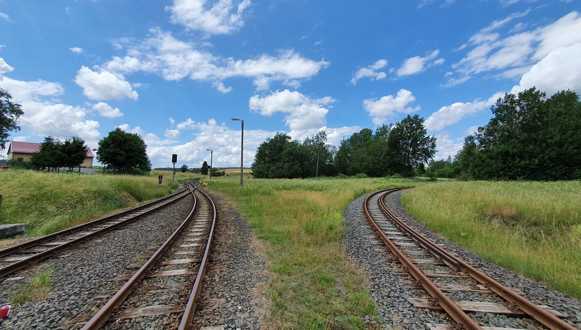
© Tourismusbetrieb der Stadt Oberharz am Brocken - Mandy Leonhardt

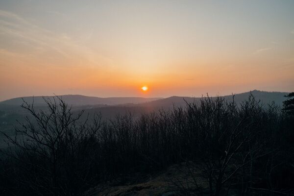
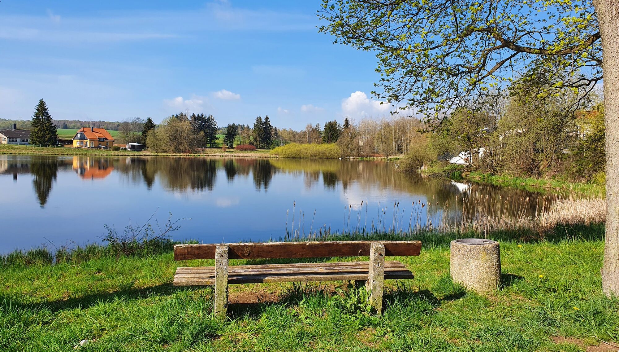
© Tourismusbetrieb der Stadt Oberharz am Brocken - Mandy Leonhardt

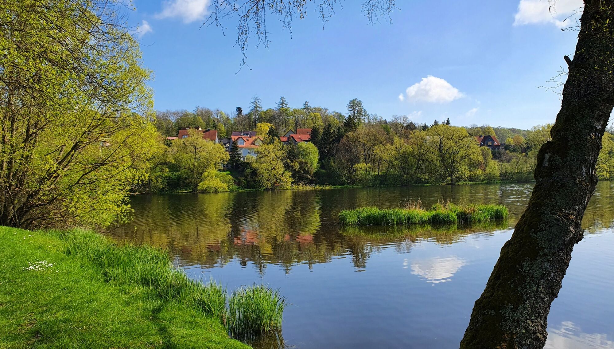
© Tourismusbetrieb der Stadt Oberharz am Brocken - Jan Reichel

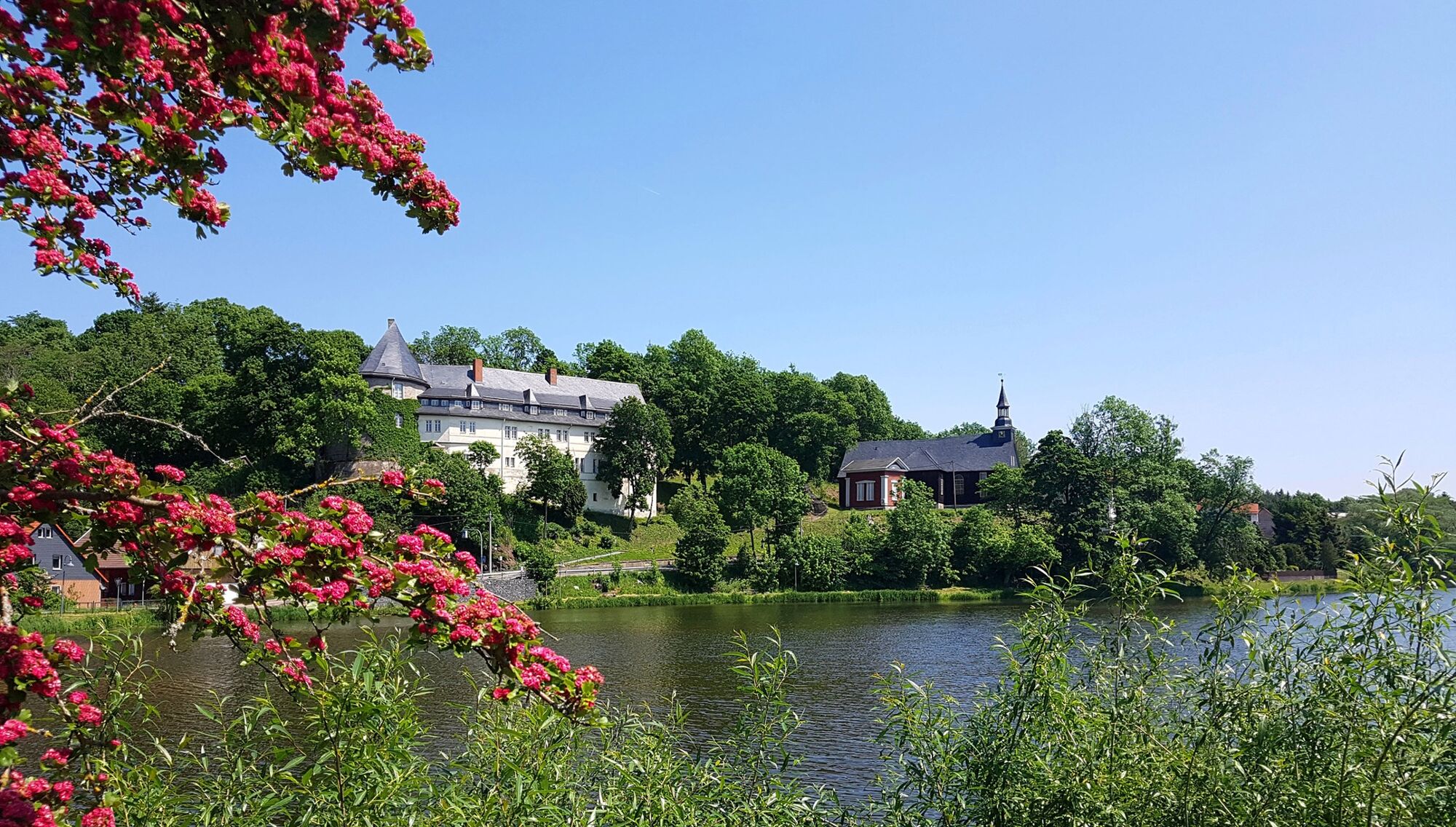
© Tourismusbetrieb der Stadt Oberharz am Brocken - Mandy Leonhardt

© Tourismusbetrieb der Stadt Oberharz am Brocken - Mandy Leonhardt

© Tourismusbetrieb der Stadt Oberharz am Brocken - Mandy Leonhardt

© Tourismusbetrieb der Stadt Oberharz am Brocken - Mandy Leonhardt

© Tourismusbetrieb der Stadt Oberharz am Brocken - Mandy Leonhardt

© Tourismusbetrieb der Stadt Oberharz am Brocken - Mandy Leonhardt

© Tourismusbetrieb der Stadt Oberharz am Brocken - Mandy Leonhardt

- Lyhyt kuvaus
-
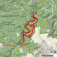
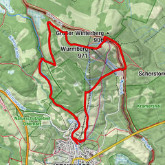
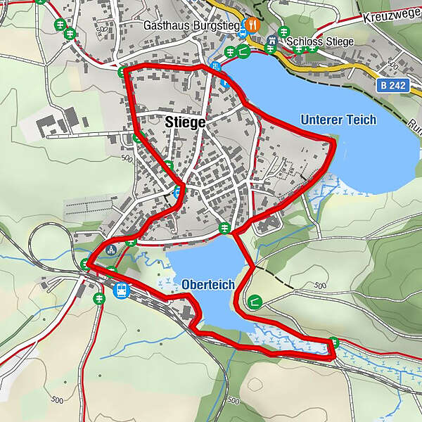
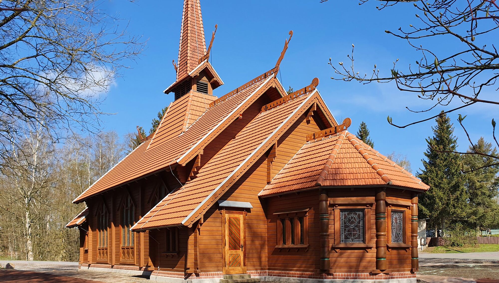
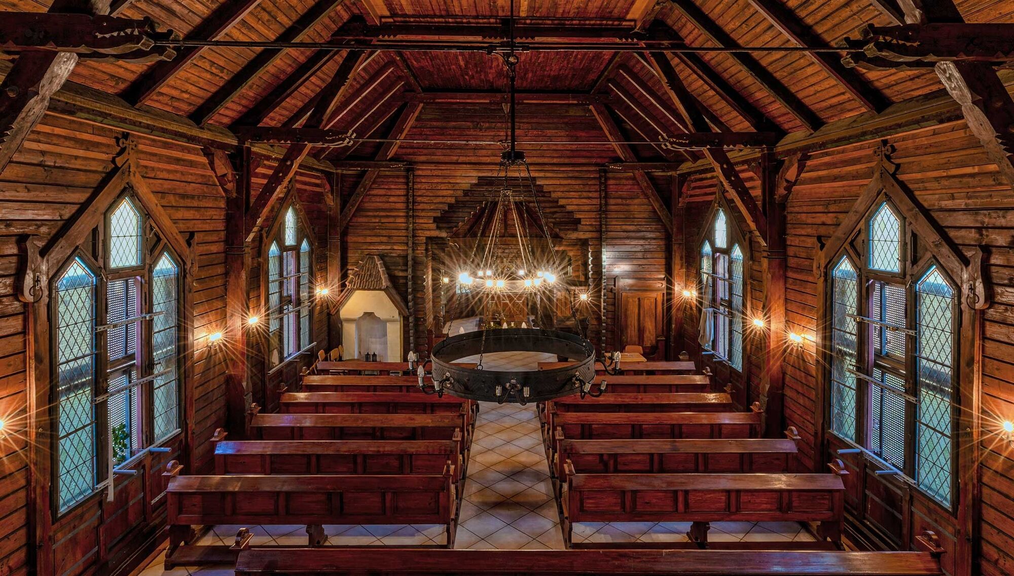
Small circular route through the village of Stiege along the Lake Stiege directly to the stave church of Stiege.
- Vaikeus
-
helppo
- Arviointi
-
- Reitti
-
Stiege (485 m)0,1 kmHasselfall2,1 kmStiege2,7 km
- Paras kausi
-
tammihelmimaalishuhtitoukokesäheinäelosyyslokamarrasjoulu
- Korkein kohta
- 501 m
- Kohde
-
parking spots at the station of Stiege
- Korkeusprofiili
-
 © outdooractive.com


-

-
KirjoittajaKiertue Circular hiking trail stave church of Stiege käyttää outdooractive.com toimitettu.
GPS Downloads


Yleistä tietoa
Virvokepysäkki
Sisäpiirin vinkki
Lupaava
Lisää retkiä alueilla
-
Der Harz/ Thüringen
1090
-
Bodetal
618
-
Stiege
201