© Ralf Böstge - Sandra Marquardt

© Ralf Böstge - Sandra Marquardt

© Ralf Böstge - Sandra Marquardt


- Lyhyt kuvaus
-
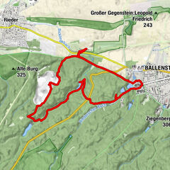
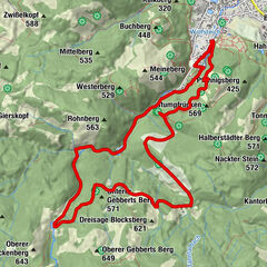
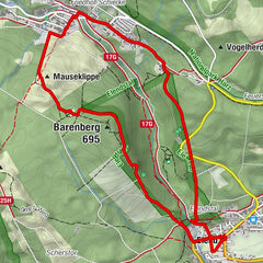
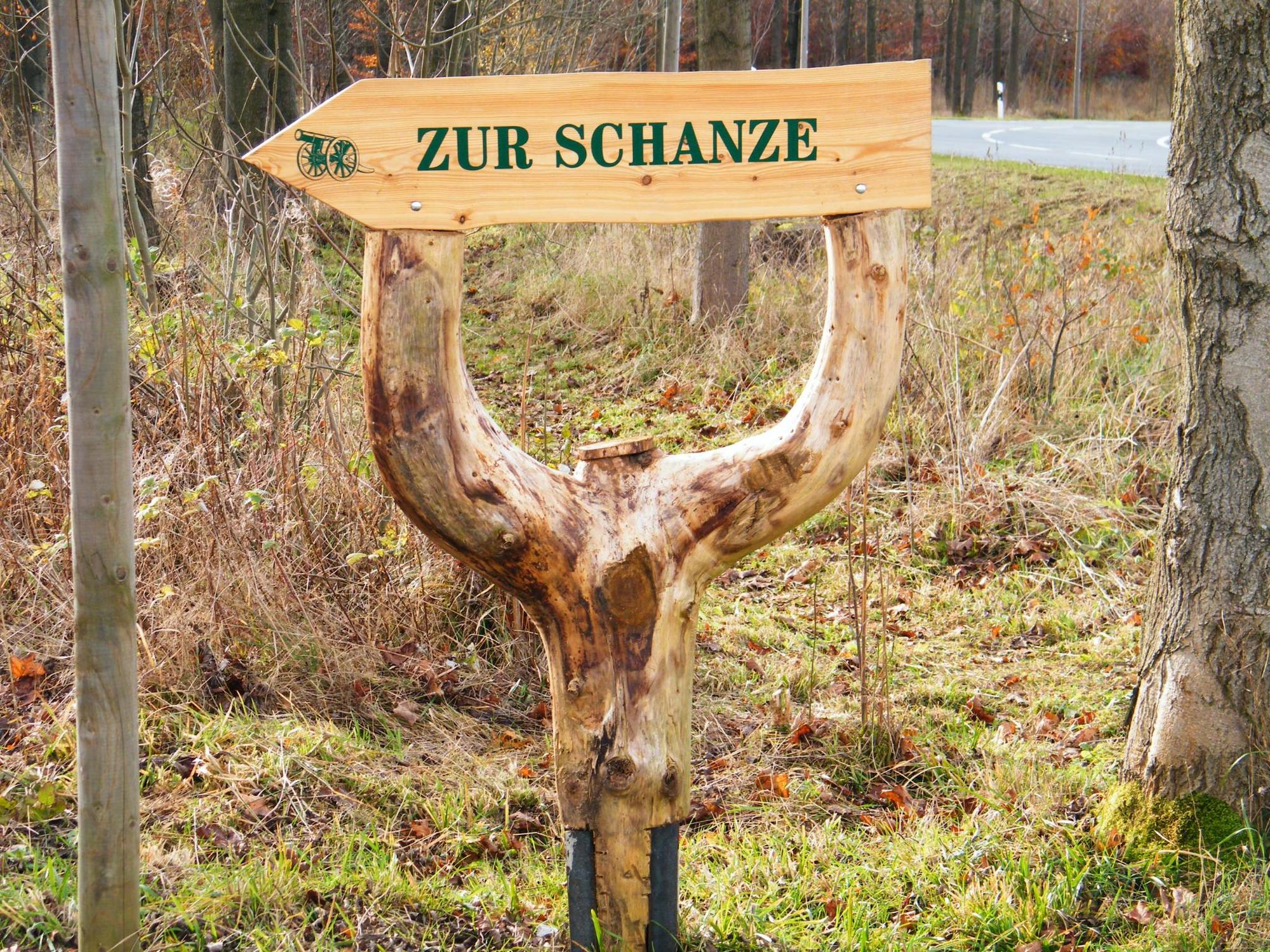
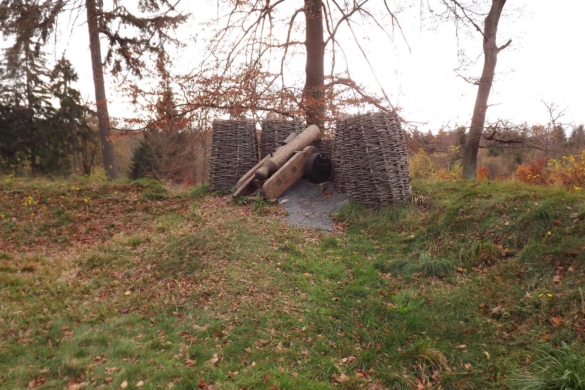
Eine 5,2 km lange Wanderung zum historischen Kanonenplatz mit Darstellung einer Schanzanlage aus dem 30-jährigen Krieg und weiterführender Tour zur Wüstung "Selkenfelde", ausgehend vom Harzort Stiege.
- Vaikeus
-
tapa
- Arviointi
-
- Reitti
-
StiegeHasselfall0,0 kmZur-Hilfe-Gottes-Kirche0,3 kmKanonenplatz4,3 km
- Paras kausi
-
tammihelmimaalishuhtitoukokesäheinäelosyyslokamarrasjoulu
- Korkein kohta
- 539 m
- Kohde
-
Kanonenplatz bzw. Selkenfelde
- Korkeusprofiili
-
 © outdooractive.com

-

-
KirjoittajaKiertue Wanderung von Stiege zum Kanonenplatz käyttää outdooractive.com toimitettu.
GPS Downloads


Yleistä tietoa
Kulttuuri/Historiallinen
Lisää retkiä alueilla
-
Der Harz/ Sachsen-Anhalt
864
-
Bodetal
618
-
Stiege
201