© CVG Bad Elster, M. Reinhardt

© Archiv Osterpfad Vogtland / Jan Bräuer

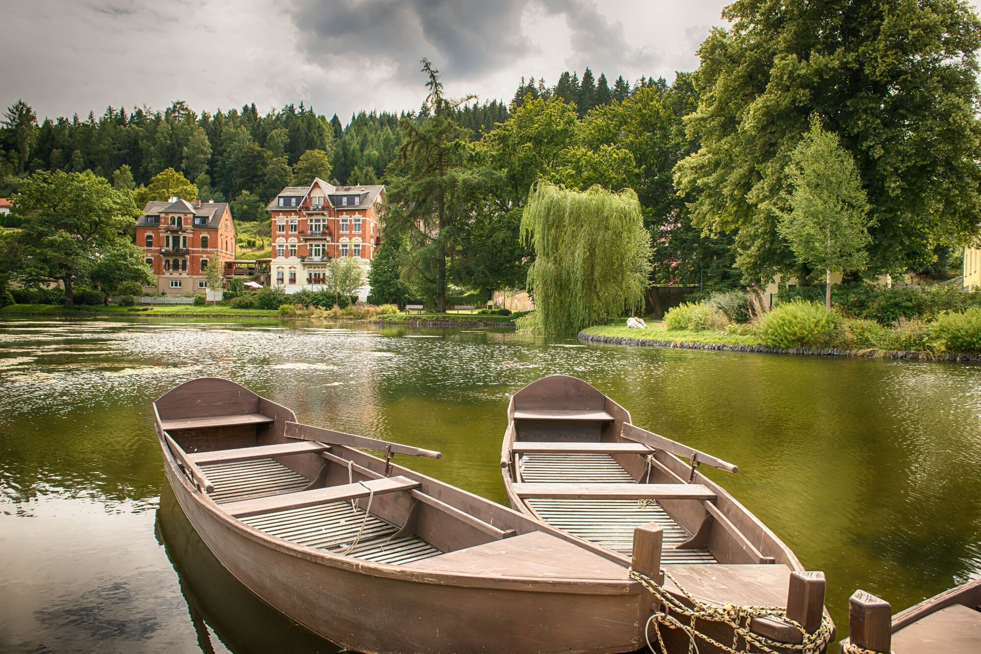
© CVG Bad Elster, M. Reinhardt

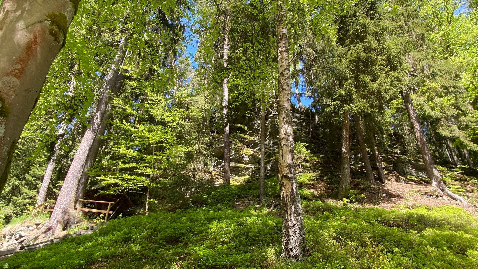
© CVG Bad Elster, M. Reinhardt

© CVG Bad Elster, M. Reinhardt

- Lyhyt kuvaus
-
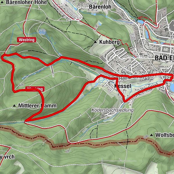
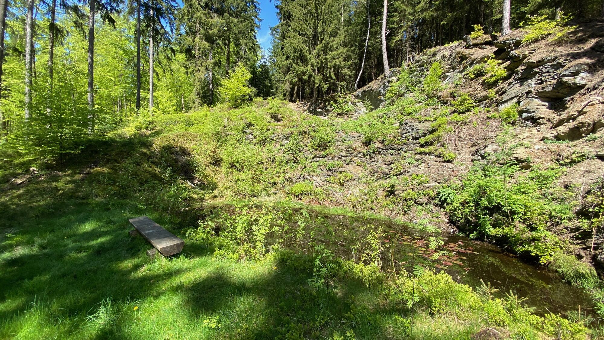
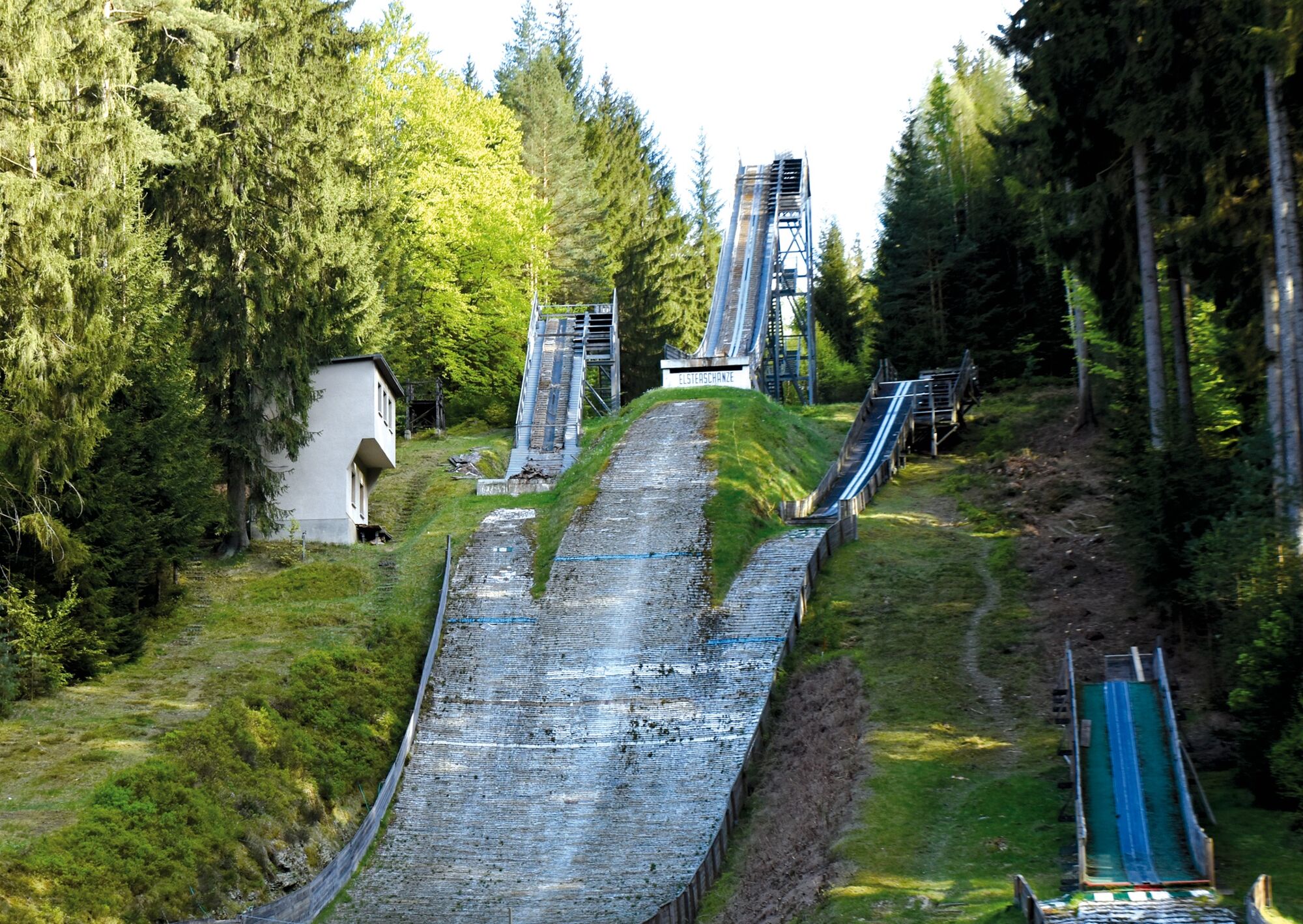
Diese Runde im Terrainkurwegenetz zeigt Bad Elster von einer neuen Seite - mit altem Dorfkern, kleinen Gebirgsbächen und Skisprungschanzen.
- Vaikeus
-
tapa
- Arviointi
-
- Reitti
-
Bad Elster0,0 kmKessel0,6 kmKessel6,5 kmBad Elster7,6 km
- Paras kausi
-
tammihelmimaalishuhtitoukokesäheinäelosyyslokamarrasjoulu
- Korkein kohta
- 601 m
- Kohde
-
Rosengarten Bad Elster
- Korkeusprofiili
-
 © outdooractive.com

- Kirjoittaja
-
Kiertue Genusswandern in Bad Elster 6: Elsterschanze käyttää outdooractive.com toimitettu.
GPS Downloads


Yleistä tietoa
Virvokepysäkki
Kulttuuri/Historiallinen
Lisää retkiä alueilla
-
Vogtland / Sachsen
697
-
Bad Elster
82