


Retkitiedot
12,59km
648
- 1.019m
417hm
399hm
02:48h
- Lyhyt kuvaus
-
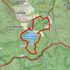
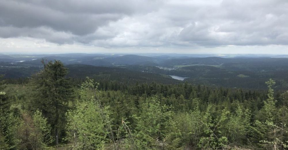
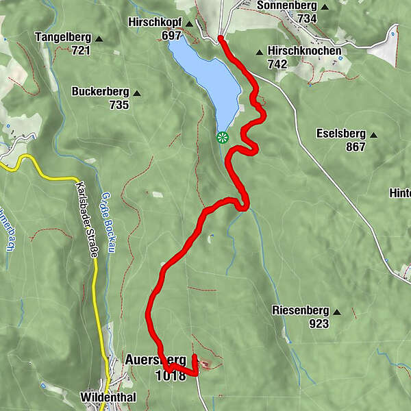
Talsperre Sosa - Auersberg - Talsperre Sosa
- Vaikeus
-
helppo
- Arviointi
-
- Lähtöpiste
-
Sosa Talsperre
- Reitti
-
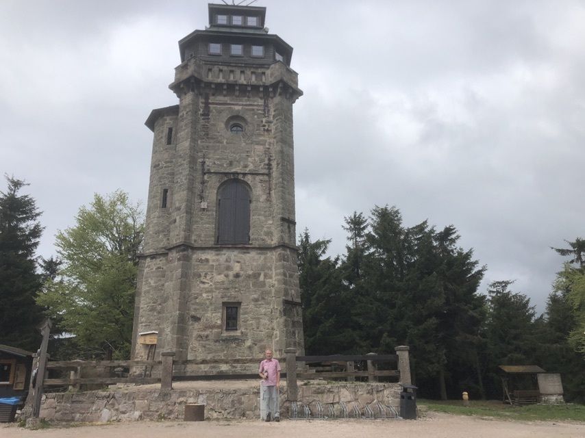
Meiler 20,1 kmBerggasthof Auersberg6,3 kmAuersberg (1.018 m)6,3 kmMeiler 212,3 km
- Korkein kohta
- 1.019 m
- Kohde
-
Sosa Talsperre
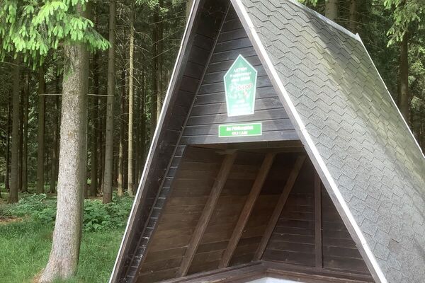
- Lepo/Retriitti
-
Auersberg, Sosa diverse
- Lähde
- H.L.
GPS Downloads


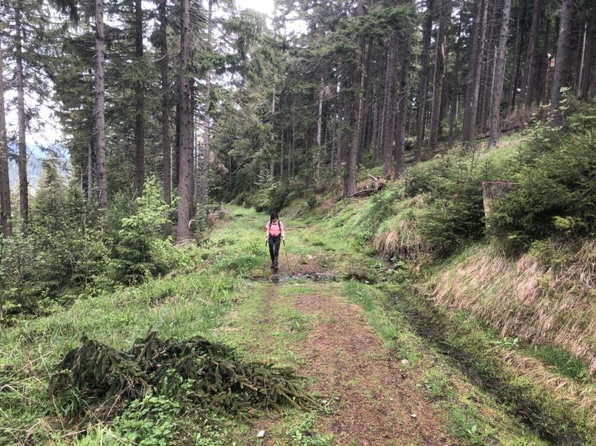
Polun olosuhteet
Asfaltti
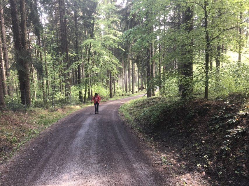
Sora
Niitty
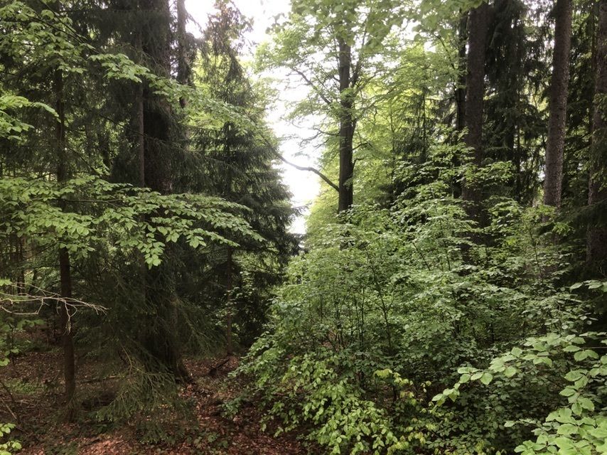
Metsä
Kallio
Altistettu
Lisää retkiä alueilla
-
Erzgebirge
873
-
Erzgebirge
407
-
Eibenstock
193