
- Lyhyt kuvaus
-
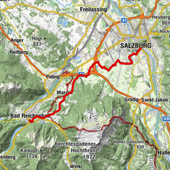
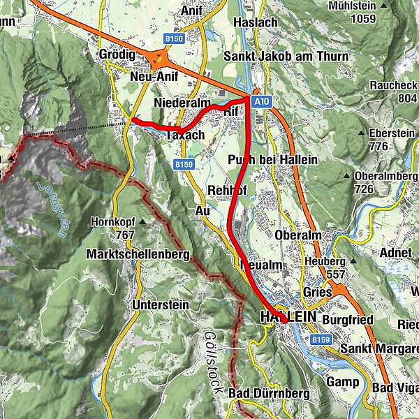
Dieser Abschnitt des Salzhandelsweges verläuft im ersten Abschnitt ausgehend von Hallein entlang des Tauernradweges bis nach Rif.
Am Rifer Spitz zweigt der Radweg linkerhand vom Tauernradweg ab und führt den Radfahrer bis ins Ortszentrum von St. Leonhard.
- Vaikeus
-
helppo
- Arviointi
-
- Reitti
-
HalleinAltstadt0,3 kmBürgerspitalskirche0,4 kmRehhof3,6 kmRifer Spitz5,9 kmRif6,4 kmNiederalm7,4 kmTaxach7,9 kmSankt Leonhard9,4 kmWallfahrtskirche St. Leonhard9,4 km
- Paras kausi
-
tammihelmimaalishuhtitoukokesäheinäelosyyslokamarrasjoulu
- Korkein kohta
- 452 m
- Kohde
-
Kirche St. Leonhard
- Korkeusprofiili
-

-

-
KirjoittajaKiertue Salzhandelsweg von Hallein nach St. Leonhard käyttää outdooractive.com toimitettu.
GPS Downloads


Yleistä tietoa
Virvokepysäkki
Kulttuuri/Historiallinen
Lupaava
Lisää retkiä alueilla