Hüttschlag: 2-days-hiking-tour from Hundegg to the Tappenkarsee


- Lyhyt kuvaus
-
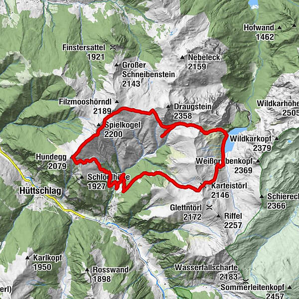
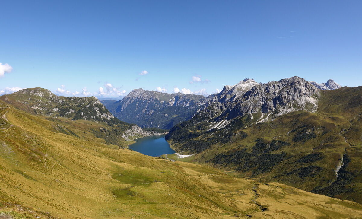
2-day-round trip from Hundegg to the Tappenkarsee, the largest mountain lake in the Eastern Alps.
- Vaikeus
-
tapa
- Arviointi
-
- Reitti
-
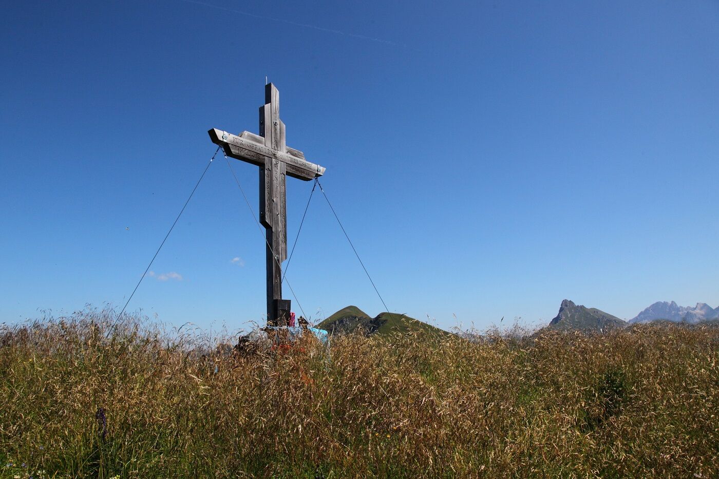
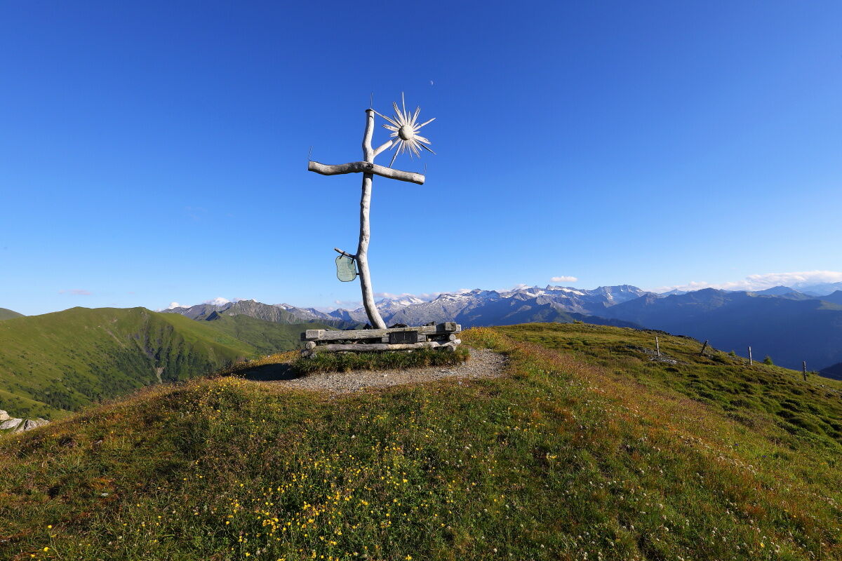
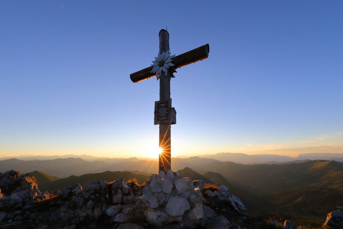
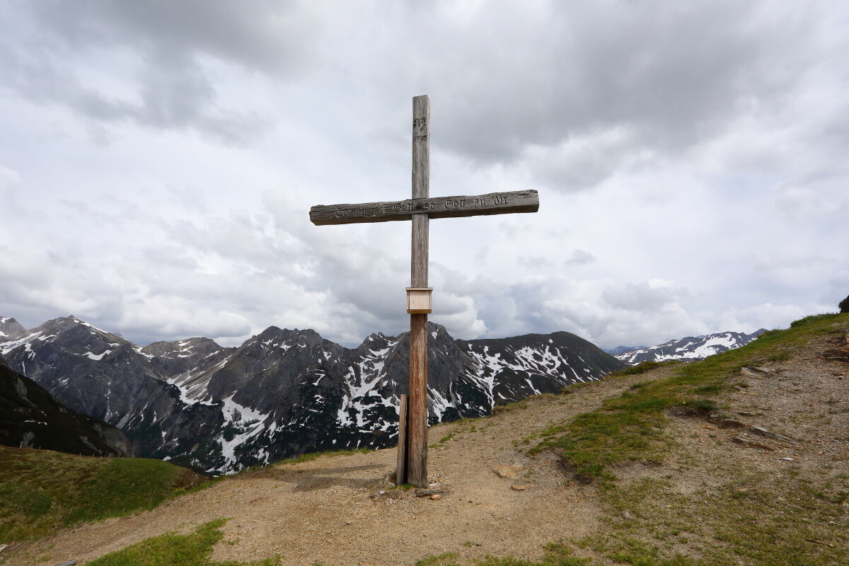
Hundegg (2.079 m)3,2 kmFilzmooshöhe (2.103 m)6,4 kmDraugsteinalm-Steinmannhütte8,7 kmDraugsteinalmen8,7 kmTappenkarsee Alm11,6 kmTappenkarseehütte12,7 kmKarteistörl (2.146 m)14,1 km
- Paras kausi
-
tammihelmimaalishuhtitoukokesäheinäelosyyslokamarrasjoulu
- Korkein kohta
- 2.128 m
- Kohde
-
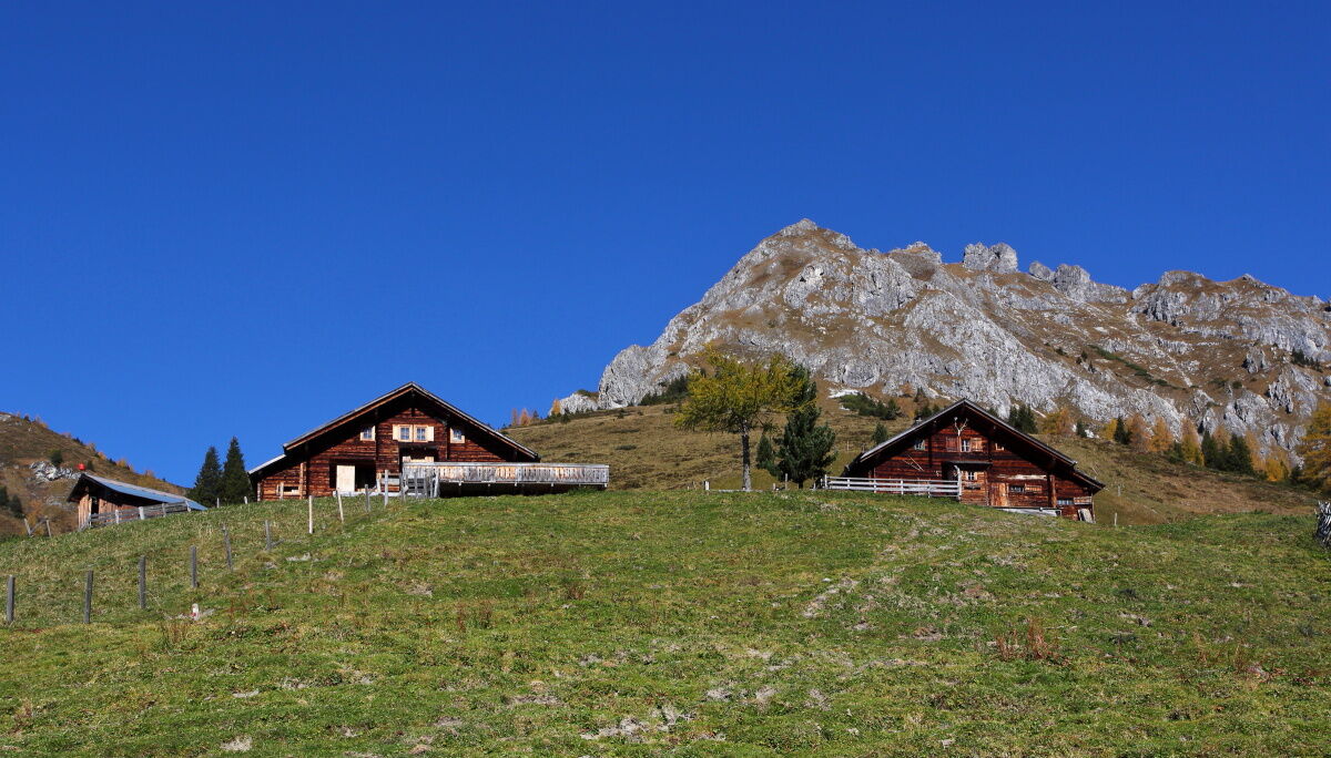
Hüttschlag - Hallmoosalm
- Korkeusprofiili
-

- Kirjoittaja
-
Kiertue Hüttschlag: 2-days-hiking-tour from Hundegg to the Tappenkarsee käyttää outdooractive.com toimitettu.
GPS Downloads


Yleistä tietoa
Virvokepysäkki
Sisäpiirin vinkki
Fauna
Lupaava
Lisää retkiä alueilla
-
Katschberg Lieser-Maltatal
2574
-
Großarltal
2171
-
Hüttschlag
852