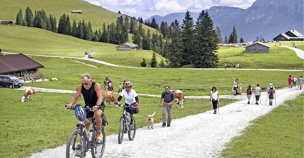
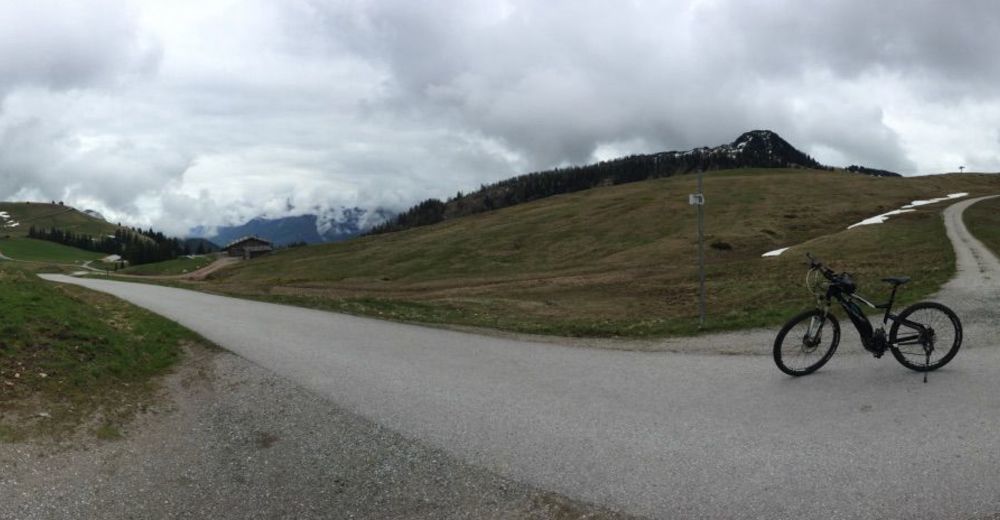
© BIKE | Delius Klasing Verlag - Wolfgang Watzke
© BIKE | Delius Klasing Verlag - Wolfgang Watzke
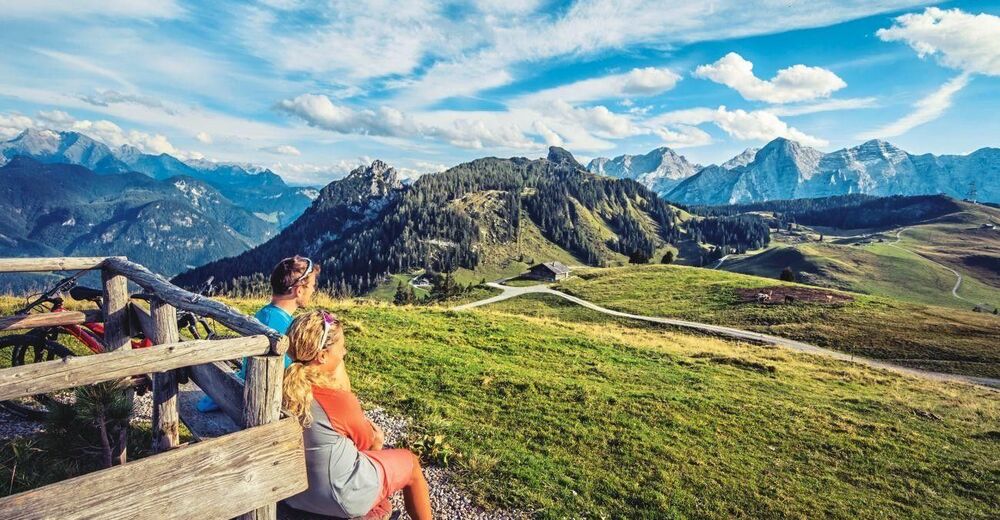
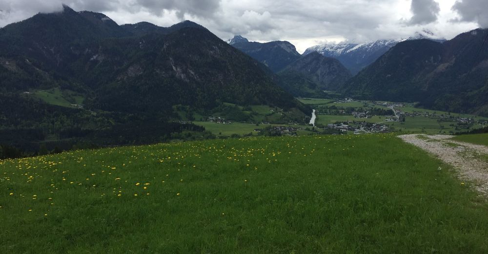
© Almenwelt Lofer
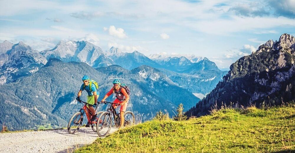
© Almenwelt Lofer

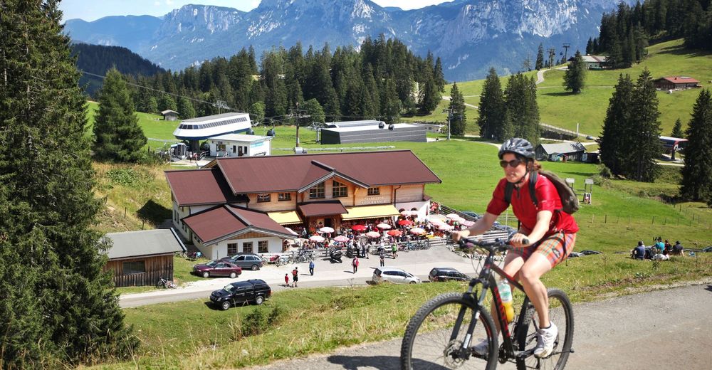
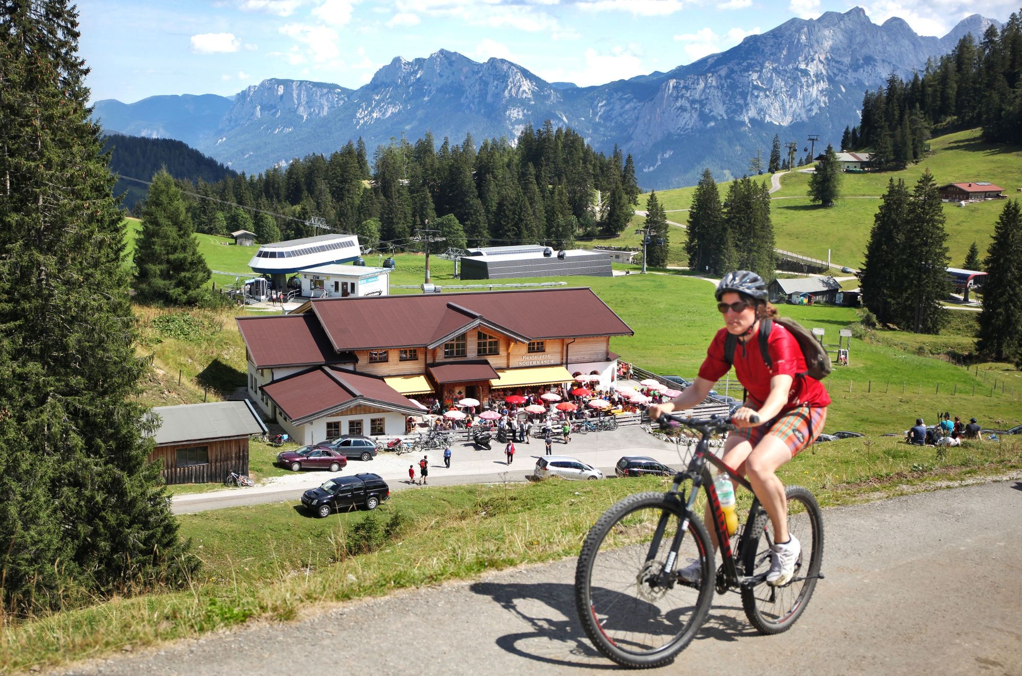
© Community - emanuel adei
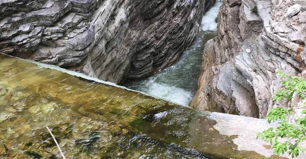
© Community - emanuel adei
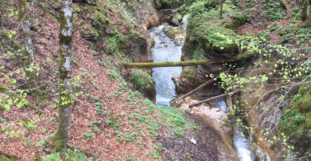
© Community - emanuel adei
© Community
- Lyhyt kuvaus
-
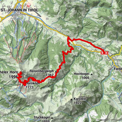
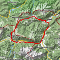
This beautiful bike tour leads from Lofer via Unken and the Unkenbachtal valley to the Almenwelt Lofer.
- Vaikeus
-
tapa
- Arviointi
-
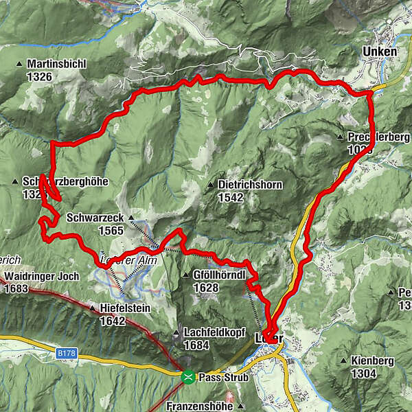
- Reitti
-
Pfarrkirche Hll Maria und Leonhard0,1 kmLofer0,2 kmKreuzkirche Lofer0,3 kmBairau1,0 kmMaurach2,4 kmHallenstein4,1 kmKniepass (554 m)6,1 kmUnkenboden8,6 kmFriedlwirt10,6 kmLochtretalm18,9 kmSkihütte Restaurant Almtreff24,9 kmSkihütte Schönblick26,0 kmSteger Kaserei26,2 kmFamily Express26,4 kmLoderbichl29,5 kmFaistau31,2 kmBischofsquelle31,8 kmPfarrkirche Hll Maria und Leonhard32,6 kmLofer32,6 km
- Paras kausi
-
tammihelmimaalishuhtitoukokesäheinäelosyyslokamarrasjoulu
- Korkein kohta
- 1.454 m
- Kohde
-
Lofer tourist information office
- Korkeusprofiili
-


-

-
KirjoittajaKiertue Almenwelt Lofer Tour käyttää outdooractive.com toimitettu.
GPS Downloads


Yleistä tietoa
Virvokepysäkki
Lupaava
Lisää retkiä alueilla