© Tourismusverband Abtenau - Tourismusverband Russbach

© Tourismusverband Abtenau - Tourismusverband Russbach

© Tourismusverband Abtenau - Tourismusverband Russbach


© Hotel Königgut - Christine Bauernhansl

© Hotel Königgut - Christine Bauernhansl

© Unbekannt


- Lyhyt kuvaus
-
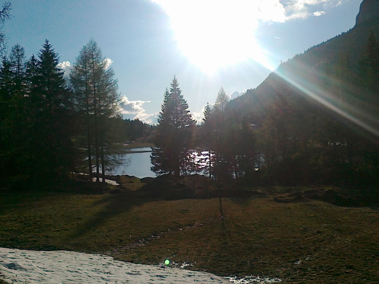
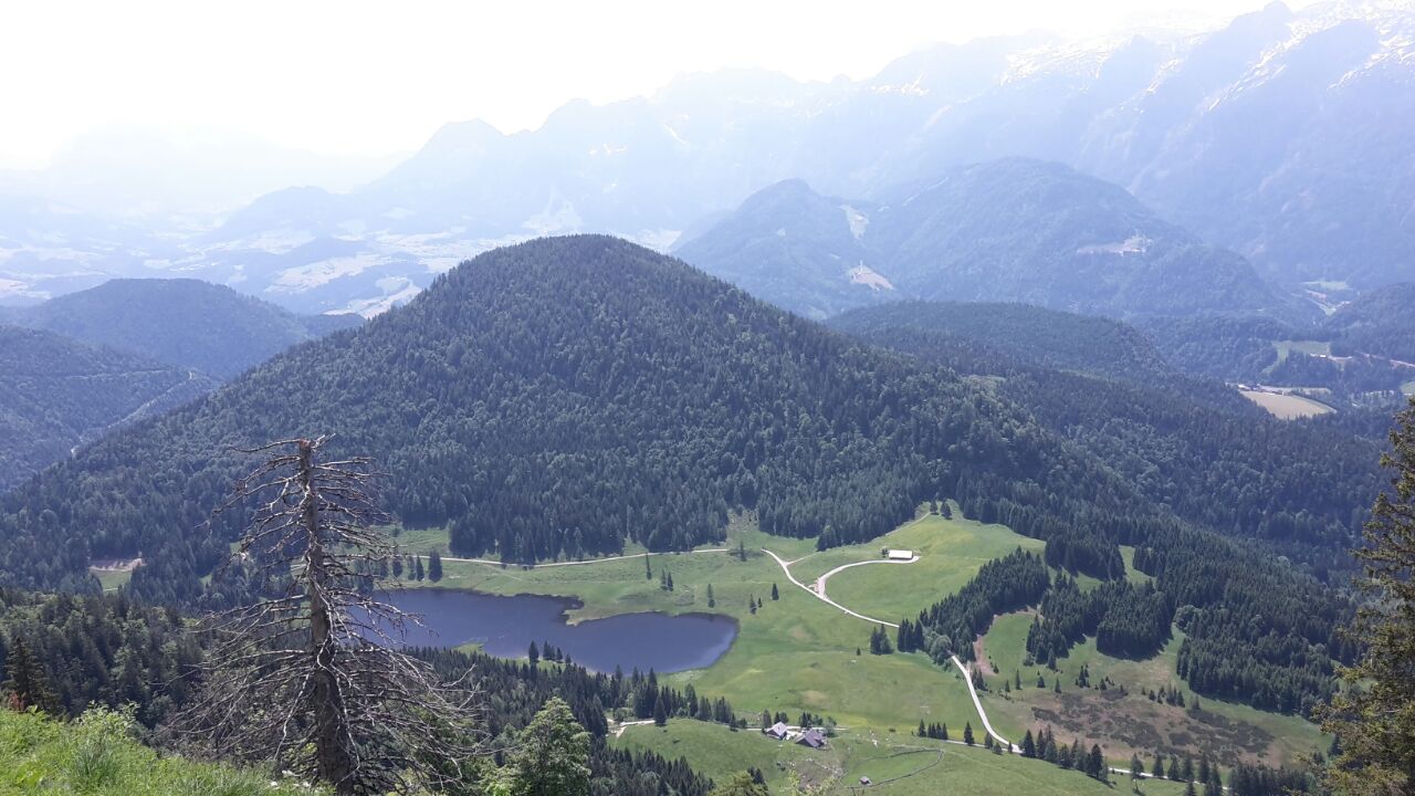
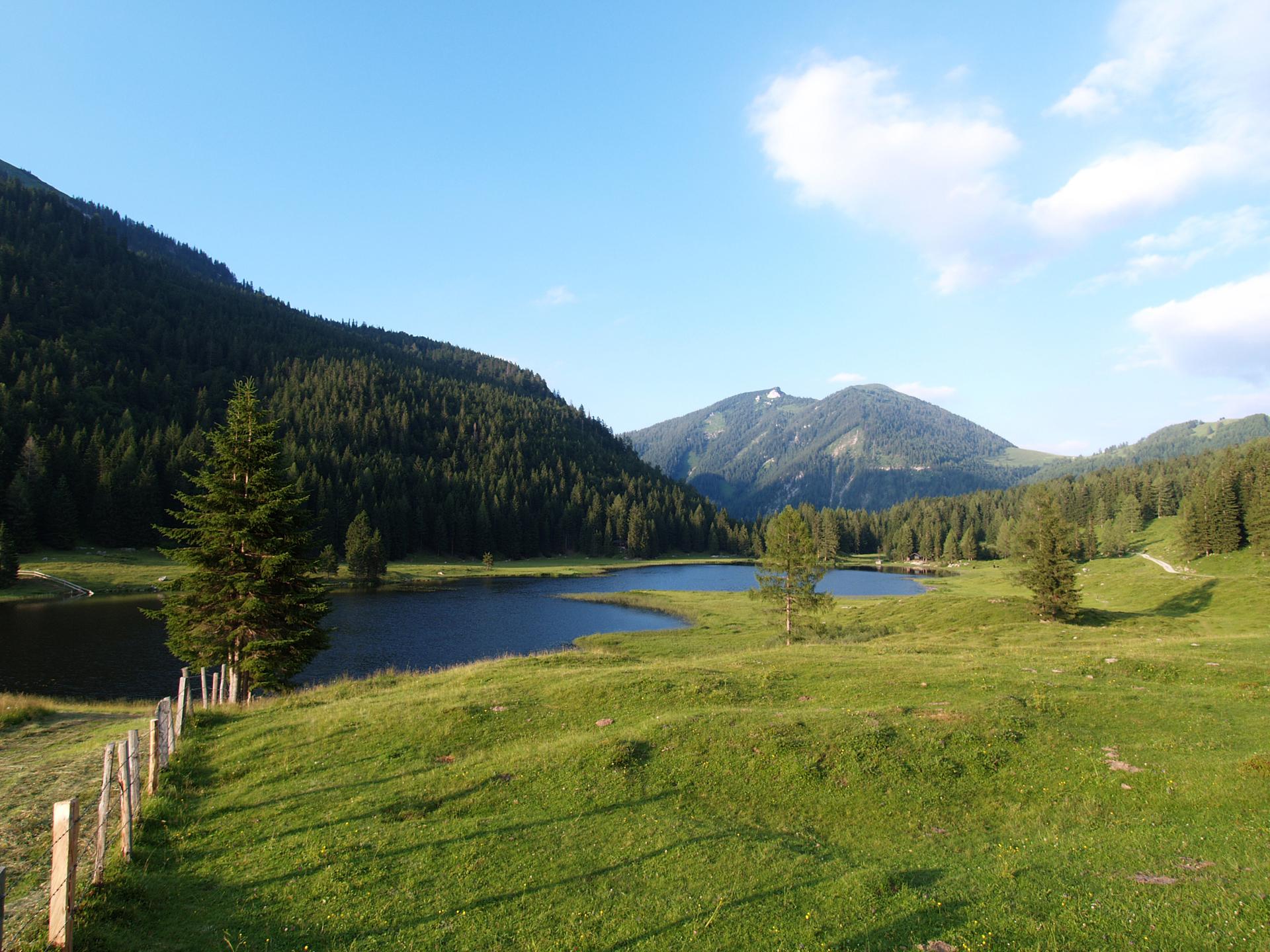
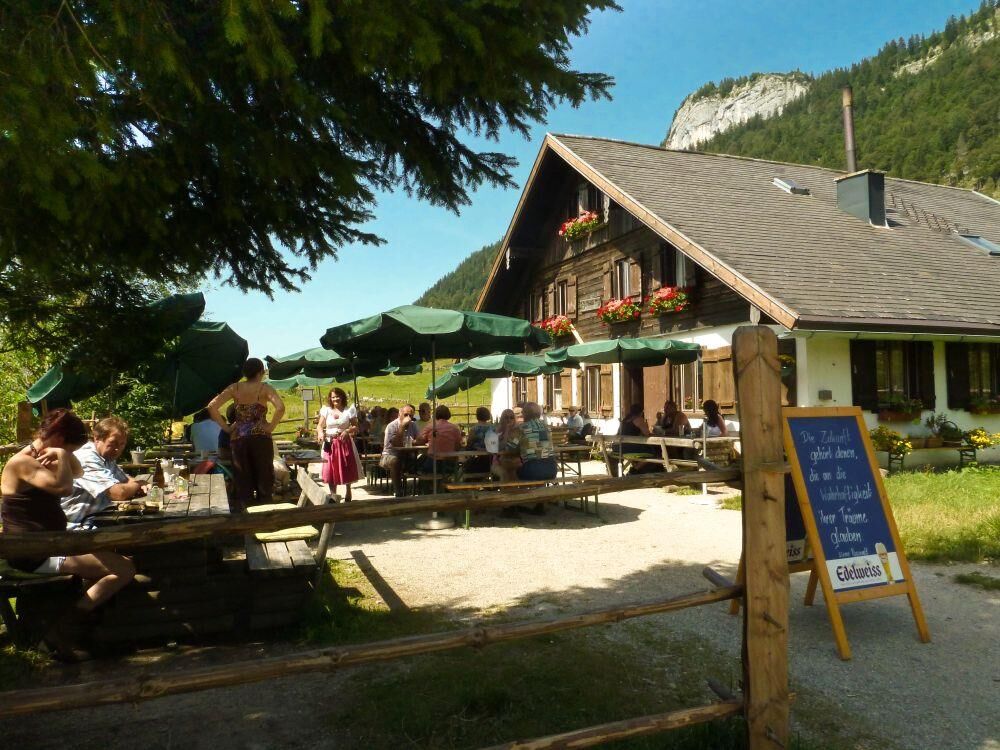
A very beautiful mountain bike tour with a feel-good factor at one of the power spots at the Seewaldsee.
- Vaikeus
-
tapa
- Arviointi
-
- Reitti
-
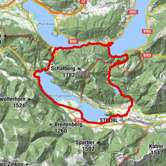
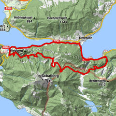
Voglau0,1 kmPichl0,2 kmPichlhöhe (623 m)1,3 kmAubachwasserfall1,3 kmAuerhütte9,6 kmWeitenau14,6 kmAubachwasserfall19,0 kmPichlhöhe (623 m)19,0 kmPichl20,1 kmVoglau20,2 km
- Paras kausi
-
tammihelmimaalishuhtitoukokesäheinäelosyyslokamarrasjoulu
- Korkein kohta
- 1.103 m
- Kohde
-
Abtenau-district Voglau, Voglauerhof
- Korkeusprofiili
-


-

-
KirjoittajaKiertue TG17 Seewaldsee-round käyttää outdooractive.com toimitettu.
GPS Downloads


Yleistä tietoa
Virvokepysäkki
Sisäpiirin vinkki
Flora
Lupaava
Lisää retkiä alueilla
, Anfang")


 - Blick nach St. Wolfgang und St. Gilgen")