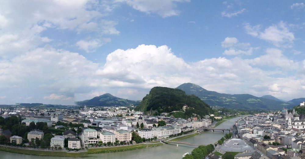
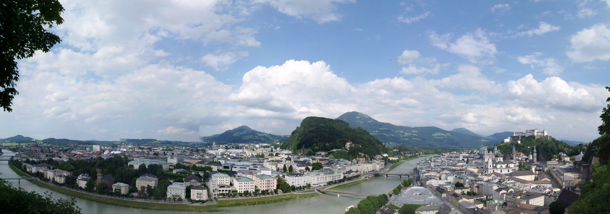
Stadt Salzburg: über Festungsberg und Mönchsberg ( Panorama )

Mountainbike
Retkitiedot
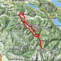
7,43km
415
- 511m
167hm
168hm
01:30h
- Lyhyt kuvaus
-
beautiful scenic and bird-eye views from City-Mountains on Historical Center
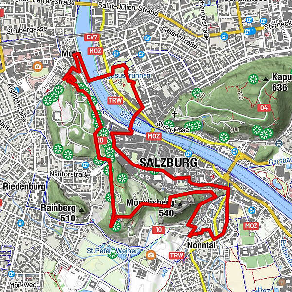
Nonnberg - Festungsberg - Mönchsberg - Mirabellgarten - Historical Center - Vaikeus
-
helppo
- Arviointi
-
- Reitti
-
NonntalSt. Erhardkirche0,2 kmStiftskirche Nonnberg0,4 kmFestungsberg (548 m)0,9 kmRichterhöhe (505 m)1,5 kmKarolinenhöhe (508 m)1,9 kmMarkuskirche2,6 kmMülln3,3 kmMüllner Kirche3,5 kmFriedhofkapelle Mülln3,5 kmLeprosenhauskirche3,5 kmByzantinisches Gebetszentrum Salzburg3,6 kmHouse of prayer (HOP) Salzburg3,8 kmRosenhügel4,4 kmZauberflötenspielplatz4,6 kmAnlegestelle Makartsteg5,0 kmSt. Blasiuskirche5,3 kmSacellum5,5 kmFranziskaner Kirche5,7 kmSalzburg Cathedral5,9 kmSalzburg (424 m)6,0 kmKajetanerkirche6,4 kmNonntal6,9 km
- Paras kausi
-
tammihelmimaalishuhtitoukokesäheinäelosyyslokamarrasjoulu
- Korkein kohta
- 511 m
- Lähde
- Xxlstier
GPS Downloads


Ajoreitit
Asfaltti
(100%)
Sora
Metsä
Vuoripolut
Singletrails
Trial
Liikenne
Lisää retkiä alueilla