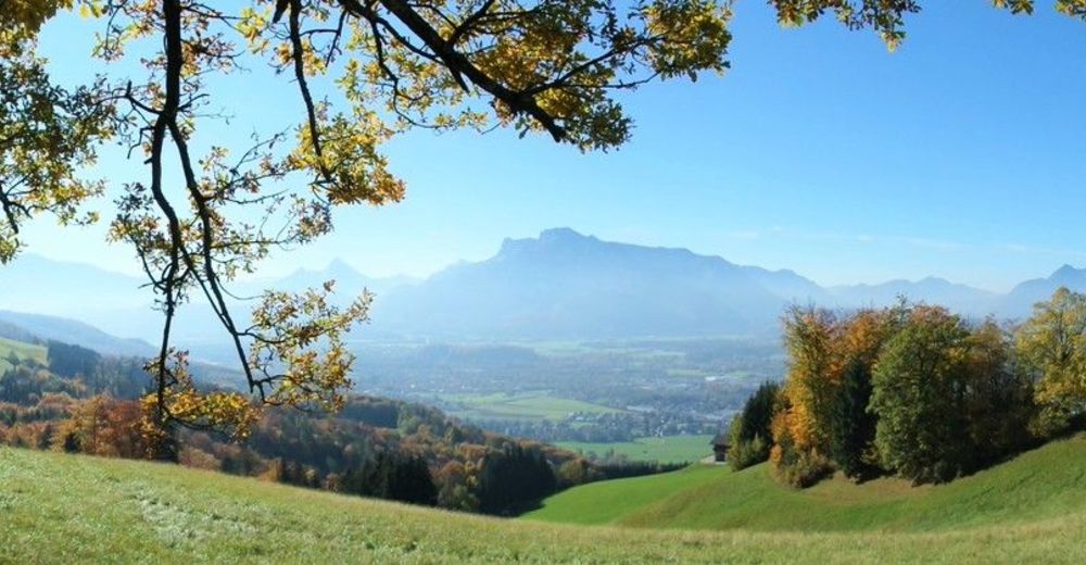
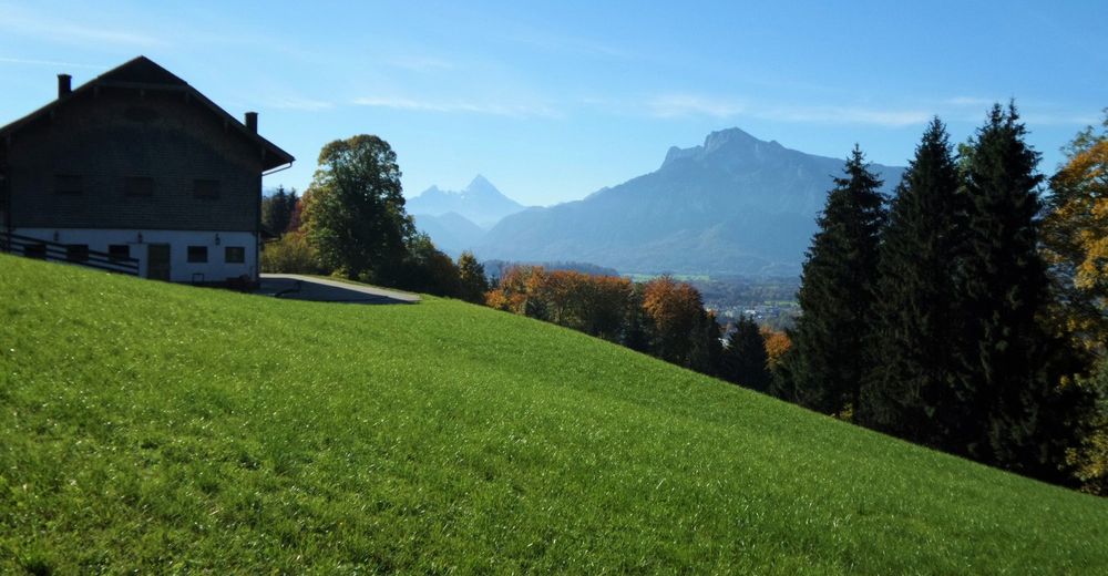
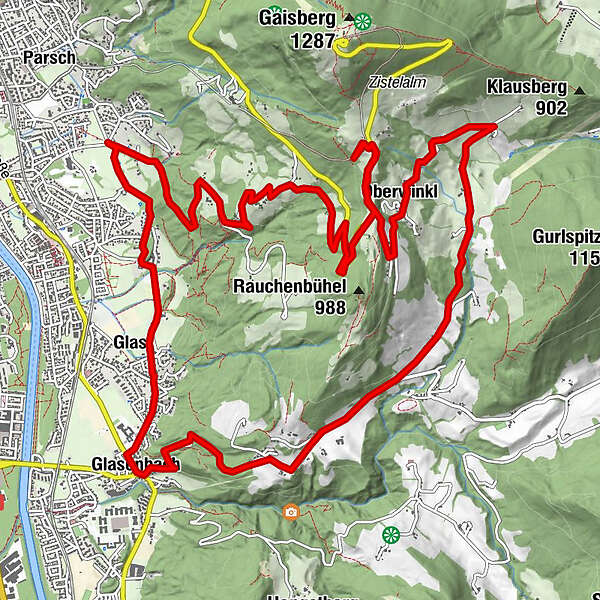
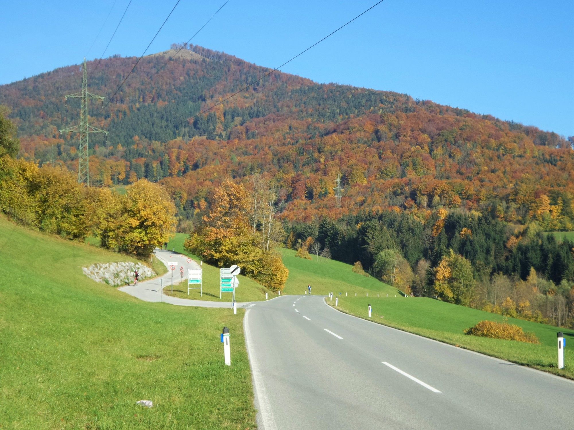
Gaisberg Zistelam : über Gänsbrunnstraße ( Panorama ) - Oberwinkl - Vorderfager

Mountainbike
Retkitiedot
18,1km
431
- 1.001m
584hm
584hm
05:00h
- Lyhyt kuvaus
-
MTB: Gaisberg Zistelam: Gänsbrunnstraße ( Panorama ) - Oberwinkl - Vorderfager - Glasenbach
- Vaikeus
-
vaikea
- Arviointi
-
- Lähtöpiste
-
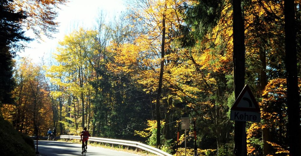
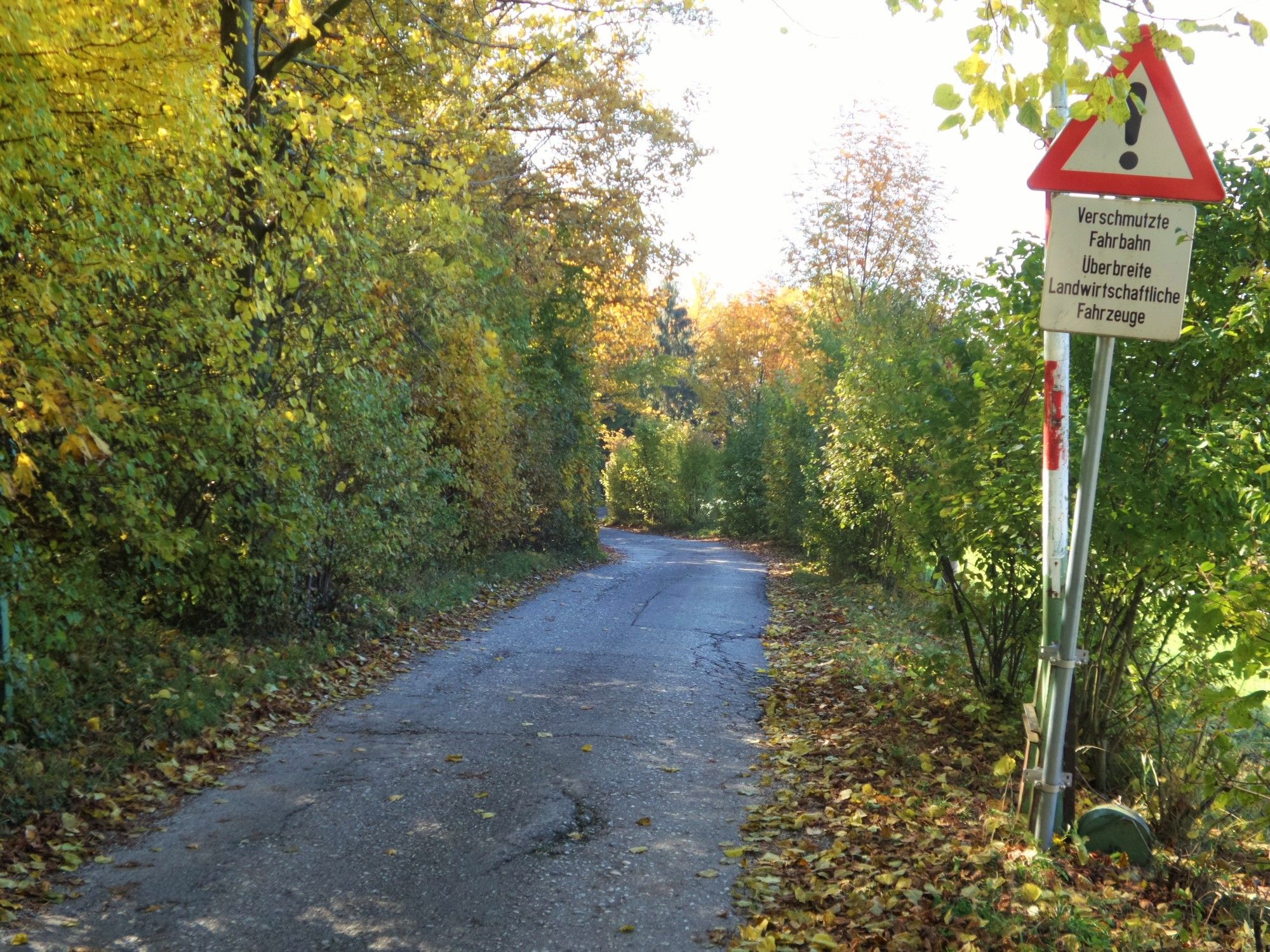
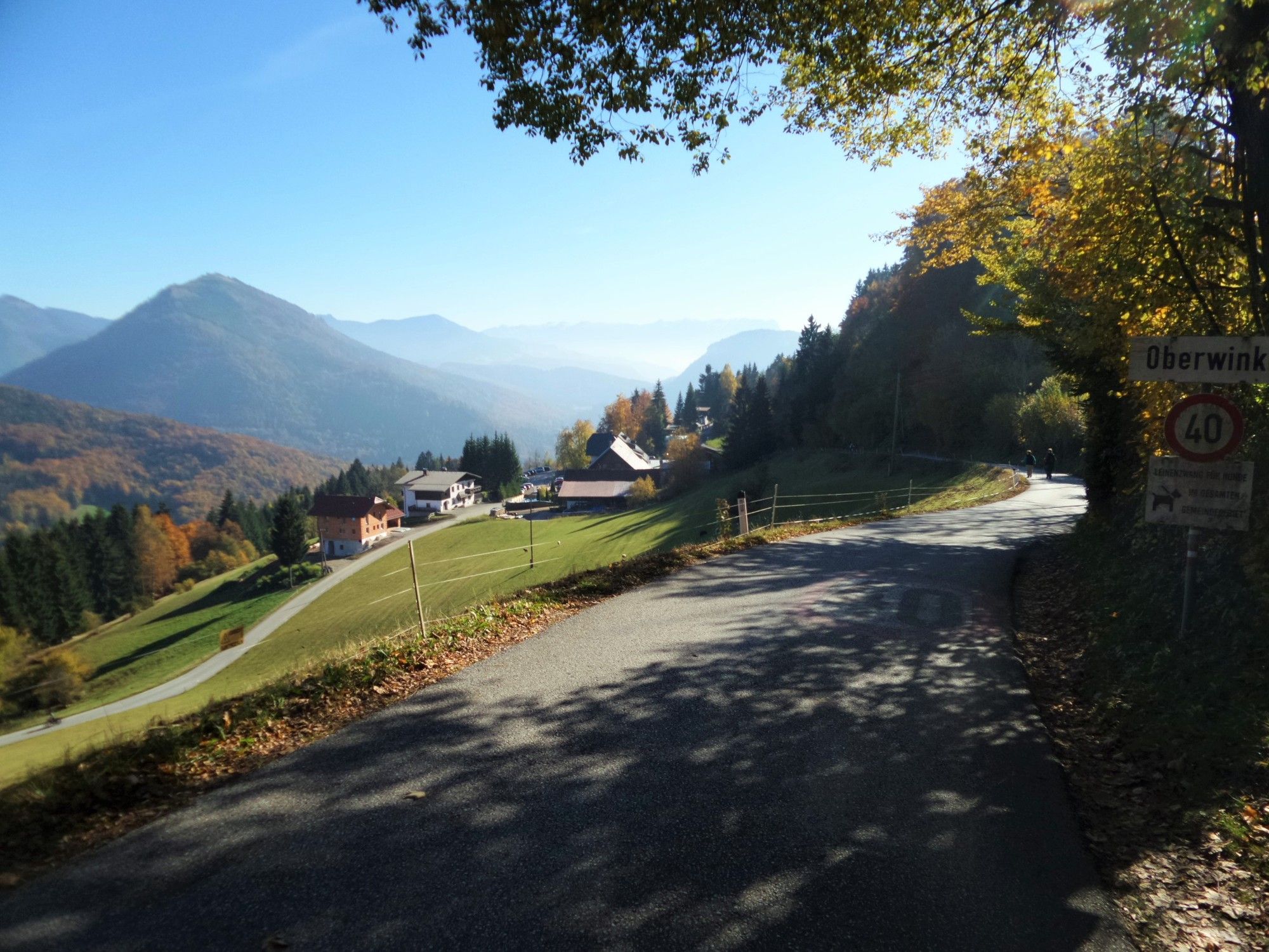
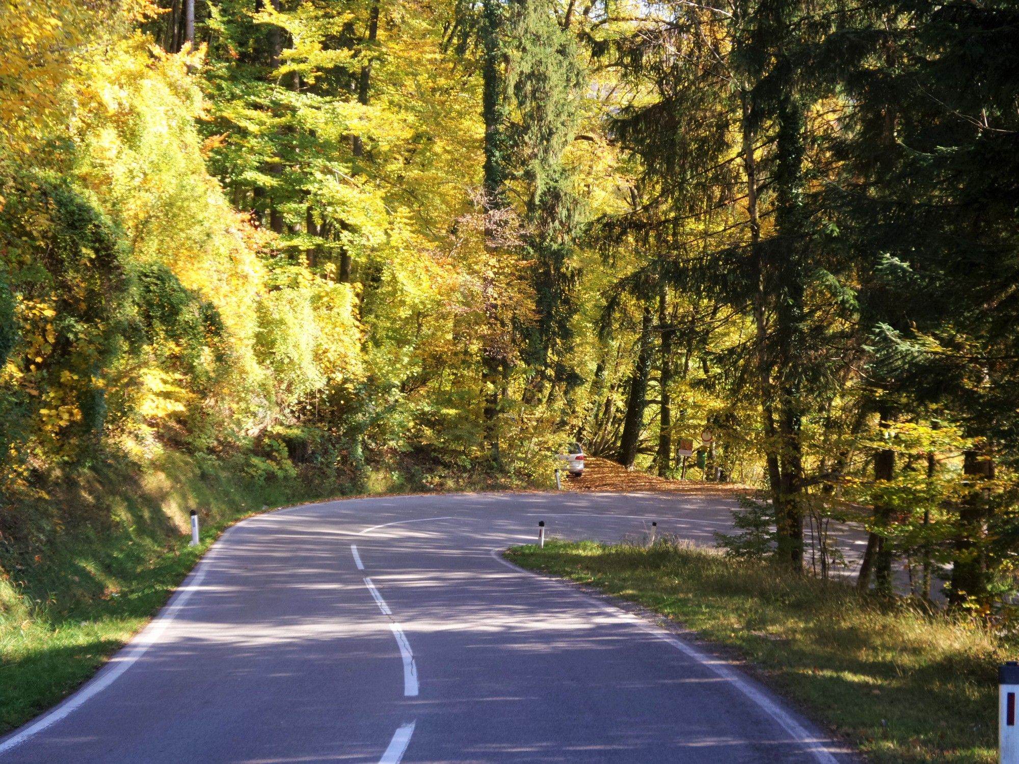
Gänsbrunnstraße
- Reitti
-
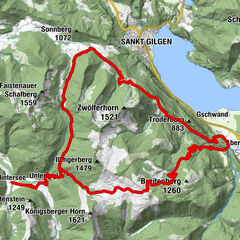
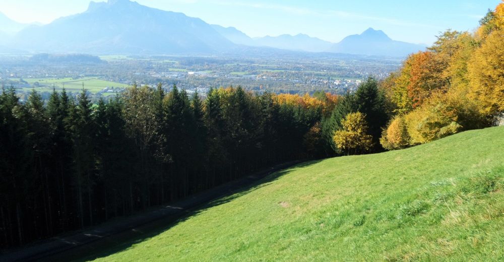
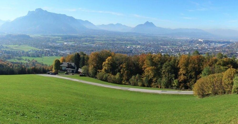
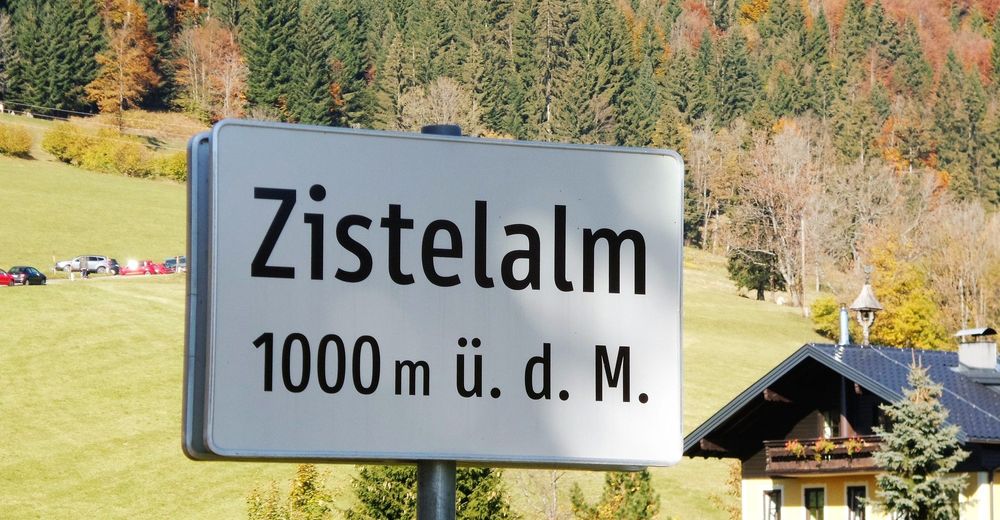
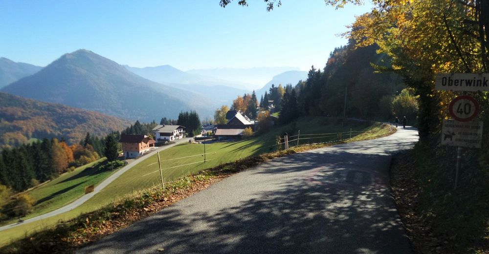
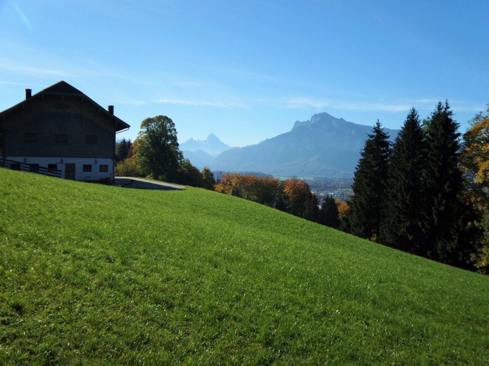
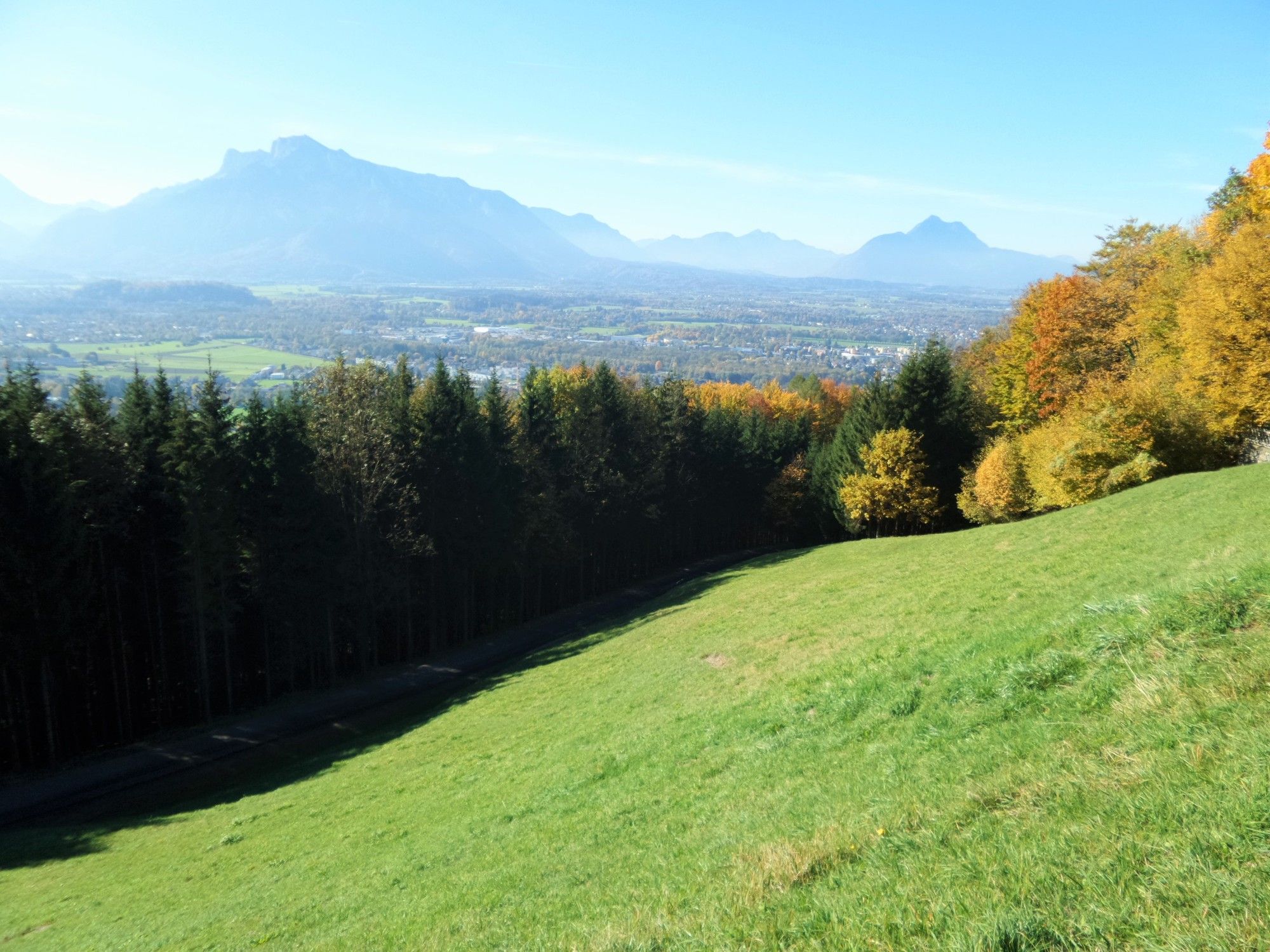
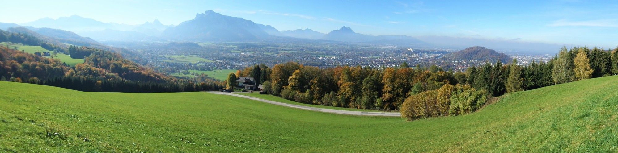
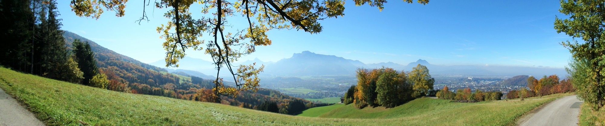
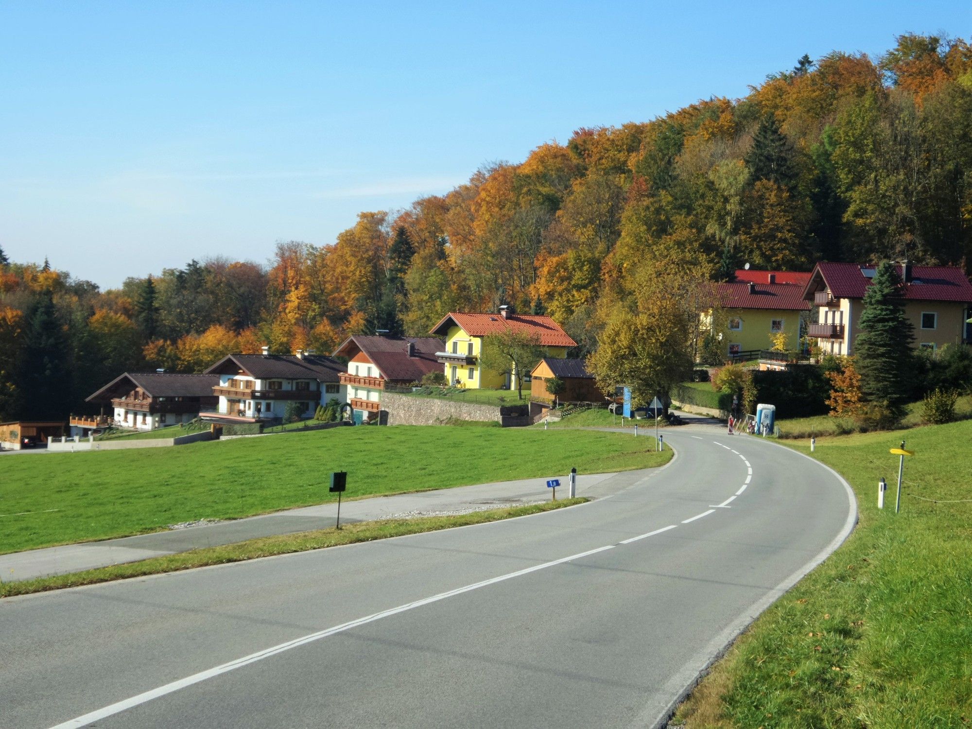
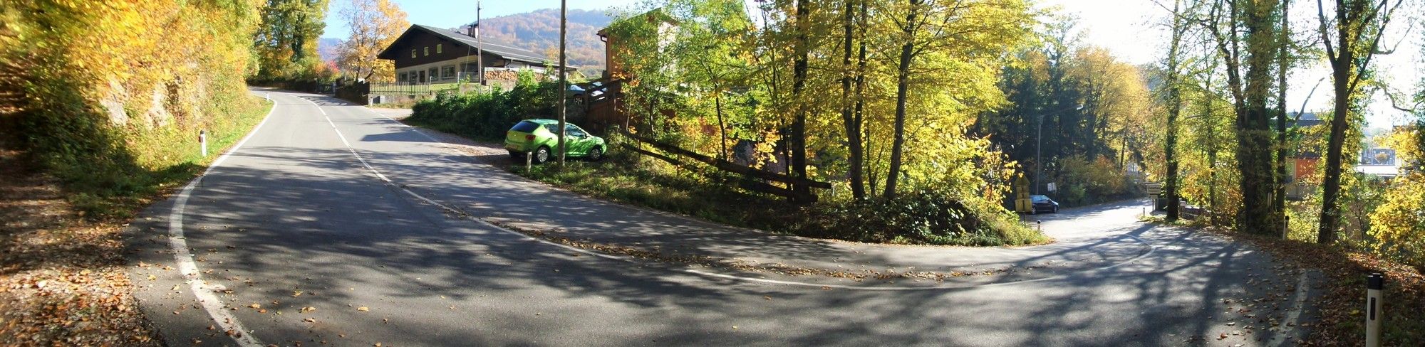
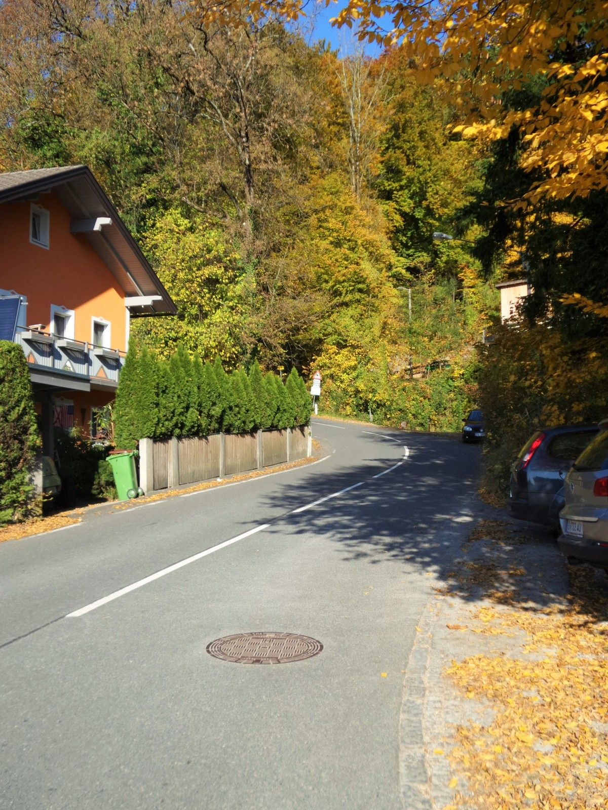
Salzburg (424 m)Zistelalm5,8 kmZistelalm6,3 kmAlpengasthof Mitteregg7,5 kmOberwinkl7,9 kmVorderfager11,9 kmPizzaservice Rassanti14,7 kmGlasenbach14,8 kmGlas15,9 kmGasthof Schloss Aigen16,8 kmPfarrkirche Aigen16,9 kmAigen17,6 kmSalzburg (424 m)18,0 km
- Paras kausi
-
tammihelmimaalishuhtitoukokesäheinäelosyyslokamarrasjoulu
- Korkein kohta
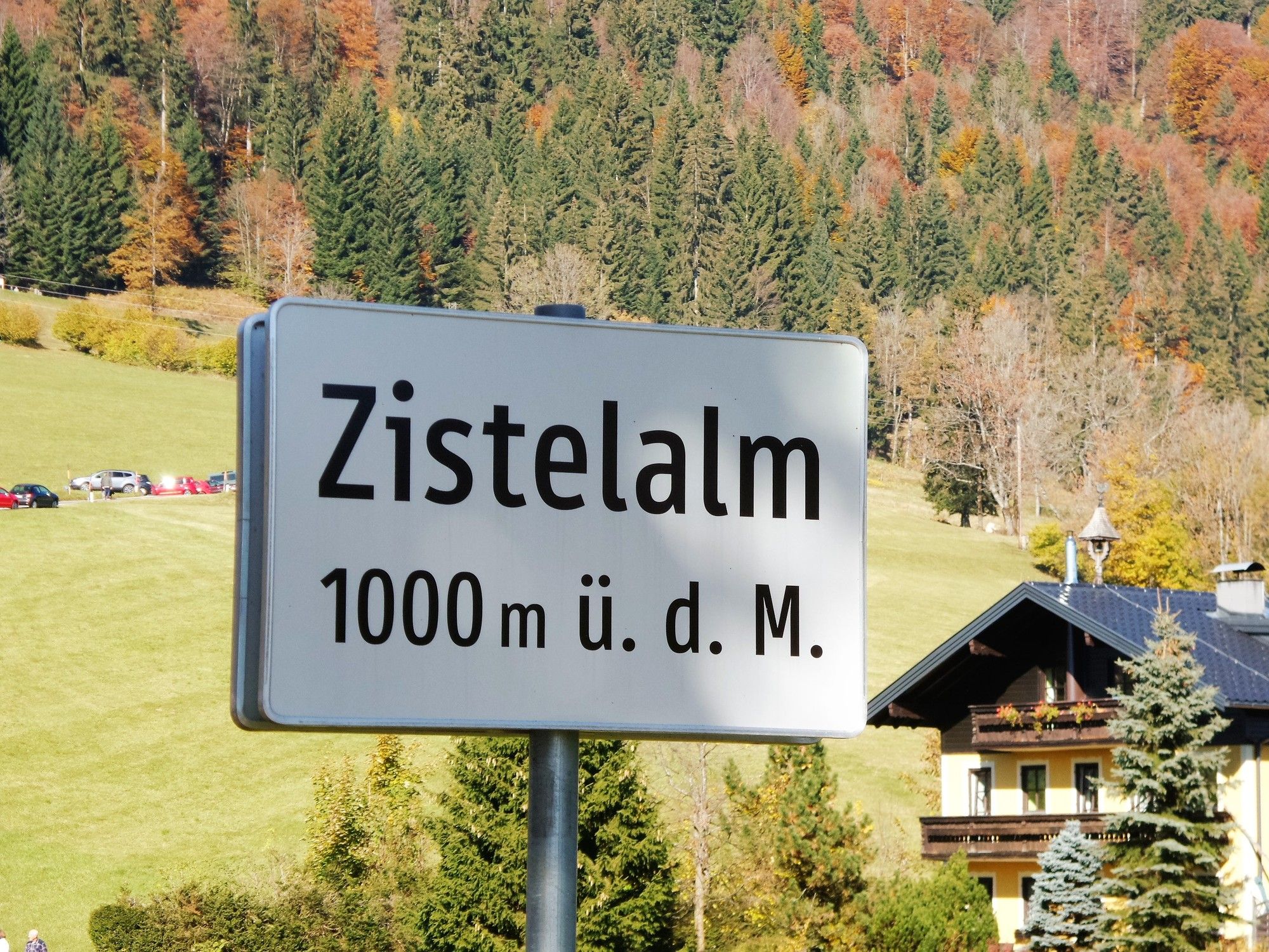
- Zistelalm (1.001 m)
- Kohde
-
Gaisberg - Zistelalm
- Lepo/Retriitti
-
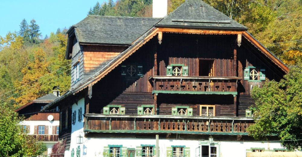
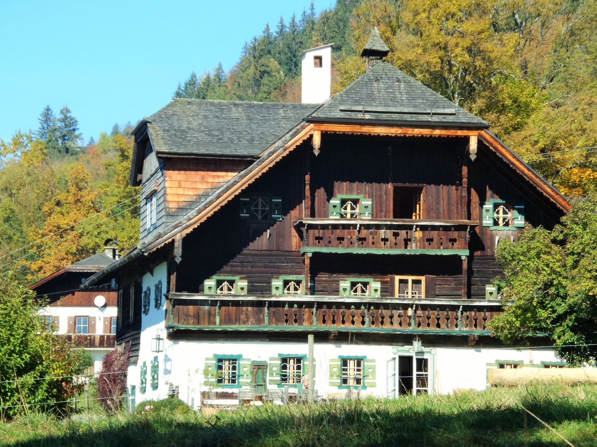
Gasthof "Zur Zistelalm"
Gasthof "Mitteregg" - Kirjallisuus
- Lähde
- Xxlstier
GPS Downloads


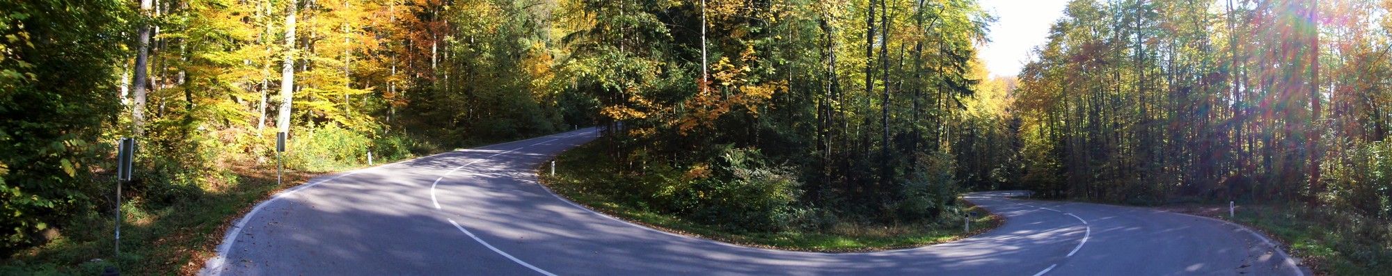
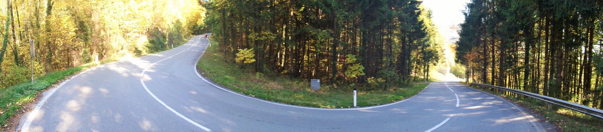
Ajoreitit
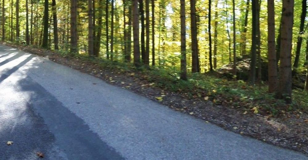
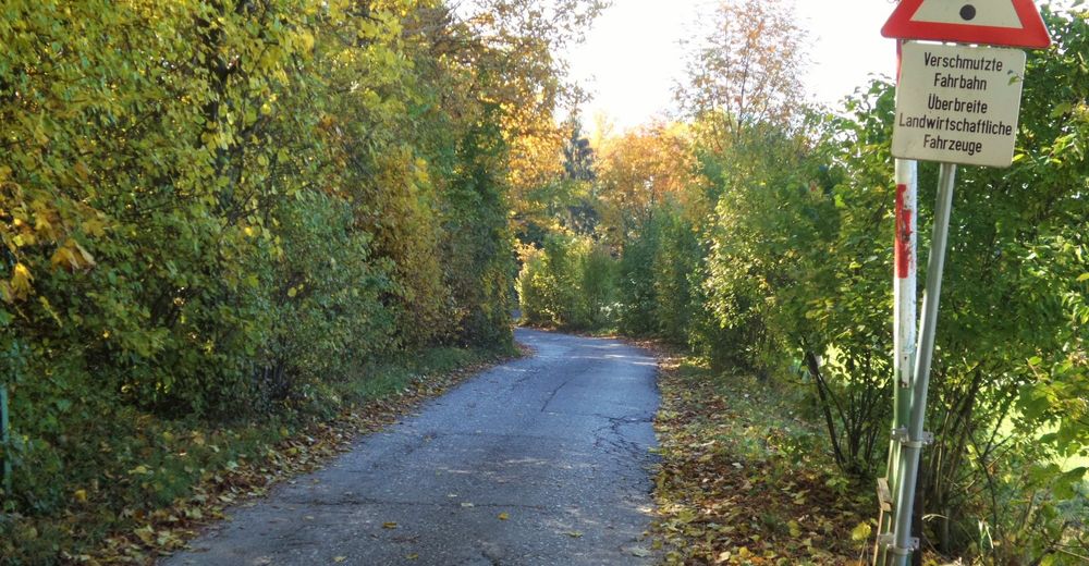
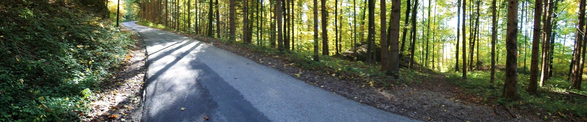
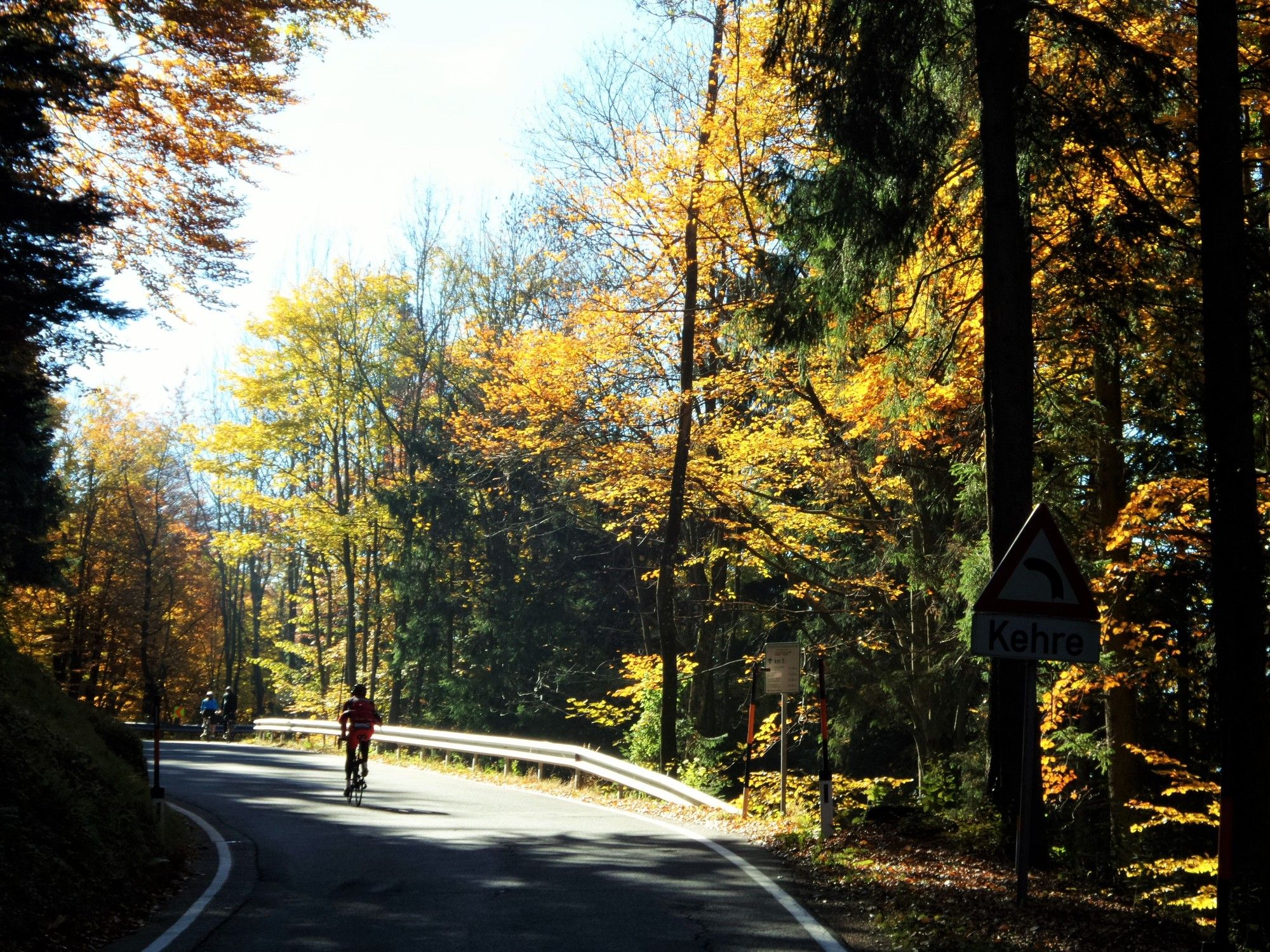
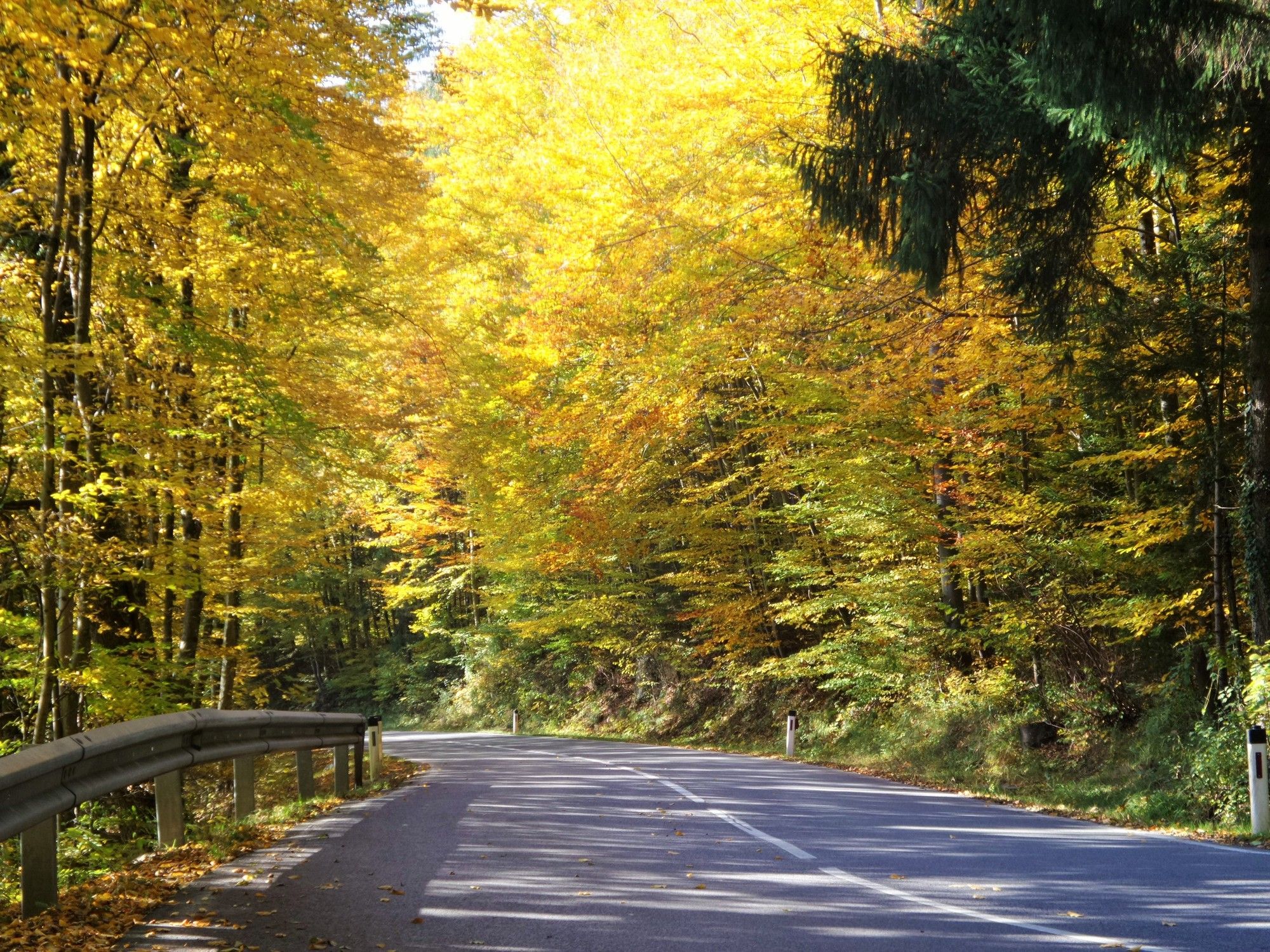
Asfaltti
(98%)
Sora
(2 %)
Metsä
Vuoripolut
Singletrails
Trial
Liikenne
(30%)
Lisää retkiä alueilla