- Lyhyt kuvaus
-
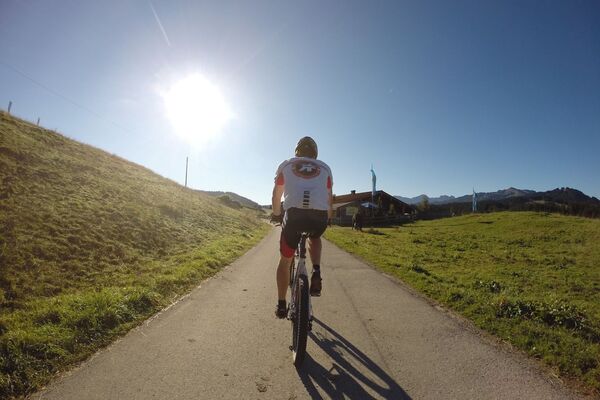
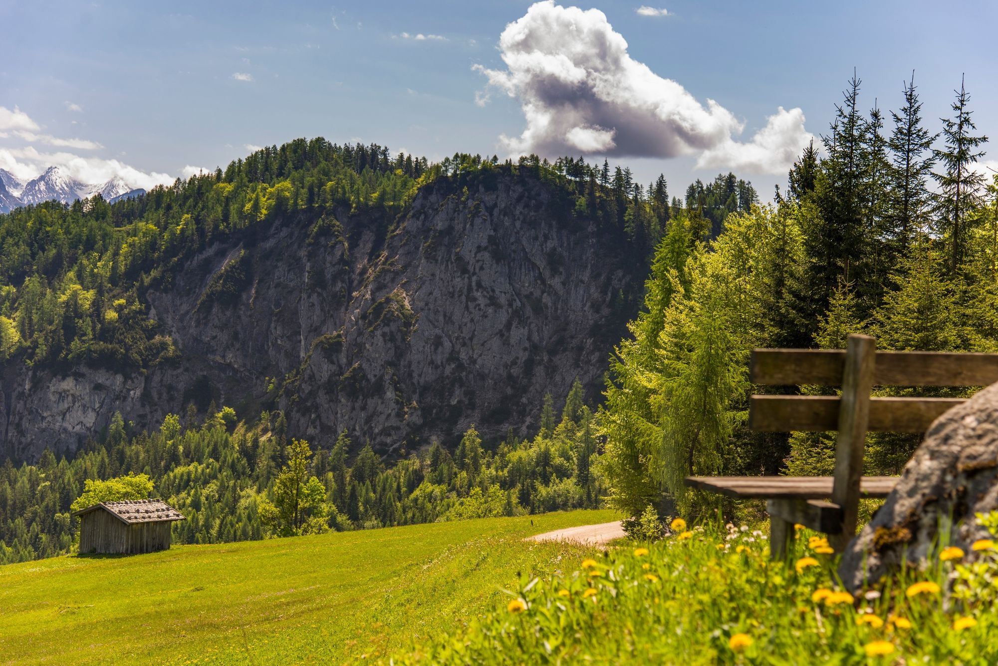
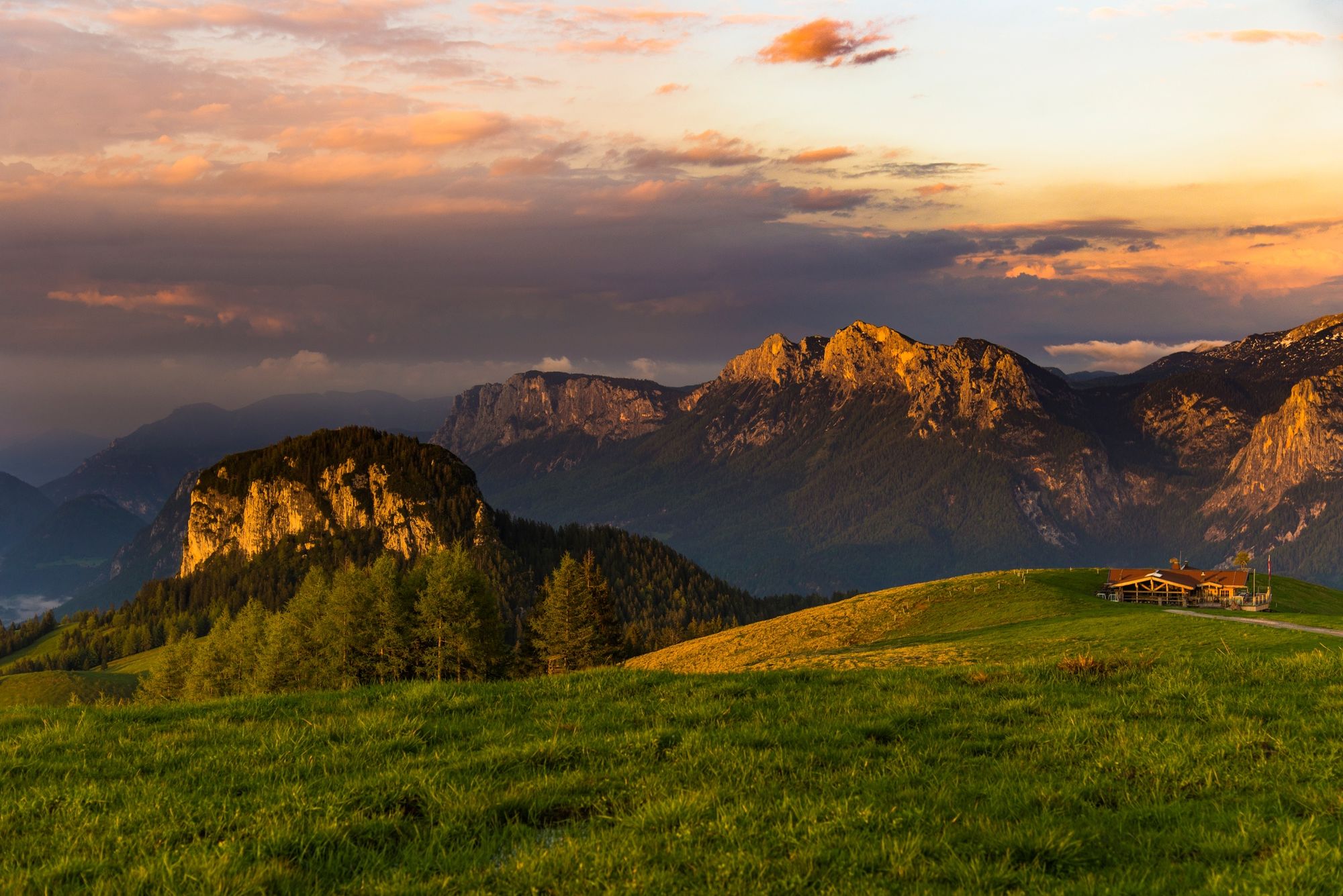
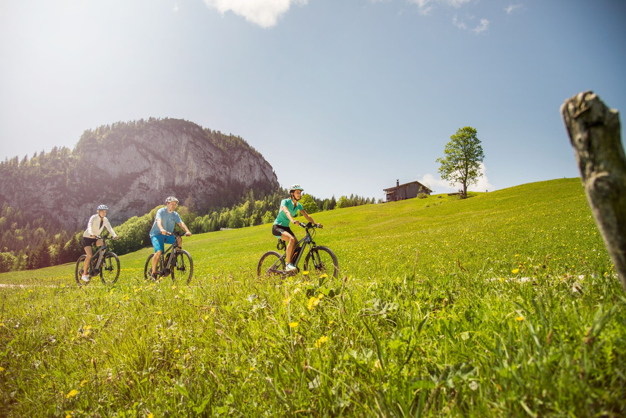
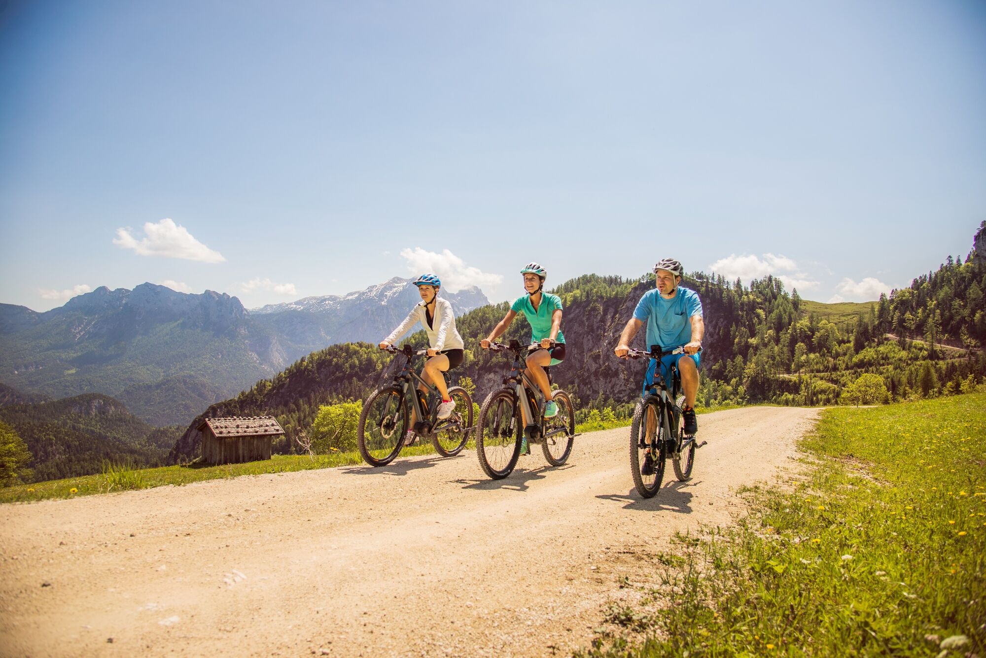
E-mountain bike tour around the Dietrichshorn and back via the Loferer Alm.
- Vaikeus
-
tapa
- Arviointi
-
- Reitti
-
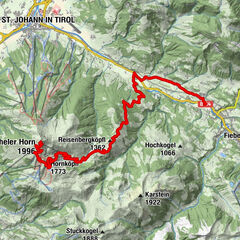
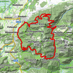
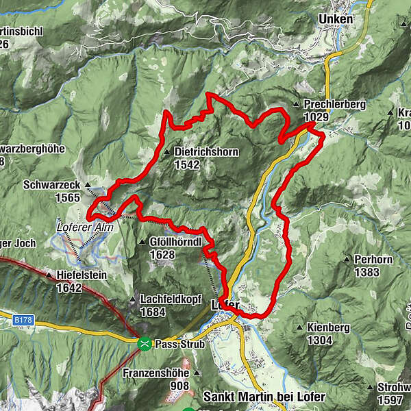
LoferScheffsnoth1,1 kmAu3,4 kmAntoniuskapelle3,7 kmReith6,9 kmBrent8,1 kmSkihütte Schönblick18,8 kmSteger Kaserei19,1 kmFamily Express19,3 kmLoderbichl22,4 kmFaistau24,1 kmBischofsquelle24,7 kmPfarrkirche Hll Maria und Leonhard25,6 kmLofer25,6 km
- Paras kausi
-
tammihelmimaalishuhtitoukokesäheinäelosyyslokamarrasjoulu
- Korkein kohta
- 1.498 m
- Kohde
-
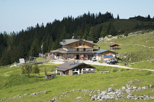
Lofer tourist information office
- Korkeusprofiili
-

-

-
KirjoittajaKiertue Panorama round the Dietrichshorn käyttää outdooractive.com toimitettu.
GPS Downloads


Yleistä tietoa
Virvokepysäkki
Lupaava
Lisää retkiä alueilla