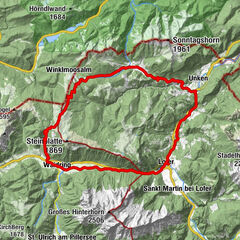
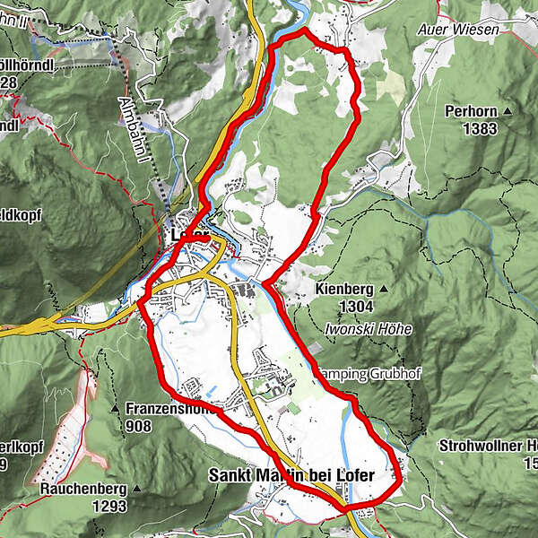
Expedition through Lofer and St. Martin – the Lofer valley circuit

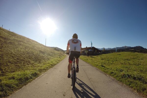
Mountainbike


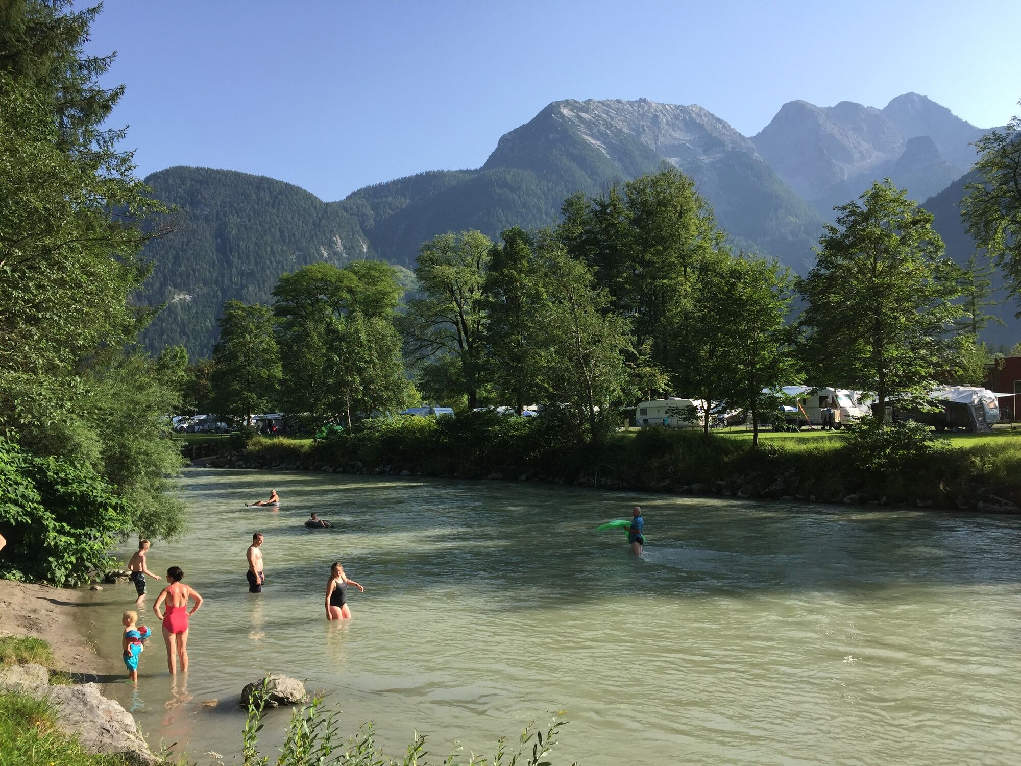
© Salzburger Saalachtal Tourismus - © Salzburger Saalachtal Tourismus

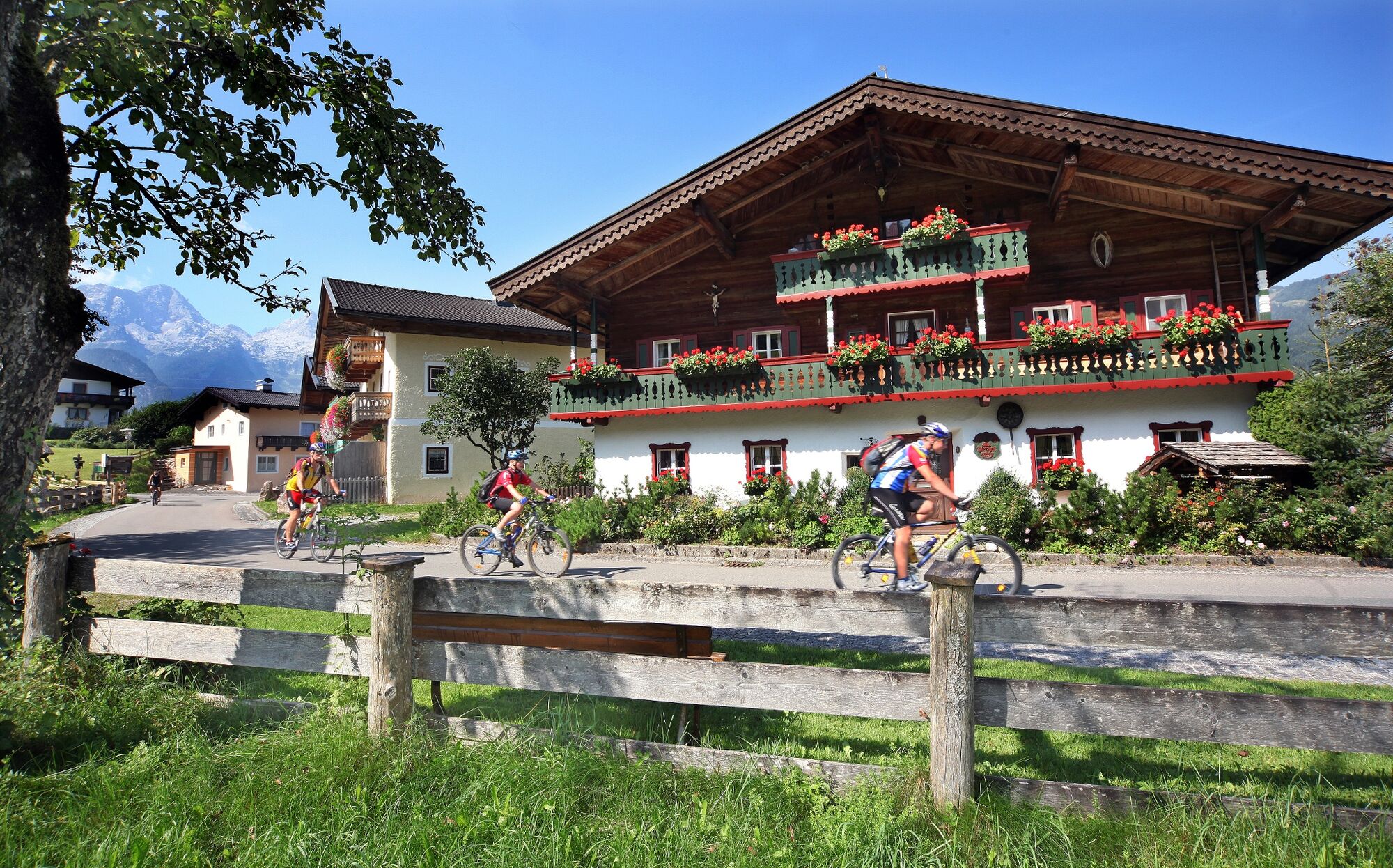
© Salzburger Saalachtal Tourismus - Salzburger Saalachtal

© Salzburger Saalachtal Tourismus - Salzburger Saalachtal

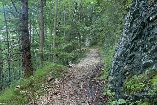
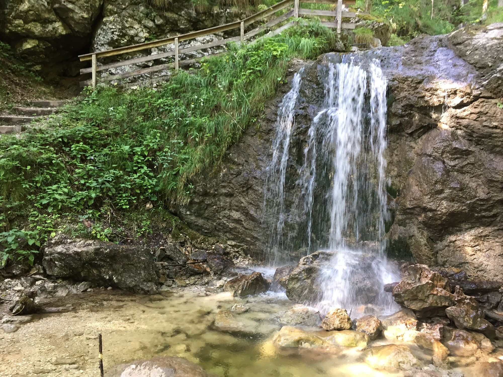
© Salzburger Saalachtal Tourismus - off the path
© Salzburger Saalachtal Tourismus - Salzburger Saalachtal
- Lyhyt kuvaus
-
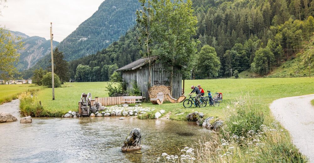
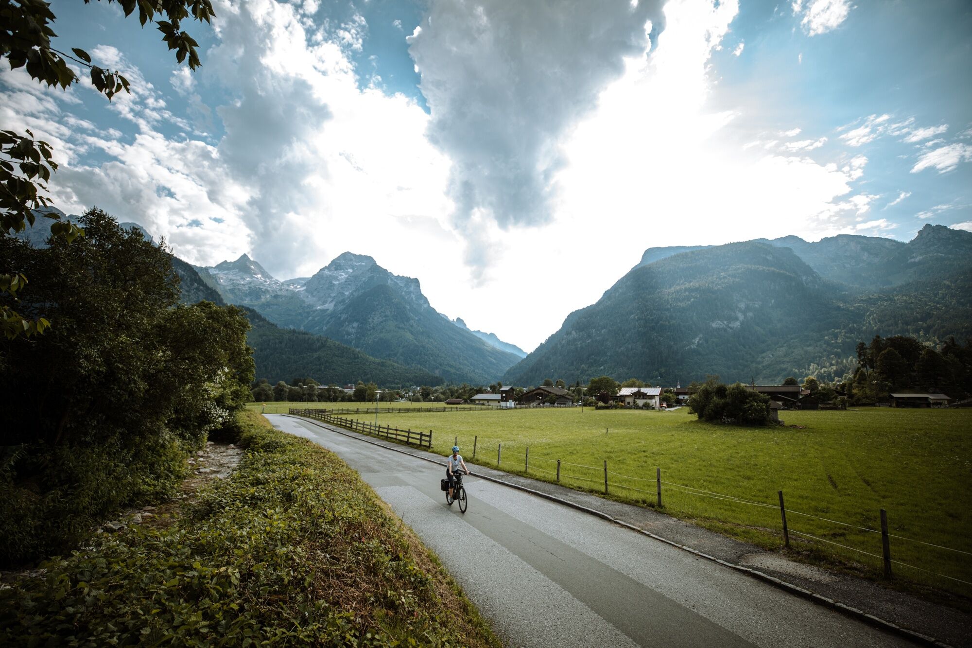
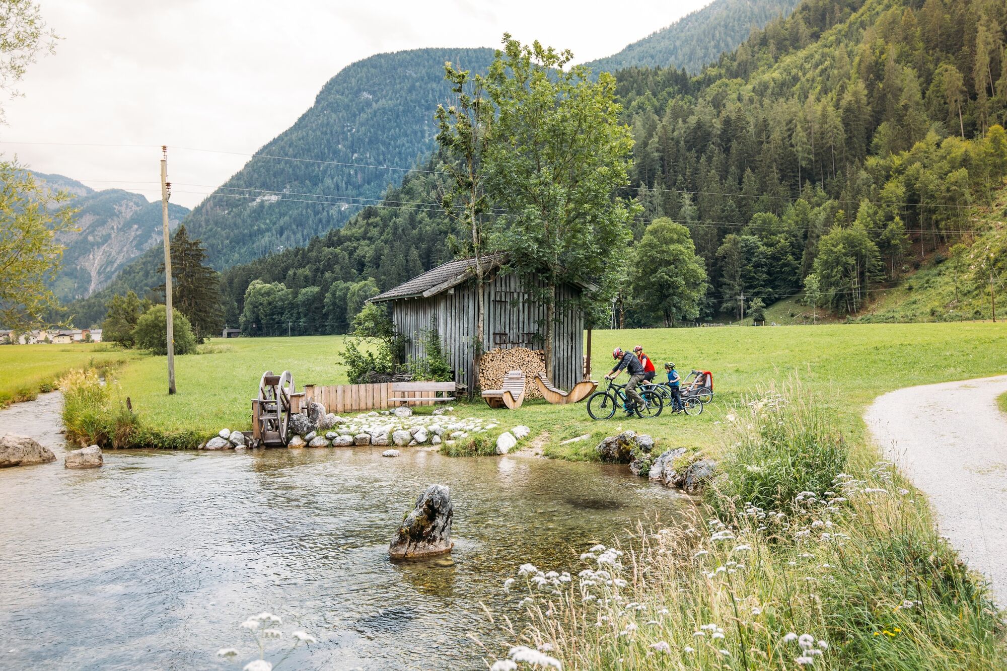
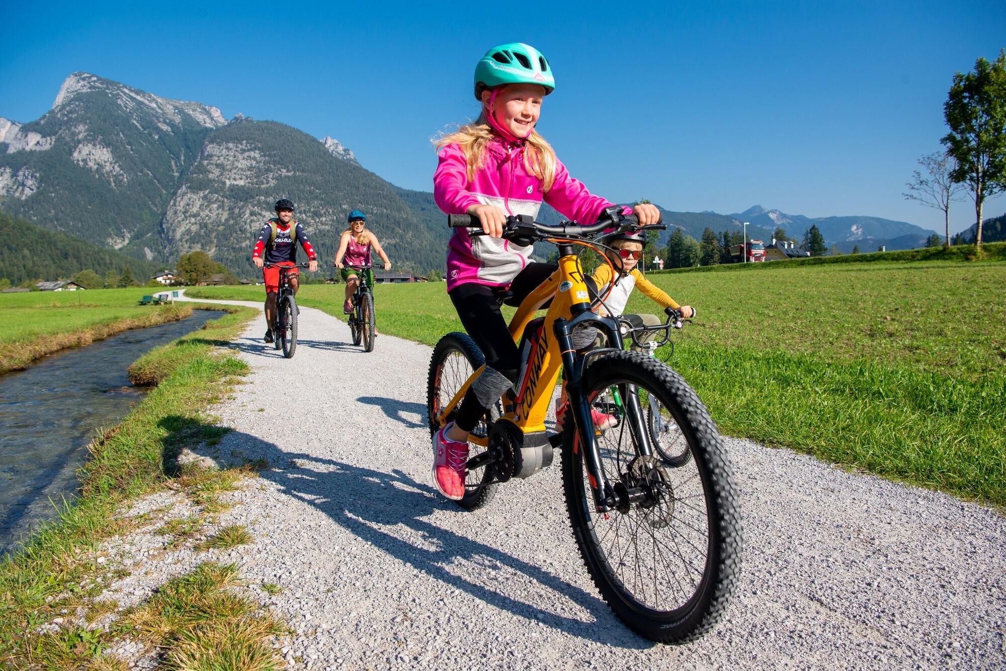
Family Bike-Tour along the Lofer valley basin
- Vaikeus
-
helppo
- Arviointi
-
- Reitti
-
Pfarrkirche Hll Maria und Leonhard0,1 kmLofer0,2 kmRestaurant Cafe Martinerhof3,3 kmSankt Martin bei Lofer3,5 kmGasthaus zum Steinerwirt3,5 kmStrohwolln4,7 kmScheffsnoth7,5 kmAu9,7 kmMaurach10,7 kmBairau12,0 kmKreuzkirche Lofer12,7 kmLofer12,9 kmPfarrkirche Hll Maria und Leonhard12,9 km
- Paras kausi
-
tammihelmimaalishuhtitoukokesäheinäelosyyslokamarrasjoulu
- Korkein kohta
- 646 m
- Kohde
-
Lofer tourist information office
- Korkeusprofiili
-

-

-
KirjoittajaKiertue Expedition through Lofer and St. Martin – the Lofer valley circuit käyttää outdooractive.com toimitettu.
GPS Downloads


Yleistä tietoa
Virvokepysäkki
Lisää retkiä alueilla