
- Vaikeus
-
vaikea
- Arviointi
-
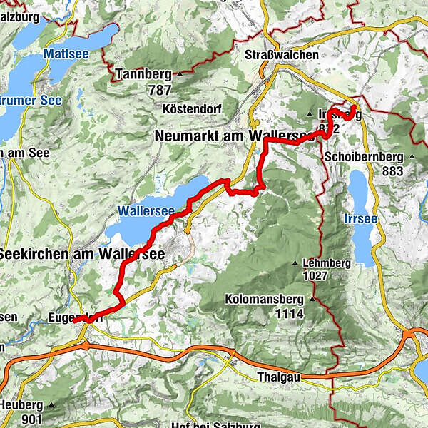
- Reitti
-
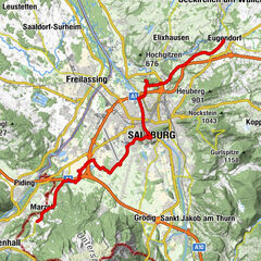
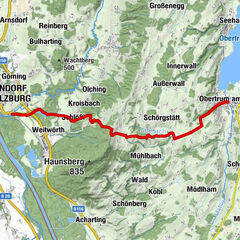
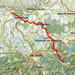
Römisch Katholische Pfarrkirche Eugendorf zum Heiliger Martin0,0 kmEugendorf0,0 kmEugenbach1,2 kmGastagwirt1,6 kmLandhotel Gschirnwirt1,8 kmSchaming1,9 kmFenningerspitz6,2 kmSeebrunn Restaurant Weyringer7,9 kmEnzing9,4 kmWallersee-Ostbucht11,2 kmMatzing11,8 kmNeufahrn12,9 kmHaslach14,6 kmWertheim15,8 kmSighartstein16,5 kmSankt Martin17,1 kmPfongau17,4 kmLengroid18,3 kmLengroid18,7 kmHaager Jakobskapelle19,9 kmHöhenroith21,1 kmHaslach22,3 kmRabenschwand23,4 kmGasthaus Hitzl23,9 kmRömerhof23,9 km
- Korkein kohta
- 715 m
- Korkeusprofiili
-

- Kirjoittaja
-
Kiertue Jerusalemweg: Eugendorf - Oberhofen käyttää outdooractive.com toimitettu.
GPS Downloads


Yleistä tietoa
Virvokepysäkki
Lisää retkiä alueilla
-
Innviertel
797
-
Salzburger Seenland
1045
-
Neumarkt am Wallersee
162