- Lyhyt kuvaus
-
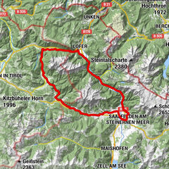
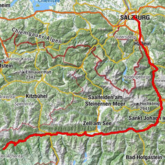
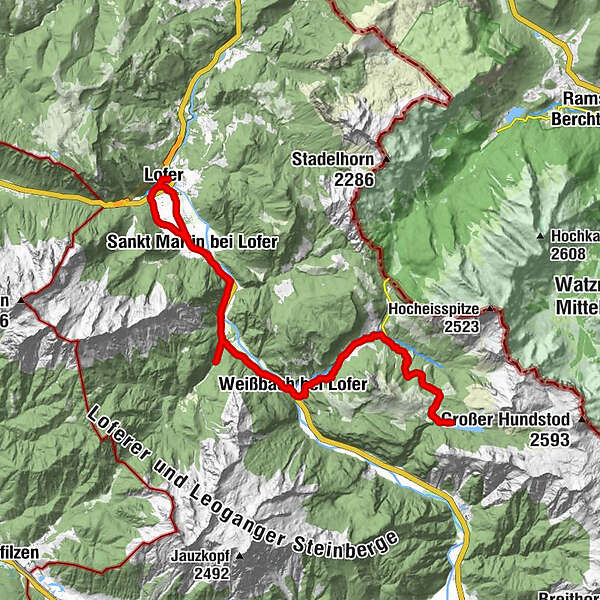
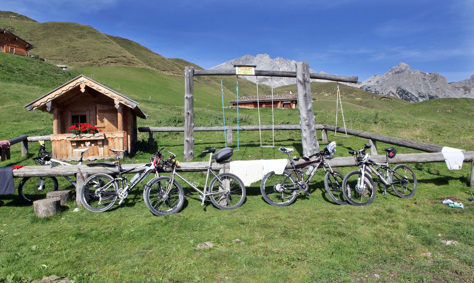
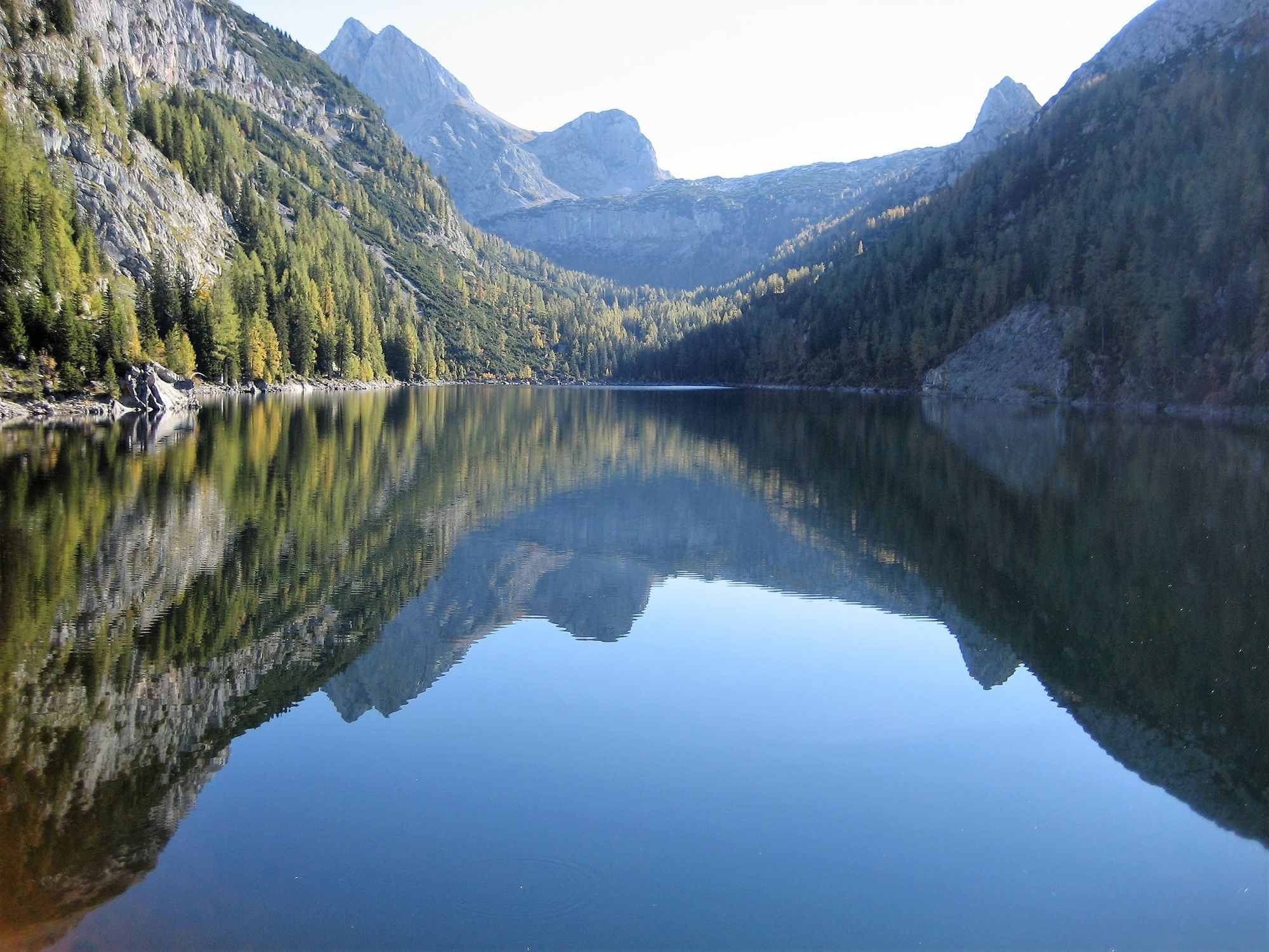
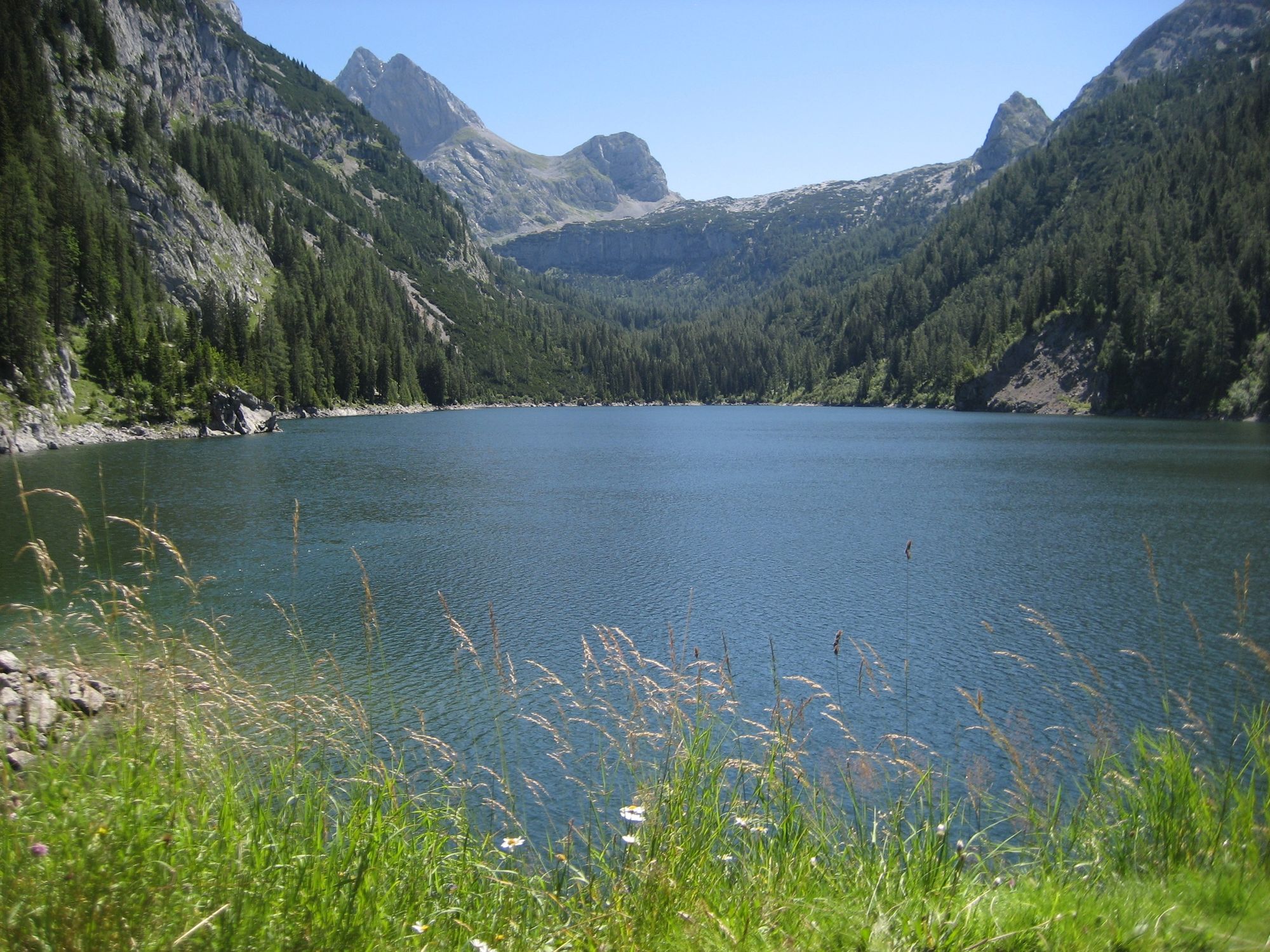
Beautiful e-mountain bike tour from Lofer via St. Martin and Weißbach to the Dießbach reservoir on the Kalbrunnalm.
- Vaikeus
-
tapa
- Arviointi
-
- Reitti
-
Pfarrkirche Hll Maria und Leonhard0,1 kmLofer0,2 kmGumping1,3 kmSankt Martin bei Lofer2,7 kmRestaurant Cafe Martinerhof3,0 kmGasthaus zum Steinerwirt3,0 kmObsthurn5,2 kmDürnberger6,6 kmGasthaus Lamprechtshöhle9,1 kmLandgasthof Seisenbergklamm10,2 kmWeißbach bei Lofer10,2 kmUnterweißbach10,4 kmOberweißbach10,5 kmSeisenbergklamm11,8 kmGasthof Lohfeyer13,4 kmStockklaus13,8 kmStockklaus27,3 kmGasthof Lohfeyer27,8 kmSeisenbergklamm29,5 kmOberweißbach30,7 kmUnterweißbach30,8 kmWeißbach bei Lofer30,9 kmLandgasthof Seisenbergklamm31,0 kmGasthaus Lamprechtshöhle31,8 kmDürnberger36,1 kmObsthurn37,5 kmGasthaus zum Steinerwirt39,5 kmSankt Martin bei Lofer39,6 kmRestaurant Cafe Martinerhof39,8 kmPfarrkirche Hll Maria und Leonhard43,0 kmLofer43,0 km
- Paras kausi
-
tammihelmimaalishuhtitoukokesäheinäelosyyslokamarrasjoulu
- Korkein kohta
- 1.468 m
- Kohde
-
Lofer - Salzburger Saalachtal office
- Korkeusprofiili
-


-

-
KirjoittajaKiertue With the e-mountain bike to the Dießbach reservoir käyttää outdooractive.com toimitettu.
GPS Downloads


Yleistä tietoa
Virvokepysäkki
Lupaava
Lisää retkiä alueilla