© Skischule Exclusiv - Christoph Grahmann

© Skischule Exklusiv - Christoph Grahmann

© Skischule Exclusiv - Christoph Grahmann

© Skischule Exclusiv - Christoph Grahmann

© Skischule Exclusiv - Christoph Grahmann

- Lyhyt kuvaus
-
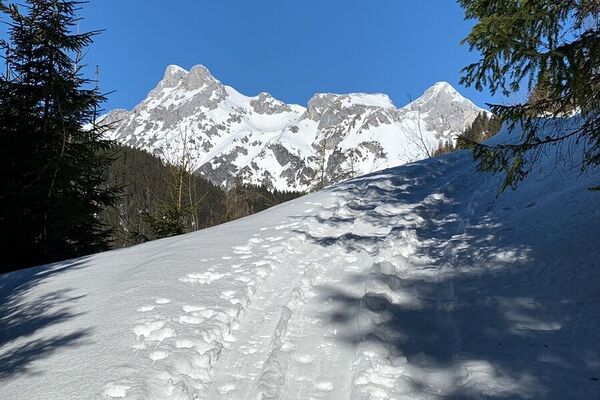
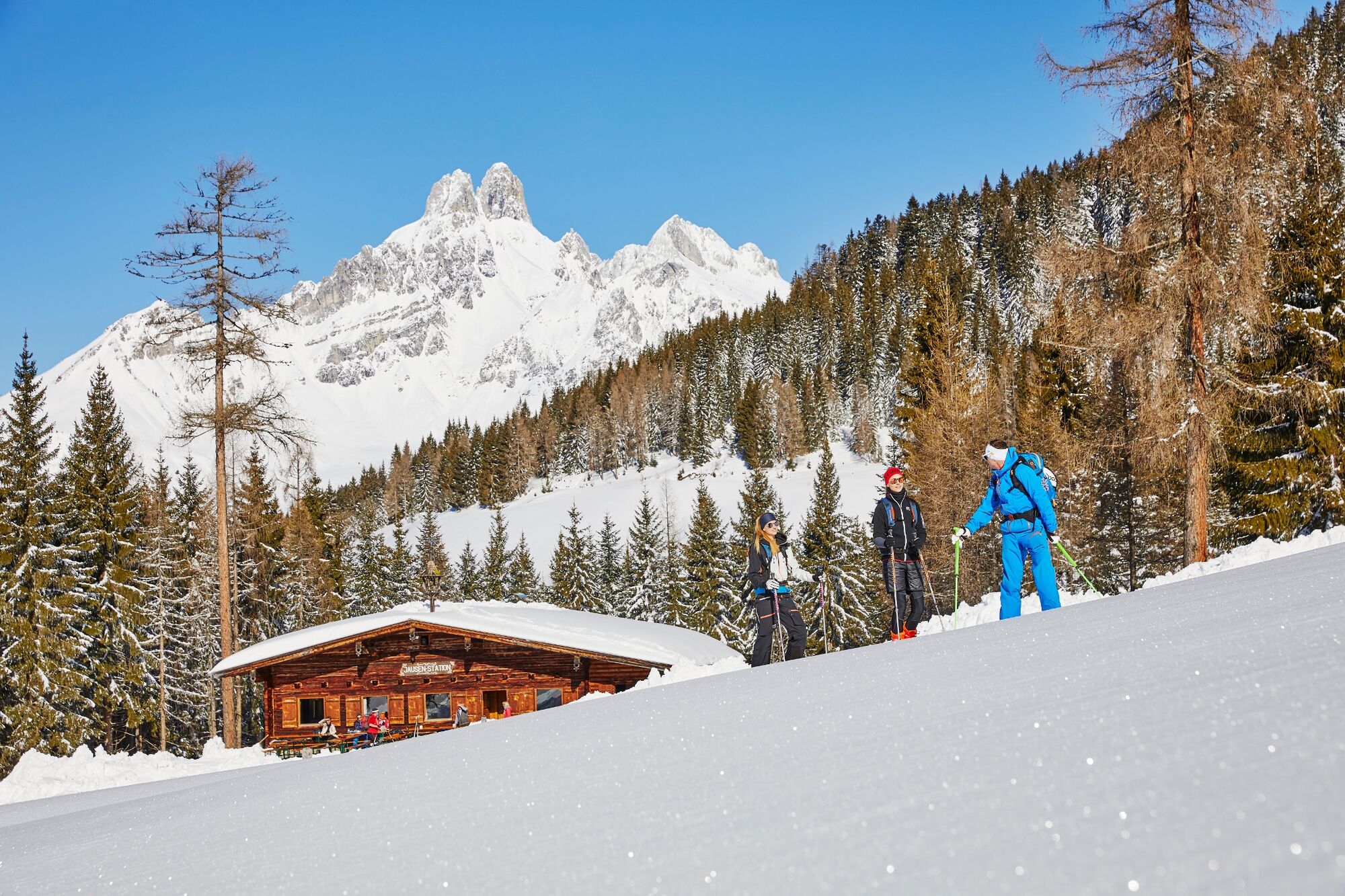
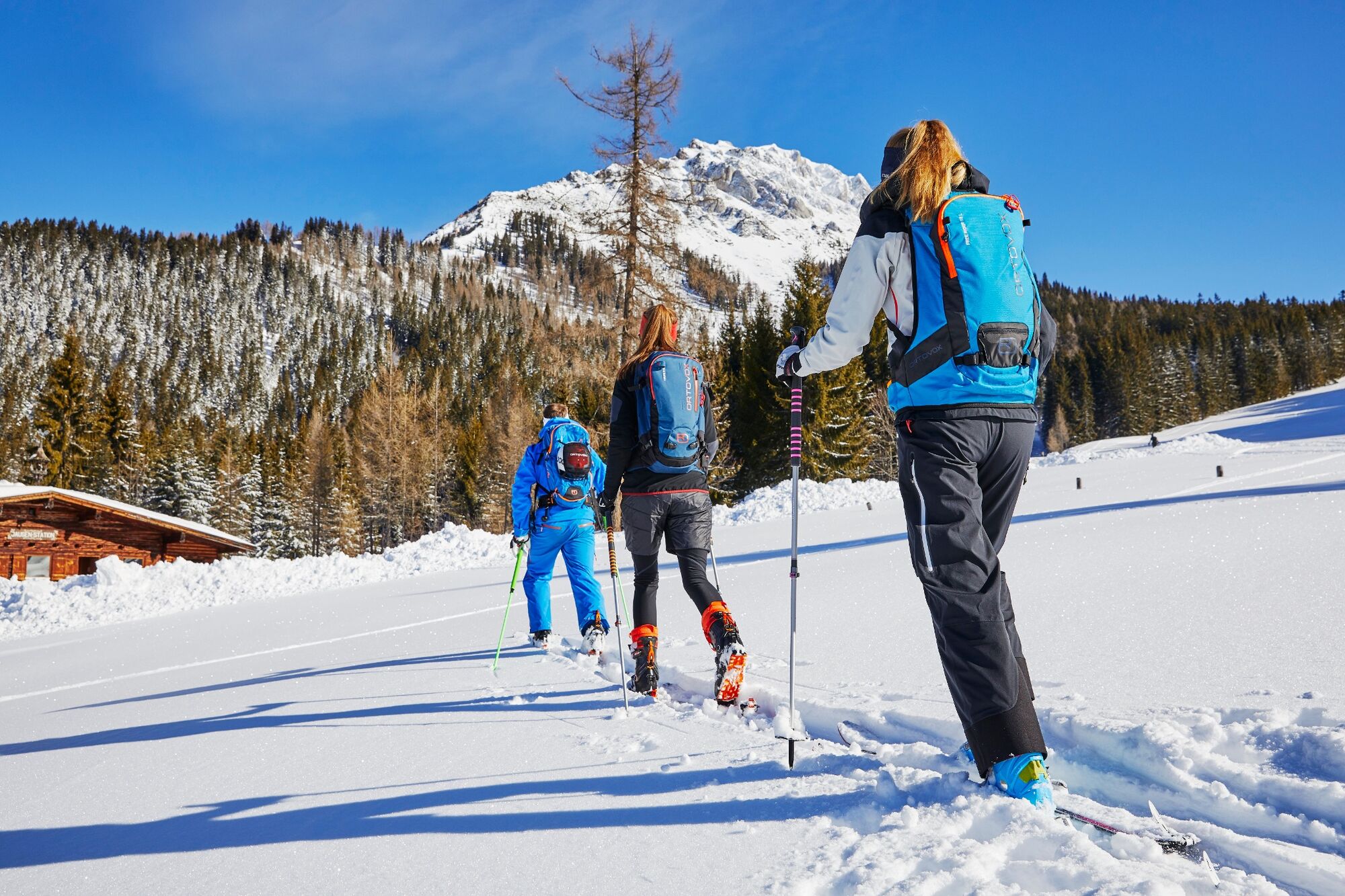
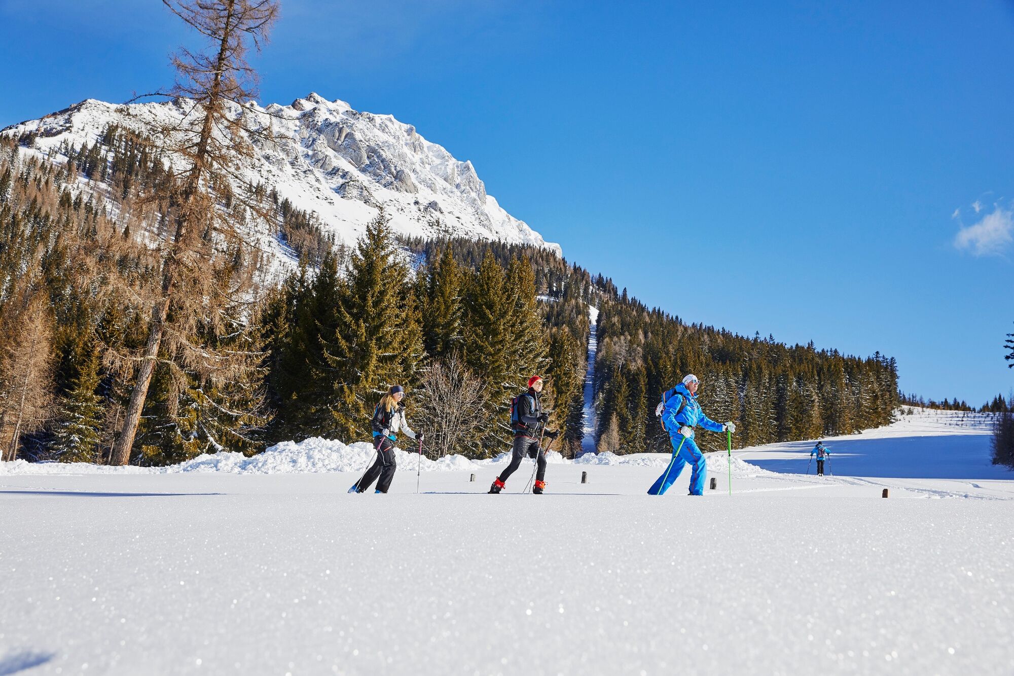
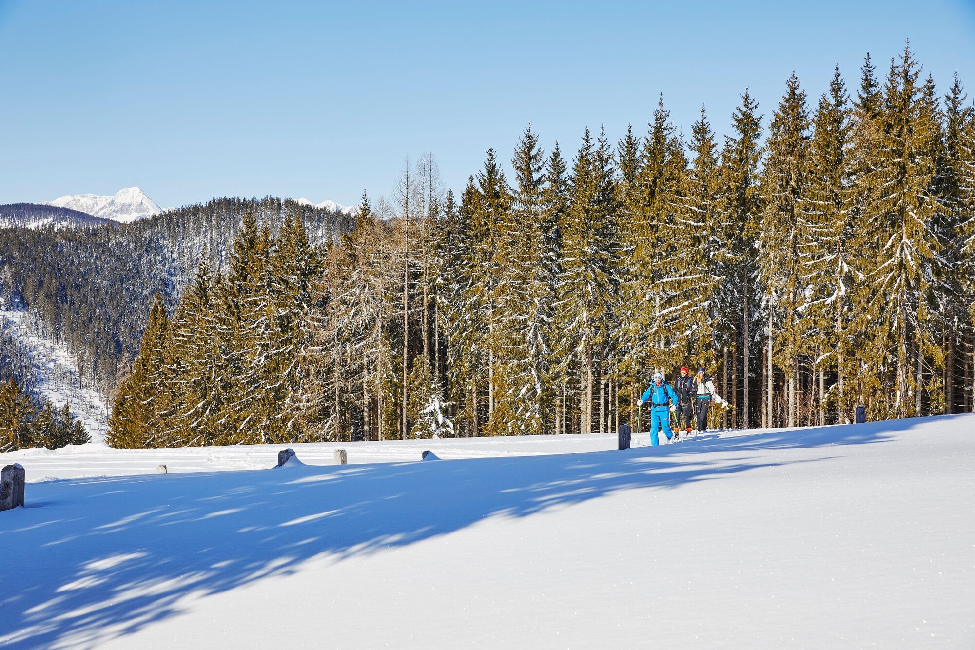
Am Westhang vom Rötelstein bieten sich mehrere Möglichkeiten für kurze, zum Teil durchaus steile Skitouren.
- Vaikeus
-
helppo
- Arviointi
-
- Paras kausi
-
elosyyslokamarrasjoulutammihelmimaalishuhtitoukokesäheinä
- Korkein kohta
- 1.567 m
- Kohde
-
Bergstation des ehemaligen Rettensteinliftes
- Exposition
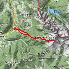
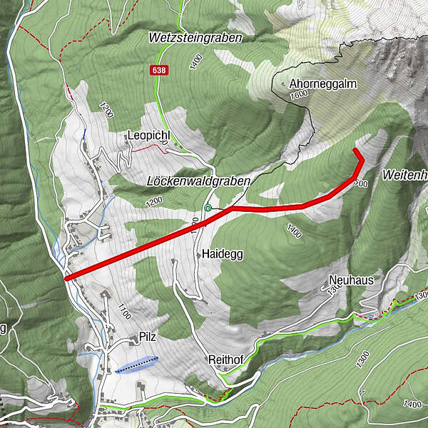
- Korkeusprofiili
-


- Kirjoittaja
-
Kiertue Backcountry Skitour at the foot of the Rötelstein käyttää outdooractive.com toimitettu.
GPS Downloads


Yleistä tietoa
Virvokepysäkki
Lupaava
Lisää retkiä alueilla
-
Schladming - Dachstein
250
-
Ramsau am Dachstein
130
-
Filzmoos
54