


- Lyhyt kuvaus
-
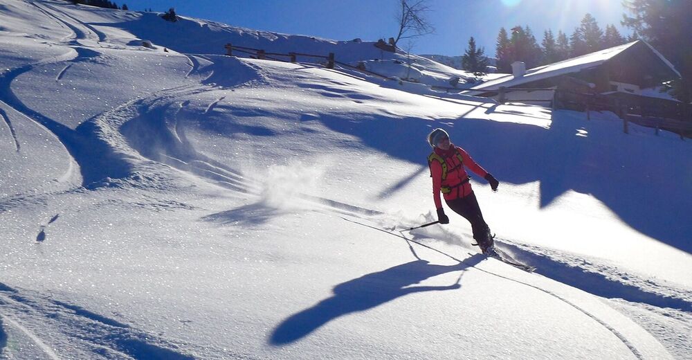
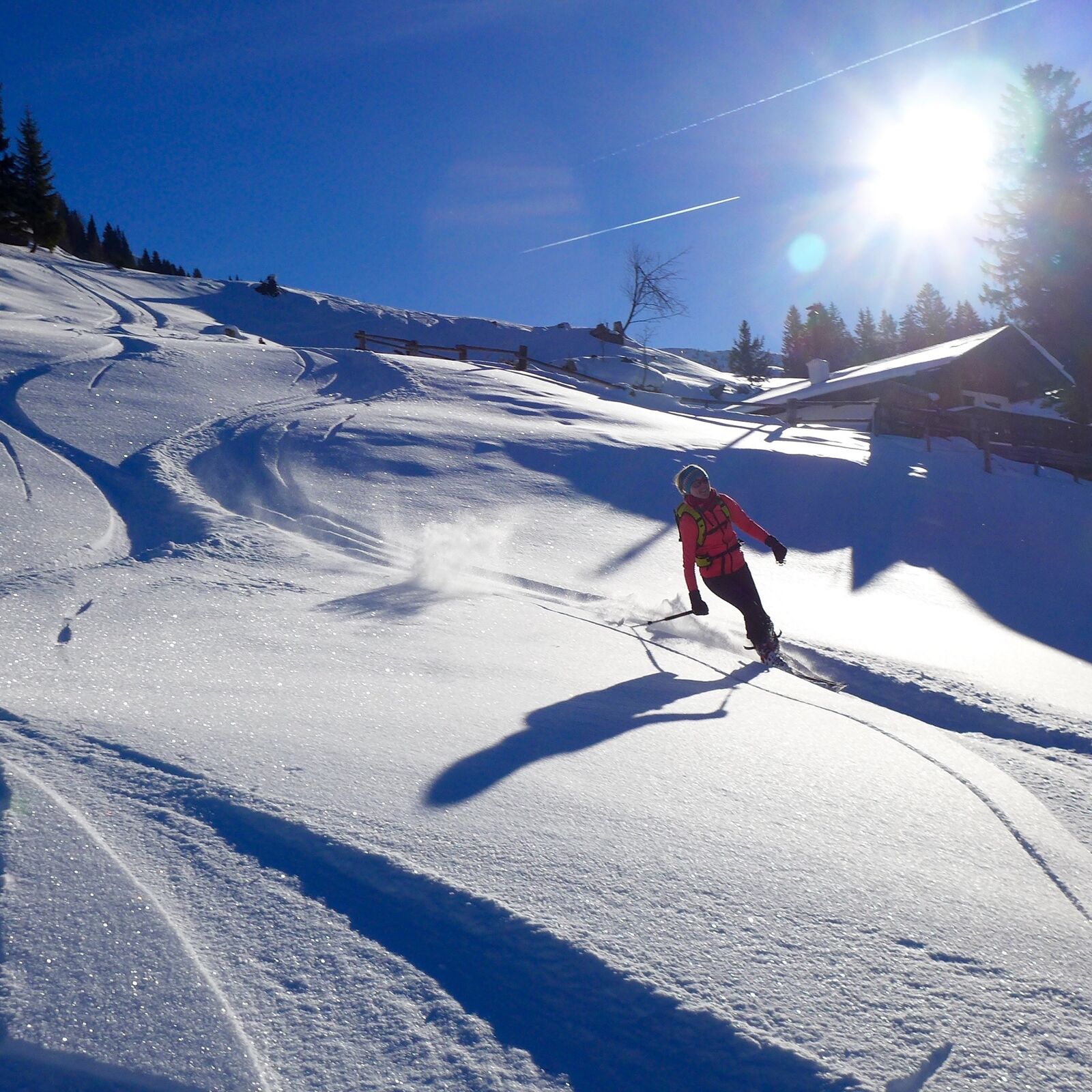
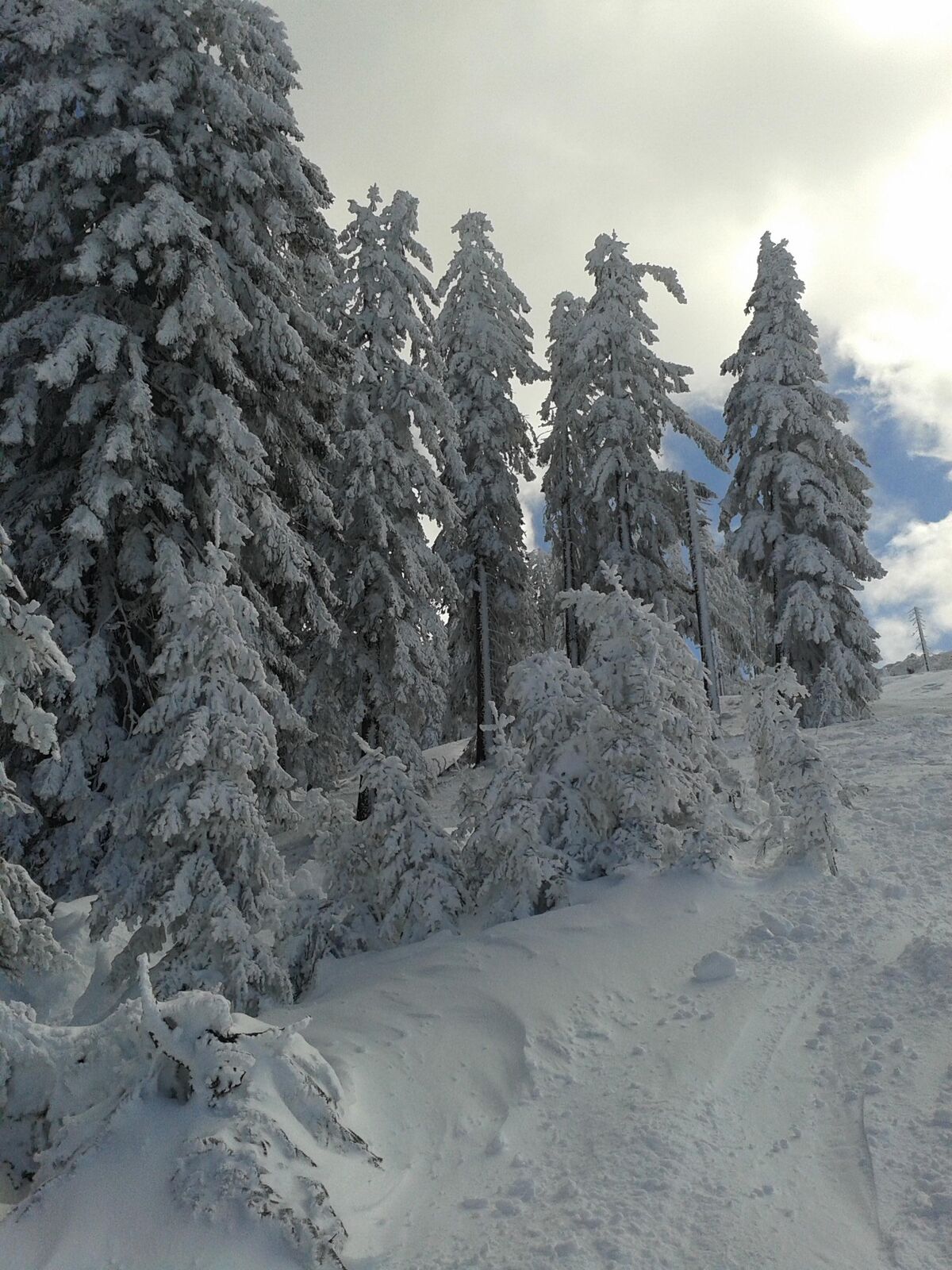
Due to the steep incline in the upper part, this is a rather demanding ski tour in the western foothills of the Hochkönig massif. The predominantly south-facing orientation of the tour, as well as the increase in steepness in the upper part, make it a classic spring tip.
- Vaikeus
-
tapa
- Arviointi
-
- Paras kausi
-
elosyyslokamarrasjoulutammihelmimaalishuhtitoukokesäheinä
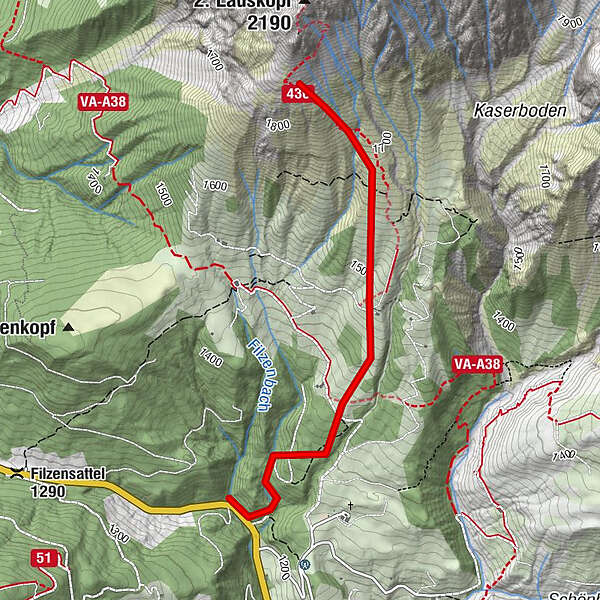
- Korkein kohta
- 1.905 m
- Kohde
-
South facing slopes below the Lausköpfe at about 1900m
- Exposition
- Korkeusprofiili
-

- Kirjoittaja
-
Kiertue Skitouring Lausköpfe käyttää outdooractive.com toimitettu.
GPS Downloads


Lisää retkiä alueilla
-
Hochkönig
140
-
Dienten am Hochkönig
37