
- Lyhyt kuvaus
-
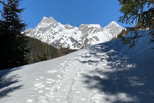
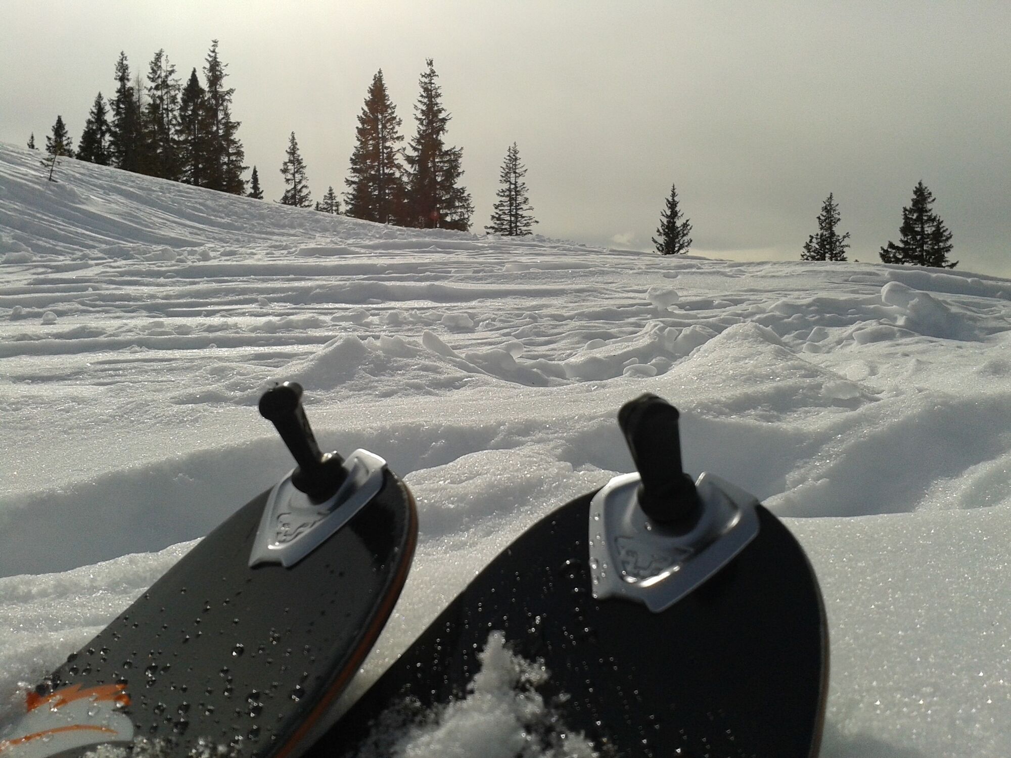
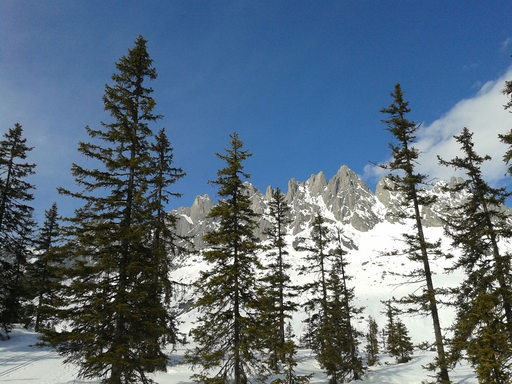
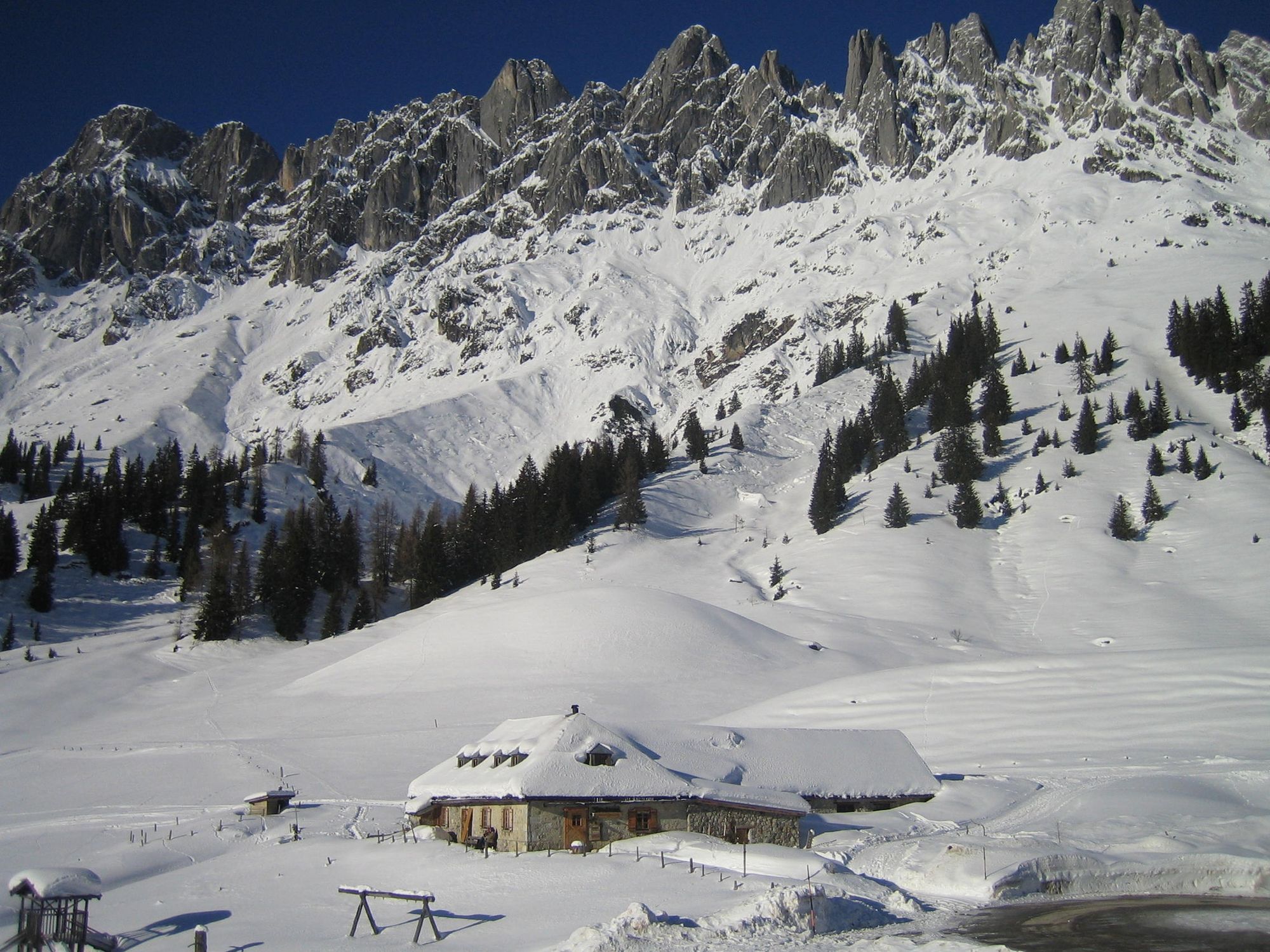
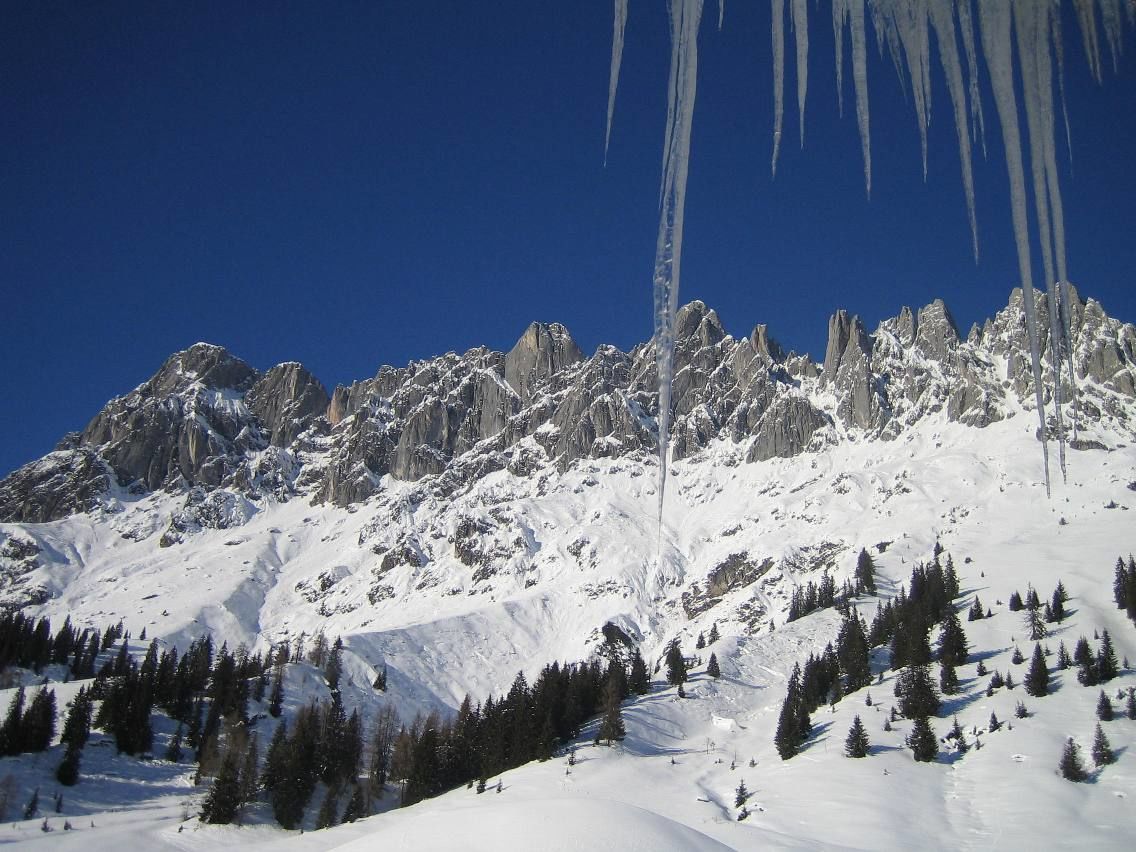
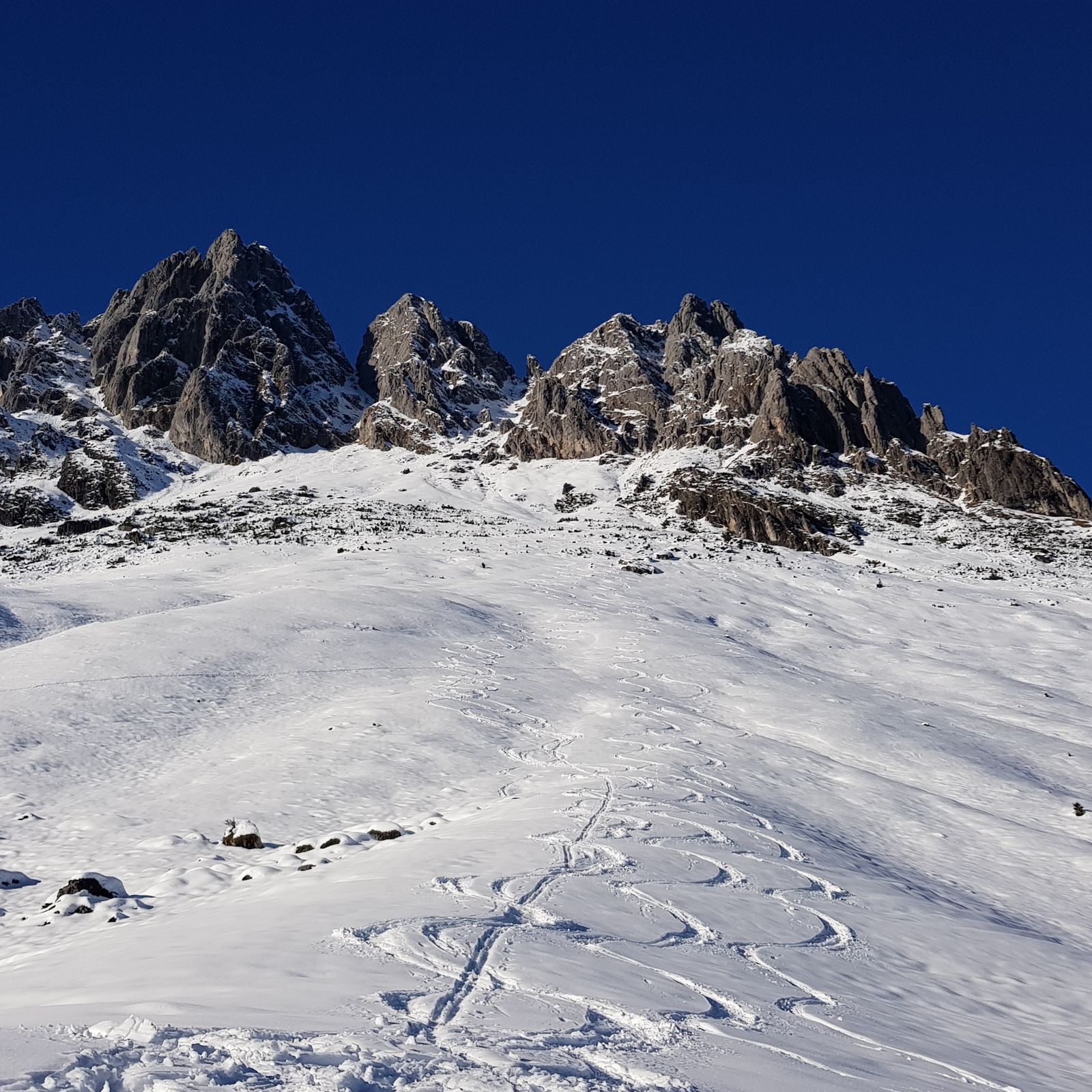
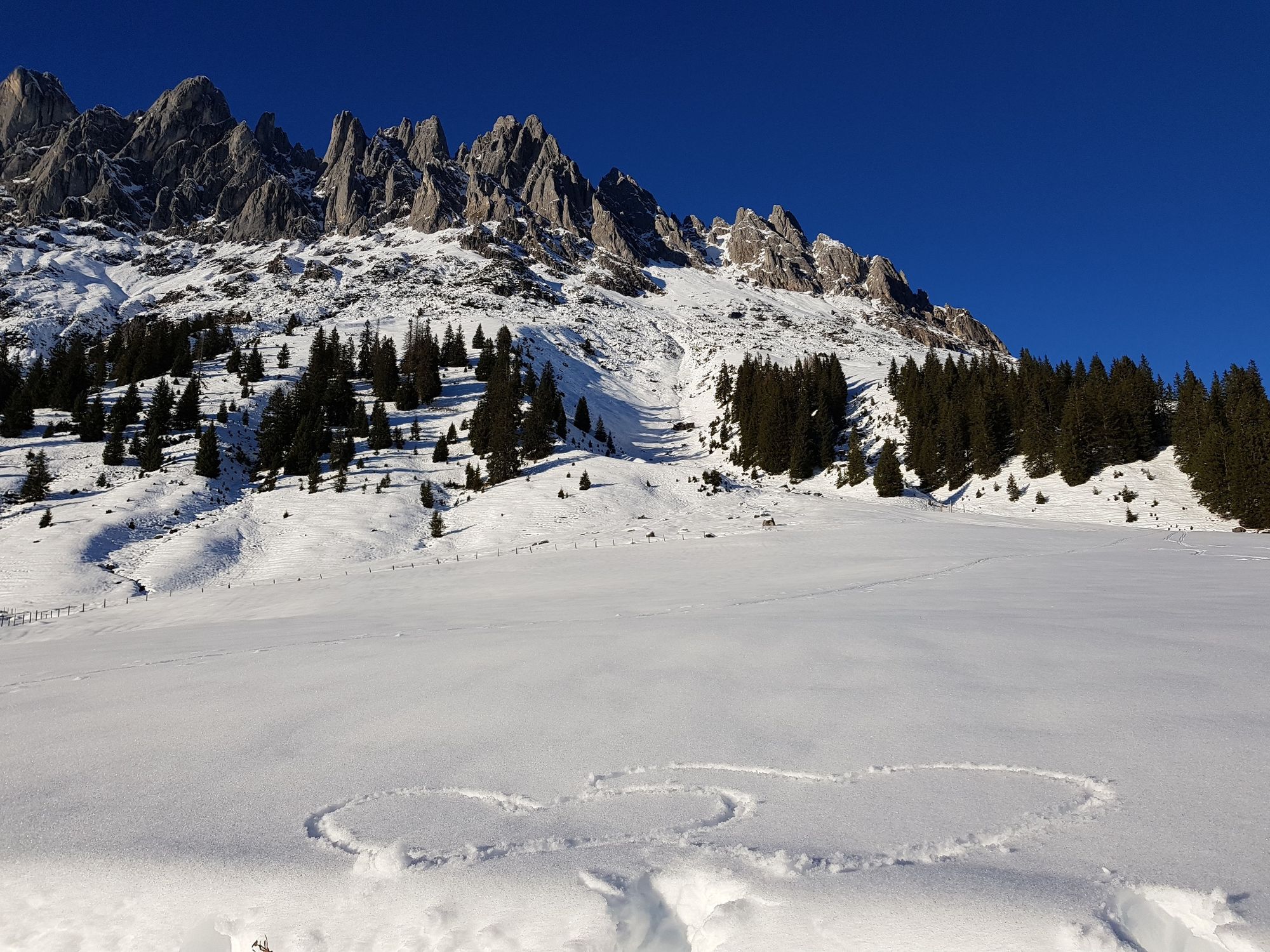
A sunny, panoramic ski tour at the foot of the Mandlwände with a racy steep gully in the uppermost section.
- Vaikeus
-
tapa
- Arviointi
-
- Reitti
-
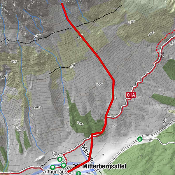
ArthurhausMitterbergsattel (1.515 m)0,2 km
- Paras kausi
-
elosyyslokamarrasjoulutammihelmimaalishuhtitoukokesäheinä
- Korkein kohta
- 2.096 m
- Kohde
-
Vierrinnenköpfe
- Exposition
- Korkeusprofiili
-

- Kirjoittaja
-
Kiertue Skitouring Vierrinnenköpfe käyttää outdooractive.com toimitettu.