


- Lyhyt kuvaus
-
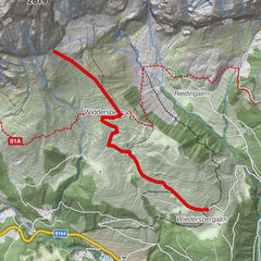
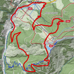
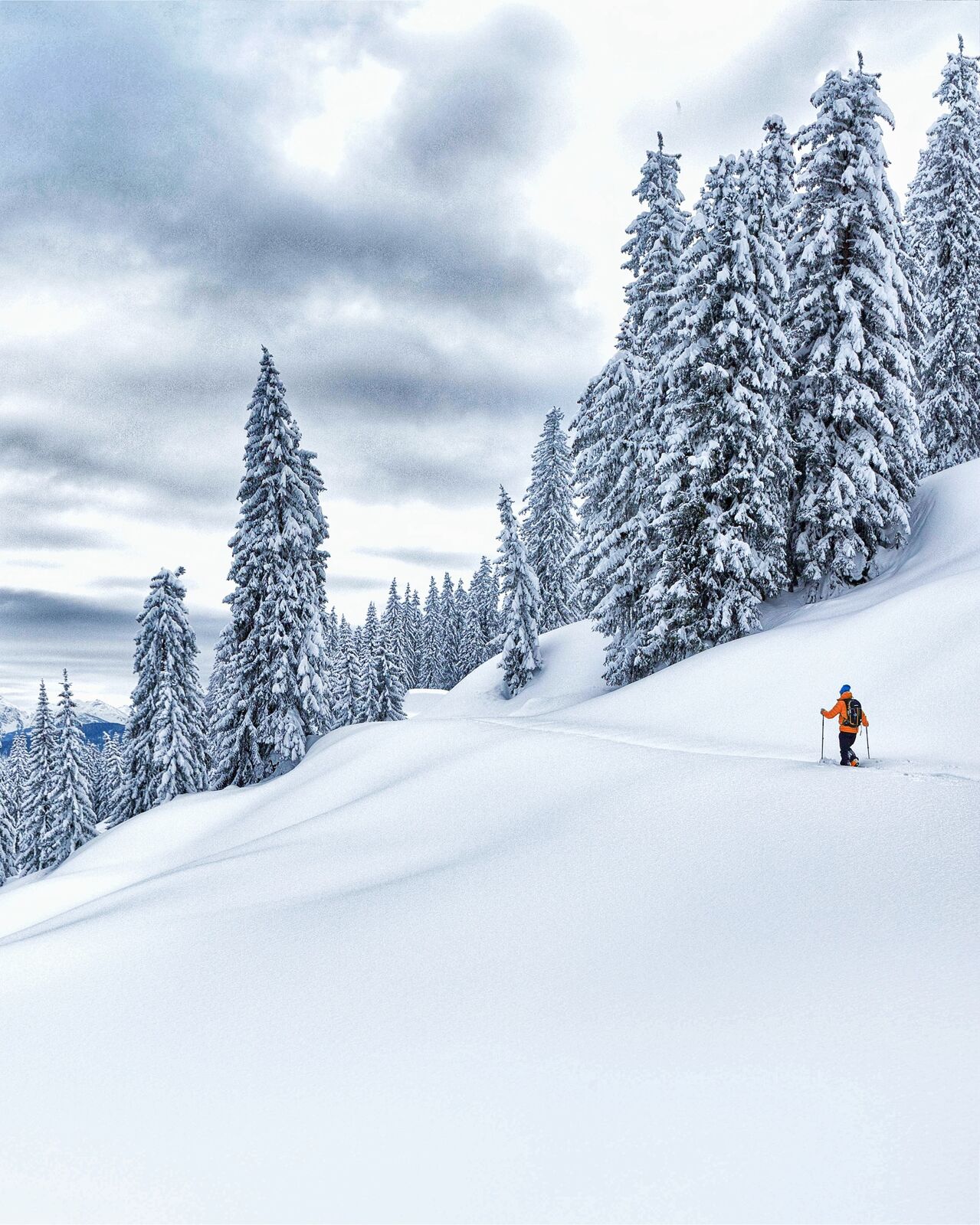
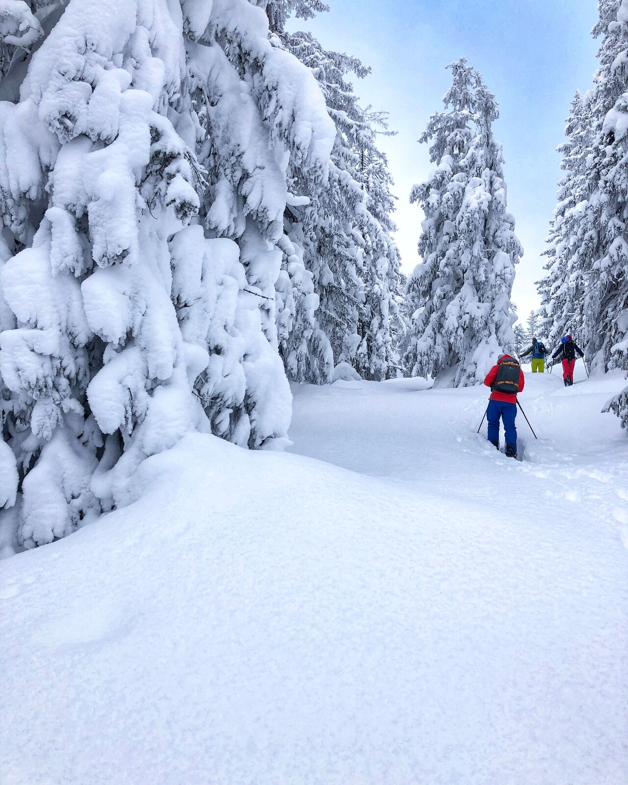
Wide forest aisles and alpine pastures in predominantly ideal steepness are characteristic for this route - and that almost continuously over 1200 metres in altitude!
- Vaikeus
-
tapa
- Arviointi
-
- Reitti
-
Schwalbenwand (2.011 m)4,9 km
- Paras kausi
-
elosyyslokamarrasjoulutammihelmimaalishuhtitoukokesäheinä
- Korkein kohta
- 1.917 m
- Kohde
-
Schwalbenwand
- Korkeusprofiili
-


- Kirjoittaja
-
Kiertue Skitouring Schwalbenwand (northern rise) käyttää outdooractive.com toimitettu.
GPS Downloads


Lisää retkiä alueilla
-
Saalfelden - Leogang
128
-
Maria Alm
28