

© Wagrain-Kleinarl Tourismus - Lorenz Masser

© Verein Erz der Alpen - Sabine Zölß

© Wagrain-Kleinarl Tourismus - Lorenz Masser

© Wagrain-Kleinarl Tourismus - Lorenz Masser

© Wagrain-Kleinarl Tourismus - Lorenz Masser

© Wagrain-Kleinarl Tourismus - Lorenz Masser

© Wagrain-Kleinarl Tourismus - Lorenz Masser

- Lyhyt kuvaus
-
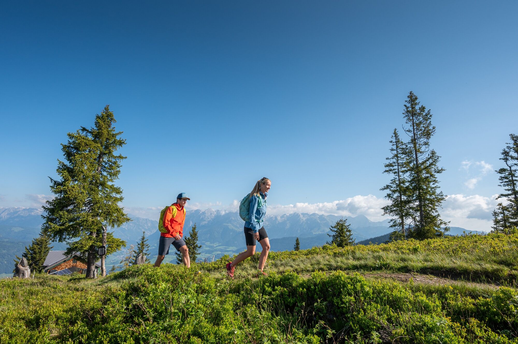
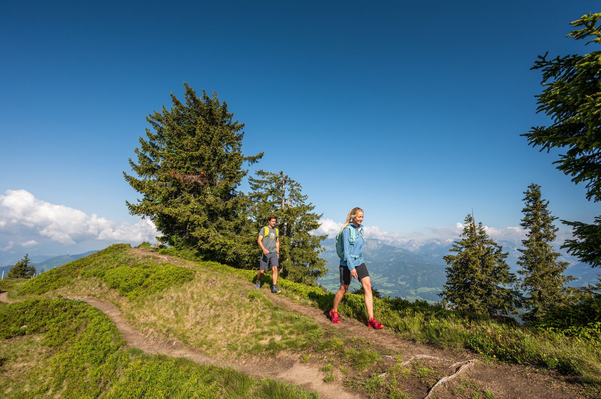
Easy hike through the forest and across meadows to the panoramic summit of the Hochgründeck.
- Vaikeus
-
tapa
- Arviointi
-
- Reitti
-
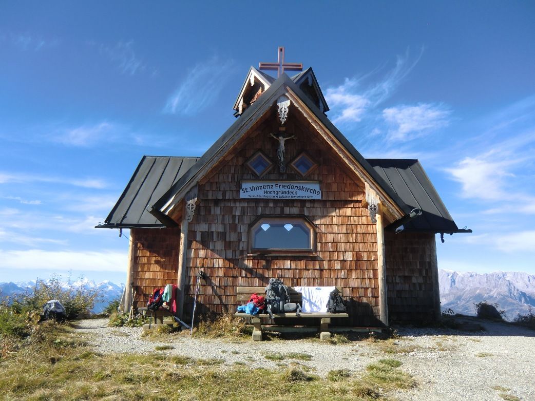
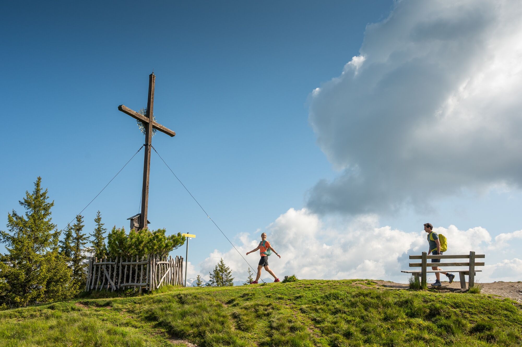
Bergkapelle0,6 kmHeinrich-Kiener-Haus3,6 kmSt. Vinzenz Friedenskirche3,8 kmHochgründeck (1.827 m)4,3 km
- Paras kausi
-
tammihelmimaalishuhtitoukokesäheinäelosyyslokamarrasjoulu
- Korkein kohta
- 1.814 m
- Kohde
-
summit Hochgründeck
- Korkeusprofiili
-


-

-
KirjoittajaKiertue Hochgründeck (1827m) - from Ginau käyttää outdooractive.com toimitettu.
GPS Downloads


Yleistä tietoa
Virvokepysäkki
Lupaava
Lisää retkiä alueilla


