© Salzkammergut - BergeSeen - Salzkammergut Tourismus

© Salzkammergut - BergeSeen - Salzkammergut Tourismus

© Salzkammergut - BergeSeen - Salzkammergut Tourismus

© Salzkammergut - BergeSeen - Salzkammergut Tourismus

© Salzkammergut - BergeSeen - Salzkammergut Tourismus

© Salzkammergut - BergeSeen - Salzkammergut Tourismus

© Salzkammergut - BergeSeen - Salzkammergut Tourismus

- Lyhyt kuvaus
-
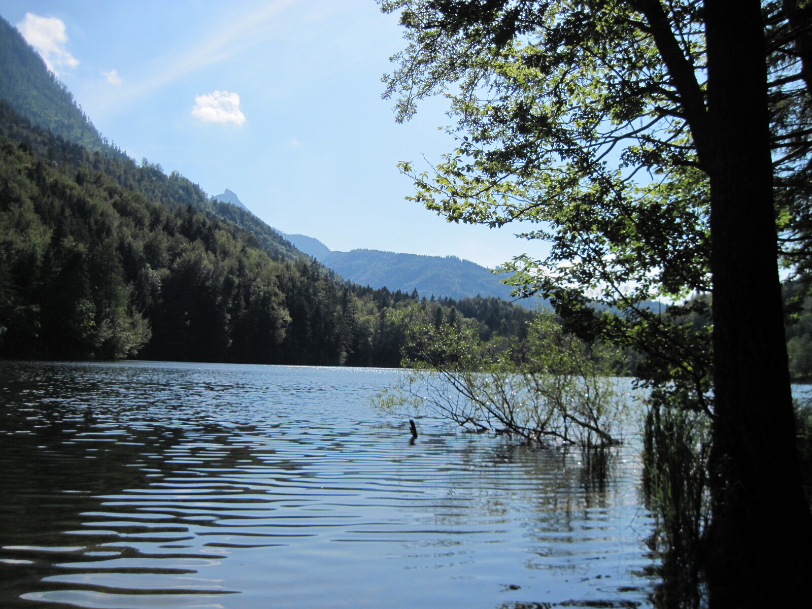
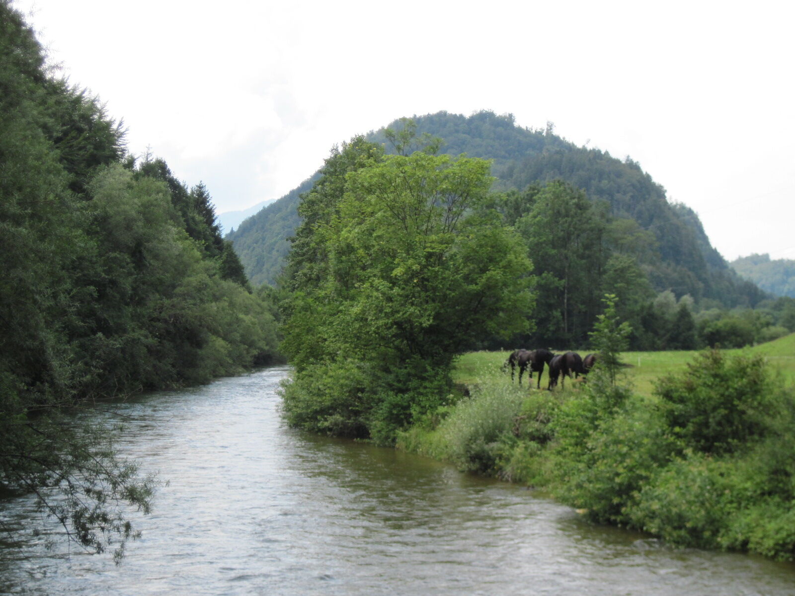
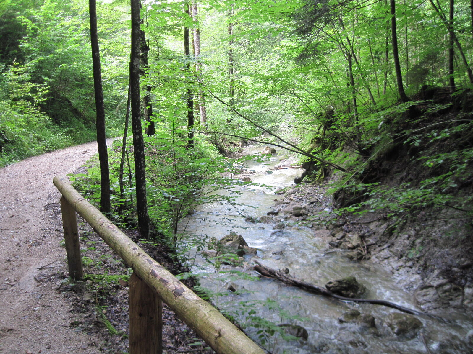
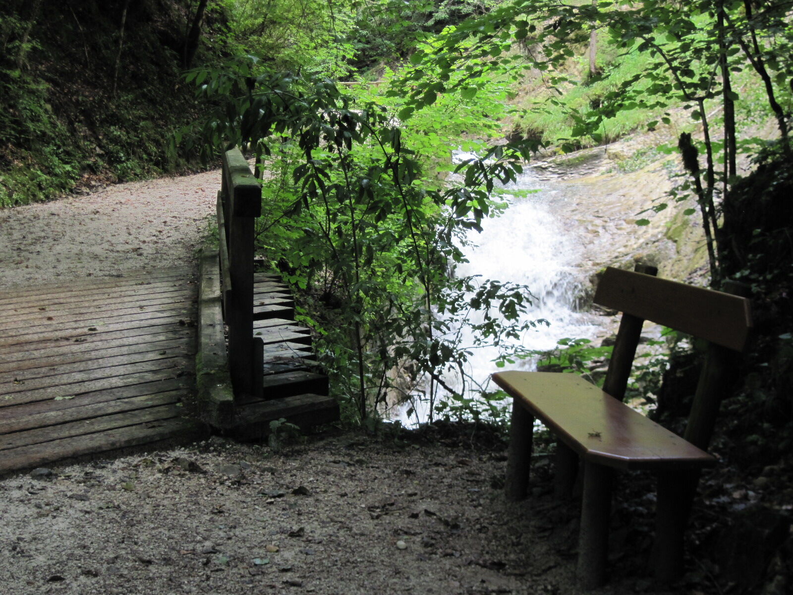
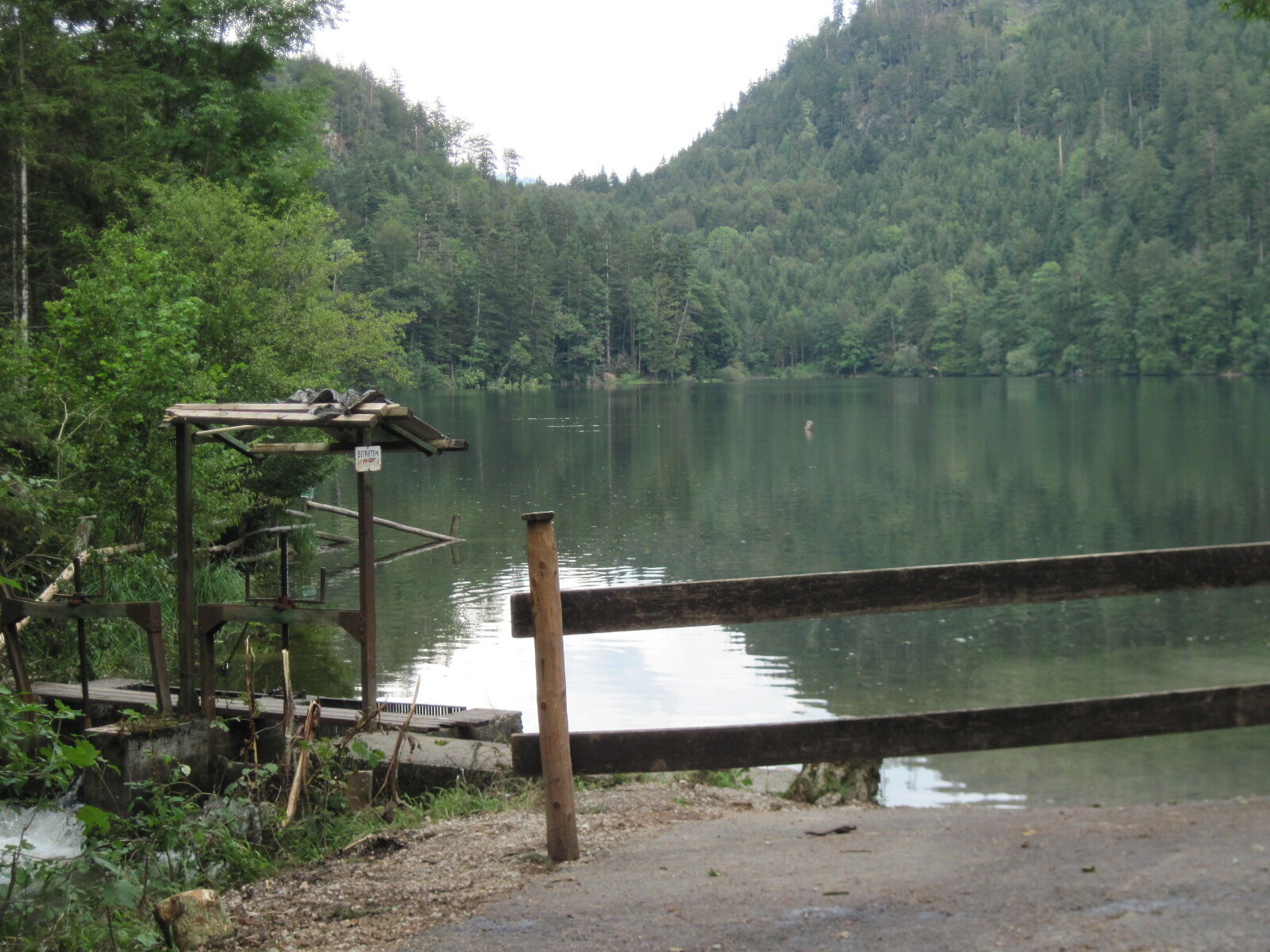
Relatively short valley hike along side streets, wide paths and forest trails without significant changes in elevation.
- Vaikeus
-
helppo
- Arviointi
-
- Reitti
-
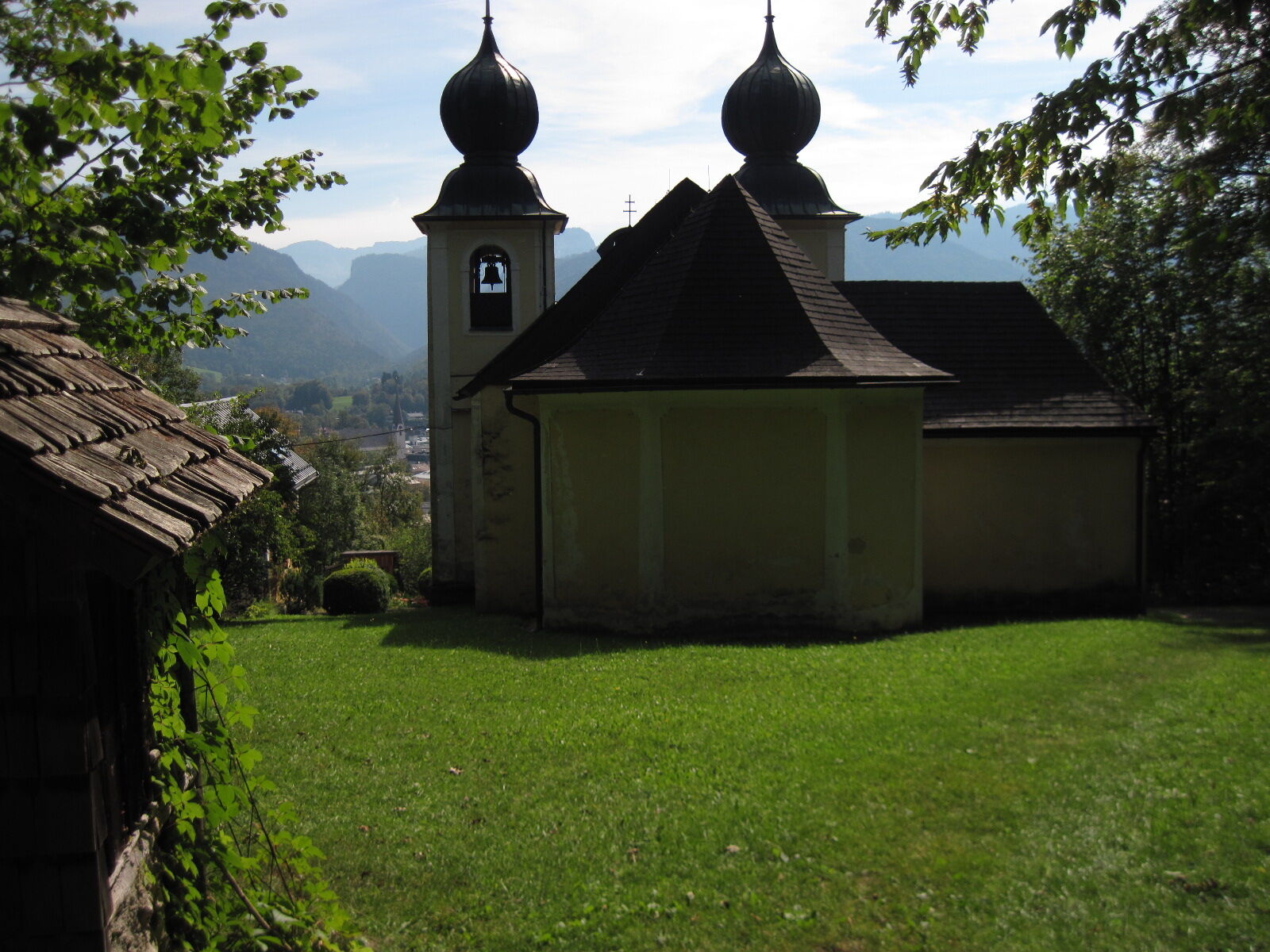
StroblPfarrkirche zum Hl. Sigismund0,1 kmBürglstein0,5 kmAigen4,5 kmWeinbach4,6 kmWindhag5,8 kmVoglhub5,8 kmGasthof zur Wacht6,8 kmLindau11,8 kmZum Pfandl12,8 kmSteinbruch14,2 kmKalvarienbergkirche14,7 kmSt. Nikolaus15,7 kmBad Ischl15,7 km
- Paras kausi
-
tammihelmimaalishuhtitoukokesäheinäelosyyslokamarrasjoulu
- Korkein kohta
- 658 m
- Kohde
-
Bad Ischl
- Korkeusprofiili
-


- Kirjoittaja
-
Kiertue BergeSeen Trail 11: Strobl - Bad Ischl käyttää outdooractive.com toimitettu.
GPS Downloads


Yleistä tietoa
Virvokepysäkki
Lupaava
Lisää retkiä alueilla
-
Salzkammergut Oberösterreich
3081
-
Bad Ischl
1646
-
Katrin-Alm
418