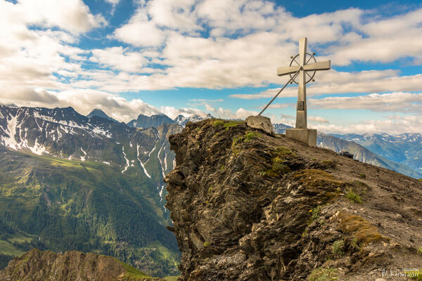

- Lyhyt kuvaus
-
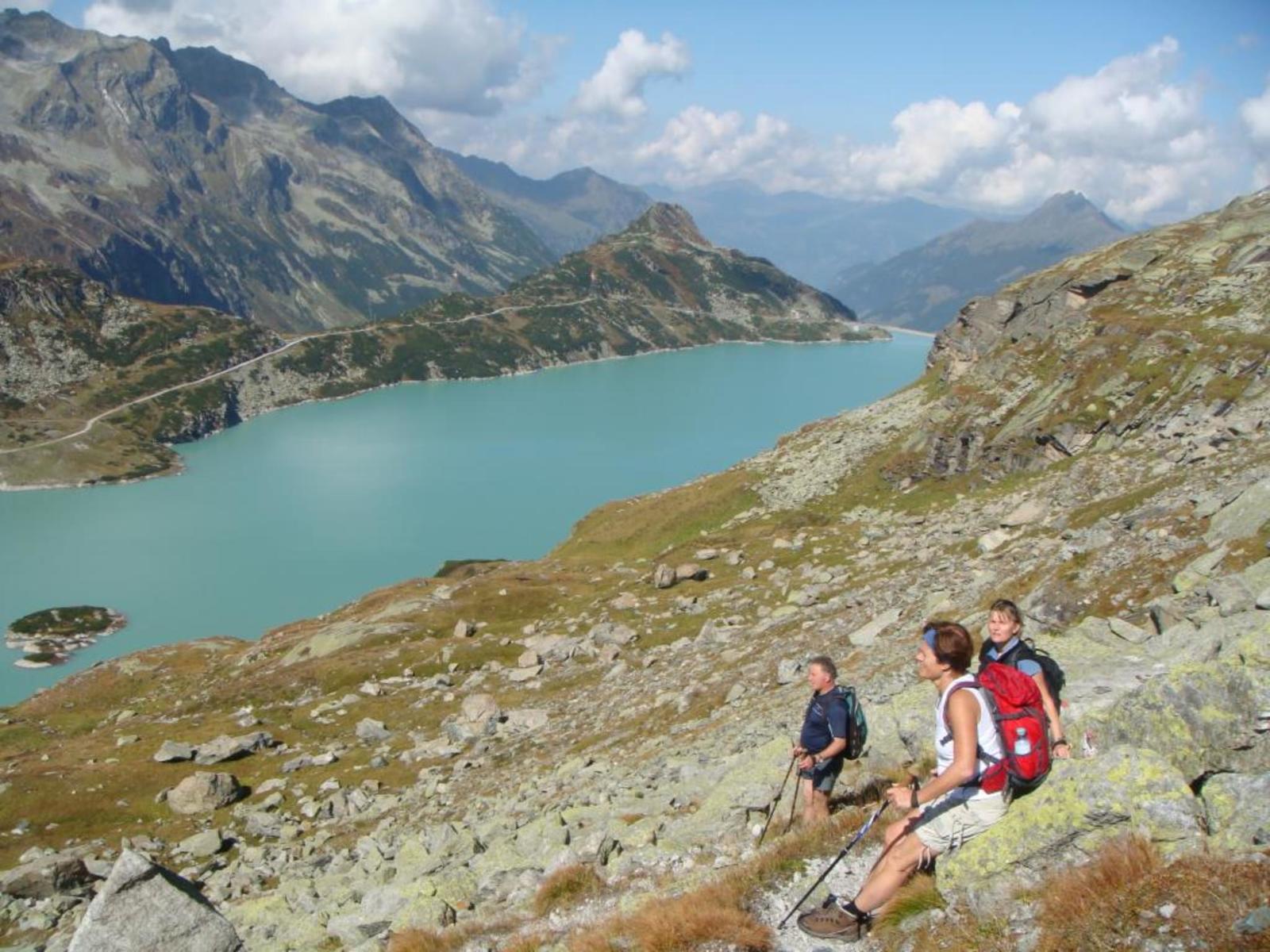
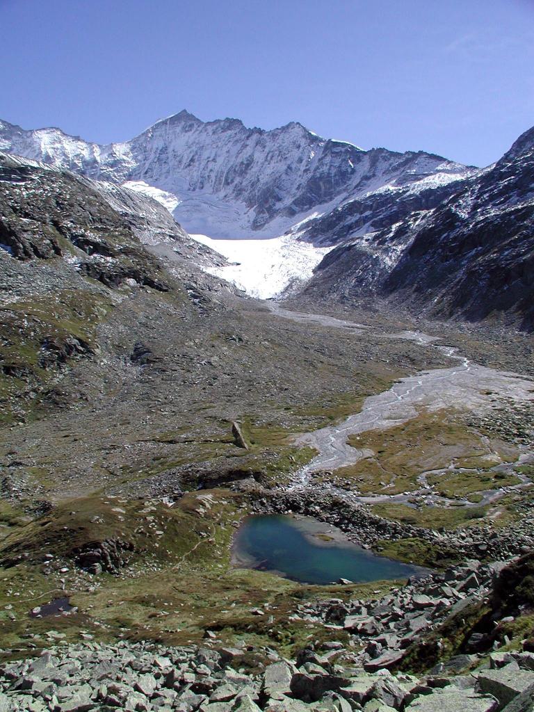
Dieser Hochgebirgswanderweg führt über die Vorfelder des Ödenwinkelkeeses zu der Zunge des Gletschers.
- Vaikeus
-
tapa
- Arviointi
-
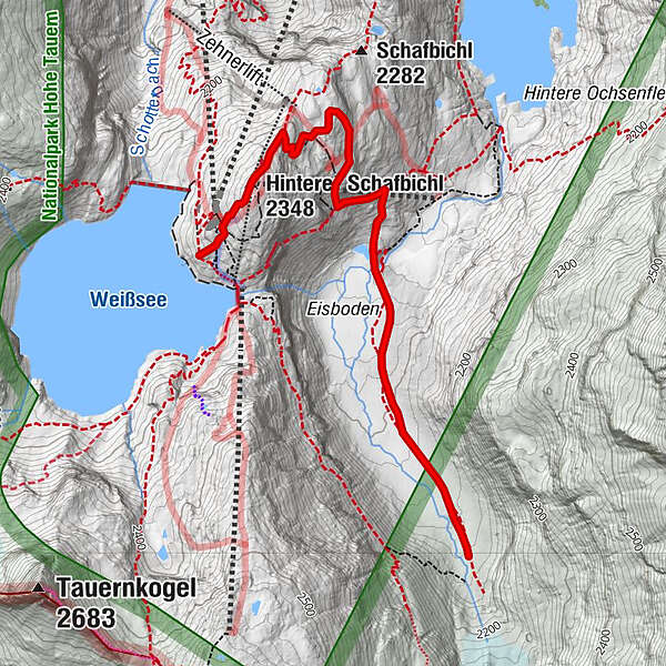
- Reitti
- Paras kausi
-
tammihelmimaalishuhtitoukokesäheinäelosyyslokamarrasjoulu
- Korkein kohta
- 2.336 m
- Kohde
-
Berghotel Rudolfshütte
- Korkeusprofiili
-

-

-
KirjoittajaKiertue Uttendorf: Gletscherweg Ödenwinkelkees käyttää outdooractive.com toimitettu.
GPS Downloads


Yleistä tietoa
Virvokepysäkki
Lupaava
Lisää retkiä alueilla