
- Lyhyt kuvaus
-
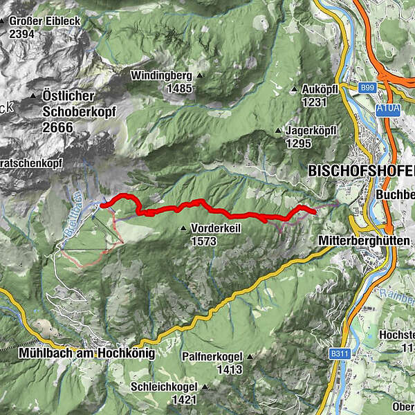
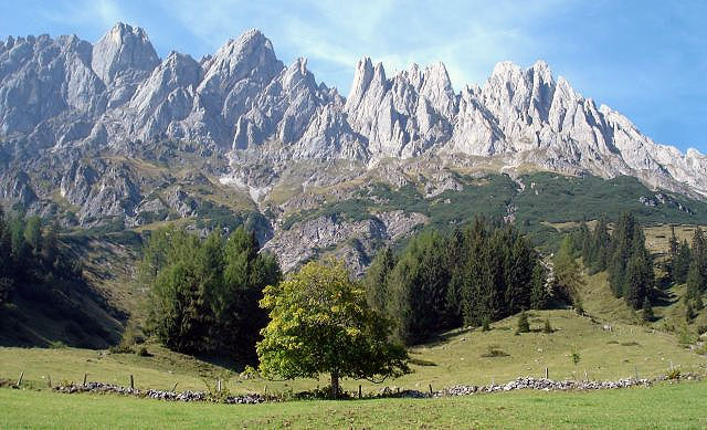
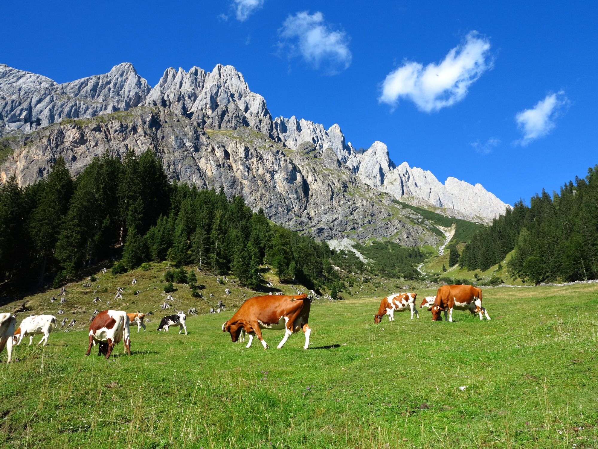
Hike along the marmot trail to Gasthof Bürglhöh and on to Bischofshofen to the ski jump area.A hardly strenuous hike for connoisseurs!
- Vaikeus
-
helppo
- Arviointi
-
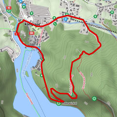
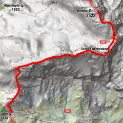
- Reitti
-
ArthurhausMitterbergsattel (1.515 m)0,2 kmGasthof Bürglhöh6,9 km
- Paras kausi
-
tammihelmimaalishuhtitoukokesäheinäelosyyslokamarrasjoulu
- Korkein kohta
- 1.518 m
- Kohde
-
Bischfoshofen
- Korkeusprofiili
-


- Kirjoittaja
-
Kiertue Arthurhaus - Bürglhöh (Bischofshofen) käyttää outdooractive.com toimitettu.
GPS Downloads


Yleistä tietoa
Virvokepysäkki
Lisää retkiä alueilla