© Vitzthum/Bergbahn Lofer
Retkitiedot
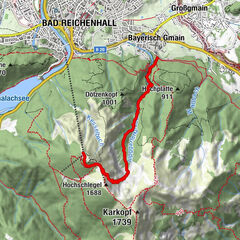
5,92km
986
- 1.382m
389hm
02:30h

- Lyhyt kuvaus
-
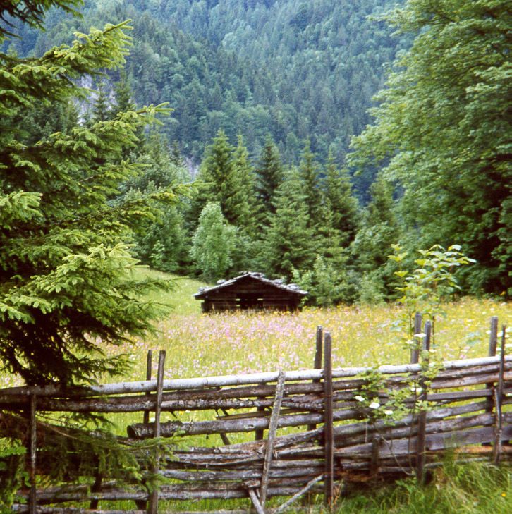
Herrliche Wasserfälle und Wassertümpel
12 Erlebnisstationen - Erlebnisweg "Auf die Alm" - Arviointi
-
- Lähtöpiste
-
Bergstation Loferer Alm-Bahn I
- Reitti
-
LoderbichlAlmbahn I (1.000 m)0,0 kmAlmbahn II (1.000 m)0,1 kmBerghotel Haus Gertraud2,9 kmSoderkaser3,2 kmWasserspielplatz3,2 kmFamily Express3,3 kmHasnstall Après-Ski Bar5,0 kmNachbaralm5,0 kmLoderbichl5,8 km
- Korkein kohta
- 1.382 m
- Lepo/Retriitti
-
Loderbichl - 1000m / Bergstation Loferer Alm-Bahn I
Soderkaser und Haus Gertraud - 1385m / Loferer Alm - Karttamateriaali
-
Infomaterial wird gerne zugesandt
GPS Downloads


Polun olosuhteet
Asfaltti
Sora
Niitty
Metsä
Kallio
Altistettu
Lisää retkiä alueilla