© Fuschlseetourismus - Wolfgang Kinz
© ©skyblue salzburg - Wolfgang Kinz
- Lyhyt kuvaus
-
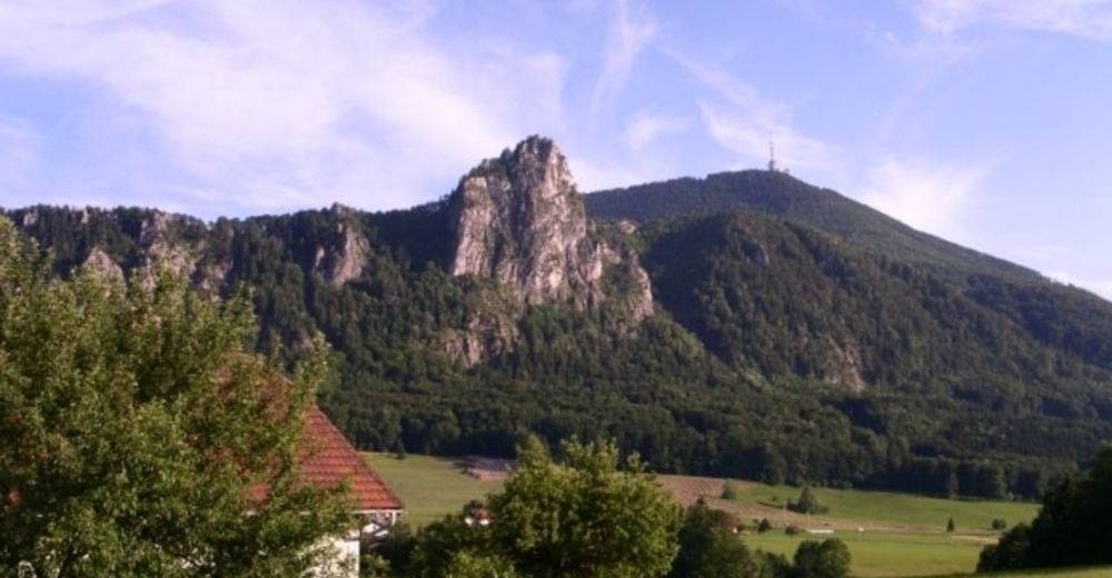
Landschaftlich schöne Runde mit einigen anspruchsvollen Auf- und Abstiegen
- Vaikeus
-
tapa
- Arviointi
-
- Reitti
-
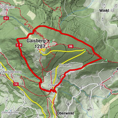
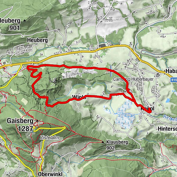
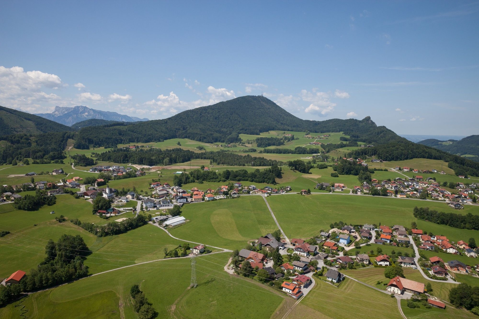
Kirchenwirt0,1 kmKoppl (755 m)0,2 kmAntoniuskapelle1,2 kmWinkl2,4 kmEggerl9,2 kmKoppl (755 m)10,1 kmKirchenwirt10,4 km
- Paras kausi
-
tammihelmimaalishuhtitoukokesäheinäelosyyslokamarrasjoulu
- Korkein kohta
- 978 m
- Kohde
-
Dorfzentrum Koppl
- Korkeusprofiili
-

-

-
KirjoittajaKiertue Nocksteinschlucht Rundwanderweg in Koppl käyttää outdooractive.com toimitettu.
GPS Downloads


Yleistä tietoa
Virvokepysäkki
Lisää retkiä alueilla
-
Stadt Salzburg & Umgebung
1490
-
Koppl
489