- Lyhyt kuvaus
-
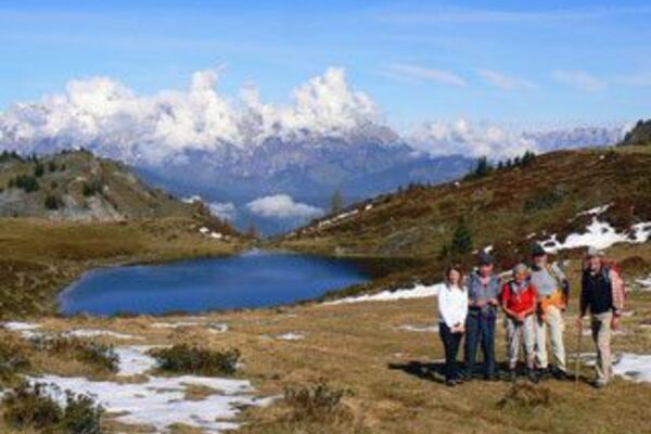
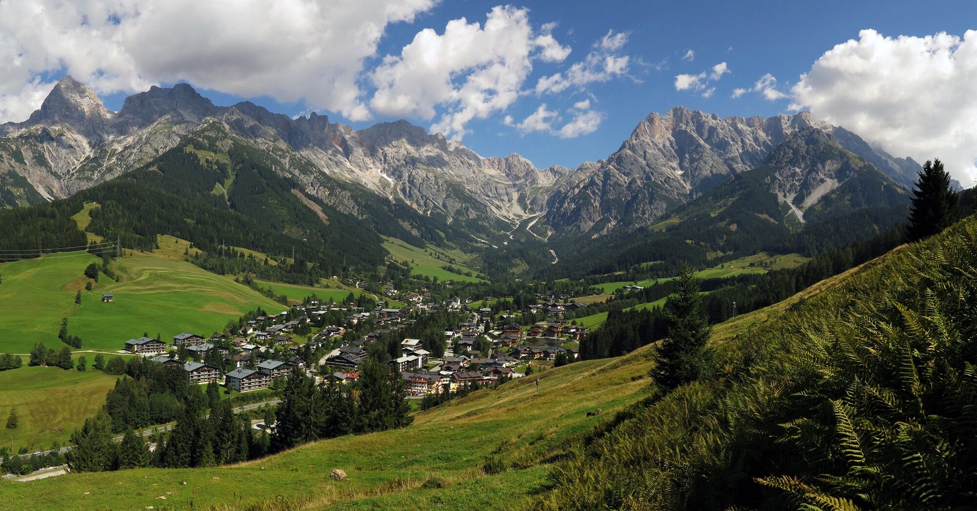
Leisurely circular hike from Hinterthal to the Hochmais.
- Vaikeus
-
tapa
- Arviointi
-
- Reitti
-
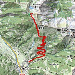
Kath. Pfarrkirche hl. DreifaltigkeitHinterthal0,1 kmHochmaisalm3,8 kmSINALCObahn5,2 kmGabühel (1.632 m)5,2 kmHochmais5,3 kmSteinbockalm5,3 kmGabühelhutte5,8 kmHinterthal10,9 kmKath. Pfarrkirche hl. Dreifaltigkeit11,0 km
- Paras kausi
-
tammihelmimaalishuhtitoukokesäheinäelosyyslokamarrasjoulu
- Korkein kohta
- 1.624 m
- Kohde
-
Hinterthal church
- Korkeusprofiili
-


- Kirjoittaja
-
Kiertue Alpine pasture and hut hike Hinterthal käyttää outdooractive.com toimitettu.
GPS Downloads


Yleistä tietoa
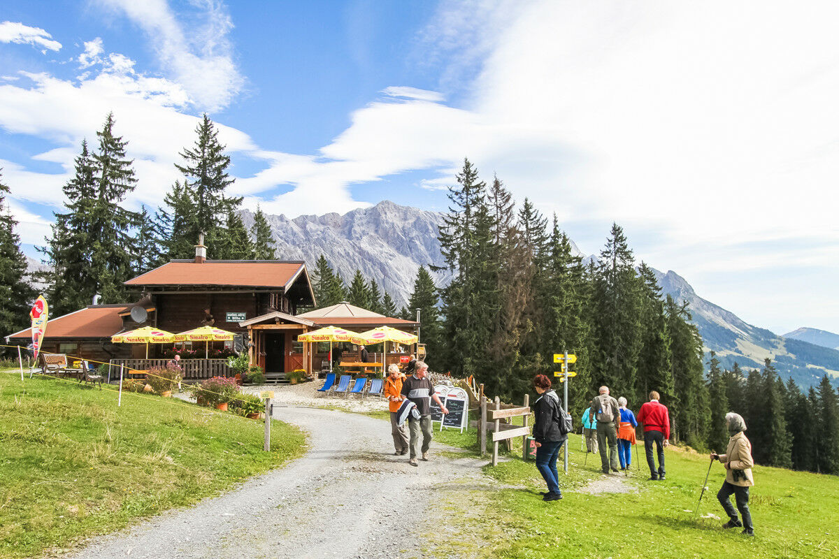
Virvokepysäkki
Flora
Lupaava
Lisää retkiä alueilla
-
Hochkönig
2016
-
Dienten am Hochkönig
536