


- Lyhyt kuvaus
-
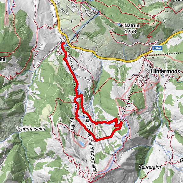
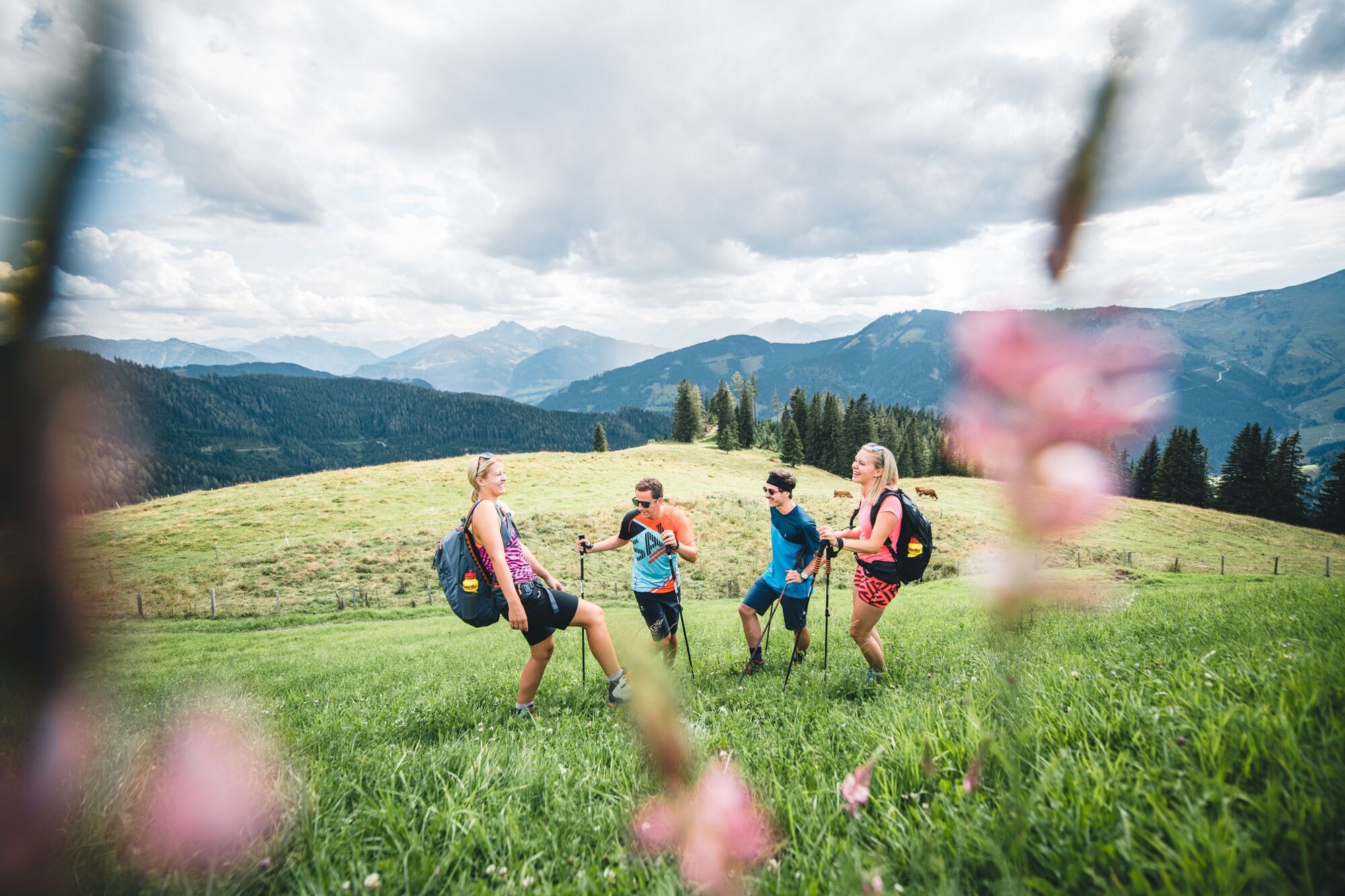
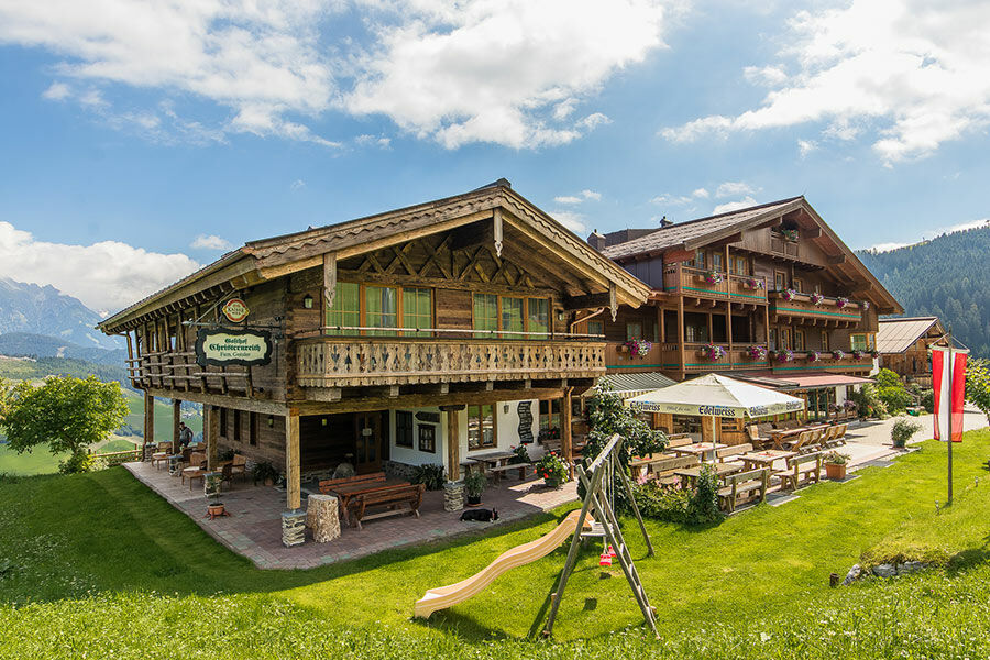
This beautiful hike leads from Unterberg via the mountain inn Christernreith and on via the Thoraualm to the Wastlalm.
- Vaikeus
-
tapa
- Arviointi
-
- Reitti
-
Schönanger1,1 kmSchönanger2,4 kmAbergalm3,5 kmKröllalm4,8 kmAbergalm5,9 kmChristernreith6,6 kmSchönanger7,5 kmChristernreith10,6 kmAbergalm11,3 kmKröllalm12,4 km
- Paras kausi
-
tammihelmimaalishuhtitoukokesäheinäelosyyslokamarrasjoulu
- Korkein kohta
- 1.457 m
- Kohde
-
Unterberg - Aberg Ski Centre
- Korkeusprofiili
-


- Kirjoittaja
-
Kiertue Hike via the Berggasthof Christernreith to the Wastlalm käyttää outdooractive.com toimitettu.
GPS Downloads


Yleistä tietoa
Virvokepysäkki
Lupaava


