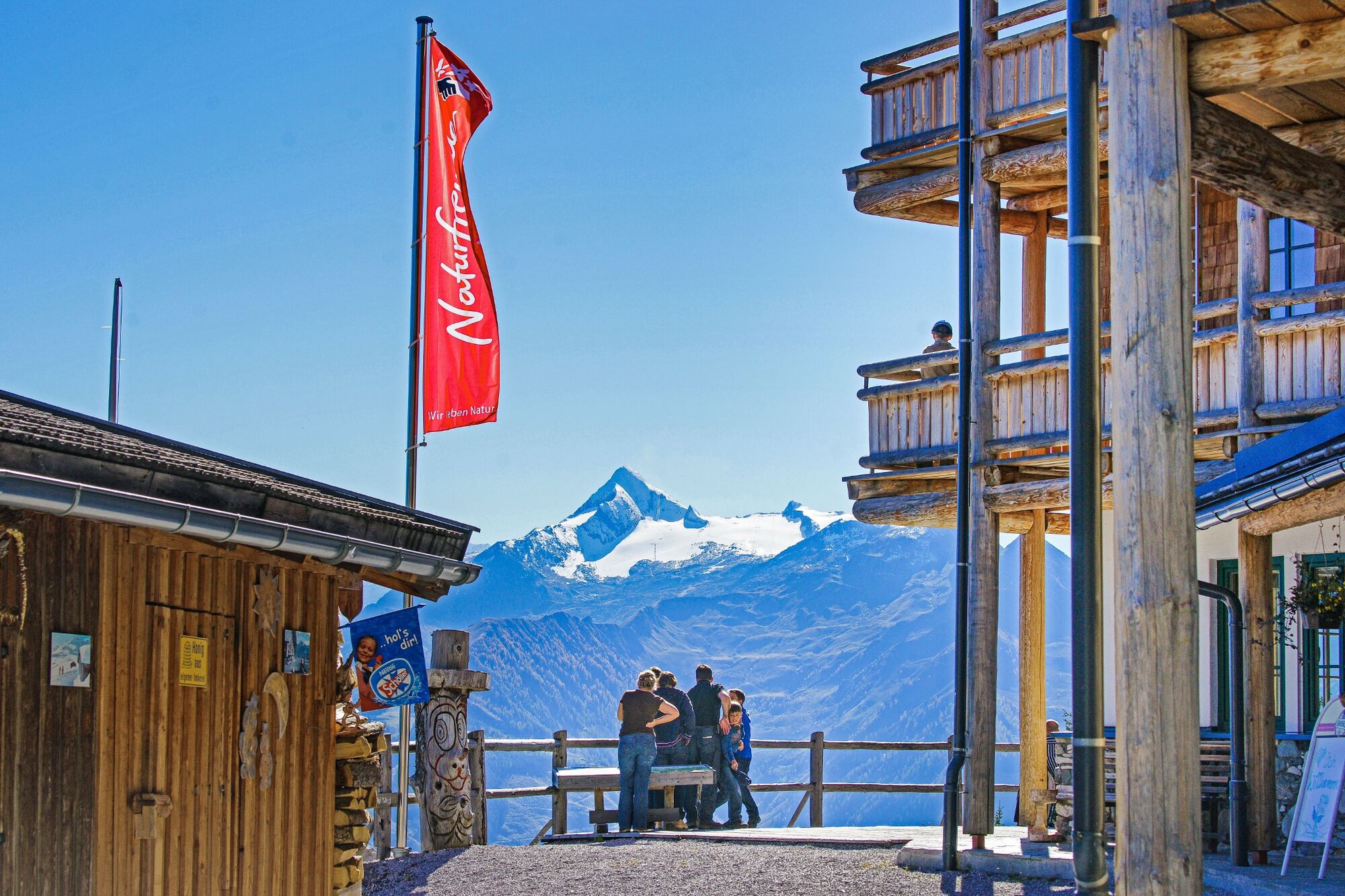
© Piesendorf Niedernsill - Harry Liebmann

© Piesendorf Niedernsill - Harry Liebmann
- Lyhyt kuvaus
-
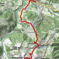
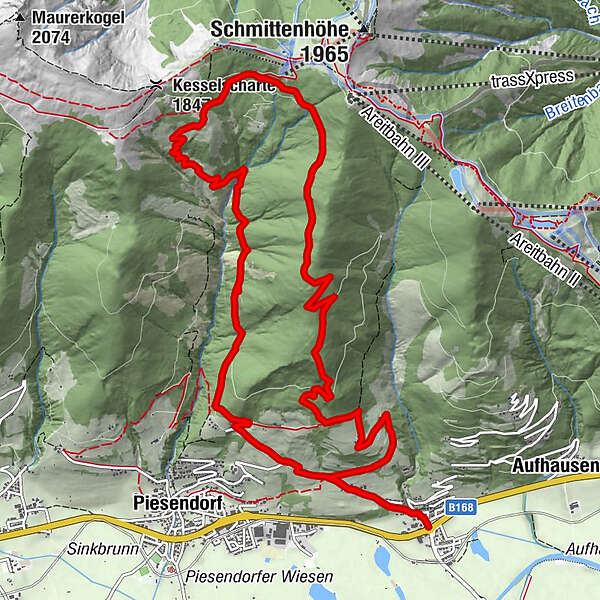
A good 1,000 metres of altitude difference are overcome on the hike to the Pinzgauer Hütte from Fürth.
- Vaikeus
-
tapa
- Arviointi
-
- Reitti
-
Gasthaus Matzen0,0 kmFürth0,2 kmPinzgauer Hütte8,4 kmFürth15,0 kmGasthaus Matzen15,1 km
- Paras kausi
-
tammihelmimaalishuhtitoukokesäheinäelosyyslokamarrasjoulu
- Korkein kohta
- 1.726 m
- Kohde
-
Fürth
- Korkeusprofiili
-


- Kirjoittaja
-
Kiertue Piesendorf / Fürth: Pinzgauer Hütte käyttää outdooractive.com toimitettu.
GPS Downloads


Yleistä tietoa
Virvokepysäkki
Flora
Fauna
Lupaava
Lisää retkiä alueilla
-
Zell am See - Kaprun
1504
-
Schmittenhöhe
522