- Lyhyt kuvaus
-
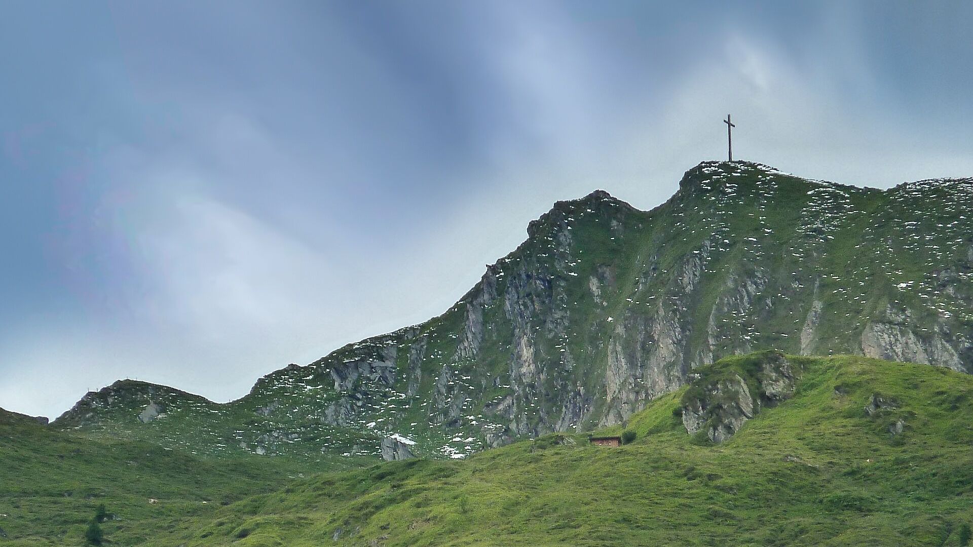
Enjoy the scenic landscape and discover the fauna and flora in the mountains. The day hike with summit experience rewards you with a view of a special kind.
- Vaikeus
-
tapa
- Arviointi
-
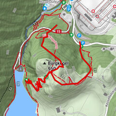
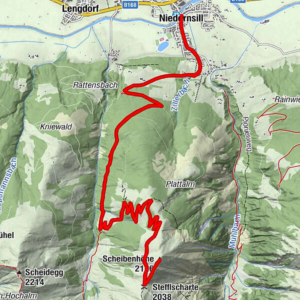
- Reitti
-
Niedernsill0,1 kmPfarrkirche hl. Luzia0,1 kmCafe Zur Pinzgauerin0,4 kmStefflscharte (2.038 m)11,0 kmScheibenhöhe (2.126 m)11,6 kmCafe Zur Pinzgauerin22,6 kmPfarrkirche hl. Luzia22,8 kmNiedernsill23,1 km
- Paras kausi
-
tammihelmimaalishuhtitoukokesäheinäelosyyslokamarrasjoulu
- Korkein kohta
- 2.116 m
- Kohde
-
Hiking info point Niedernsill
- Korkeusprofiili
-

-

-
KirjoittajaKiertue Niedernsill: Scheibenhöhe käyttää outdooractive.com toimitettu.
GPS Downloads


Yleistä tietoa
Flora
Fauna
Lupaava
Lisää retkiä alueilla