© © Schmittenhöhebahn AG

© © Schmittenhöhebahn AG
- Lyhyt kuvaus
-
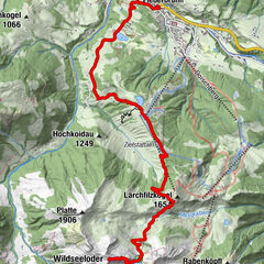
The Schmitten is one of the most beautiful viewing mountains, offering a 360° panoramic view of the surrounding Kitzbühel Alps.
- Vaikeus
-
tapa
- Arviointi
-
- Reitti
-
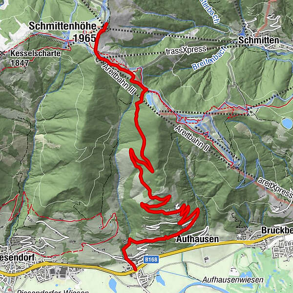
Gasthaus Matzen0,0 kmFürth0,2 kmAufhausen1,9 kmDürnberg2,7 kmtrassXpress9,8 kmpanorama Restaurant am Berg9,8 kmElisabeth-Kapelle10,3 kmSchmittenhöhe (1.965 m)10,5 kmBerghotel Schmittenhöhe10,5 km
- Paras kausi
-
tammihelmimaalishuhtitoukokesäheinäelosyyslokamarrasjoulu
- Korkein kohta
- 1.950 m
- Kohde
-
Schmittenhöhe Zell am See
- Korkeusprofiili
-


-

-
KirjoittajaKiertue Piesendorf Fürth/Aufhausen: Schmittenhöhe käyttää outdooractive.com toimitettu.
GPS Downloads


Yleistä tietoa
Virvokepysäkki
Flora
Fauna
Lupaava
Lisää retkiä alueilla
-
Zell am See - Kaprun
1504
-
Schmittenhöhe
522