© helmuterwinpeter - H.E.P.

© helmuterwinpeter - H.E.P.

© helmuterwinpeter - H.E.P.

© helmuterwinpeter - H.E.P.

© helmuterwinpeter - H.E.P.

© helmuterwinpeter - H.E.P.

© helmuterwinpeter - H.E.P.

© helmuterwinpeter - H.E.P.

© helmuterwinpeter - H.E.P.

© helmuterwinpeter - H.E.P.
Retkitiedot
10,16km
491
- 604m
172hm
173hm
02:32h
- Lyhyt kuvaus
-
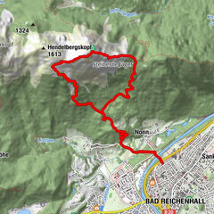
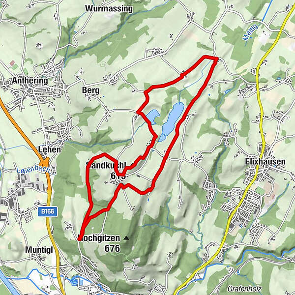
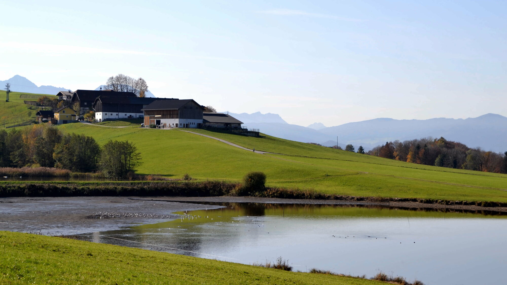
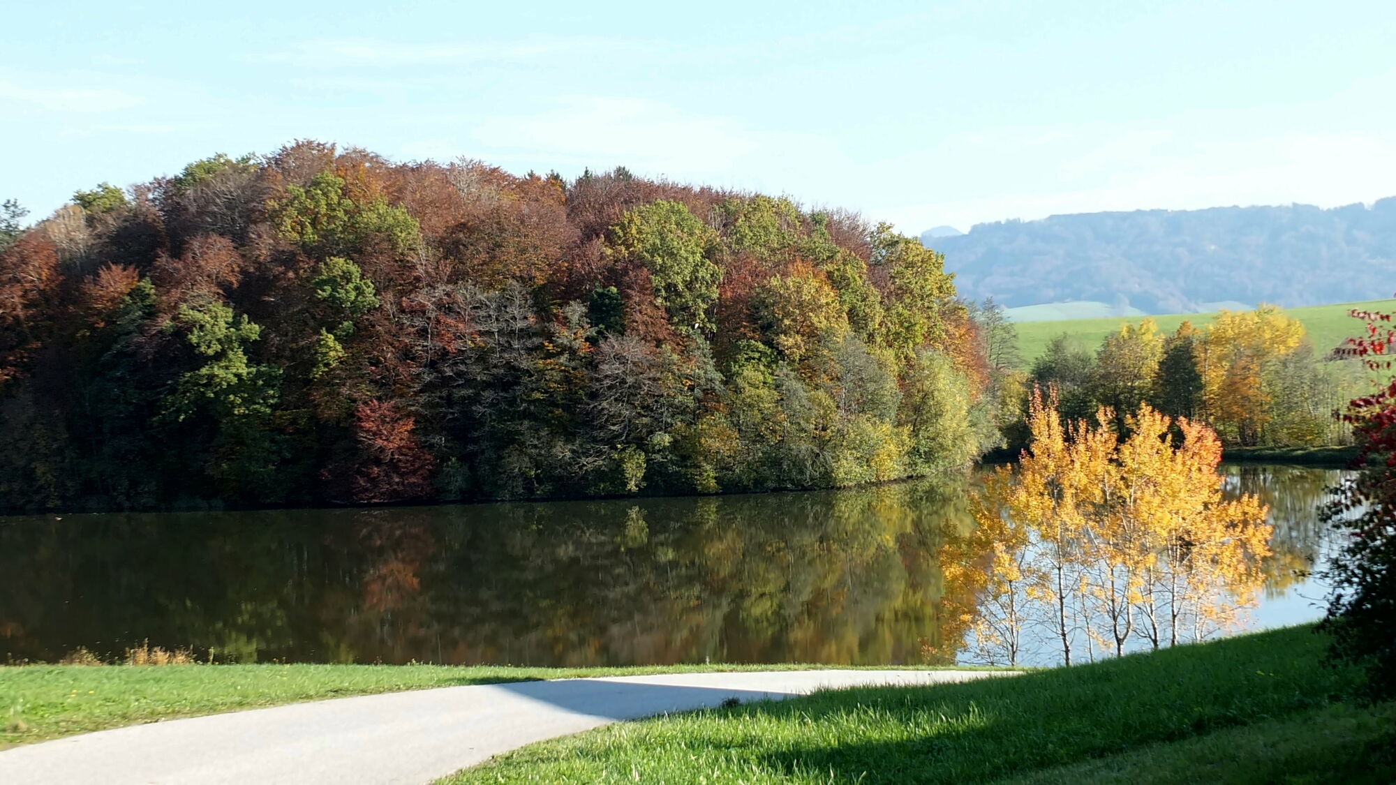
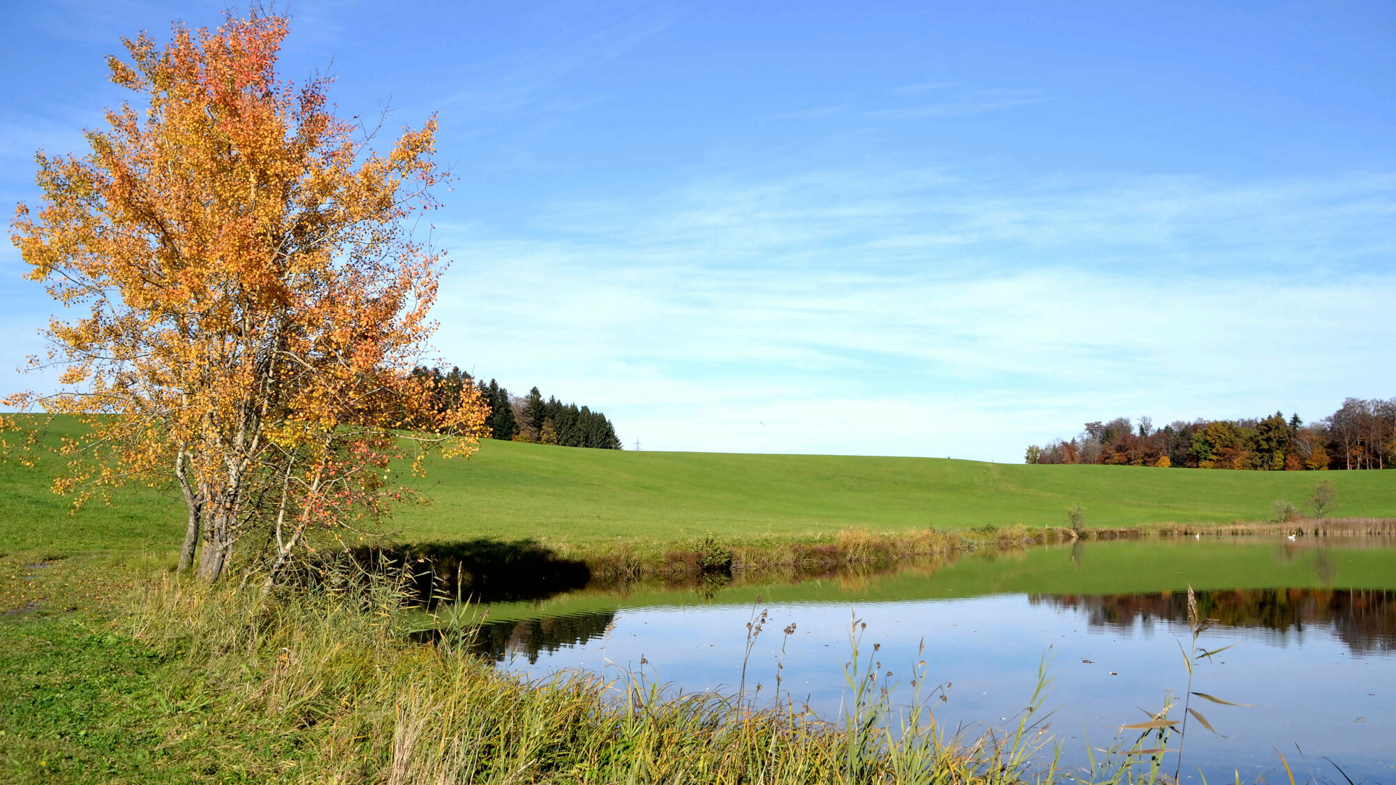
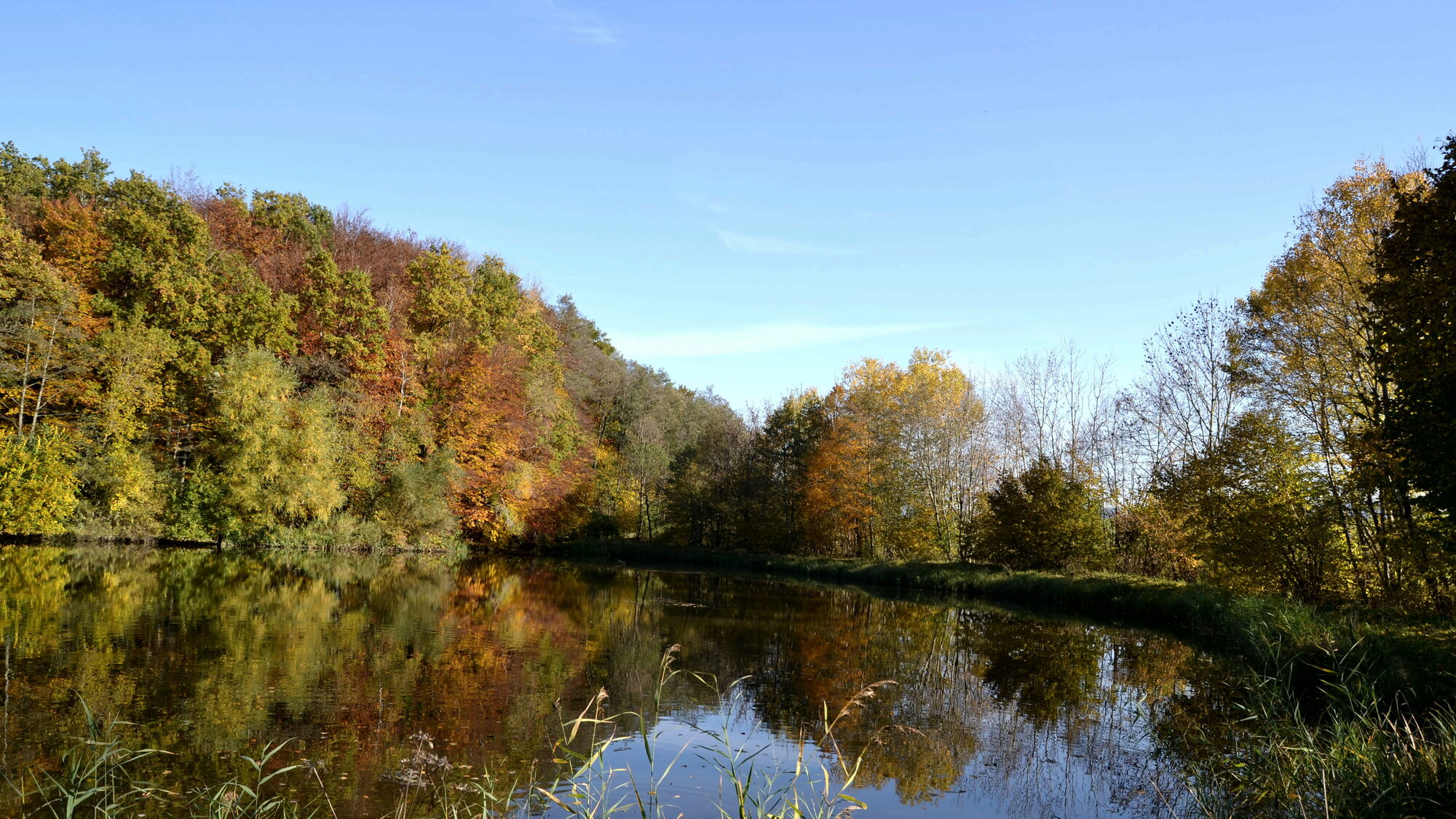
Von Kerath über Voggenberg bis Hained und um den Ragginger und den Luginger See zurück nach Kerath
- Vaikeus
-
helppo
- Arviointi
-
- Lähtöpiste
-
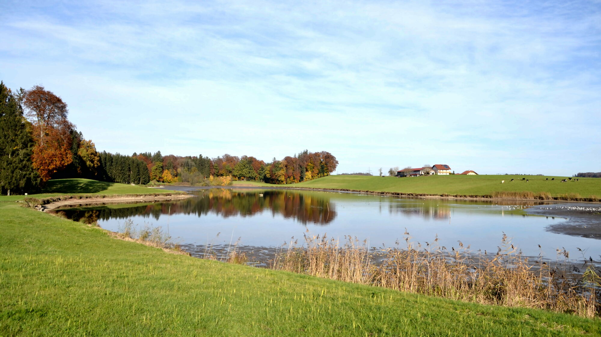
Kerathteich
- Reitti
-
Voggenberg1,2 kmRagging3,3 kmHained4,3 kmGaspading4,9 kmReitbach6,4 kmWinding7,1 kmLandgasthaus Windinggut7,1 kmSandkuchl (588 m)7,6 kmVoggenberg7,9 kmHolzbauer8,7 kmHolzbauerkapelle8,7 km
- Paras kausi
-
tammihelmimaalishuhtitoukokesäheinäelosyyslokamarrasjoulu
- Korkein kohta
- 604 m
- Kohde
-
Kerathteich


- Lähde
- helmuterwinpeter
GPS Downloads


Polun olosuhteet
Asfaltti
Sora
Niitty
Metsä
Kallio
Altistettu
Lisää retkiä alueilla
-
Stadt Salzburg & Umgebung
1488
-
Anthering
271