© Salzburger Saalachtal Tourismus - Maximilian Nikelski
© Salzburger Saalachtal Tourismus - Maximilian Nikelski
© Salzburger Saalachtal Tourismus - Maximilian Nikelski
© Salzburger Saalachtal Tourismus - Maximilian Nikelski
© Salzburger Saalachtal Tourismus - Maximilian Nikelski

© Salzburger Saalachtal Tourismus - Maximilian Nikelski
- Lyhyt kuvaus
-
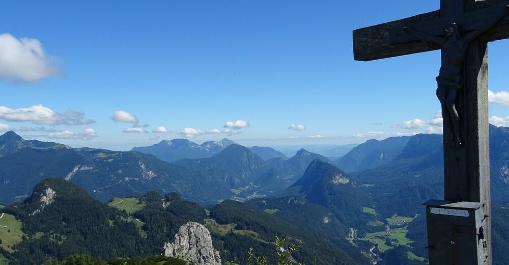
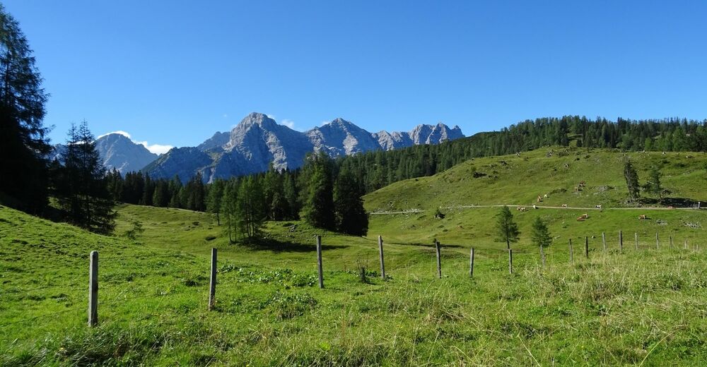
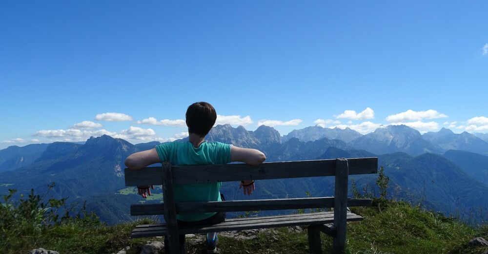
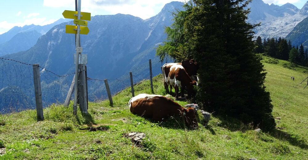
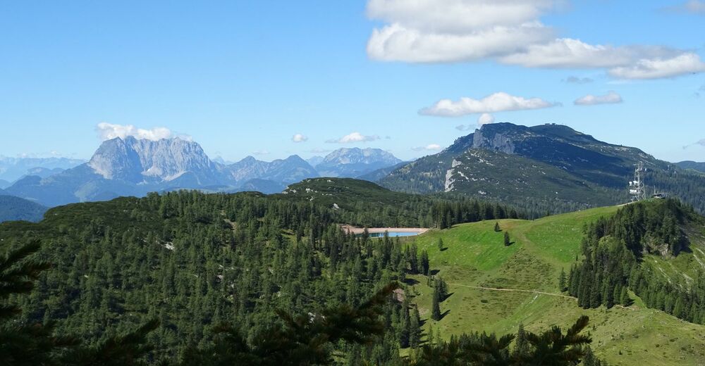
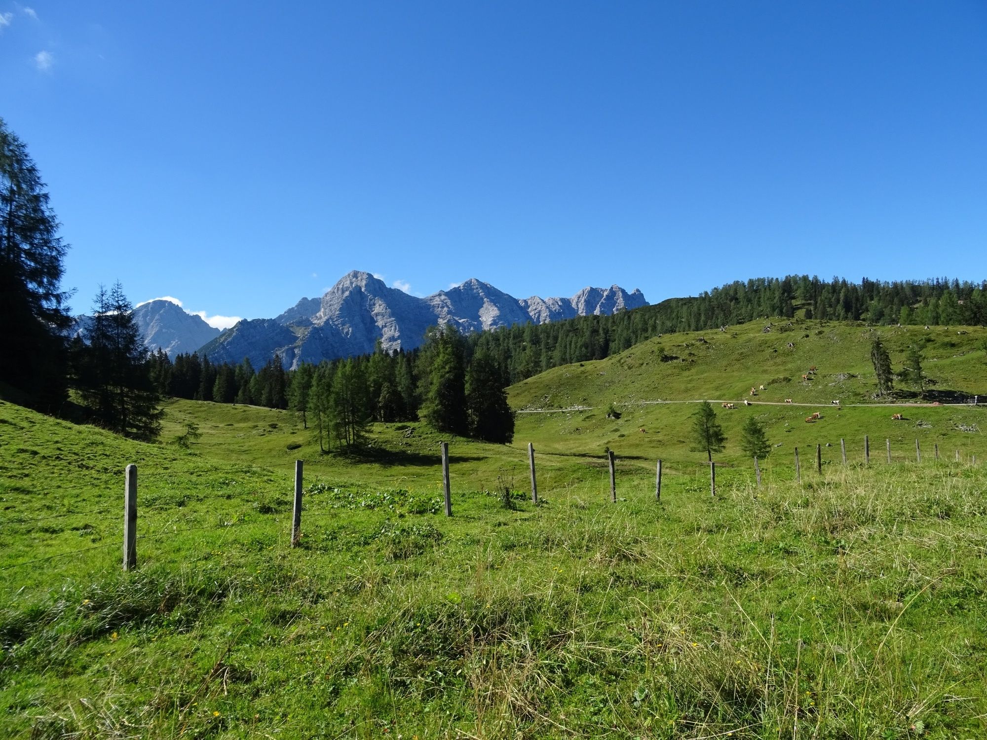
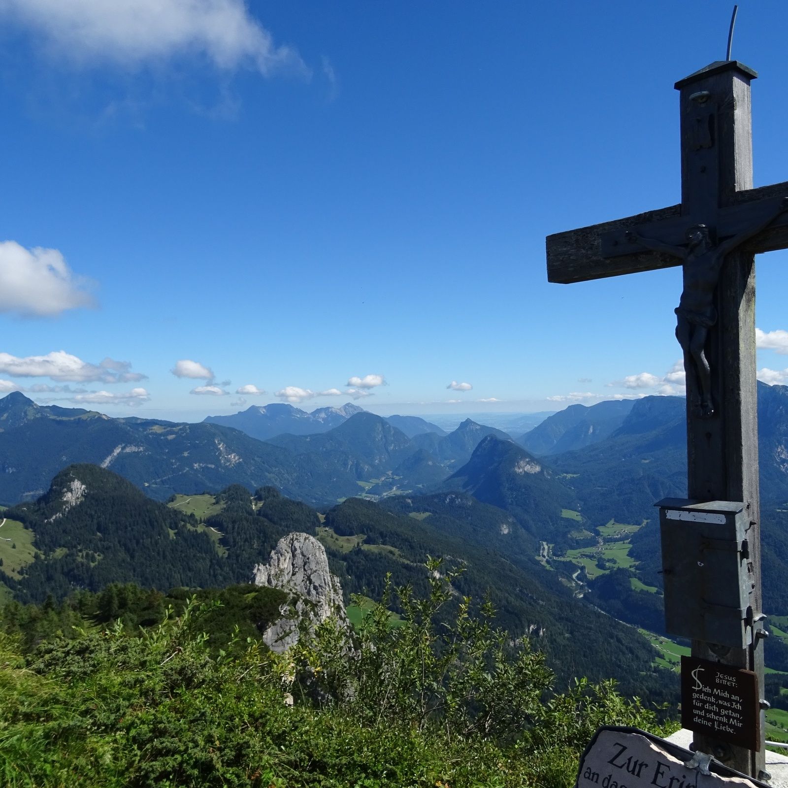
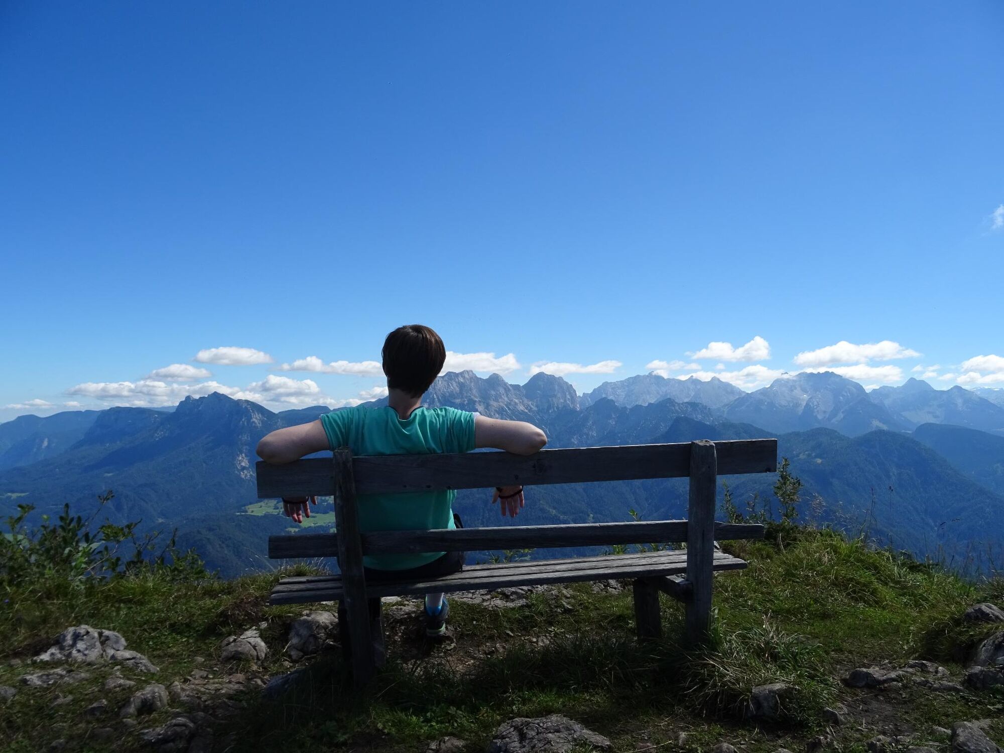
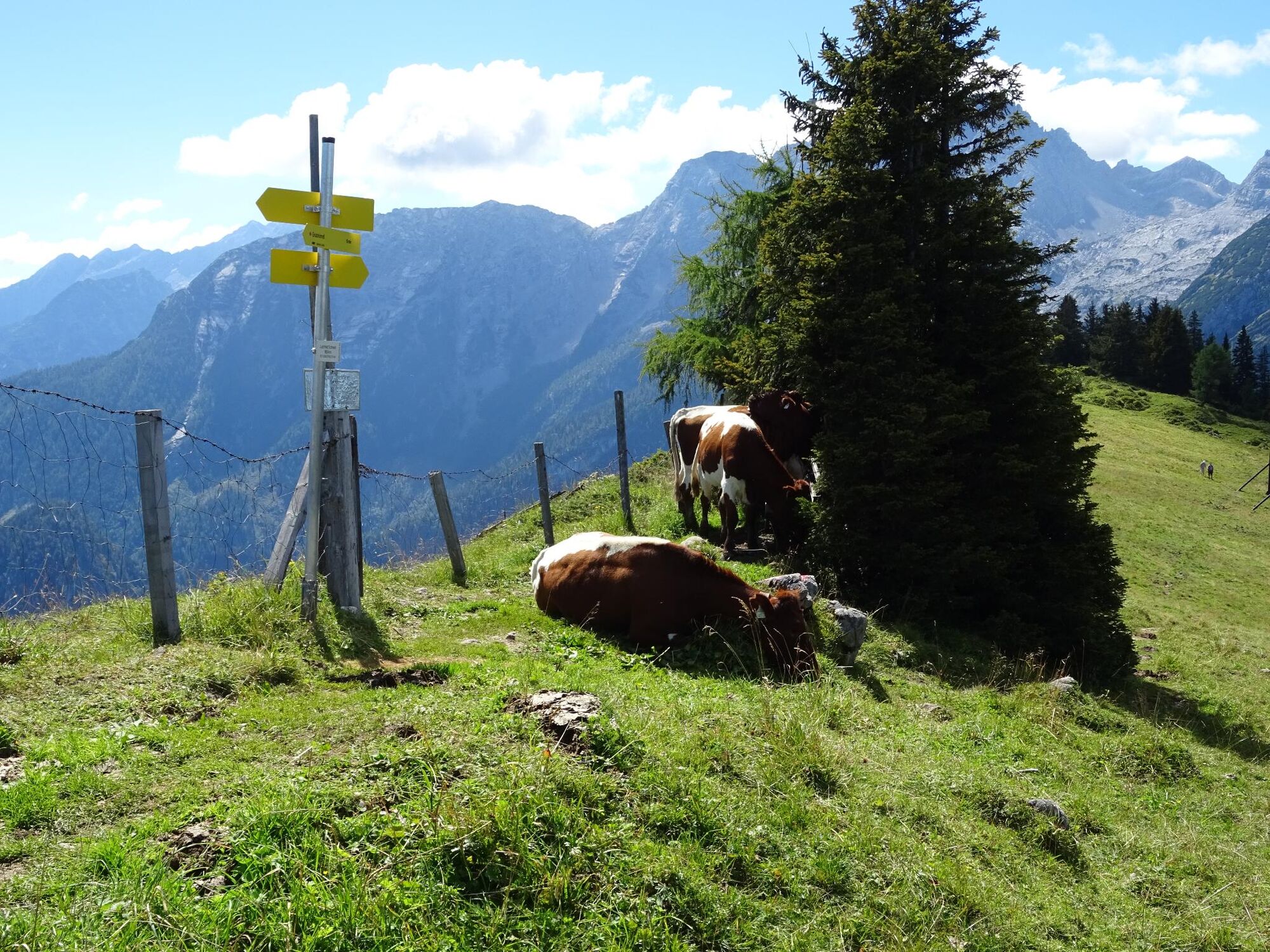
A challenging and varied circular tour across the alpine pastures in Lofer with a summit ascent and stunning panoramic views.
- Vaikeus
-
tapa
- Arviointi
-
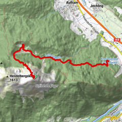
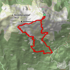
- Reitti
-
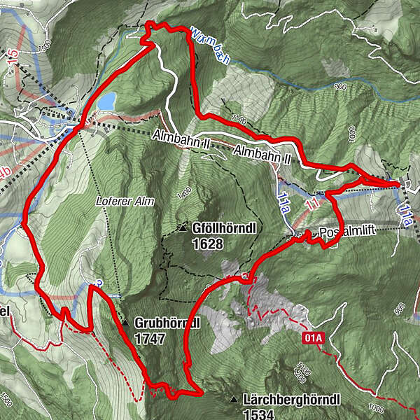
Bräugföllalm (1.365 m)1,6 kmGrubhörndl (1.747 m)3,4 kmBimalm6,7 km
- Paras kausi
-
tammihelmimaalishuhtitoukokesäheinäelosyyslokamarrasjoulu
- Korkein kohta
- 1.727 m
- Kohde
-
Middle station Loferer Alm Bahnen (Loderbichl)
- Korkeusprofiili
-


-

-
KirjoittajaKiertue From Loderbichl to the Grubhörndl in the Almenwelt Lofer käyttää outdooractive.com toimitettu.
GPS Downloads


Yleistä tietoa
Virvokepysäkki
Lupaava
Lisää retkiä alueilla