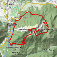
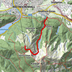
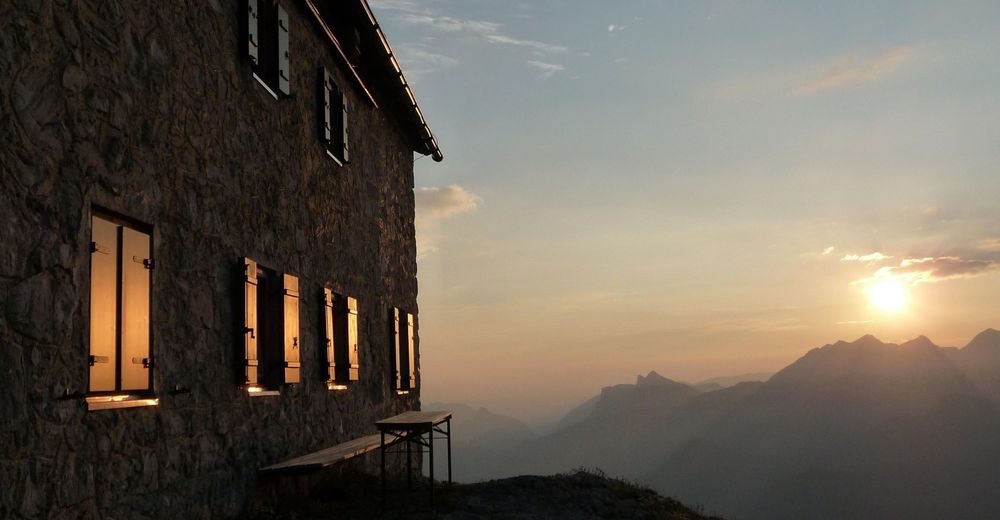
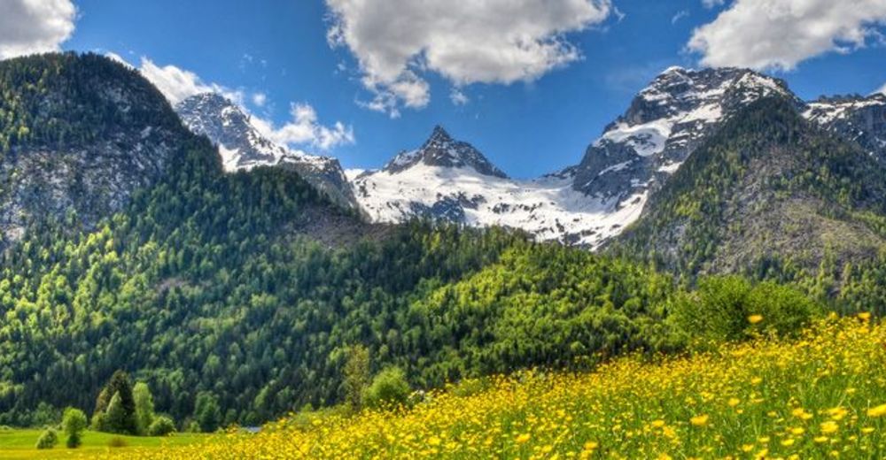
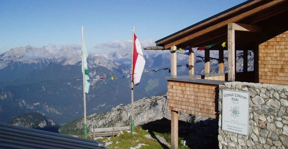
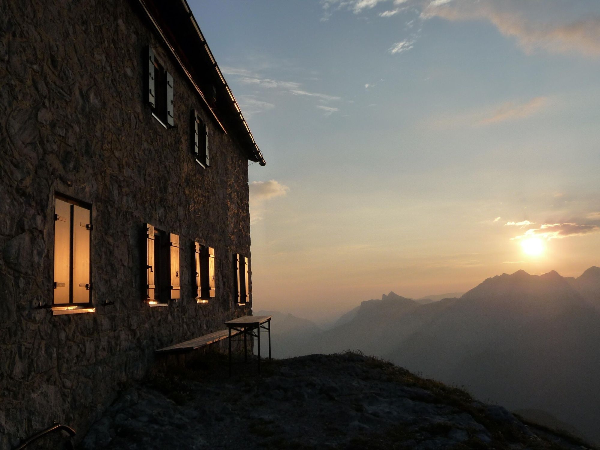
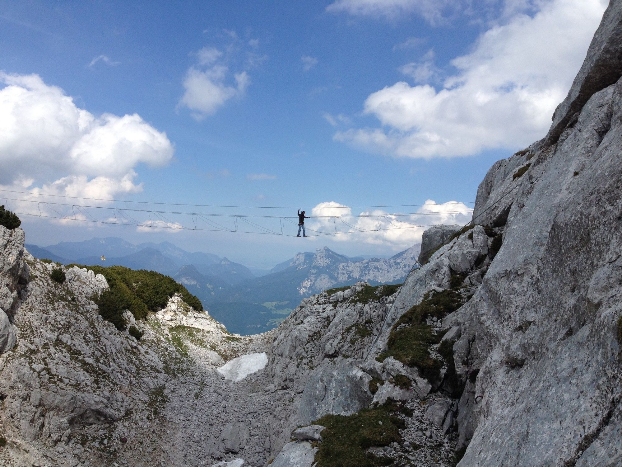
Hike from the Loferer Hochtal to the Schmidt-Zabierow-Hütte (1966m)

© Salzburger Saalachtal Tourismus - Andrea Posch
© Salzburger Saalachtal Tourismus - Maximilian Nikelski
© Salzburger Saalachtal Tourismus - Andrea Posch
© Salzburger Saalachtal Tourismus - Andrea Posch
- Lyhyt kuvaus
-
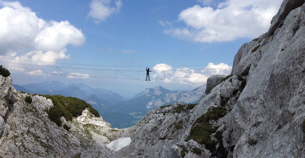
A scenic and challenging hike from Lofer in Salzburger Saalachtal Valley to the Schmidt-Zabierow Hut in the Loferer Steinberge mountains.
- Vaikeus
-
tapa
- Arviointi
-
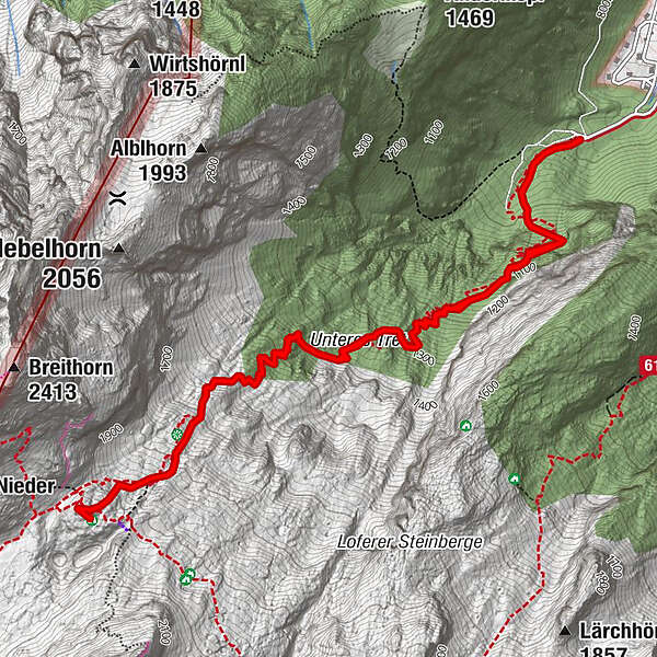
- Reitti
-
Erstes Wasser1,0 kmZweites Wasser1,9 kmKapplhöhle2,9 kmSchmidt-Zabierow Hütte3,7 kmNamenloses Loch3,8 kmWalter-Schweitzer-Biwak3,9 kmZweites Wasser5,7 kmErstes Wasser6,5 km
- Paras kausi
-
tammihelmimaalishuhtitoukokesäheinäelosyyslokamarrasjoulu
- Korkein kohta
- 1.952 m
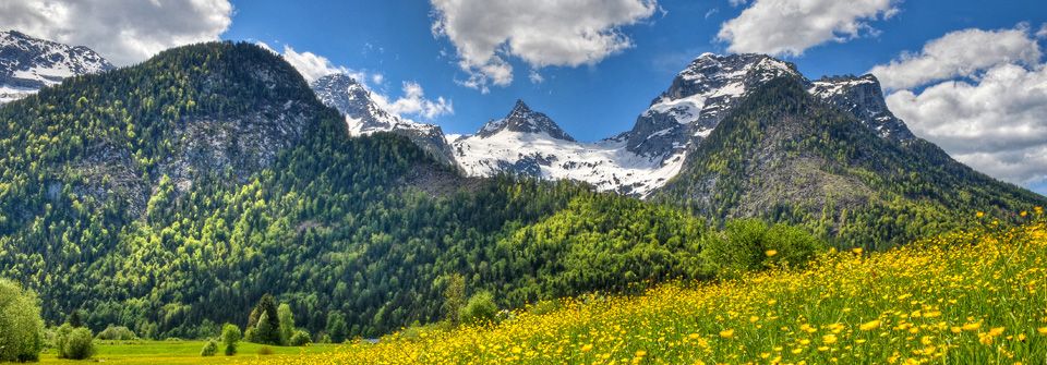
- Kohde
-
Loferer Hochtal
- Korkeusprofiili
-


-

-
KirjoittajaKiertue Hike from the Loferer Hochtal to the Schmidt-Zabierow-Hütte (1966m) käyttää outdooractive.com toimitettu.
GPS Downloads


Yleistä tietoa
Virvokepysäkki
Kulttuuri/Historiallinen
Lupaava
Lisää retkiä alueilla