- Lyhyt kuvaus
-
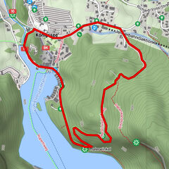
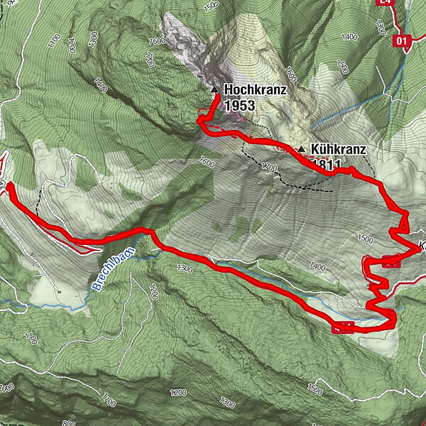
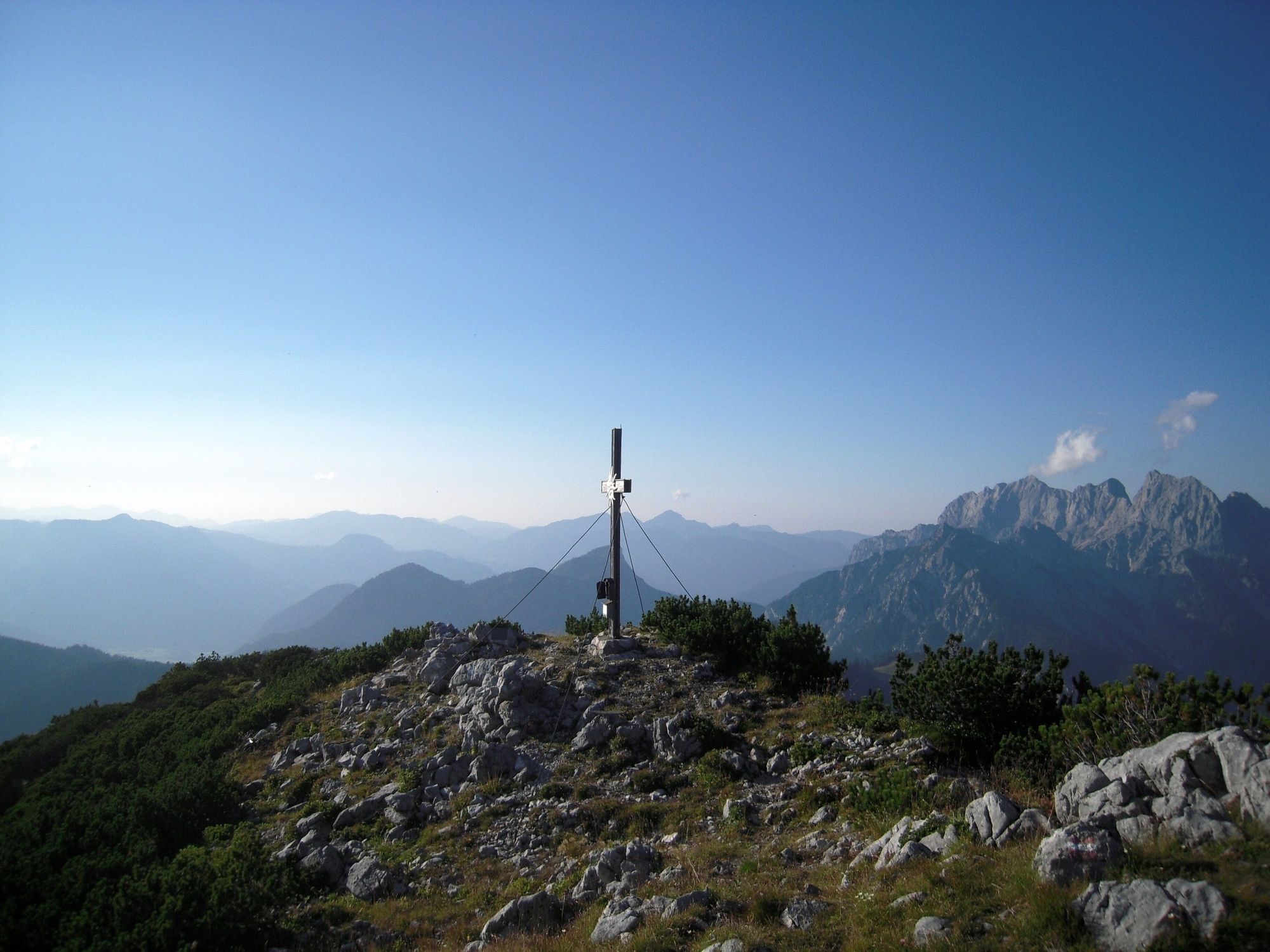
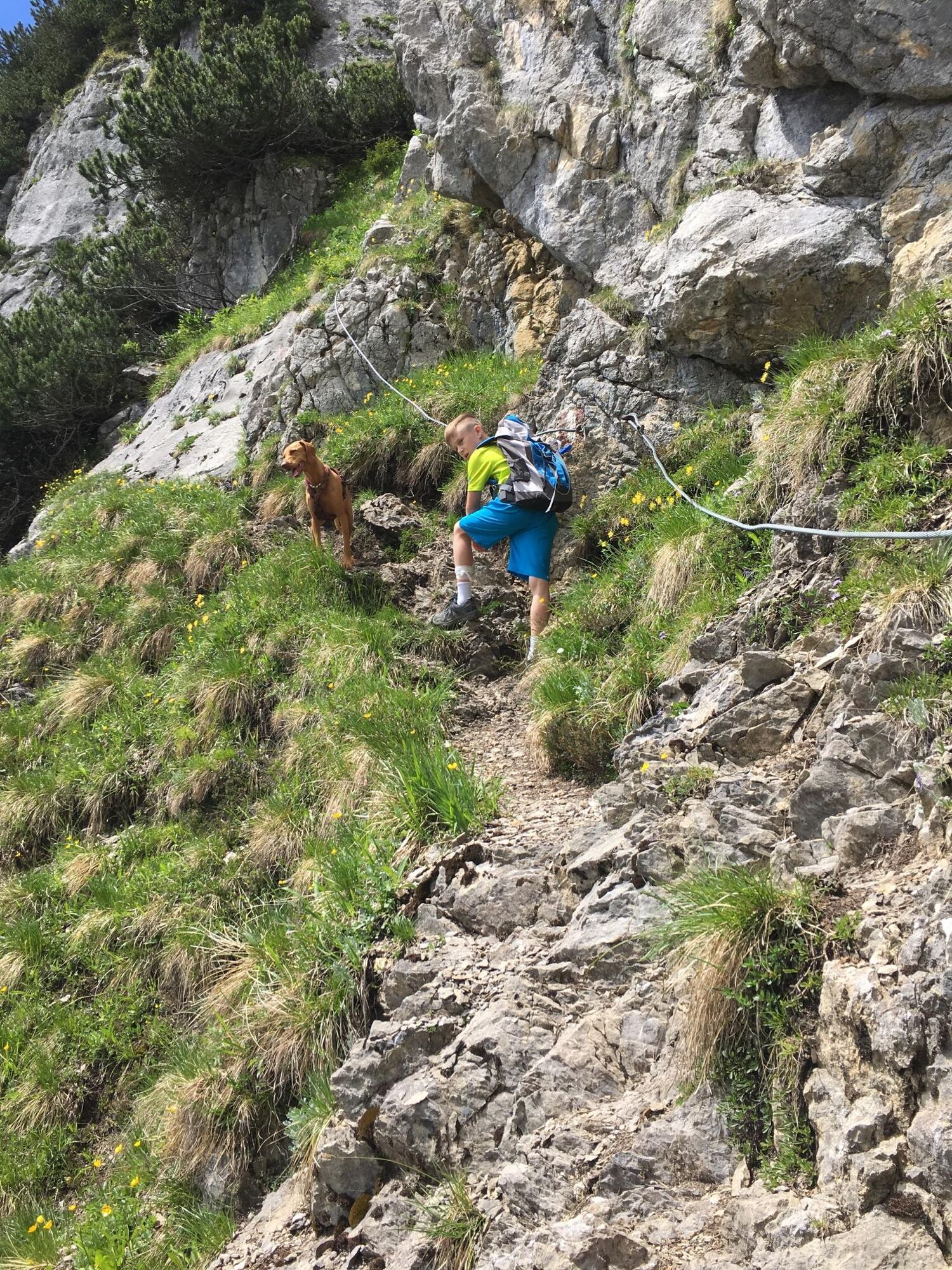
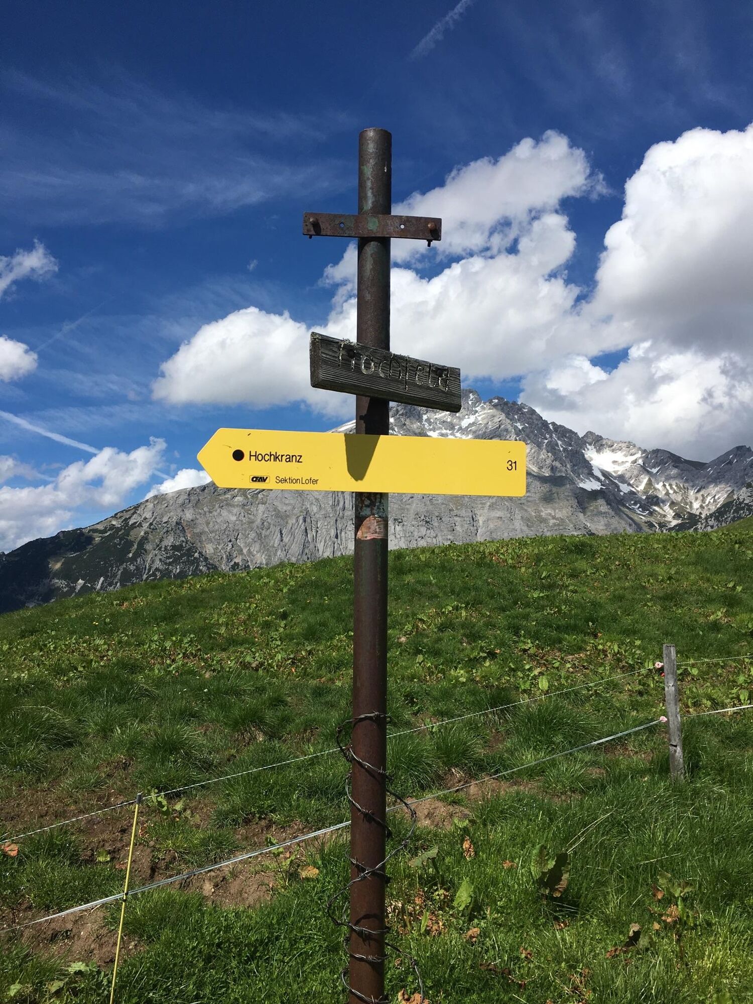
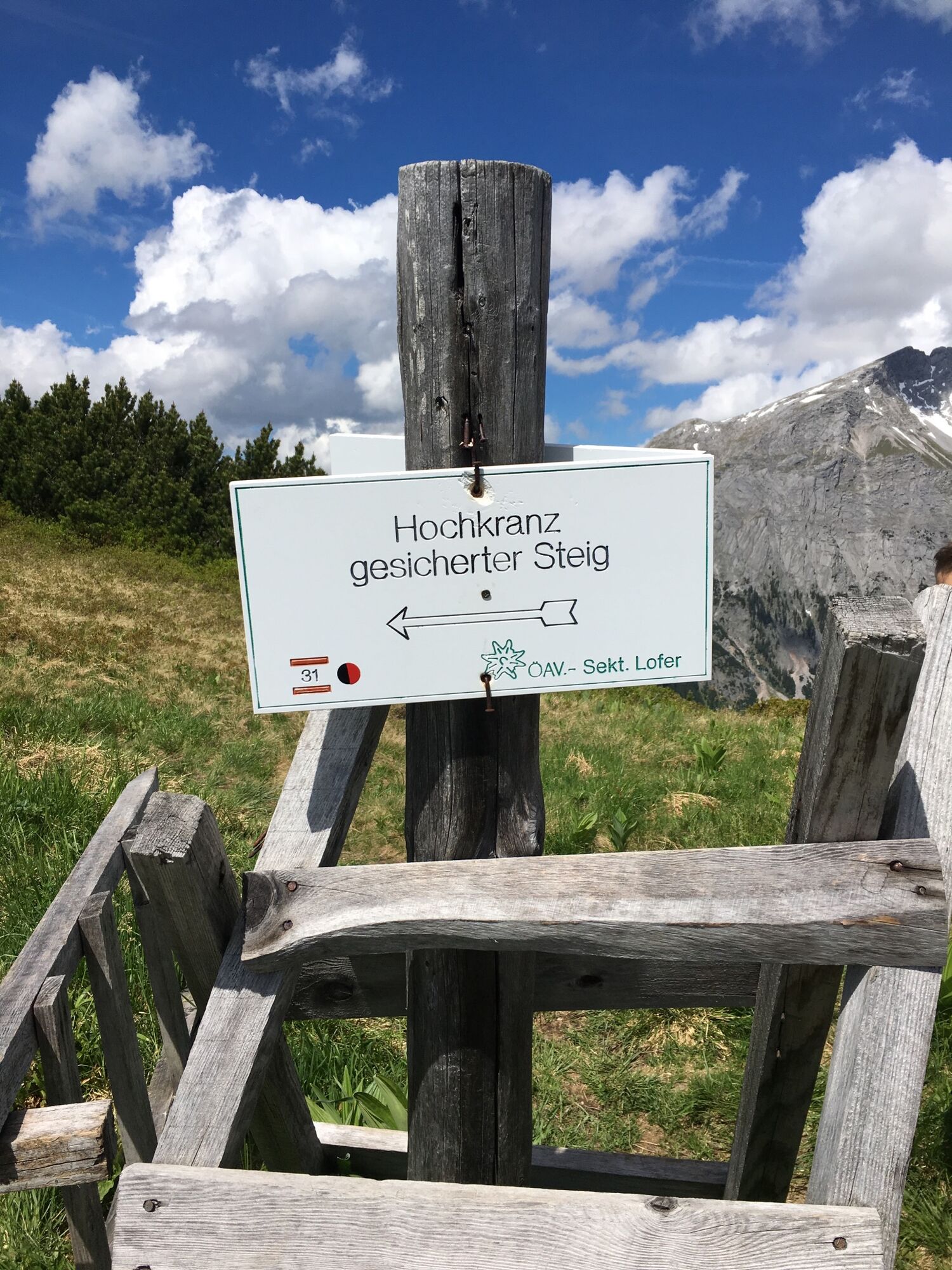
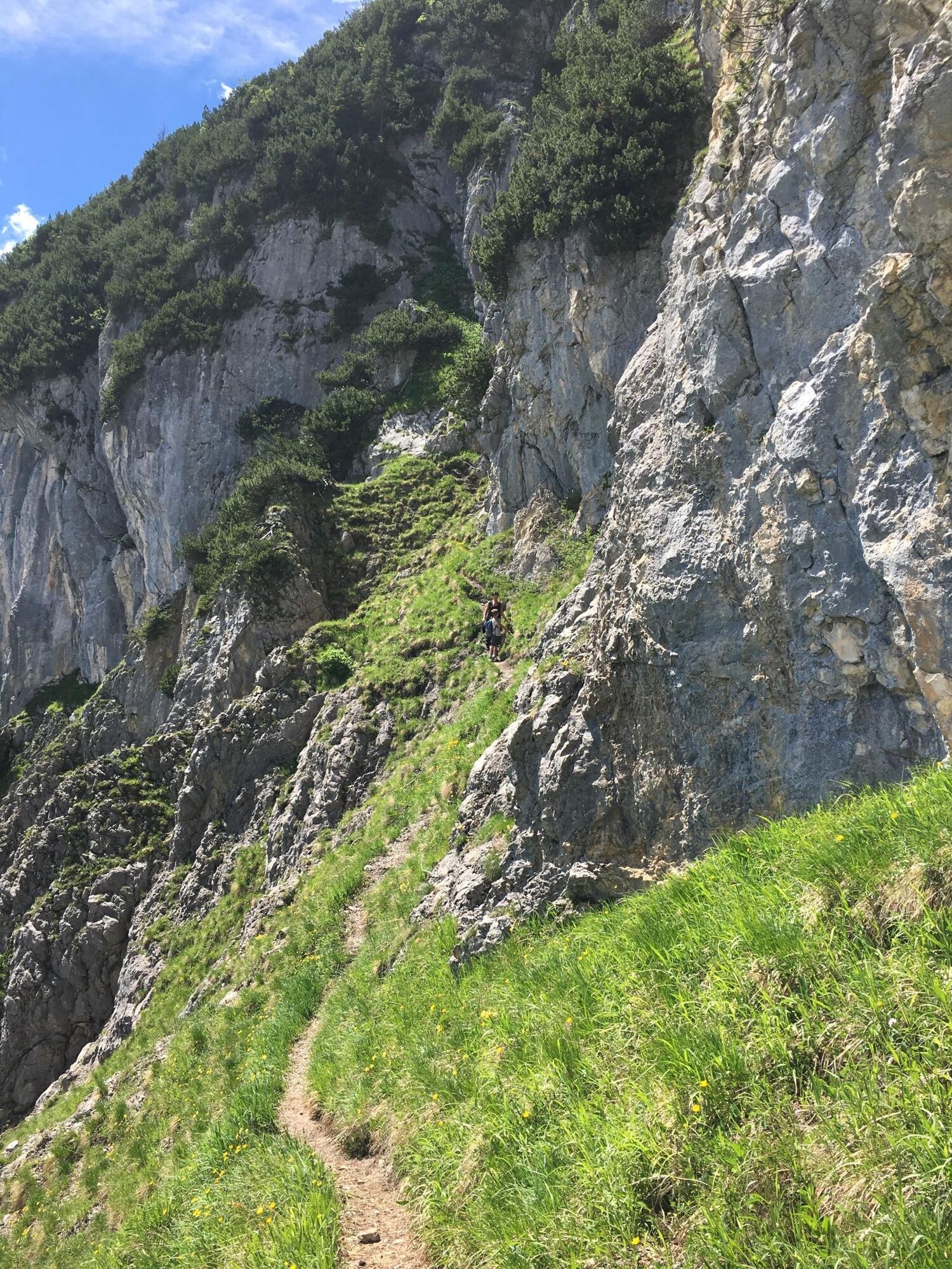
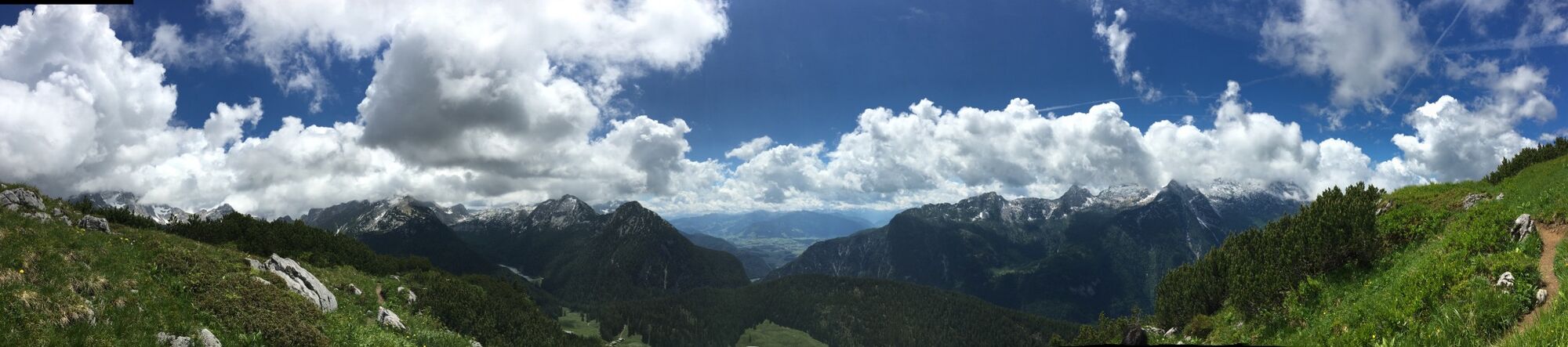
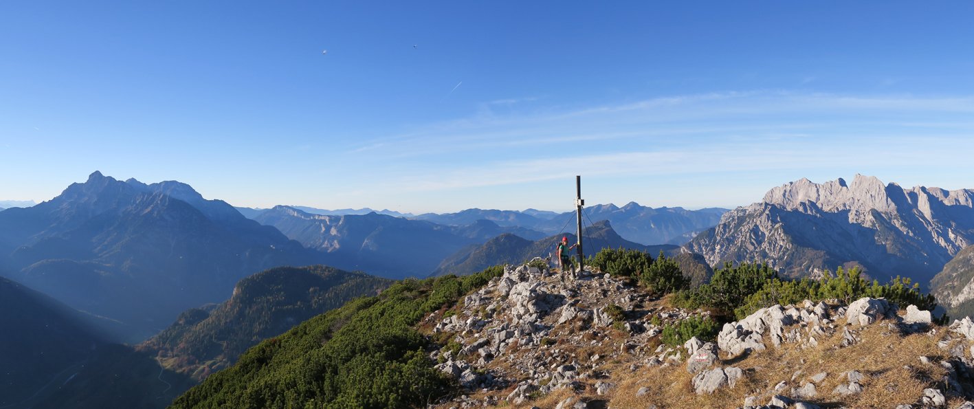
The hike leads from Pürzlbach to the Kallbrunnalm and to the Hochkranz and back.
- Vaikeus
-
tapa
- Arviointi
-
- Reitti
-
Hochkranz (1.953 m)6,2 km
- Paras kausi
-
tammihelmimaalishuhtitoukokesäheinäelosyyslokamarrasjoulu
- Korkein kohta
- 1.938 m
- Kohde
-
Pürzlbach
- Korkeusprofiili
-

-

-
KirjoittajaKiertue From Pürzlbach to Hochkranz 1,953 m käyttää outdooractive.com toimitettu.
GPS Downloads


Yleistä tietoa
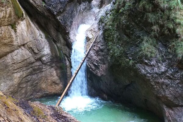
Virvokepysäkki
Lupaava
Lisää retkiä alueilla
-
Saalfelden - Leogang
1814
-
Weißbach bei Lofer
356