

- Lyhyt kuvaus
-
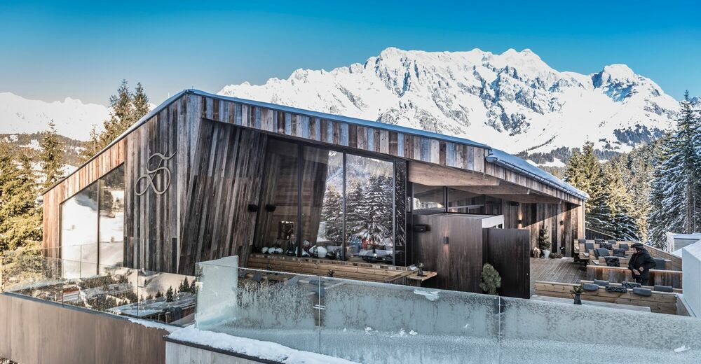
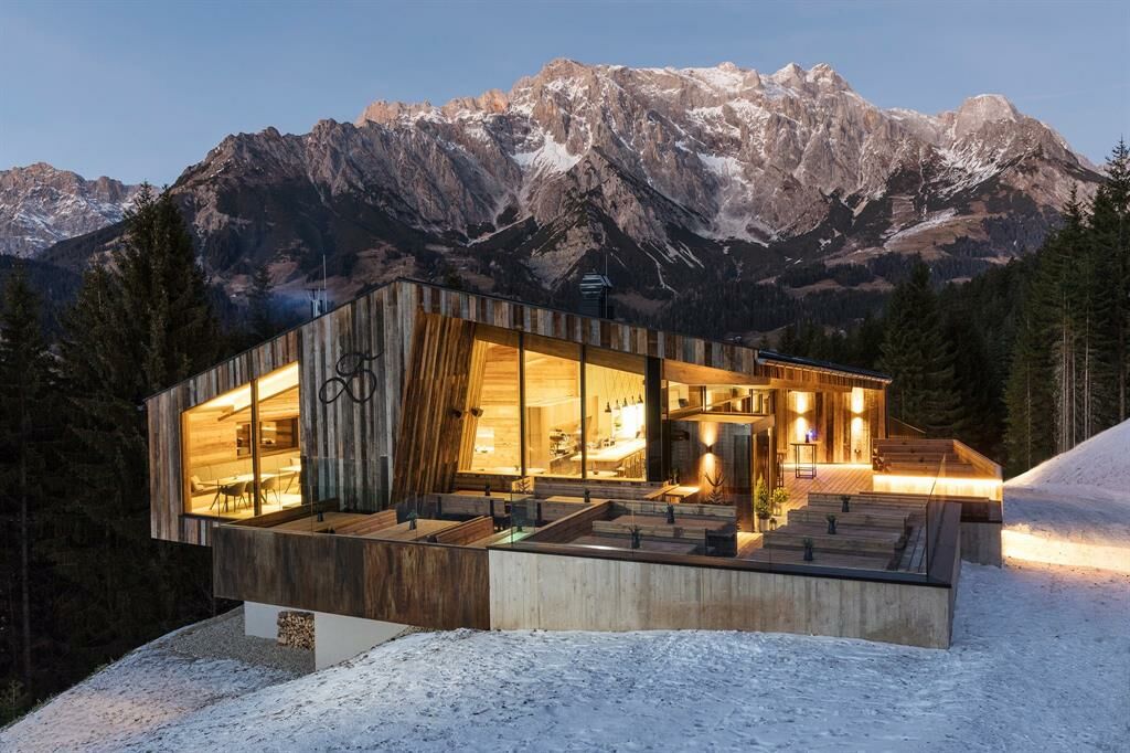
Short hike to the Deantnerin on the Bürglalm slope with direct view of the ski slope.
- Vaikeus
-
helppo
- Arviointi
-
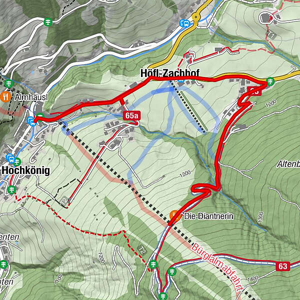
- Reitti
-
Dienten am HochkönigBürglalm0,1 kmHöfl-Zachhof0,7 km
- Paras kausi
-
elosyyslokamarrasjoulutammihelmimaalishuhtitoukokesäheinä
- Korkein kohta
- 1.261 m
- Kohde
-
Die Deantnerin
- Korkeusprofiili
-


- Kirjoittaja
-
Kiertue Winter hiking to the Deantnerin käyttää outdooractive.com toimitettu.
GPS Downloads


Yleistä tietoa
Virvokepysäkki
Lupaava
Lisää retkiä alueilla
-
Hochkönig
144
-
Dienten am Hochkönig
50