- Lyhyt kuvaus
-
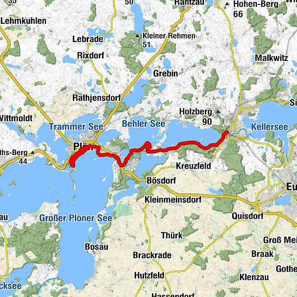
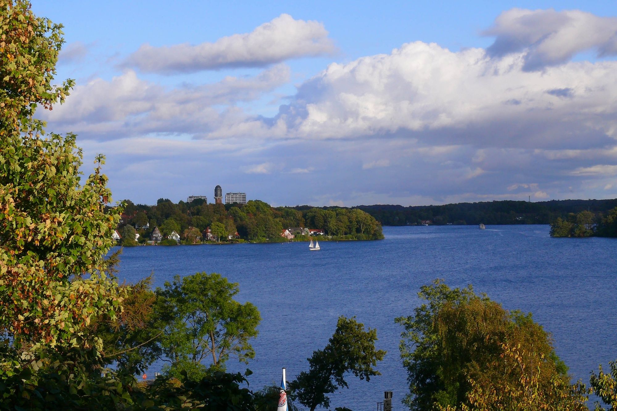
Durch das Herz der Holsteinischen Schweiz an der Plöner Seenplatte.
- Vaikeus
-
helppo
- Arviointi
-
- Reitti
-
Bad Malente-GremsmühlenNiederkleveez4,3 kmFährhaus Niederkleveez4,5 kmKim Sön8,7 kmAstride's Bistro8,7 kmFegetasche9,0 kmBier & Cafegarten Fegetascher Strand9,4 kmPlön11,2 kmFriedhofskapelle11,5 kmPlön12,0 kmPlön15,2 km
- Paras kausi
-
tammihelmimaalishuhtitoukokesäheinäelosyyslokamarrasjoulu
- Korkein kohta
- 40 m
- Korkeusprofiili
-
 © outdooractive.com

- Kirjoittaja
-
Kiertue Von Malente nach Plön käyttää outdooractive.com toimitettu.
GPS Downloads


Yleistä tietoa
Virvokepysäkki
Kulttuuri/Historiallinen
Lupaava
Lisää retkiä alueilla
-
Holsteinische Schweiz
78
-
Hohwachter Bucht
15
-
Bösdorf
10