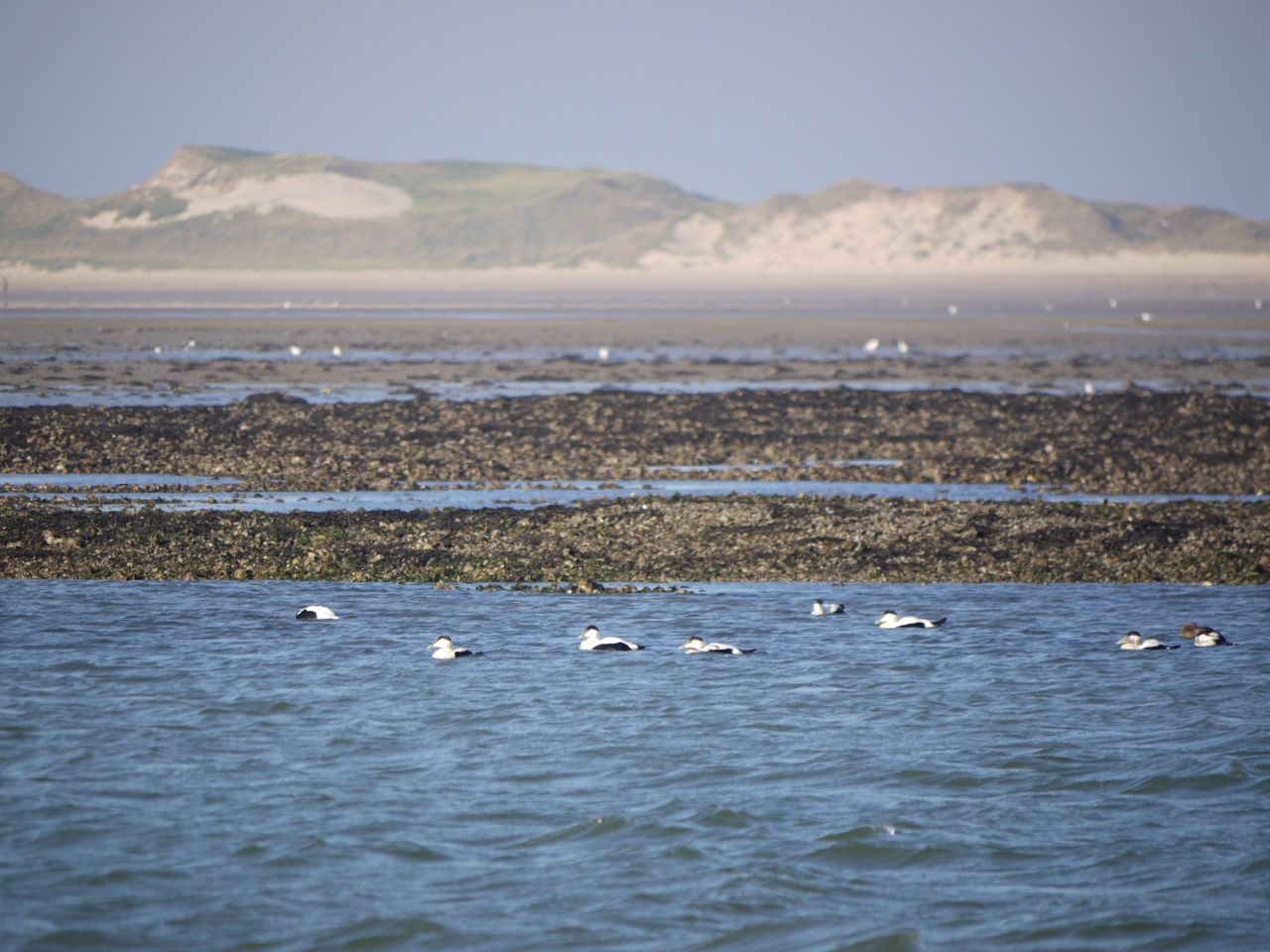
© Unbekannt - Rösner/WWF Wattenmeerbüro

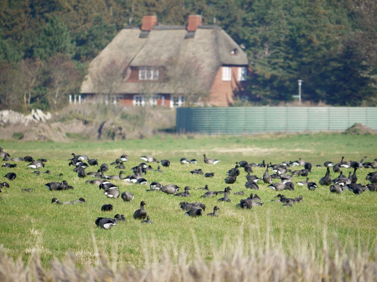
© Unbekannt - Rösner/WWF Wattenmeerbüro

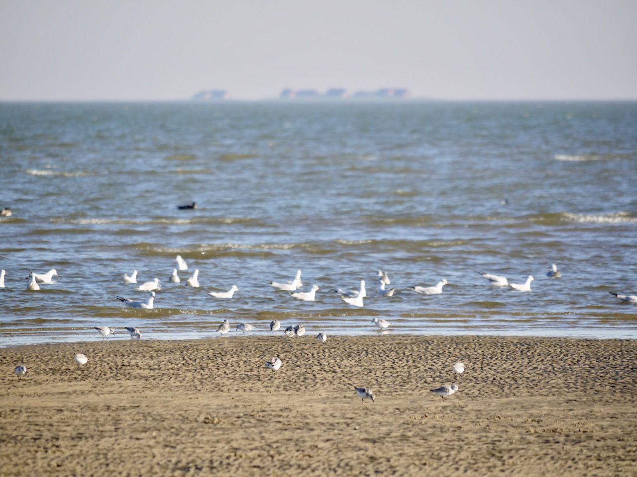
© Unbekannt - Rösner/WWF Wattenmeerbüro

© Unbekannt - Rösner/WWF Wattenmeerbüro

© Unbekannt - Anja Szczesinski / WWF Wattenmeerbüro

© Unbekannt - NAKUWA

- Lyhyt kuvaus
-
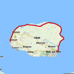
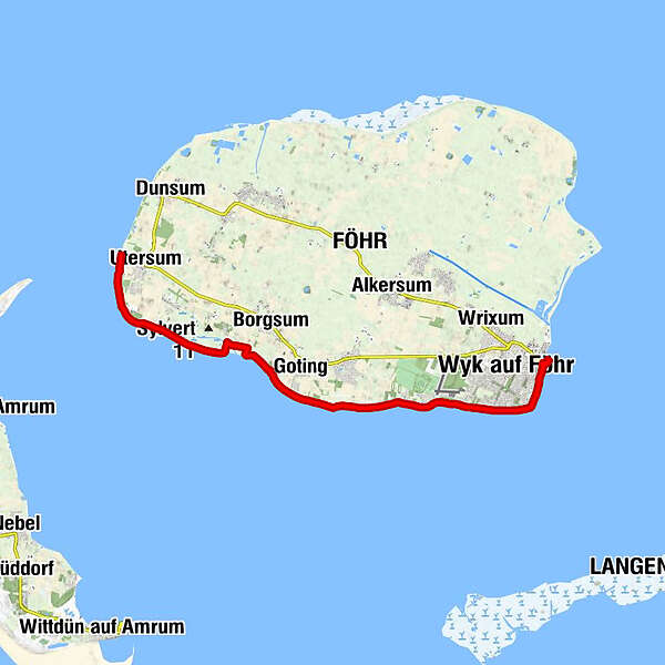
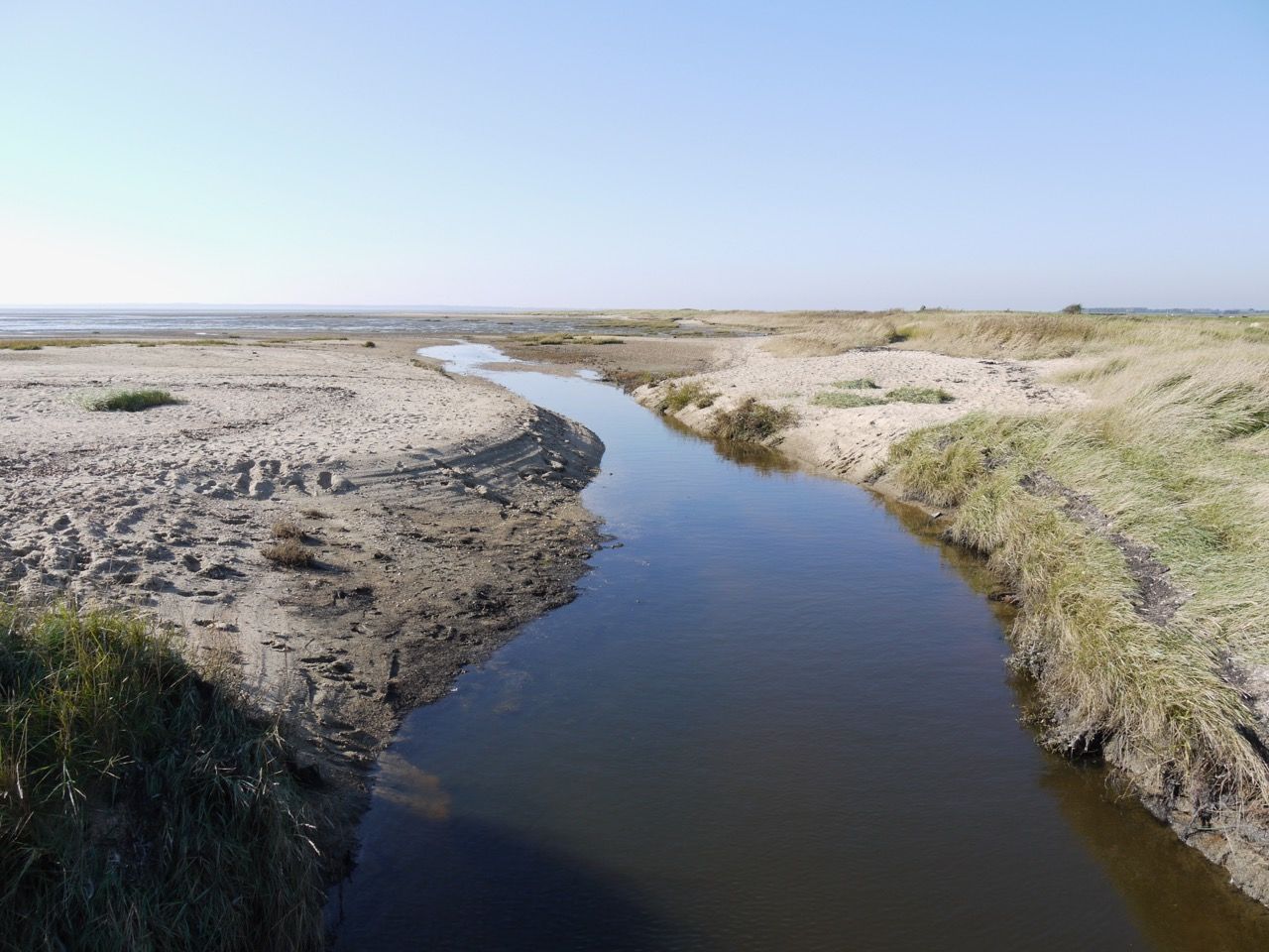
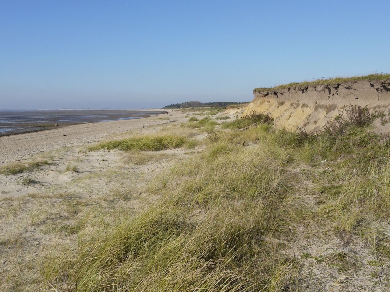
With a view of the neighboring islands and Halligen, this hike leads along the beach, past woods, cliffs and estuary around the southern part of the island.
- Vaikeus
-
tapa
- Arviointi
-
- Reitti
-
Tri Eilun0,1 kmWasserspielplatz12,9 km
- Paras kausi
-
tammihelmimaalishuhtitoukokesäheinäelosyyslokamarrasjoulu
- Korkein kohta
- 5 m
- Kohde
-
Wyker harbour
- Korkeusprofiili
-
 © outdooractive.com
-

-
KirjoittajaKiertue WWF Tour Föhr: Southern route from Utersum to Wyk käyttää outdooractive.com toimitettu.
GPS Downloads


Yleistä tietoa
Lupaava
Lisää retkiä alueilla
-
Föhr
34
-
Hallig Langeneß
7