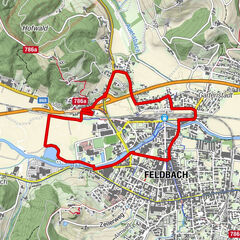
© Oststeiermark Tourismus - Michaela Begsteiger

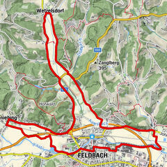
© M. Begsteiger - xClau Beeer

© eltner marketing services gmbh - xClau Beeer

© eltner marketing services gmbh - xClau Beeer
- Lyhyt kuvaus
-
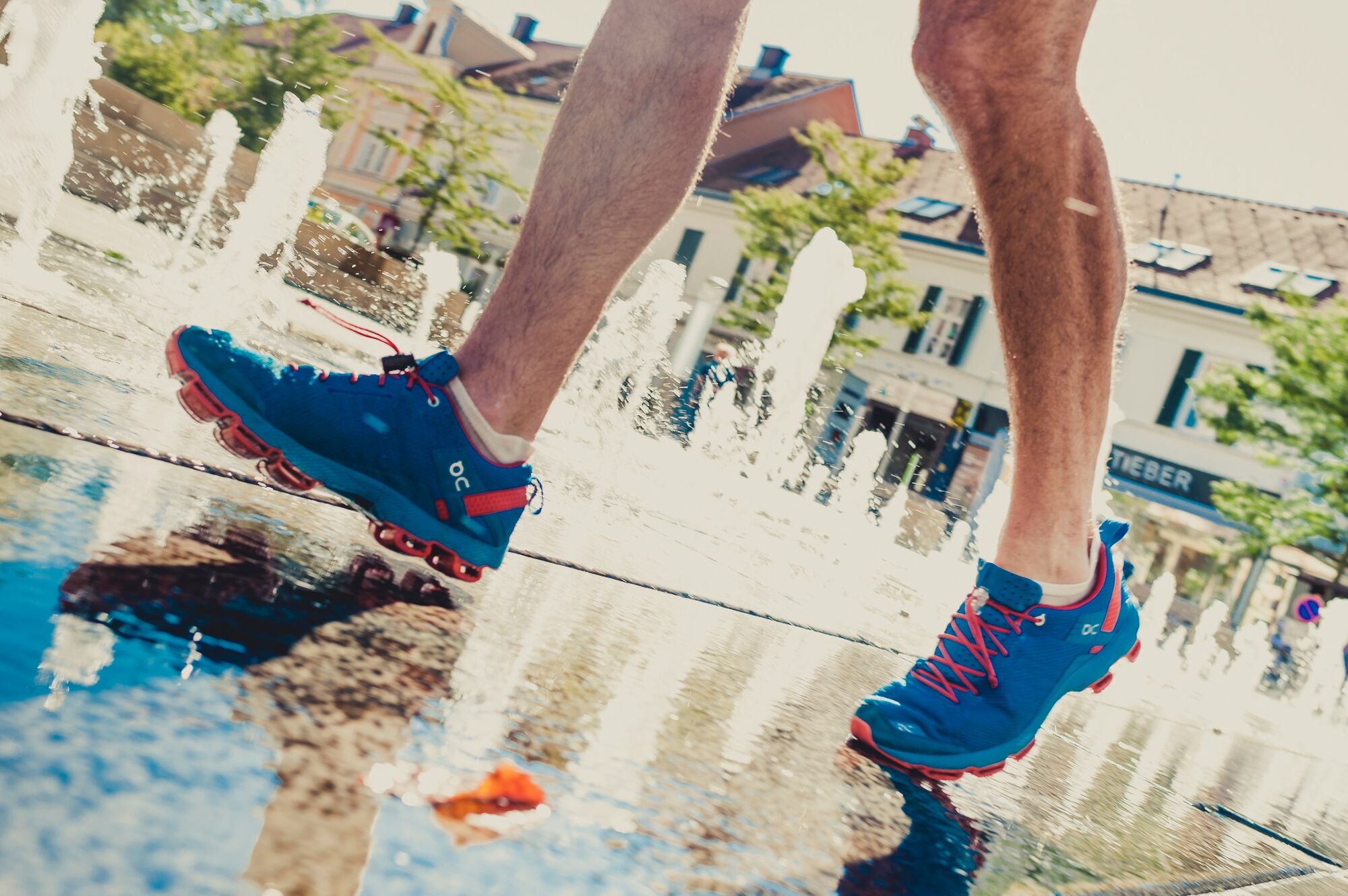
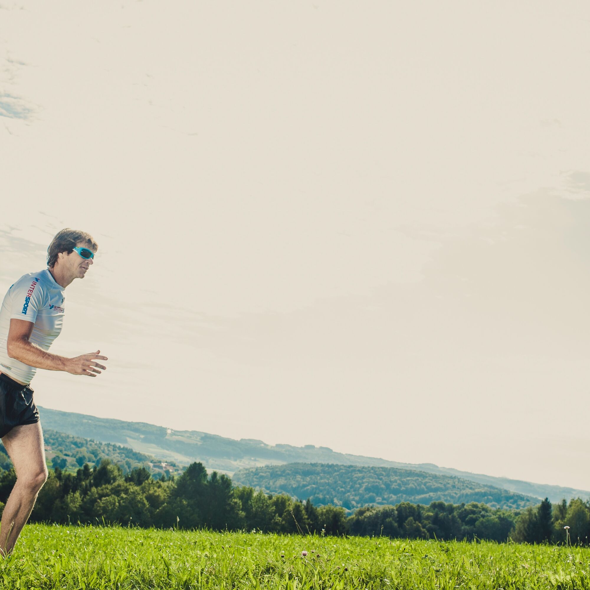
Running, walking and Nordic walking are good for the body, mind and soul and are twice as much fun as a couple or in a group.
- Vaikeus
-
tapa
- Arviointi
-
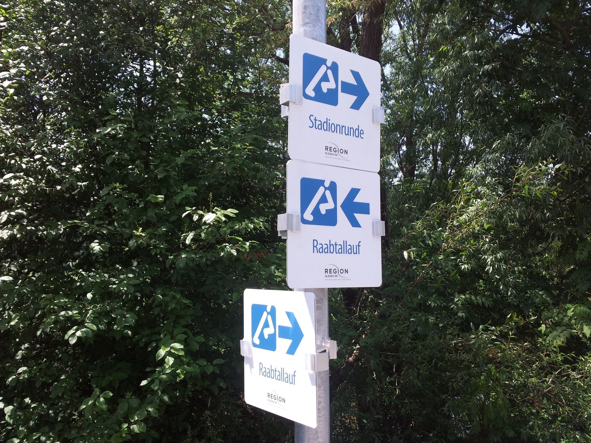
- Reitti
-
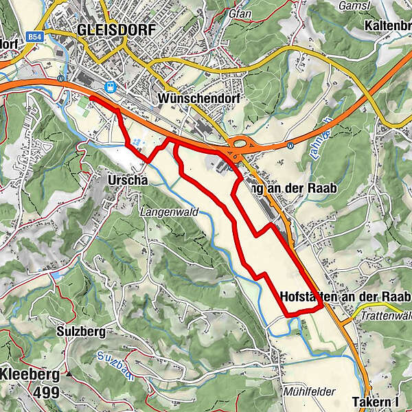
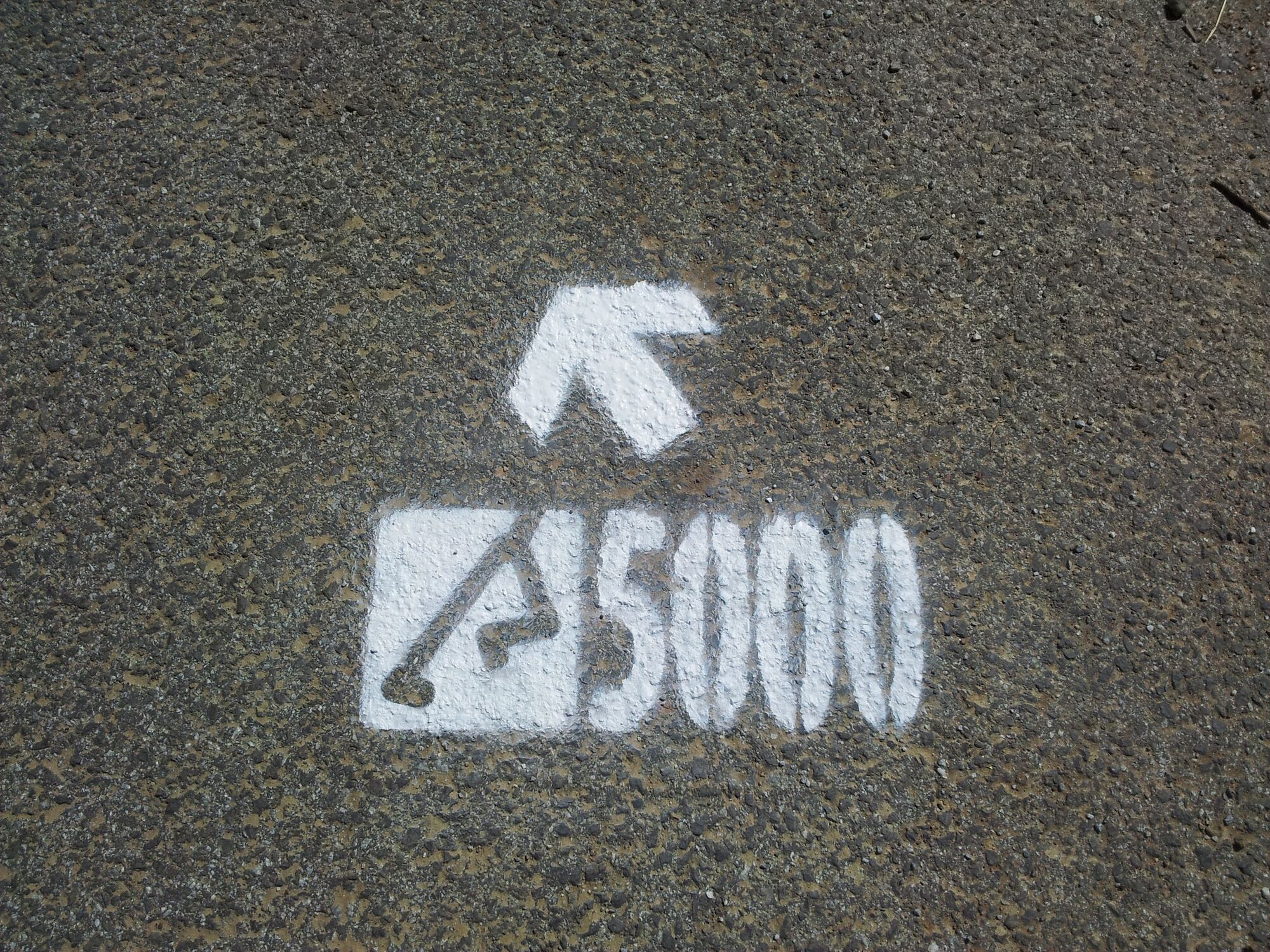
Gleisdorf0,0 kmUrscha1,1 kmHofstätten an der Raab5,0 kmPirching an der Raab6,2 kmUrscha8,8 kmGleisdorf9,8 km
- Paras kausi
-
tammihelmimaalishuhtitoukokesäheinäelosyyslokamarrasjoulu
- Korkein kohta
- 346 m
- Kohde
-
Gleisdorf, Solar stadium (or Hofstätten an der Raab turning point)
- Korkeusprofiili
-

-

-
KirjoittajaKiertue Raabtallauf with circuit, Gleisdorf region käyttää outdooractive.com toimitettu.