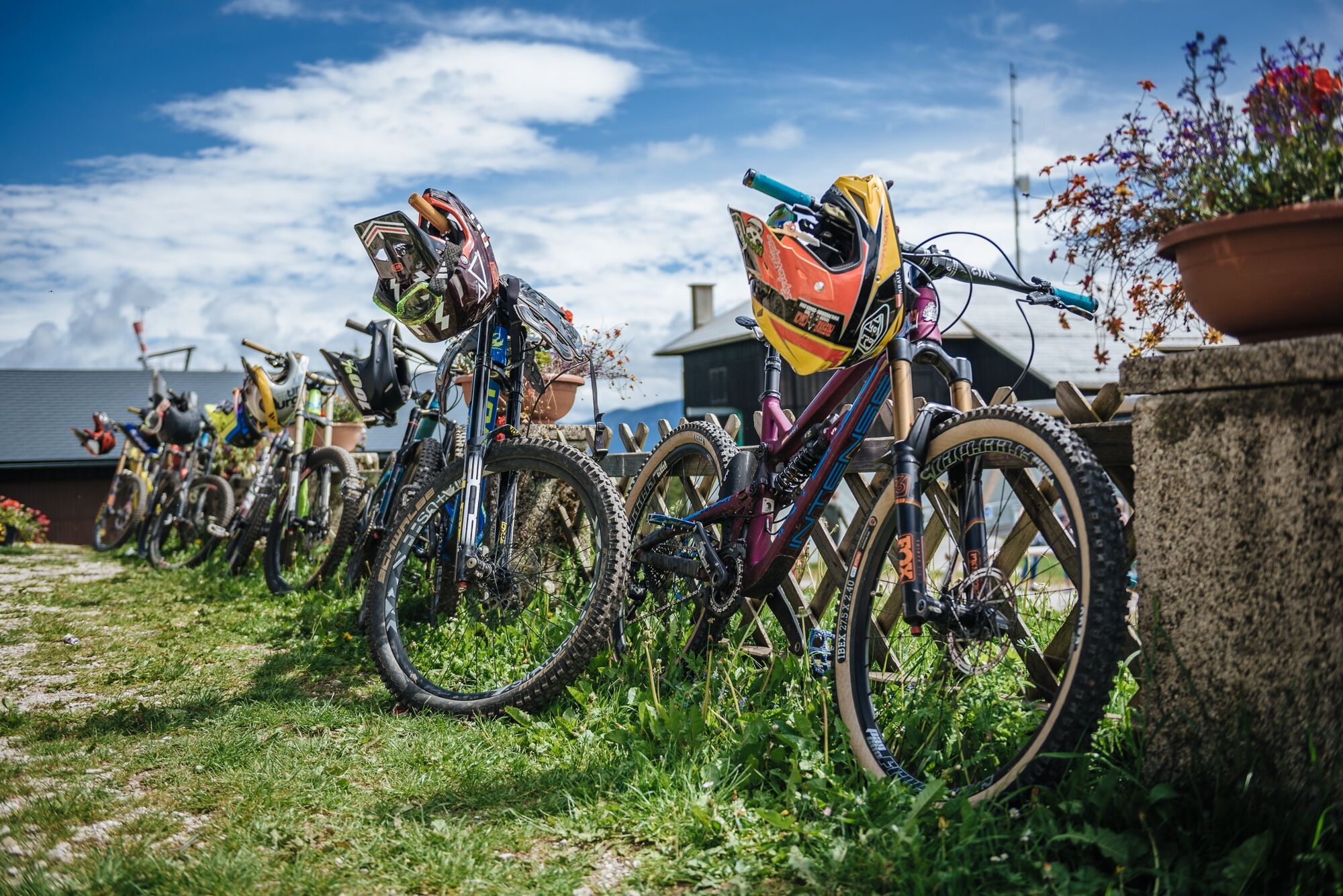
© Mariazeller Bürgeralpe - Rudy Dellinger

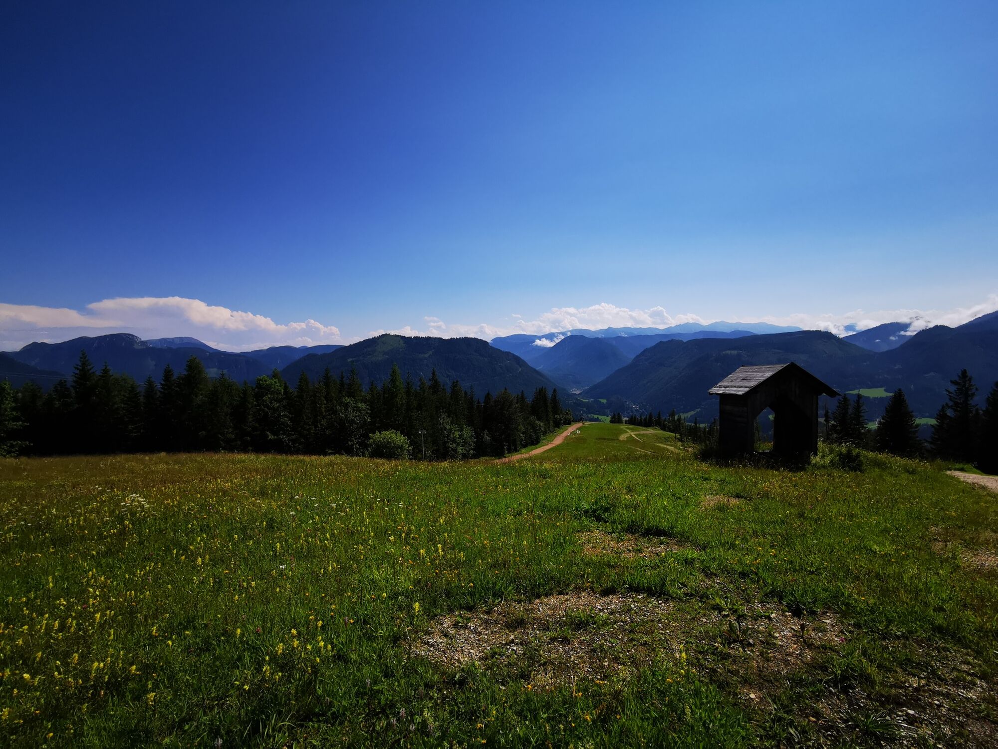
© Mariazeller Land ... ein Geschenk des Himmels - Brigitte Digruber
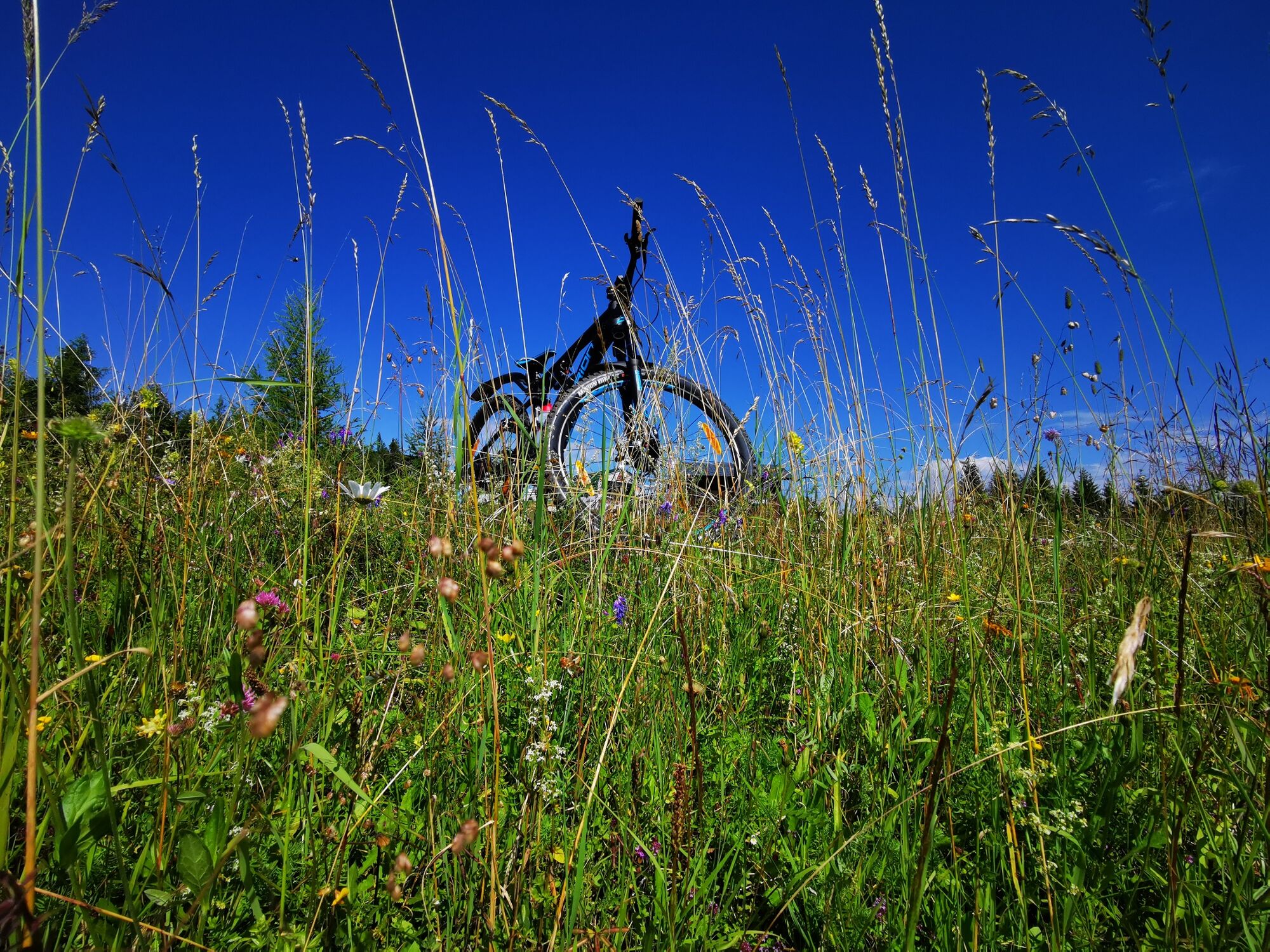
© Mariazeller Land ... ein Geschenk des Himmels - Brigitte Digruber

© Mariazeller Land ... ein Geschenk des Himmels - Brigitte Digruber

- Lyhyt kuvaus
-
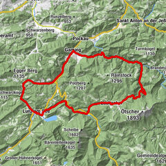
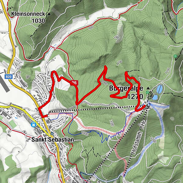
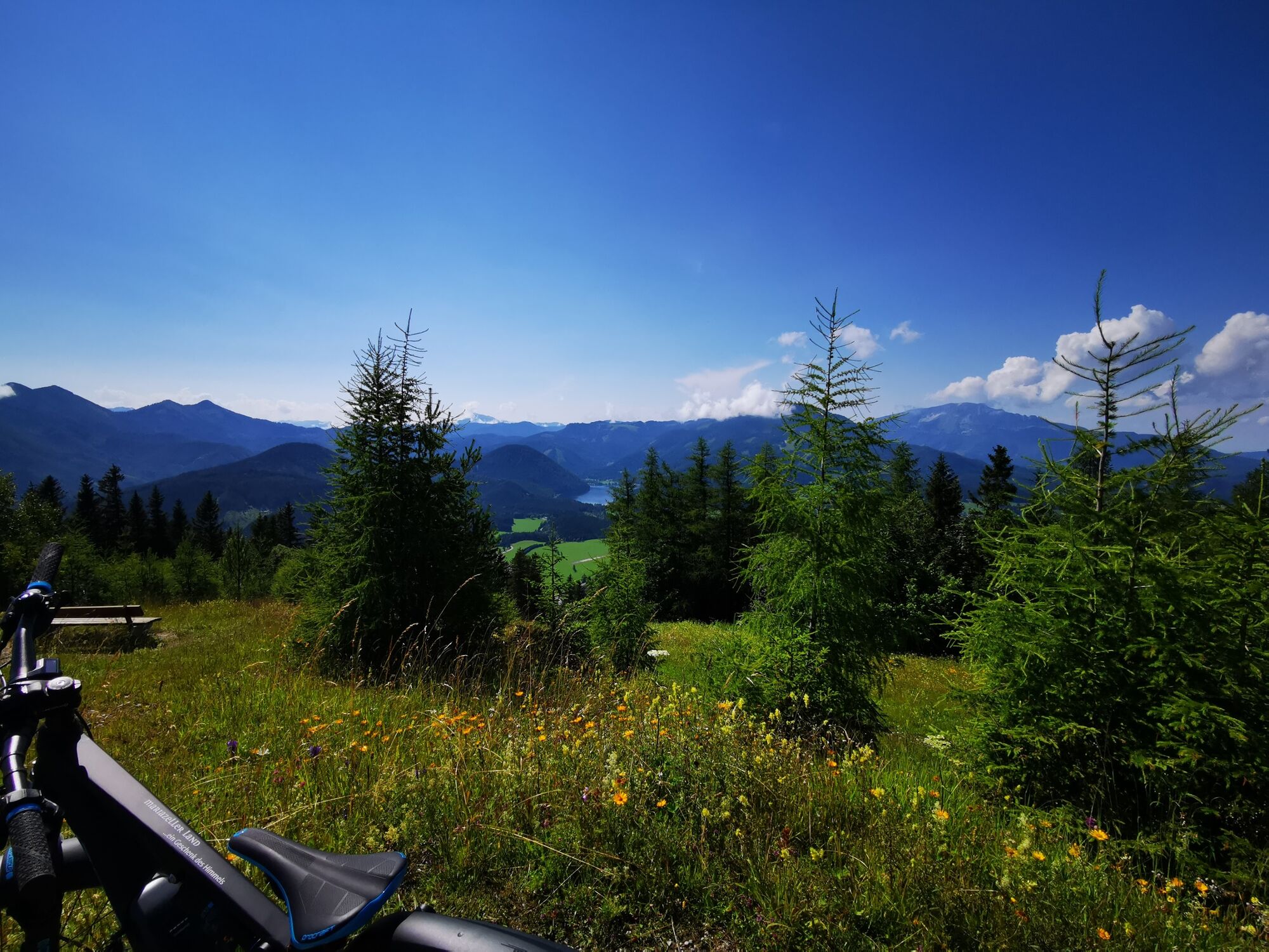
The route up the Mariazeller Bürgeralpe is about 4.3 km long and has an altitude difference of about 400 meters. It is suitable for amateurs as well as for professionals.
- Vaikeus
-
tapa
- Arviointi
-
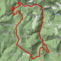
- Reitti
-
Sankt Sebastian0,0 kmBartelbauer0,1 kmBartelbauer-Kapelle0,1 kmBerggasthof4,3 km
- Paras kausi
-
tammihelmimaalishuhtitoukokesäheinäelosyyslokamarrasjoulu
- Korkein kohta
- 1.245 m
- Kohde
-
Mariazeller Bürgeralpe
- Korkeusprofiili
-

- Kirjoittaja
-
Kiertue Mariazeller Bürgeralpe: Backside Up käyttää outdooractive.com toimitettu.
GPS Downloads


Yleistä tietoa
Virvokepysäkki
Lupaava
Lisää retkiä alueilla