Retkitiedot
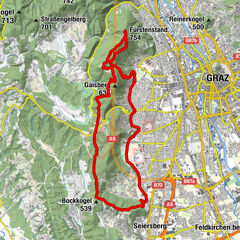
7,07km
804
- 1.439m
649hm
14hm
01:39h
- Lyhyt kuvaus
-
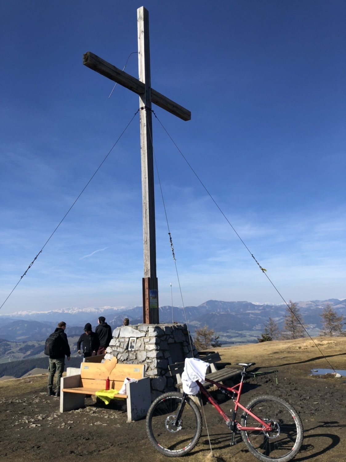
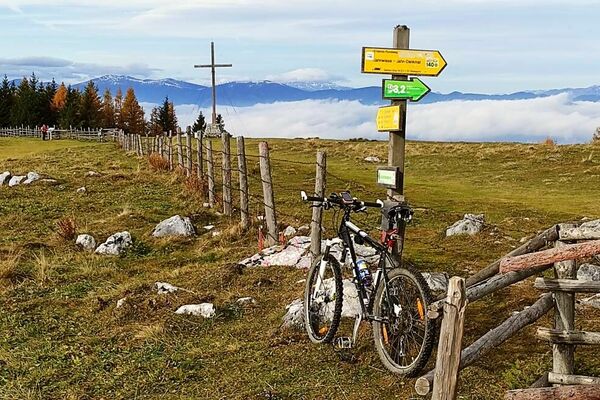
Vom Steingraben auf den Schöckl
- Vaikeus
-
tapa
- Arviointi
-
- Reitti
-
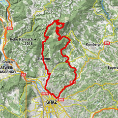
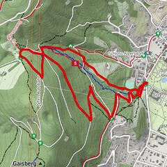
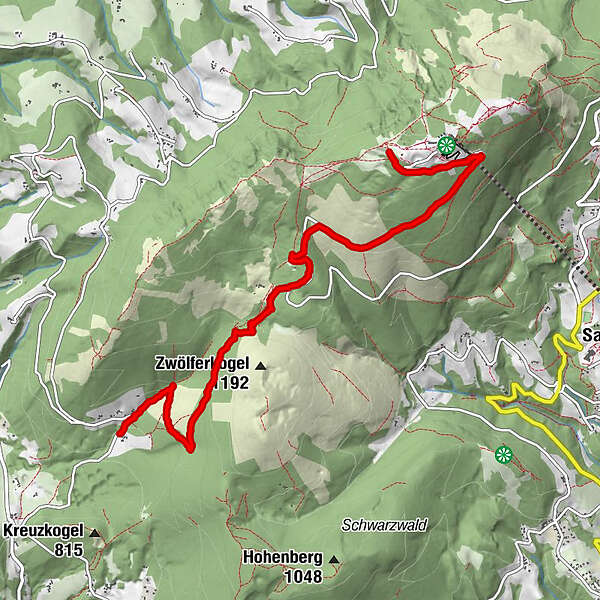
Steingraben0,2 kmJohann-Waller-Hütte3,9 kmSchöckl (1.445 m)6,9 kmStoawandhütte7,0 km
- Korkein kohta
- 1.439 m