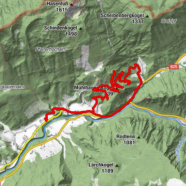
Retkitiedot
12,48km
518
- 860m
433hm
465hm
02:15h
- Lyhyt kuvaus
-
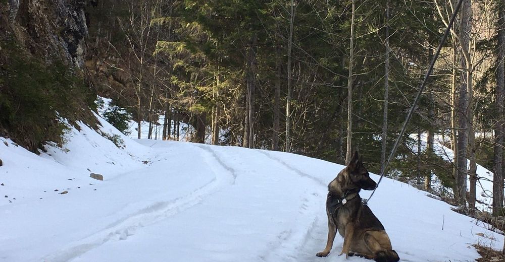
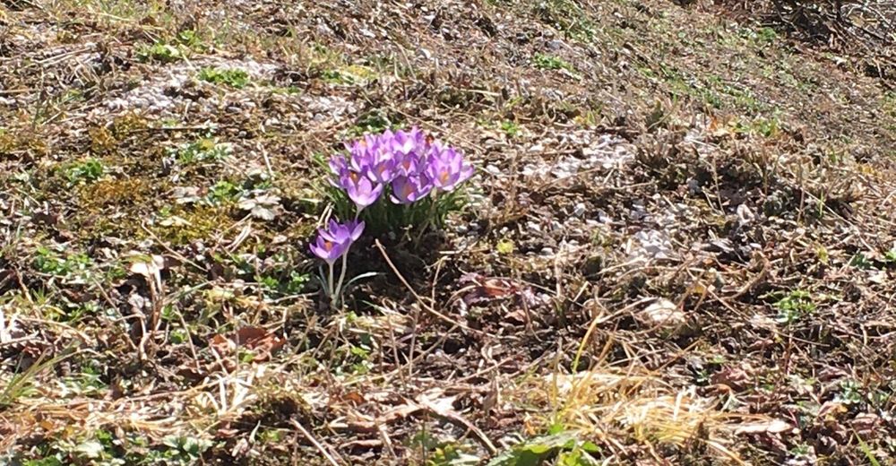
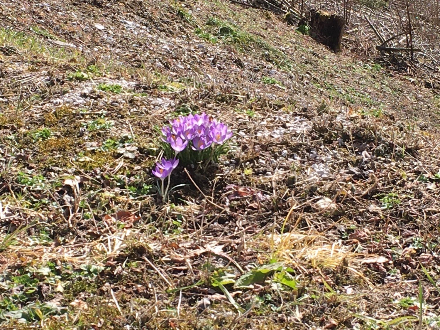
War ein test fürs trike, viki und....mich! Alles gut gegangen, dann tiefschnee. Aber viki hats gefallen. 11km und 300hm is ja schon was!!
- Vaikeus
-
helppo
- Arviointi
-
- Reitti
-
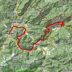
Palfau0,0 kmPfarrkirche Allerheiligen0,0 kmMühlbauernkogel (839 m)4,0 kmLöschwasser Entnahmstelle10,8 kmPfarrkirche Allerheiligen11,8 kmPalfau11,9 km
- Paras kausi
-
tammihelmimaalishuhtitoukokesäheinäelosyyslokamarrasjoulu
- Korkein kohta
- 860 m

GPS Downloads


Lisää retkiä alueilla
-
Erzberg Leoben
177
-
Hochschwab
84
-
Hochkar
17