© Tourismusverband Region Murau - CM Visuals

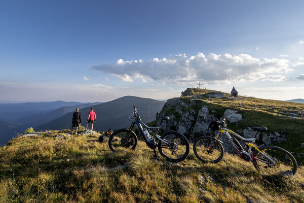
© Tourismusverband Region Murau - Alexander Brunner


- Lyhyt kuvaus
-
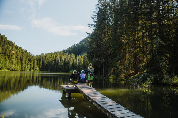
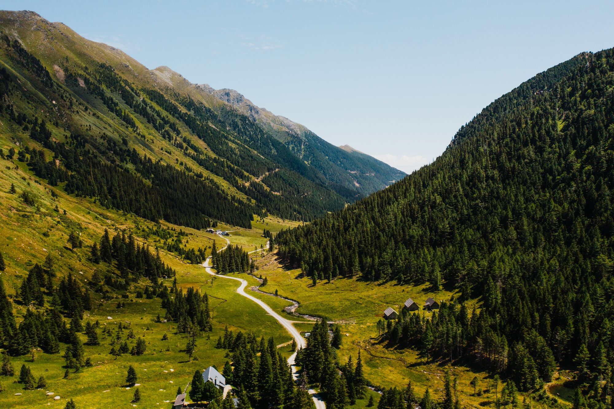
The mountain bike tour is a challenging tour, which is suitable for athletic and trained cyclist. Immerse yourself in the breathtaking ambience of your vacation region, the tranqulity and enjoy the tour into the alpine pasture.
- Vaikeus
-
tapa
- Arviointi
-
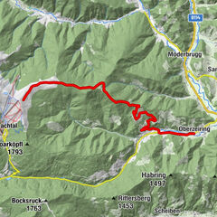
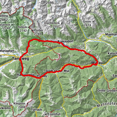
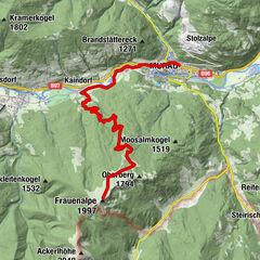
- Reitti
-
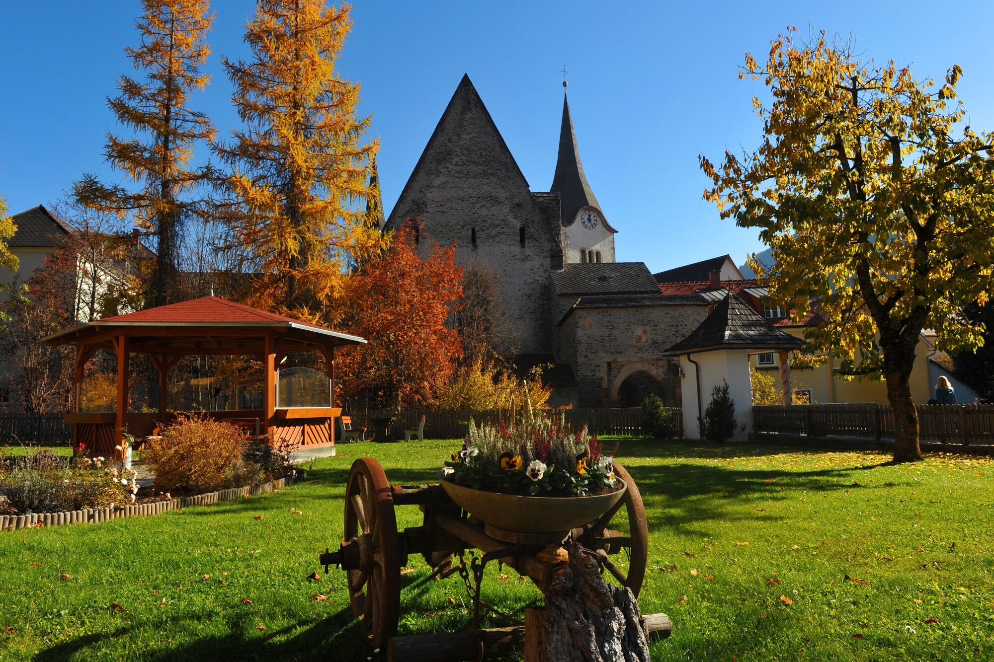
Pfarrkirche hl. MartinStadtOberwölz0,0 kmFilialkirche hl. Sigismund0,0 kmJohannes-Nepomuk-Kapelle0,1 kmVorstadt0,2 kmWieden1,0 kmMainhartsdorf1,9 kmWinklern bei Oberwölz3,0 kmWallfahrtskirche Maria Altötting3,0 kmGasthaus Brunner3,0 kmGletscherhöhle Oberwölz4,0 kmEselsberg7,8 kmFunklhütte14,7 kmNeunkirchner Hütte16,2 kmHölzerhütte16,4 km
- Paras kausi
-
tammihelmimaalishuhtitoukokesäheinäelosyyslokamarrasjoulu
- Korkein kohta
- 1.535 m
- Kohde
-
Eselsberger Alm, Hölzler Hütte
- Korkeusprofiili
-

- Kirjoittaja
-
Kiertue Oberwölz to the Eselsberger Alm käyttää outdooractive.com toimitettu.
GPS Downloads


Yleistä tietoa
Virvokepysäkki
Lisää retkiä alueilla