


© Ausseerland - Theresa Schwaiger

© Ausseerland - Theresa Schwaiger

© Ausseerland - Theresa Schwaiger

© Ausseerland - Theresa Schwaiger

- Lyhyt kuvaus
-
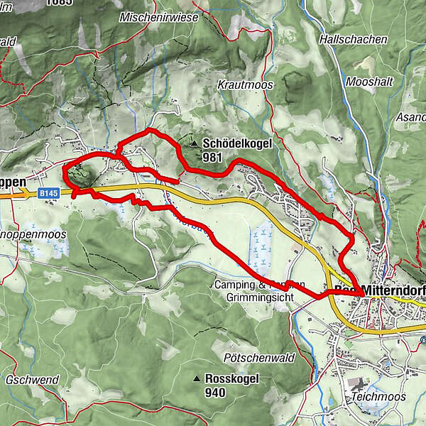
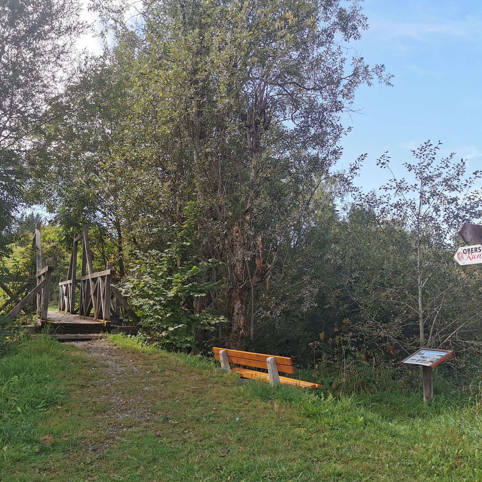
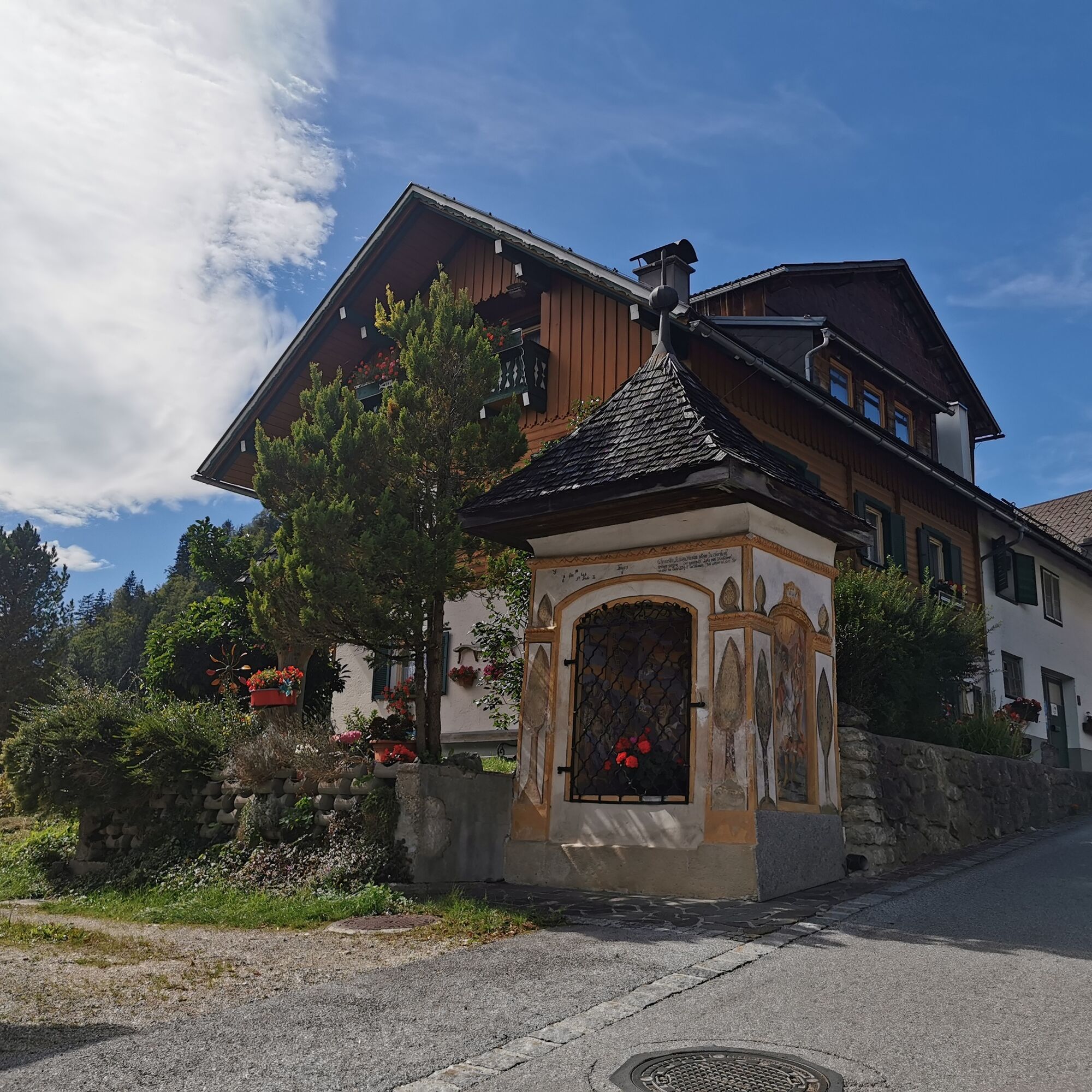
The Obersdorf circular trail opens up the area between Bad Mitterndorf and Obersdorf and uses 20 stations to explain what makes this region so special. Enjoy a light-hearted and relaxing hike through the beautiful landscape. It is worthwhile to take a close look at nature and the landscape between the individual theme stations.
- Vaikeus
-
helppo
- Arviointi
-
- Reitti
-
Bad Mitterndorf0,0 kmSonnenalm2,3 kmGasthof zum Sandlweber5,9 kmObersdorf6,3 kmMelzen6,7 kmMaria Kumitz6,8 kmBad Mitterndorf11,8 km
- Paras kausi
-
tammihelmimaalishuhtitoukokesäheinäelosyyslokamarrasjoulu
- Korkein kohta
- 879 m
- Kohde
-
is the starting point
- Korkeusprofiili
-

- Kirjoittaja
-
Kiertue Obersdorf circular hiking trail - Nordic Walking käyttää outdooractive.com toimitettu.
GPS Downloads


Yleistä tietoa
Virvokepysäkki
Flora
Fauna
Lisää retkiä alueilla
-
Ausseerland - Salzkammergut
3382
-
Gröbminger Land
1190
-
Bad Mitterndorf
290


