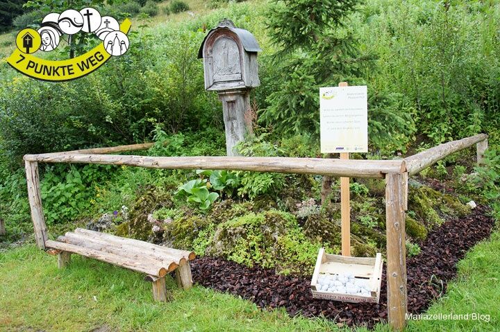
© www.mariazell.blog - Fred Lindmoser

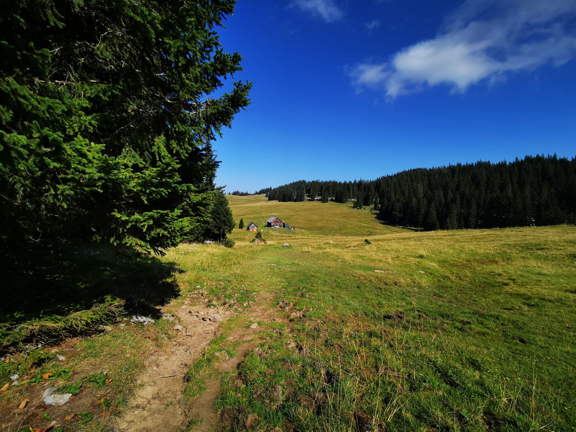
© TV Hochsteiermark - Brigitte Digruber

© TV Hochsteiermark - Brigitte Digruber

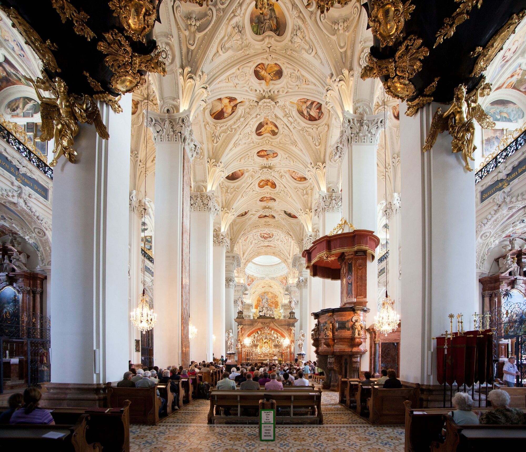
© TV Hochsteiermark - Fred Lindmoser

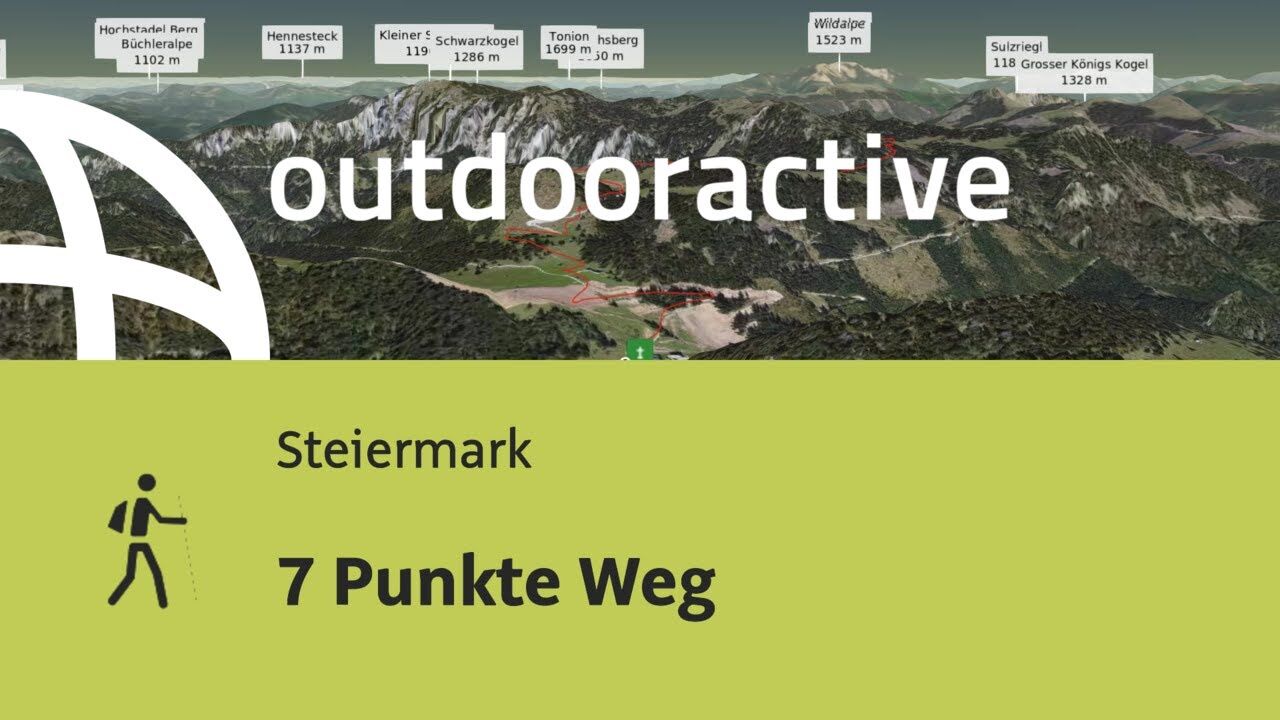
© Outdooractive – 3D Videos

- Lyhyt kuvaus
-
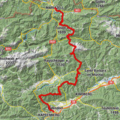
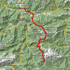
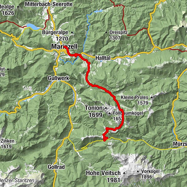
Day hike over gentle alpine pastures from Pass Niederalpl to Mariazell. The last section leads directly along the historic Mariazell Trail.
- Vaikeus
-
tapa
- Arviointi
-
- Reitti
-
Berggasthof Plodererhof0,1 kmWetterinalm Sennhütte1,2 kmWetterl1,6 kmWeißalm2,4 kmHalterhütte Ochsenboden3,6 kmRitzzeichenschacht4,7 kmHerrenboden (1.402 m)4,8 kmSchöneben8,1 kmMooshubenwirt12,9 kmGasthaus "Zur Weinperle"15,6 kmSt. Josef18,4 kmMichaelskapelle18,4 kmMariazell18,5 km
- Paras kausi
-
tammihelmimaalishuhtitoukokesäheinäelosyyslokamarrasjoulu
- Korkein kohta
- 1.457 m
- Kohde
-
Mariazell
- Korkeusprofiili
-


- Kirjoittaja
-
Kiertue 7 points way käyttää outdooractive.com toimitettu.
GPS Downloads


Yleistä tietoa
Virvokepysäkki
Lupaava
Lisää retkiä alueilla
-
Mostviertel
2470
-
Mariazellerland
1505
-
Halltal
373