© Region Graz - Region Graz, Michaela Pfleger
© Region Graz - Region Graz, Harry Schiffer

© Region Graz - Region Graz, Michaela Pfleger

© Region Graz - Region Graz, TV Kalsdorf

© Region Graz - Region Graz, TV Kalsdorf

© Region Graz - Region Graz, Michaela Pfleger

© Region Graz - Region Graz, Michaela Pfleger

© Region Graz - Region Graz, Michaela Pfleger
- Lyhyt kuvaus
-
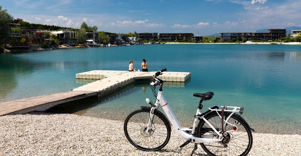
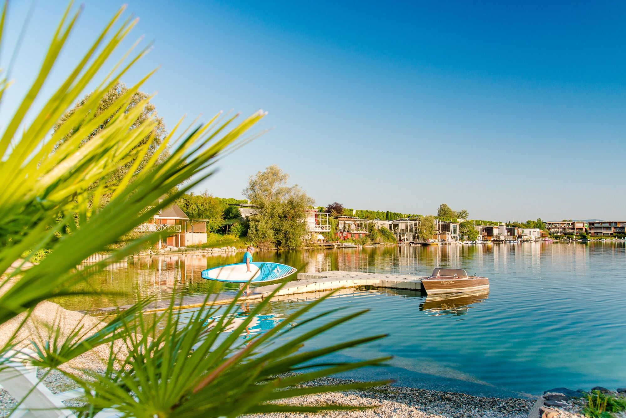
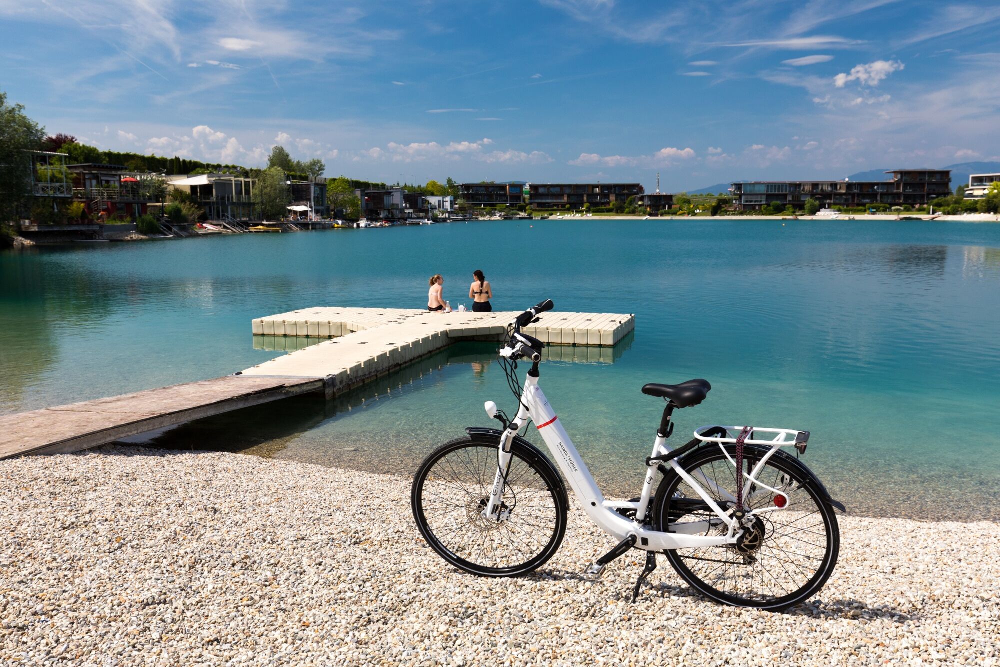
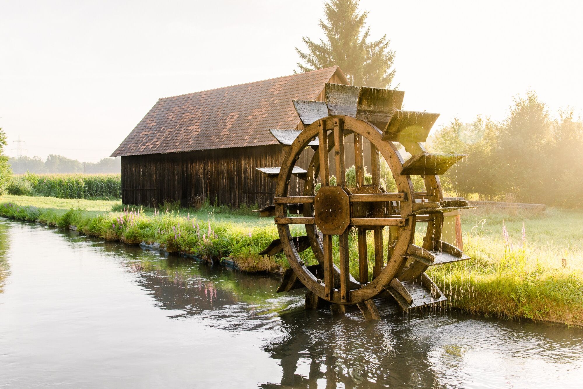
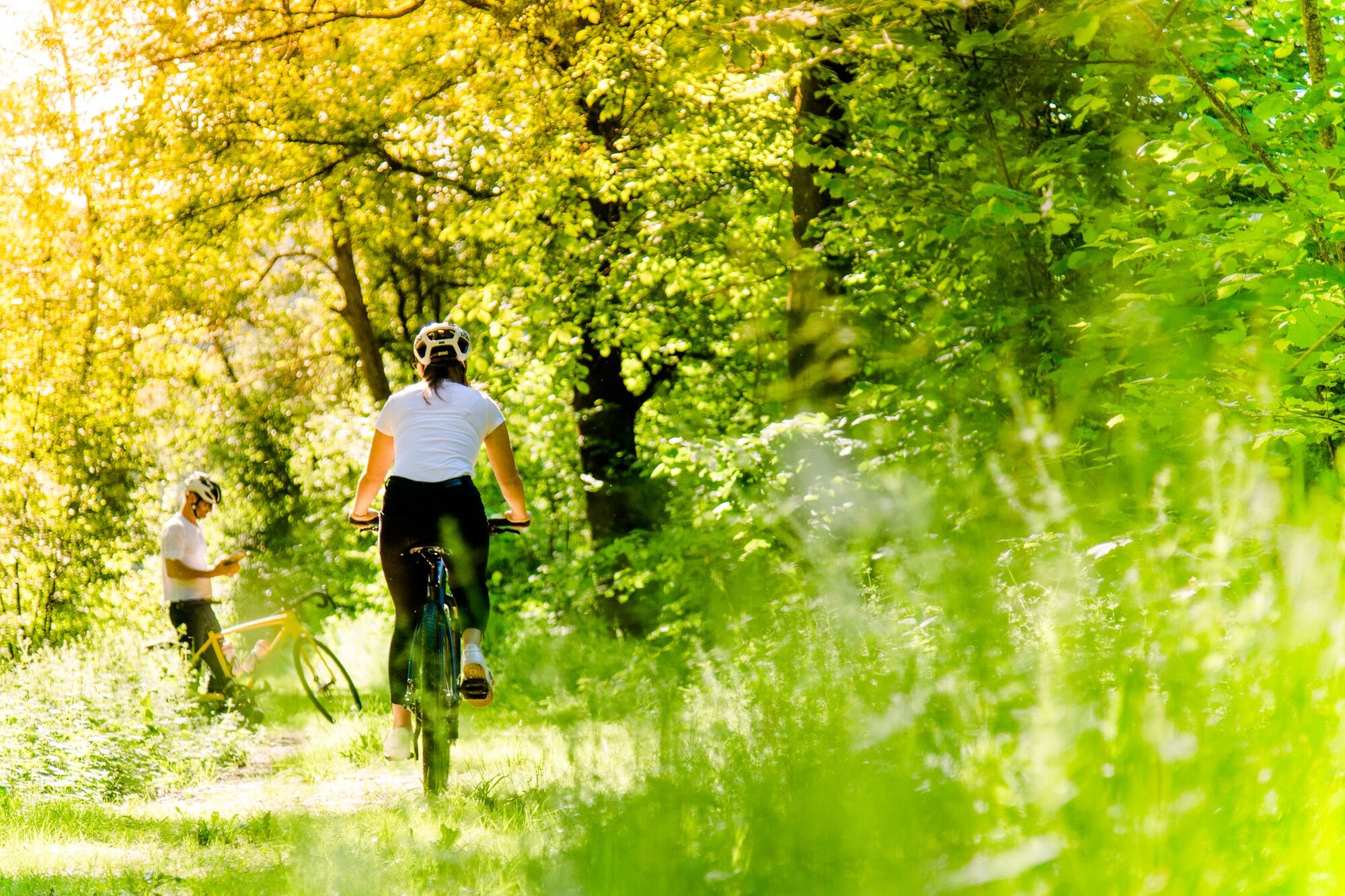
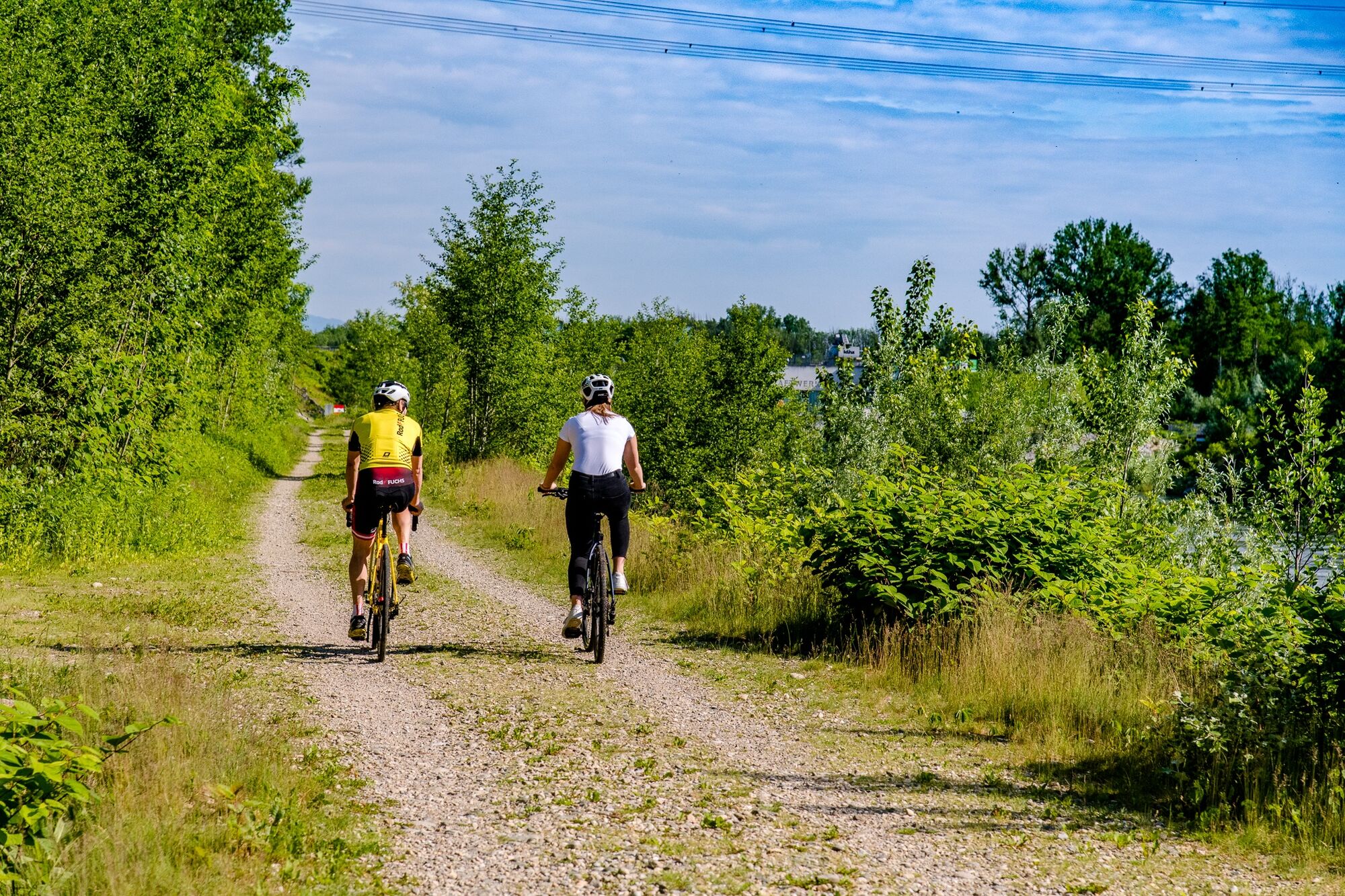
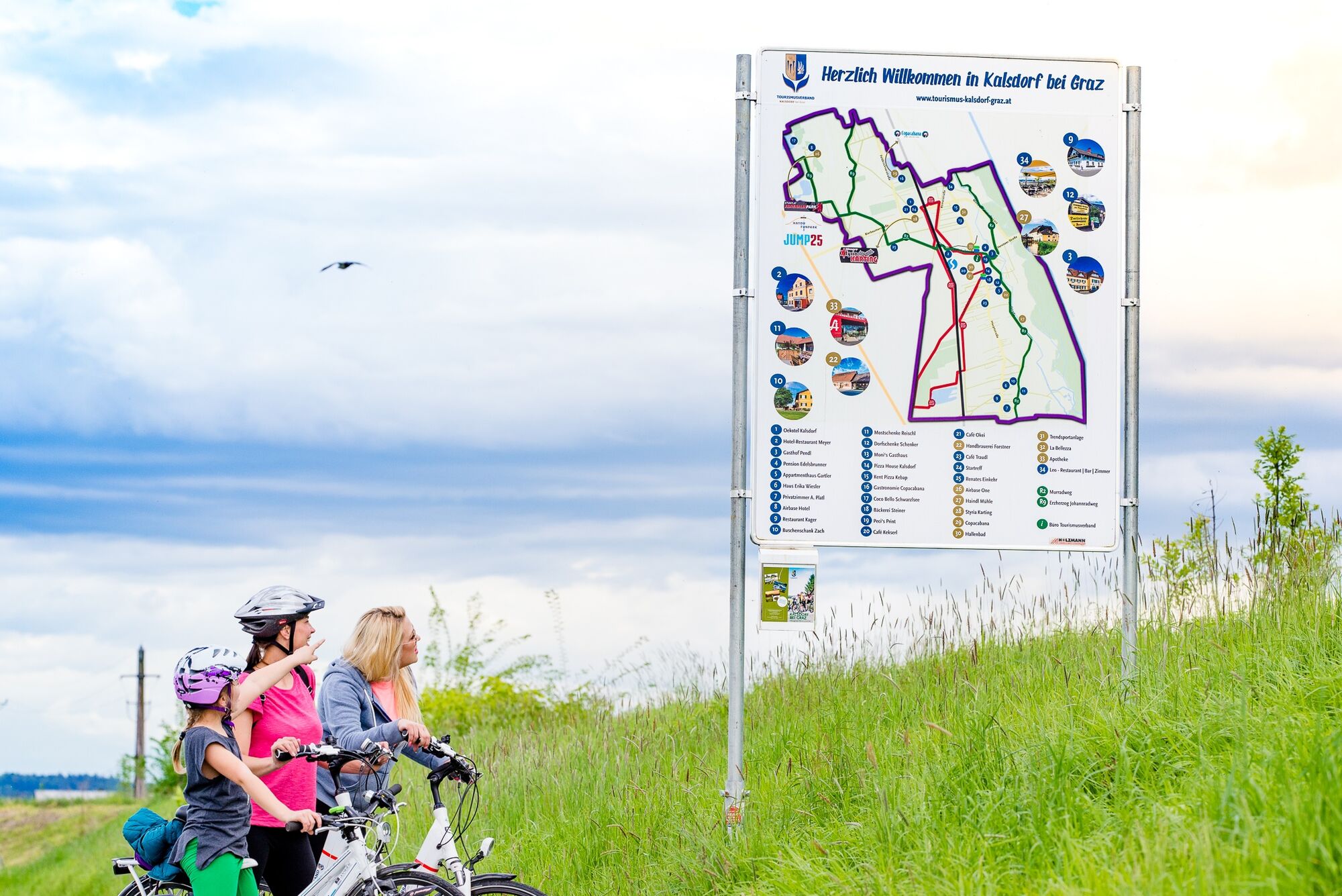
A relaxed cycling tour with action as relaxation. You cycle leisurely along the water all the way and have several options to cool down along the way – the Copacapana, the Schwarzlsee and Wildon swimming lake.
But if you need a bit more of a kick, you can let off steam at Adrenalinpark, Airbase One, Jump25 or Styria Karting. - Vaikeus
-
tapa
- Arviointi
-
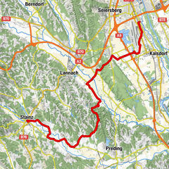
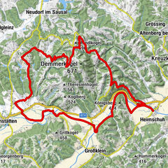
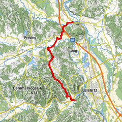
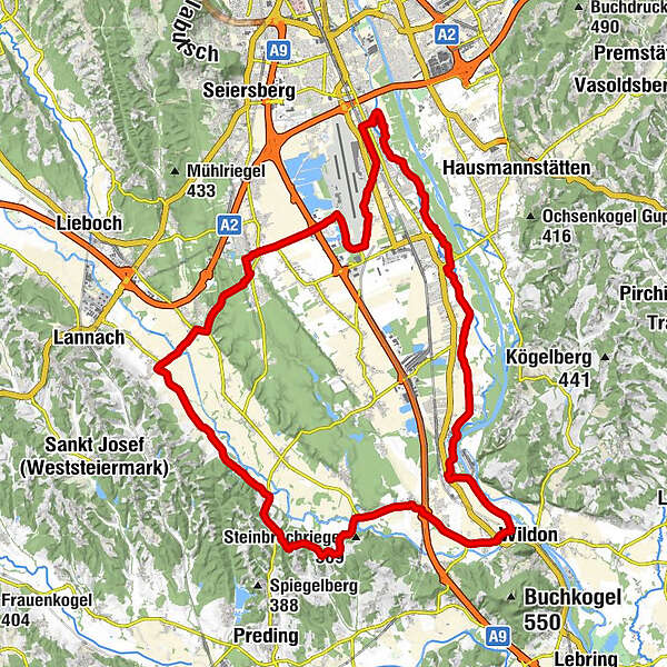
- Reitti
-
KalsdorfWagnitz3,5 kmHerberts Stubn5,0 kmLebern6,8 kmAbtissendorf7,8 kmForst9,8 kmThalerhof11,0 kmUnterpremstätten15,8 kmSankt Thomas15,8 kmGasthof zum Stiegenwirt19,3 kmDobl19,4 kmBuschenschank Weinhof Florian19,4 kmBachwirt19,7 kmMuttendorf21,0 kmOrtskapelle Petzendorf22,7 kmPetzendorf22,7 kmHeiliger Nepomuk Klein Pöls26,4 kmGasthaus Pracher26,4 kmLourdeskapelle Pöls27,6 kmPöls an der Wieserbahn27,7 kmLamberg29,4 kmKühberg30,4 kmGuglitz30,7 kmWeitendorf33,6 kmKapelle Klein-Mariazell33,8 kmPrattersiedlung35,2 kmKainach bei Wildon36,7 kmWildon37,5 kmNeudorf ob Wildon40,0 kmDornersiedlung41,5 kmMax' Radlerwirt43,0 kmOrtskapelle Werndorf43,2 kmWerndorf43,3 kmGroßsulz45,5 kmOrtskapelle Großsulz45,5 kmBuschenschank Zach45,5 kmKleinsulz47,0 kmKager´s AUSZEIT47,4 kmKalsdorf47,8 km
- Paras kausi
-
tammihelmimaalishuhtitoukokesäheinäelosyyslokamarrasjoulu
- Korkein kohta
- 383 m
- Kohde
-
Kalsdorf train station or R2 Murradweg
- Korkeusprofiili
-


-

-
KirjoittajaKiertue River and Adventure Tour - Kalsdorf bei Graz käyttää outdooractive.com toimitettu.
GPS Downloads


Yleistä tietoa
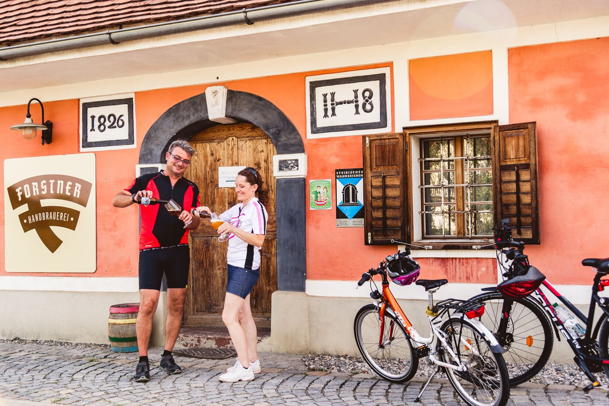
Virvokepysäkki
Lupaava
Lisää retkiä alueilla
-
Erlebnisregion Graz
261
-
Graz und Region Graz
129
-
Wundschuh
24